Old Maps of Las Vegas, Nevada
Explore 21 old maps of Las Vegas, spanning from 1907 to today. These high-resolution historic maps reveal how streets, neighborhoods, landmarks, and natural features evolved over time — perfect for genealogy, metal detecting, research, and local history exploration.
What you can do with these maps:
- See how Las Vegas changed over time: Compare historical maps to modern-day views to trace roads, homesites, rail lines & more.
- View detailed metadata: Each map includes creators, publishers, year, scale, and archive source.
- Overlay maps with satellite & LiDAR: Visualize the past alongside modern tools to explore terrain & human change.
- Trusted historical sources: Maps sourced from the USGS, Library of Congress, and other archives.
- Access maps your way: View online, download high-res files, or order prints for personal or research use.
Start exploring old maps of Las Vegas to uncover forgotten places, hidden landmarks, and the deep history beneath your feet.
Las Vegas, NV maps
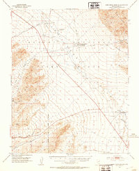
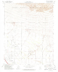
(21)- 1907 Map of Las Vegas, 1956 Print
 1907 Las Vegas1956 Print · USGSCovers Las Vegas, including Henderson, North Las Vegas, and other nearby areas
 - 1908 Map of Las Vegas
 1908 Las Vegas1908 Print · USGSCovers Las Vegas, including Henderson, North Las Vegas, and other nearby areas4 unique versions available
 - 1952 Map of Corn Creek Springs, 1953 Print
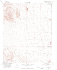
 1952 Corn Creek Springs1953 Print · USGSCovers Las Vegas, including Corn Creek, Lower Kyle Canyon, and other nearby areas3 unique versions available
 - 1952 Map of Gass Peak, 1953 Print
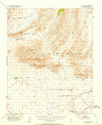 1952 Gass Peak1953 Print · USGSCovers Las Vegas, including North Las Vegas, Clark County, and other nearby areas4 unique versions available
 - 1952 Map of Blue Diamond, 1953 Print
 1952 Blue Diamond1953 Print · USGSCovers Las Vegas, including Summerlin South, Blue Diamond, and other nearby areas5 unique versions available
 - 1952 Map of Las Vegas, 1956 Print
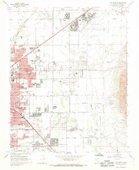
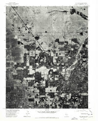
 1952 Las Vegas1956 Print · USGSCovers Las Vegas, including Henderson, North Las Vegas, and other nearby areas
 - 1954 Map of Las Vegas
 1954 Las Vegas1954 Print · USGSCovers Las Vegas, including Henderson, North Las Vegas, and other nearby areas5 unique versions available
 - 1957 Map of Las Vegas
 1957 Las Vegas1957 Print · USGSCovers Las Vegas, including Henderson, North Las Vegas, and other nearby areas
 - 1959 Map of Las Vegas
 1959 Las Vegas1959 Print · USGSCovers Las Vegas, including Henderson, North Las Vegas, and other nearby areas
 - 1962 Map of Las Vegas
 1962 Las Vegas1962 Print · USGSCovers Las Vegas, including Henderson, North Las Vegas, and other nearby areas
 - 1967 Map of Las Vegas NW, 1968 Print
 1967 Las Vegas NW1968 Print · USGSCovers Las Vegas, including North Las Vegas, Clark County, and other nearby areas6 unique versions available
 - 1967 Map of Las Vegas NE, 1968 Print
 1967 Las Vegas NE1968 Print · USGSCovers Las Vegas, including North Las Vegas, Sunrise Manor, and other nearby areas6 unique versions available
 - 1972 Map of Blue Diamond NE, 1974 Print
 1972 Blue Diamond NE1974 Print · USGSCovers Las Vegas, including Summerlin South, Clark County, and other nearby areas3 unique versions available
 - 1972 Map of La Madre Mtn, 1974 Print
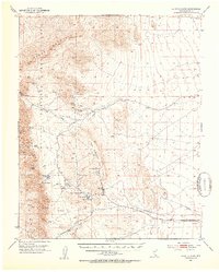
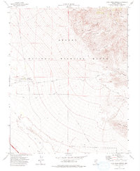
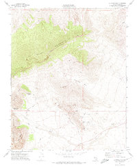 1972 La Madre Mtn1974 Print · USGSCovers Las Vegas, including Calico Basin, Clark County, and other nearby areas4 unique versions available
 - 1973 Map of Las Vegas NE, 1977 Print
 1973 Las Vegas NE1977 Print · USGSCovers Las Vegas, including North Las Vegas, Sunrise Manor, and other nearby areas
 - 1973 Map of Las Vegas NW, 1978 Print
 1973 Las Vegas NW1978 Print · USGSCovers Las Vegas, including North Las Vegas, Clark County, and other nearby areas
 - 1974 Map of Corn Creek Springs, 1976 Print
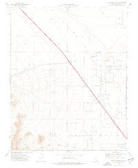
 1974 Corn Creek Springs1976 Print · USGSCovers Las Vegas, including Clark County, United States, and other nearby areas
 - 1974 Map of Tule Springs Park, 1977 Print
 1974 Tule Springs Park1977 Print · USGSCovers Las Vegas, including Clark County, United States, and other nearby areas3 unique versions available
 - 1974 Map of Grapevine Spring, 1977 Print
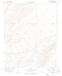 1974 Grapevine Spring1977 Print · USGSCovers Las Vegas, including Lower Kyle Canyon, Clark County, and other nearby areas
 - 1974 Map of Gass Peak SW, 1977 Print
 1974 Gass Peak SW1977 Print · USGSCovers Las Vegas, including North Las Vegas, Clark County, and other nearby areas3 unique versions available
 - 1986 Map of Las Vegas
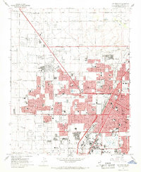
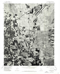
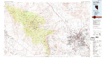 1986 Las Vegas1986 Print · USGSCovers Las Vegas, including Henderson, North Las Vegas, and other nearby areas4 unique versions available
End of results
Showing maps 1-21 of 21
Top cities near Las Vegas
- Henderson historical maps
- North Las Vegas historical maps
- Enterprise historical maps
- Spring Valley historical maps
- Sunrise Manor historical maps
- Paradise historical maps
See more
Top neighborhoods of Las Vegas
- Lower Kyle Canyon historical maps
- Eastland Heights historical maps
- Inner Northwest historical maps
- Lone Mountain historical maps
- West Las Vegas historical maps
- Twin Lakes historical maps
See more
Frequently asked questions
- What are the different types of historical maps available for Las Vegas?
- What is the oldest map of Las Vegas?
- Where can I purchase historical maps of Las Vegas for my home or office?
- Where can I download high-res historical maps of Las Vegas?
- Are there historical topographic maps available for Las Vegas?
- Is there historical aerial imagery available for Las Vegas?
- Where are historical maps of Las Vegas sourced from?