Old Maps of Maleza Baja, Aguadilla
Explore 11 old maps of Maleza Baja, spanning from 1937 to today. These high-resolution historic maps reveal how streets, neighborhoods, landmarks, and natural features evolved over time — perfect for genealogy, metal detecting, research, and local history exploration.
What you can do with these maps:
- See how Maleza Baja changed over time: Compare historical maps to modern-day views to trace roads, homesites, rail lines & more.
- View detailed metadata: Each map includes creators, publishers, year, scale, and archive source.
- Overlay maps with satellite & LiDAR: Visualize the past alongside modern tools to explore terrain & human change.
- Trusted historical sources: Maps sourced from the USGS, Library of Congress, and other archives.
- Access maps your way: View online, download high-res files, or order prints for personal or research use.
Start exploring old maps of Maleza Baja to uncover forgotten places, hidden landmarks, and the deep history beneath your feet.
Maleza Baja, Aguadilla maps
(11)- 1937 Map of Aguadilla
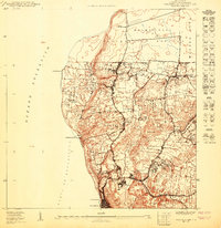
 1937 Aguadilla1937 Print · USGSNorthwestern Puerto Rico during the late 1930s reveals a landscape of coastal settlements and industrial rail lines. Genealogists and historians can trace the foundations of local communities through landmarks like the Iglesia de la Conception and the American railroad route through Coloso.
 - 1942 Map of Aguadilla
 1942 Aguadilla1942 Print · USGSCoastal life in northwest Puerto Rico during the early 1940s centered on the rail lines and rivers of the Aguadilla region. Genealogists and historians can trace family roots through the numerous railroad stops of the American Railroad or locate historical landmarks like the Pta Borinquen L H and the Iglesia Aguadilla.5 unique versions available
 - 1950 Map of Aguadilla NE
 1950 Aguadilla NE1950 Print · USGSThe Aguadilla coastline in the mid-century shows a landscape shaped by the rail industry and military presence. Genealogists and historians can trace the development of housing at Caserío José de Diego and the path of the American Railroad Company of Porto Rico.
 - 1950 Map of Aguadilla NNE
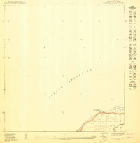 1950 Aguadilla NNE1950 Print · USGSCoastal Aguadilla in the mid-twentieth century is defined here by its strategic military geography and rugged shoreline. Researchers can trace the boundaries of the Reservación Militar Maleza Baja and locate landmarks like Pta Agujereada and Washington.
 - 1960 Map of Aguadilla, 1962 Print
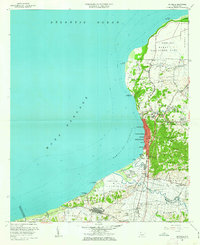 1960 Aguadilla1962 Print · USGSCoastal Aguadilla and the surrounding municipios are shown during a period of significant growth at the start of the 1960s. Researchers can trace the layout of Ramey Air Force Base, find local landmarks like Colegio San Carlos, or follow the Via Del Ferrocarril through Aguada.5 unique versions available
 - 2013 Map of Aguadilla, 2013 Print
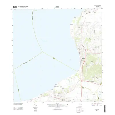 2013 Aguadilla2013 Print · USGSCovers Maleza Baja, including Aguadilla, Aguada, and other nearby areas
 - 2013 Map of Aguadilla OE N, 2013 Print
 2013 Aguadilla OE N2013 Print · USGSCovers Maleza Baja, including Aguadilla, Puerto Rico, and other nearby areas
 - 2018 Map of Aguadilla, 2018 Print
 2018 Aguadilla2018 Print · USGSCovers Maleza Baja, including Aguadilla, Aguada, and other nearby areas
 - 2018 Map of Aguadilla OE N, 2018 Print
 2018 Aguadilla OE N2018 Print · USGSCovers Maleza Baja, including Aguadilla, Puerto Rico, and other nearby areas
 - 2024 Map of Aguadilla OE N, 2024 Print
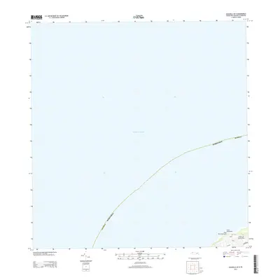
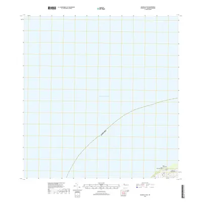
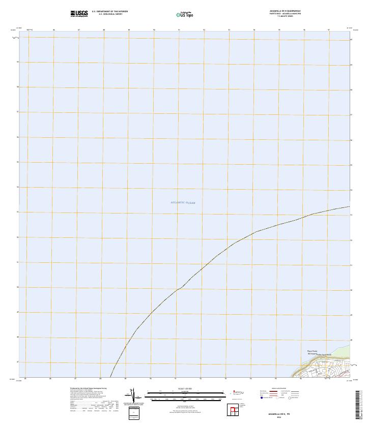 2024 Aguadilla OE N2024 Print · USGSCoastal Puerto Rico at the island's northwestern edge is captured in this survey, showing the waters of the Atlantic Ocean meeting the shore. You can trace the road networks near Playa Punta Borinquen and the point at Punta Agujereada.
 - 2024 Map of Aguadilla, 2024 Print
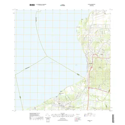
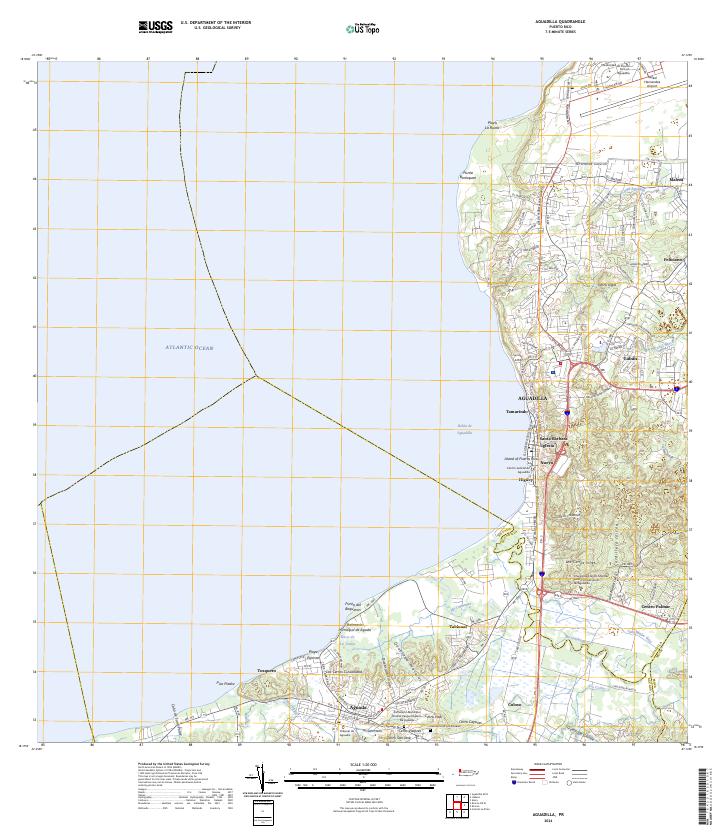 2024 Aguadilla2024 Print · USGSAguadilla and its neighboring coastal settlements are captured here in the early twenty-first century. Researchers can trace family roots at the Cementerio Los Rosales or explore landmarks like the Rafael Hernandez Airport.
End of results
Showing maps 1-11 of 11
Frequently asked questions
- What are the different types of historical maps available for Maleza Baja?
- What is the oldest map of Maleza Baja?
- Where can I purchase historical maps of Maleza Baja for my home or office?
- Where can I download high-res historical maps of Maleza Baja?
- Are there historical topographic maps available for Maleza Baja?
- Is there historical aerial imagery available for Maleza Baja?
- Where are historical maps of Maleza Baja sourced from?