Old Maps of Peter Bay, Saint Thomas - Saint John District
Explore 3 old maps of Peter Bay, spanning from 1958 to today. These high-resolution historic maps reveal how streets, neighborhoods, landmarks, and natural features evolved over time — perfect for genealogy, metal detecting, research, and local history exploration.
What you can do with these maps:
- See how Peter Bay changed over time: Compare historical maps to modern-day views to trace roads, homesites, rail lines & more.
- View detailed metadata: Each map includes creators, publishers, year, scale, and archive source.
- Overlay maps with satellite & LiDAR: Visualize the past alongside modern tools to explore terrain & human change.
- Trusted historical sources: Maps sourced from the USGS, Library of Congress, and other archives.
- Access maps your way: View online, download high-res files, or order prints for personal or research use.
Start exploring old maps of Peter Bay to uncover forgotten places, hidden landmarks, and the deep history beneath your feet.
Peter Bay, Saint Thomas - Saint John District maps
(3)- 1958 Map of Western St. John, 1959 Print
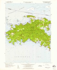 1958 Western St. John1959 Print · USGSSt. John in the late fifties shows a transition between traditional island life and the establishment of the Virgin Islands National Park. Genealogists and historians can trace family locations at Herman Farm, the settlement of Enighed, and the historic Emmaus church.6 unique versions available
 - 2013 Map of Cruz Bay, 2013 Print
 2013 Cruz Bay2013 Print · USGSCovers Peter Bay, including Anna's Retreat, Cruz Bay, and other nearby areas
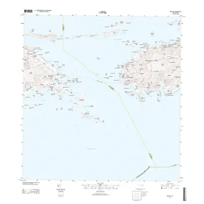
 - 2024 Map of Cruz Bay, 2024 Print
 2024 Cruz Bay2024 Print · USGSThe waters and hills of Saint John and eastern Saint Thomas are shown in their current form, including the entire Virgin Islands National Park boundary. Trace the heritage of the islands through old estate names and burial sites like L'Esperance and the Beverhoudt Cem.
End of results
Showing maps 1-3 of 3
Frequently asked questions
- What are the different types of historical maps available for Peter Bay?
- What is the oldest map of Peter Bay?
- Where can I purchase historical maps of Peter Bay for my home or office?
- Where can I download high-res historical maps of Peter Bay?
- Are there historical topographic maps available for Peter Bay?
- Is there historical aerial imagery available for Peter Bay?
- Where are historical maps of Peter Bay sourced from?