Old Maps of Headland, Alabama
Explore 28 old maps of Headland, spanning from 1953 to today. These high-resolution historic maps reveal how streets, neighborhoods, landmarks, and natural features evolved over time — perfect for genealogy, metal detecting, research, and local history exploration.
What you can do with these maps:
- See how Headland changed over time: Compare historical maps to modern-day views to trace roads, homesites, rail lines & more.
- View detailed metadata: Each map includes creators, publishers, year, scale, and archive source.
- Overlay maps with satellite & LiDAR: Visualize the past alongside modern tools to explore terrain & human change.
- Trusted historical sources: Maps sourced from the USGS, Library of Congress, and other archives.
- Access maps your way: View online, download high-res files, or order prints for personal or research use.
Start exploring old maps of Headland to uncover forgotten places, hidden landmarks, and the deep history beneath your feet.
Headland, AL maps
(28)- 1953 Map of Dothan, 1966 Print
 1953 Dothan1966 Print · USGSSoutheast Alabama and Southwest Georgia are captured during a period of massive hydraulic and military expansion in the mid-fifties. Genealogists and historians can trace rural landmarks like Antioch Church and School, the Andrew Jackson Monument, and the early footprint of Fort Rucker Military Reservation.3 unique versions available
 - 1954 Map of Dothan
 1954 Dothan1954 Print · USGSSoutheast Alabama and Southwest Georgia are seen here in the mid-fifties, during a decade of military expansion and rural transition. Genealogists can trace the location of country schools like Little Zion School or the grounds of Kolomoki Mounds State Park.
 - 1955 Map of Dothan
 1955 Dothan1955 Print · USGSSoutheast Alabama and Southwest Georgia are captured here in the mid-fifties, showing a landscape of river-port history and growing military bases. Researchers can trace rural life via the Andrew Jackson Monument, Bauxite mines, and the Central of Georgia RR.
 - 1969 Map of Midland City, 1971 Print
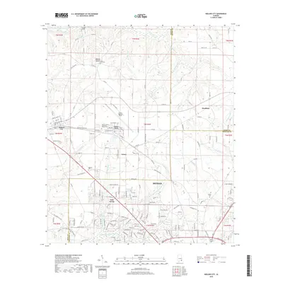
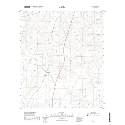
 1969 Midland City1971 Print · USGSSoutheast Alabama at the end of the sixties reveals a landscape balancing its agricultural roots with new industrial and educational growth. Researchers can trace family-named landmarks like Murphy Millpond and historic rural sanctuaries including Mt Pleasant Ch and Magnolia Ch.2 unique versions available
 - 1969 Map of Headland, 1971 Print
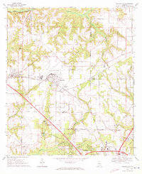
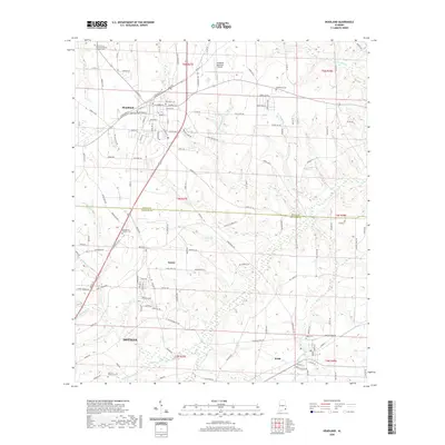
 1969 Headland1971 Print · USGSHenry and Houston County agricultural lands thrive during the late sixties as the railways drive local commerce. Genealogists and historians can trace family roots through Gardens of Memory Cem, Northside Sch, and several rural churches like Bethlehem Ch.
 - 1969 Map of Echo, 1971 Print
 1969 Echo1971 Print · USGSThe rural landscape of Dale and Henry County is captured here in the late sixties, centered on the community of Echo. Genealogists and historians can trace numerous country sanctuaries such as Christian Hill Ch and New Hope Ch, or locate the U S MIL RES FORT RUCKER military boundary.2 unique versions available
 - 1969 Map of Newville, 1972 Print
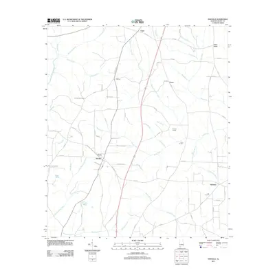
 1969 Newville1972 Print · USGSHenry County agricultural life in the late sixties centers on the rail-side community of Newville and its surrounding farmsteads. Local historians can trace family locations and community hubs like Rosenwall Sch, Tumbleton, and Mt Sinai Cem.2 unique versions available
 - 1981 Map of Dothan, 1982 Print
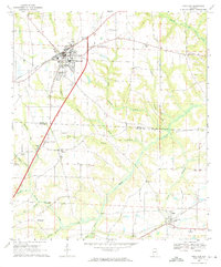
 1981 Dothan1982 Print · USGSSoutheast Alabama and the tri-state border region are shown here in the early 1980s as the area thrived on military and rail connectivity. Researchers can trace historic transit lines like the Hartford and Slocomb railroad or locate family roots in Ozark, Headland, and Geneva.
 - 2011 Map of Midland City, 2011 Print
 2011 Midland City2011 Print · USGSCovers Headland, including Dothan, Midland City, and other nearby areas
 - 2011 Map of Newville, 2011 Print
 2011 Newville2011 Print · USGSCovers Headland, including Newville, Oakey Grove, and other nearby areas
 - 2011 Map of Echo, 2011 Print
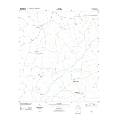 2011 Echo2011 Print · USGSCovers Headland, including Mount Enon, Lewis, and other nearby areas
 - 2011 Map of Headland, 2011 Print
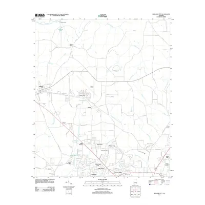
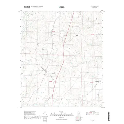
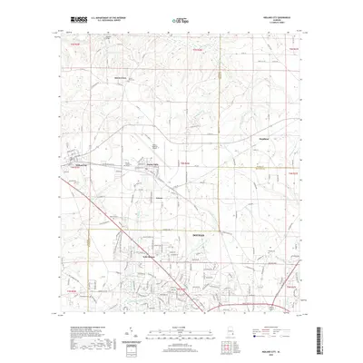
 2011 Headland2011 Print · USGSCovers Headland, including Dothan, Kinsey, and other nearby areas
 - 2014 Map of Newville, 2014 Print
 2014 Newville2014 Print · USGSCovers Headland, including Newville, Oakey Grove, and other nearby areas
 - 2014 Map of Echo, 2014 Print
 2014 Echo2014 Print · USGSCovers Headland, including Mount Enon, Lewis, and other nearby areas
 - 2014 Map of Headland, 2014 Print
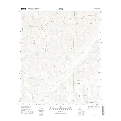
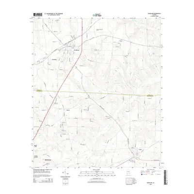 2014 Headland2014 Print · USGSCovers Headland, including Dothan, Kinsey, and other nearby areas
 - 2014 Map of Midland City, 2014 Print
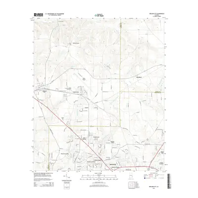 2014 Midland City2014 Print · USGSCovers Headland, including Dothan, Midland City, and other nearby areas
 - 2018 Map of Headland, 2018 Print
 2018 Headland2018 Print · USGSCovers Headland, including Dothan, Kinsey, and other nearby areas
 - 2018 Map of Newville, 2018 Print
 2018 Newville2018 Print · USGSCovers Headland, including Newville, Oakey Grove, and other nearby areas
 - 2018 Map of Echo, 2018 Print
 2018 Echo2018 Print · USGSCovers Headland, including Mount Enon, Lewis, and other nearby areas
 - 2018 Map of Midland City, 2018 Print
 2018 Midland City2018 Print · USGSCovers Headland, including Dothan, Midland City, and other nearby areas
 - 2020 Map of Echo, 2020 Print
 2020 Echo2020 Print · USGSCovers Headland, including Mount Enon, Lewis, and other nearby areas
 - 2020 Map of Newville, 2020 Print
 2020 Newville2020 Print · USGSCovers Headland, including Newville, Oakey Grove, and other nearby areas
 - 2020 Map of Headland, 2020 Print
 2020 Headland2020 Print · USGSCovers Headland, including Dothan, Kinsey, and other nearby areas
 - 2020 Map of Midland City, 2020 Print
 2020 Midland City2020 Print · USGSCovers Headland, including Dothan, Midland City, and other nearby areas
 - 2024 Map of Headland, 2024 Print
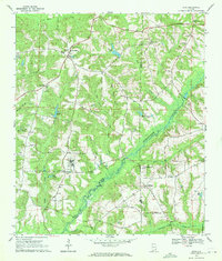
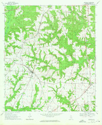
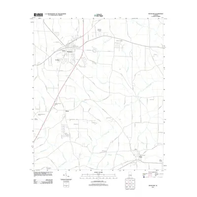
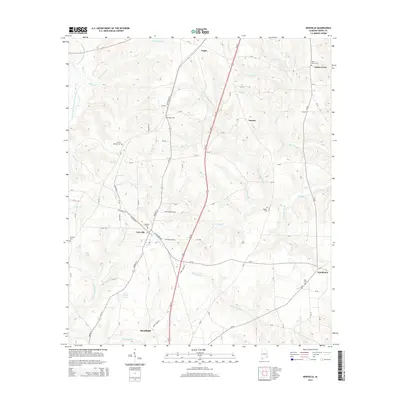
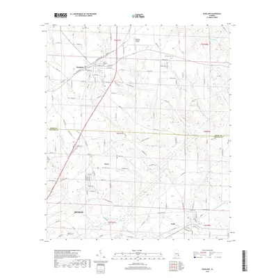
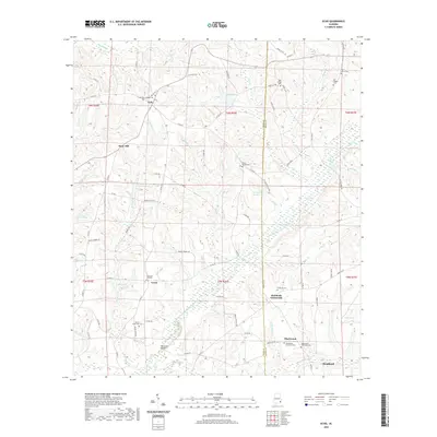
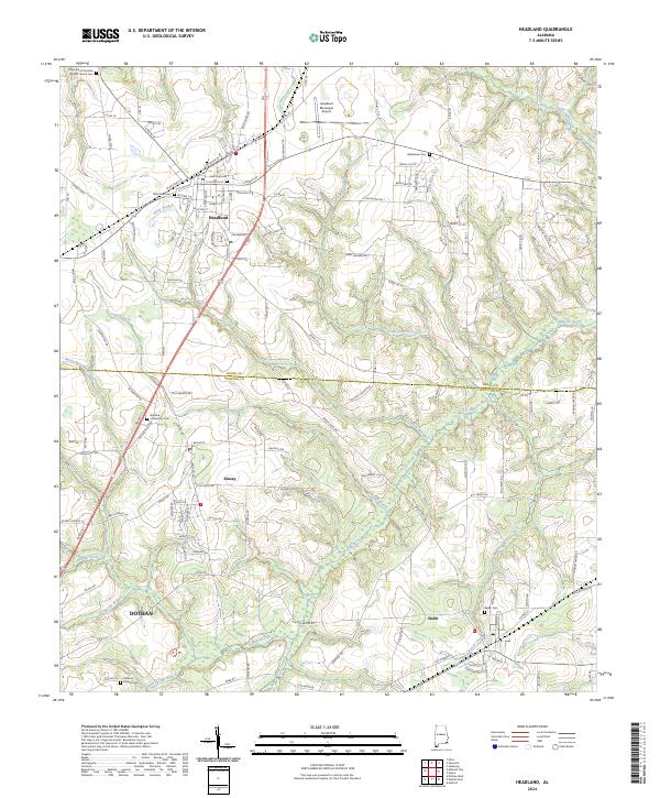 2024 Headland2024 Print · USGSHeadland and northern Dothan are captured in this recent survey of the Henry and Houston county borderlands. Researchers can locate family sites at Bethlehem Cem or Gardens of Memory Cem and trace the waters of Omusee Creek toward Webb.
Showing maps 1-25 of 28
Top cities near Headland
- Dothan historical maps
- Ozark historical maps
- Abbeville historical maps
- Taylor historical maps
- Ashford historical maps
- Midland City historical maps
See more
Top neighborhoods of Headland
Frequently asked questions
- What are the different types of historical maps available for Headland?
- What is the oldest map of Headland?
- Where can I purchase historical maps of Headland for my home or office?
- Where can I download high-res historical maps of Headland?
- Are there historical topographic maps available for Headland?
- Is there historical aerial imagery available for Headland?
- Where are historical maps of Headland sourced from?