Old Maps of Mount Olive, Arkansas
Explore 11 old maps of Mount Olive, spanning from 1935 to today. These high-resolution historic maps reveal how streets, neighborhoods, landmarks, and natural features evolved over time — perfect for genealogy, metal detecting, research, and local history exploration.
What you can do with these maps:
- See how Mount Olive changed over time: Compare historical maps to modern-day views to trace roads, homesites, rail lines & more.
- View detailed metadata: Each map includes creators, publishers, year, scale, and archive source.
- Overlay maps with satellite & LiDAR: Visualize the past alongside modern tools to explore terrain & human change.
- Trusted historical sources: Maps sourced from the USGS, Library of Congress, and other archives.
- Access maps your way: View online, download high-res files, or order prints for personal or research use.
Start exploring old maps of Mount Olive to uncover forgotten places, hidden landmarks, and the deep history beneath your feet.
Mount Olive, AR maps
(11)- 1935 Map of Mist
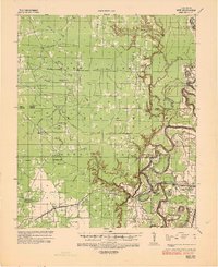 1935 Mist1935 Print · USGSSoutheastern Arkansas during the mid-1930s is revealed here as a landscape of bayous and winding timber rails. Genealogists can trace family footprints at Promised Land Ch & Sch or Grizzle Cem, and map the defunct Abandoned Logging Railroad lines.
 - 1953 Map of Greenwood, 1966 Print
 1953 Greenwood1966 Print · USGSThe Mississippi Delta in the mid-fifties is captured here as a thriving network of river towns, railroads, and oxbow lakes. Researchers can trace the legacy of the Illinois Central Railroad and locate landmarks like the State Penal Farm and Greenville Air Force Base.5 unique versions available
 - 1956 Map of Greenwood
 1956 Greenwood1956 Print · USGSThe Mississippi Delta in the mid-fifties is captured here during a period of significant military and agricultural activity. Researchers can trace the rail lines of the Illinois Central RR, find the Greenville Air Force Base, or locate the State Penal Farm.
 - 1960 Map of Mist, 1961 Print
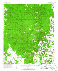 1960 Mist1961 Print · USGSSoutheast Arkansas in the early sixties was a landscape of winding bayous and rail-dependent towns like Montrose and Snyder. Genealogists can locate family-named sites such as Townsend Cem and Judking Cem along the bends of Bayou Bartholomew.2 unique versions available
 - 1960 Map of Mist, 1961 Print
 1960 Mist1961 Print · USGSAshley County in the early sixties reveals a landscape shaped by the Missouri Pacific railroad and the vast Banner Prairie. Researchers can trace local genealogy through sites like Central Cem and Mt Olive Ch, or locate the quiet crossroads of Mist and Berea.2 unique versions available
 - 1986 Map of Crossett
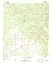
 1986 Crossett1986 Print · USGSSoutheast Arkansas and the Mississippi Delta meet in the mid-1980s, revealing a landscape of rail-linked towns and river bottomlands. Researchers can trace the Missouri Pacific line through Hamburg and Parkdale or locate Millers Chapel and Winterville Mounds State Park.2 unique versions available
 - 2011 Map of Mist, 2011 Print
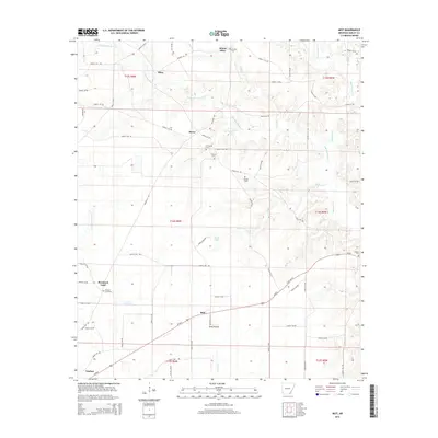
 2011 Mist2011 Print · USGSCovers Mount Olive, including Mist, Promised Land, and other nearby areas
 - 2014 Map of Mist, 2014 Print
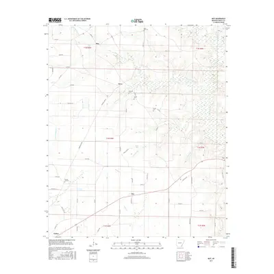
 2014 Mist2014 Print · USGSCovers Mount Olive, including Mist, Promised Land, and other nearby areas
 - 2017 Map of Mist, 2017 Print
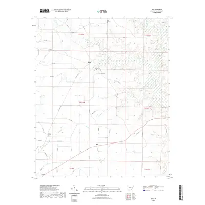
 2017 Mist2017 Print · USGSCovers Mount Olive, including Mist, Promised Land, and other nearby areas
 - 2020 Map of Mist, 2020 Print
 2020 Mist2020 Print · USGSCovers Mount Olive, including Mist, Promised Land, and other nearby areas
 - 2024 Map of Mist, 2024 Print
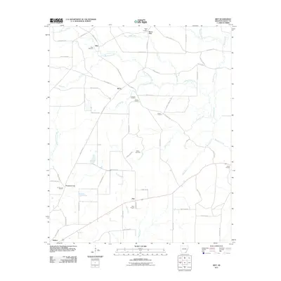
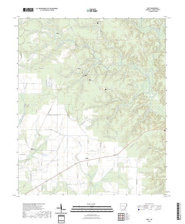 2024 Mist2024 Print · USGSSoutheast Arkansas in the 2020s remains a landscape of quiet rural crossroads and deep creek bottoms. Genealogists can trace family footprints through community sites like Berea or Riley and burial grounds such as Griswould Cem and Promise Land Cem.
End of results
Showing maps 1-11 of 11
Top cities near Mount Olive
- Monticello historical maps
- Hamburg historical maps
- Portland historical maps
- Montrose historical maps
- Fountain Hill historical maps
- Jerome historical maps
Frequently asked questions
- What are the different types of historical maps available for Mount Olive?
- What is the oldest map of Mount Olive?
- Where can I purchase historical maps of Mount Olive for my home or office?
- Where can I download high-res historical maps of Mount Olive?
- Are there historical topographic maps available for Mount Olive?
- Is there historical aerial imagery available for Mount Olive?
- Where are historical maps of Mount Olive sourced from?