Old Maps of Weldon, Arkansas
Explore 11 old maps of Weldon, spanning from 1940 to today. These high-resolution historic maps reveal how streets, neighborhoods, landmarks, and natural features evolved over time — perfect for genealogy, metal detecting, research, and local history exploration.
What you can do with these maps:
- See how Weldon changed over time: Compare historical maps to modern-day views to trace roads, homesites, rail lines & more.
- View detailed metadata: Each map includes creators, publishers, year, scale, and archive source.
- Overlay maps with satellite & LiDAR: Visualize the past alongside modern tools to explore terrain & human change.
- Trusted historical sources: Maps sourced from the USGS, Library of Congress, and other archives.
- Access maps your way: View online, download high-res files, or order prints for personal or research use.
Start exploring old maps of Weldon to uncover forgotten places, hidden landmarks, and the deep history beneath your feet.
Weldon, AR maps
(11)- 1940 Map of Tilton, 1947 Print
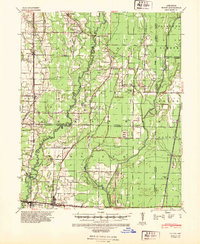 1940 Tilton1947 Print · USGSEastern Arkansas at the start of the 1940s is captured here as a landscape of river-fed bottoms and thriving rail-side towns. Genealogists and local historians can trace family roots through the numerous rural landmarks like Fakes Chapel & Cem, Pumpkin Bend Cem, and Weldon Sch.2 unique versions available
 - 1953 Map of Memphis, 1966 Print
 1953 Memphis1966 Print · USGSEastern Arkansas and the Memphis riverfront are shown here during the mid-century period of regional growth and river management. Local historians can trace the paths of the Chicago Rock Island & Pacific RR through Forrest City or locate river landmarks like President's Island.3 unique versions available
 - 1956 Map of Memphis
 1956 Memphis1956 Print · USGSThe Mississippi Delta and the bluffs of West Tennessee meet in the mid-fifties, showing a landscape defined by massive river systems and rail hubs. Researchers can trace the path of Crowleys Ridge or locate vanished river landings near Centennial Island and Island No 35.
 - 1956 Map of Tilton
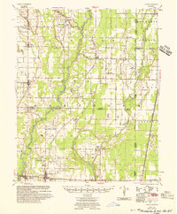 1956 Tilton1956 Print · USGSThe Arkansas Delta comes into focus in the mid-1950s, showing a landscape of drainage canals and rail-line towns. Researchers can trace family roots at Pumpkin Bend, Beedeville, and the crossroads of McCrory.
 - 1980 Map of Tupelo
 1980 Tupelo1980 Print · USGSThe agricultural plains of Jackson County are shown in the early eighties as a sophisticated landscape of drainage canals and small-town junctions. Researchers can locate family sites and rural landmarks like McDonald Cem, the Fish Hatchery, and Breckenridge Landing Field.
 - 1986 Map of Searcy
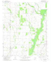
 1986 Searcy1986 Print · USGSWhite County and its neighbors reached a period of established agricultural and rail prosperity by the mid-1980s. Local researchers can trace the routes of the Missouri Pacific RR and locate rural communities like Velvet Ridge, Sunnydale, and Cotton Plant.2 unique versions available
 - 2011 Map of Tupelo, 2011 Print
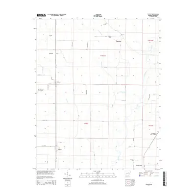
 2011 Tupelo2011 Print · USGSCovers Weldon, including Tupelo, Blackville, and other nearby areas
 - 2014 Map of Tupelo, 2014 Print
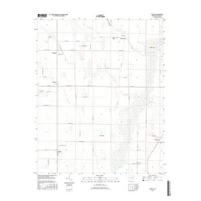
 2014 Tupelo2014 Print · USGSCovers Weldon, including Tupelo, Blackville, and other nearby areas
 - 2017 Map of Tupelo, 2017 Print
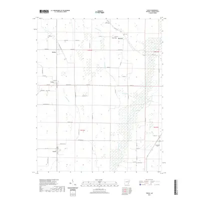
 2017 Tupelo2017 Print · USGSCovers Weldon, including Tupelo, Blackville, and other nearby areas
 - 2020 Map of Tupelo, 2020 Print
 2020 Tupelo2020 Print · USGSCovers Weldon, including Tupelo, Blackville, and other nearby areas
 - 2024 Map of Tupelo, 2024 Print
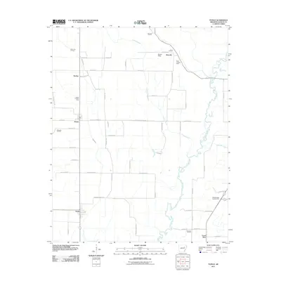
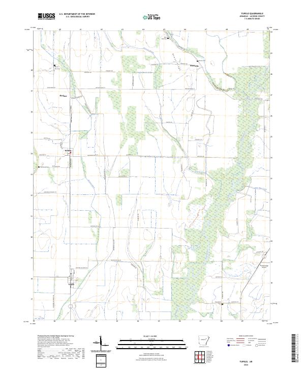 2024 Tupelo2024 Print · USGSJackson County's delta landscape is defined by the winding Cache River and its dense bottomland forests. Genealogists and historians can locate established burial grounds like Mount Zion Cem and trace the rural layouts of Tupelo, Weldon, and Shoffner.
End of results
Showing maps 1-11 of 11
Top cities near Weldon
- Newport historical maps
- Augusta historical maps
- McCrory historical maps
- Diaz historical maps
- Bradford historical maps
- Patterson historical maps
See more
Frequently asked questions
- What are the different types of historical maps available for Weldon?
- What is the oldest map of Weldon?
- Where can I purchase historical maps of Weldon for my home or office?
- Where can I download high-res historical maps of Weldon?
- Are there historical topographic maps available for Weldon?
- Is there historical aerial imagery available for Weldon?
- Where are historical maps of Weldon sourced from?