Old Maps of Silver Cliff, Colorado
Explore 35 old maps of Silver Cliff, spanning from 1889 to today. These high-resolution historic maps reveal how streets, neighborhoods, landmarks, and natural features evolved over time — perfect for genealogy, metal detecting, research, and local history exploration.
What you can do with these maps:
- See how Silver Cliff changed over time: Compare historical maps to modern-day views to trace roads, homesites, rail lines & more.
- View detailed metadata: Each map includes creators, publishers, year, scale, and archive source.
- Overlay maps with satellite & LiDAR: Visualize the past alongside modern tools to explore terrain & human change.
- Trusted historical sources: Maps sourced from the USGS, Library of Congress, and other archives.
- Access maps your way: View online, download high-res files, or order prints for personal or research use.
Start exploring old maps of Silver Cliff to uncover forgotten places, hidden landmarks, and the deep history beneath your feet.
Silver Cliff, CO maps
(35)- 1889 Map of Canon City
 1889 Canon City1889 Print · USGSFremont and Custer counties appear here during the peak of the Colorado silver boom, when mining and rail expansion transformed the valley. Genealogists can trace family roots in early settlements like Silver Cliff, Rosita, and the coal camps of Rockvale.2 unique versions available
 - 1892 Map of Canon City
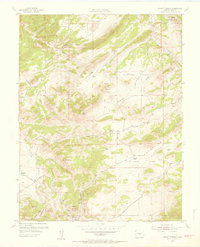
 1892 Canon City1892 Print · USGSThe mining camps of Custer and Fremont counties were in their prime during the 1890s silver and coal boom. Genealogists and historians can trace the early rail networks and locate hard-rock operations like the Bassick Mine or settlements such as Silver Cliff and Querida.8 unique versions available
 - 1954 Map of Mount Tyndall, 1956 Print
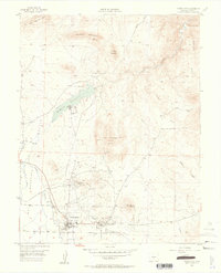
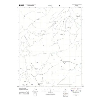
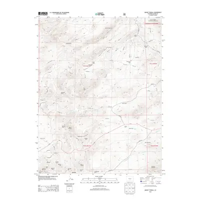
 1954 Mount Tyndall1956 Print · USGSCuster County in the early 1950s shows a transition between its mining heritage and high-altitude ranching life. Genealogists and historians can trace family land at Armstrong Ranch or Kness Ranch, and locate the Bassick Mine near the settlements of Rosita and Querida.6 unique versions available
 - 1954 Map of Rosita, 1956 Print
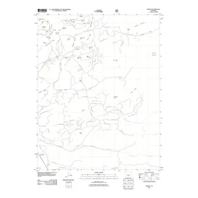
 1954 Rosita1956 Print · USGSCuster County ranching and mining communities are documented here in the mid-1950s before significant modern development. Genealogists can trace local roots at Rosita Cem or locate the historic school sites at Antelope Sch and Junkins Park Sch.4 unique versions available
 - 1954 Map of Pueblo, 1966 Print
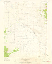
 1954 Pueblo1966 Print · USGSMid-century Colorado comes alive in this survey of the Front Range and the high plains as the region expanded after the war. Genealogists and historians can trace family roots through rural landmarks like Hanover Church, Pioneer Cemetery, and the Grandview School.3 unique versions available
 - 1955 Map of Westcliffe, 1957 Print
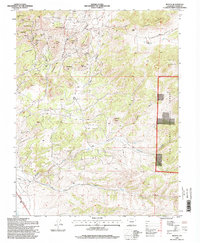
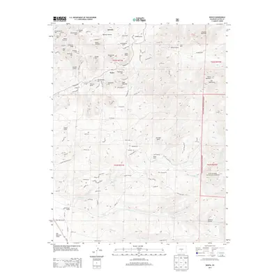
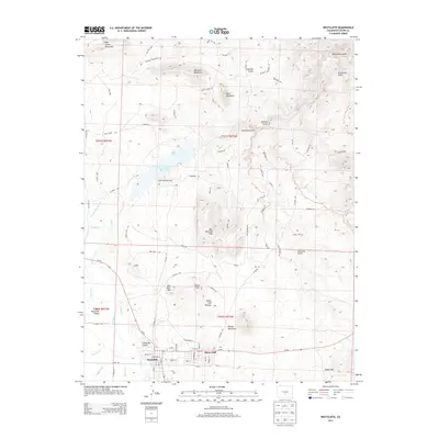
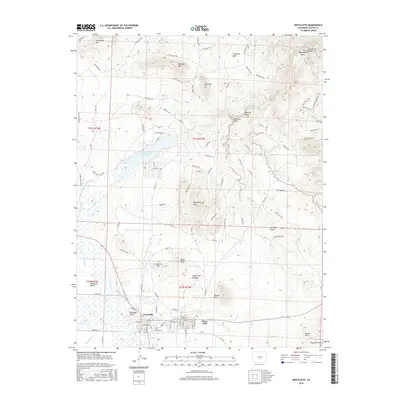
 1955 Westcliffe1957 Print · USGSIn the mid-fifties, the silver-mining legacy of Custer County was still visible across the high valley floor near Westcliffe. Genealogists and historians can trace the Old Railroad Grade and locate mining operations like the Bull Domingo Mine or the Defender Mine (Active).4 unique versions available
 - 1957 Map of Pueblo
 1957 Pueblo1957 Print · USGSMid-century Colorado comes alive as the Front Range urban centers expand alongside massive Cold War military installations. Genealogists and historians can trace the foundations of Stone City, rural sites like Hanover School, and the industrial Canon Imperial Mine.
 - 1957 Map of Aldrich Gulch, 1958 Print
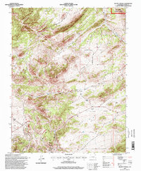
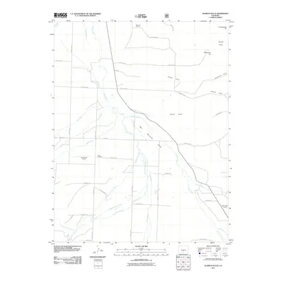
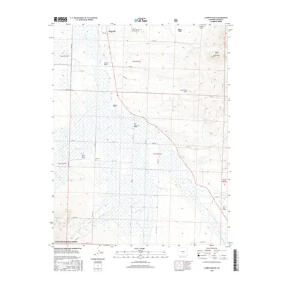
 1957 Aldrich Gulch1958 Print · USGSCuster County ranching and mining lands come into focus during the late fifties as the high mountain valleys were being mapped in detail. Genealogists and historians can trace the paths of Colfax Lane to the Silver Cliff Cemetery or find early industry at the Strip Mine.5 unique versions available
 - 1958 Map of Pueblo
 1958 Pueblo1958 Print · USGSColorado's Front Range and Arkansas River Valley come alive in the late fifties, showing the transition from historic mining districts to major military and rail hubs. Genealogists and historians can trace family roots in ranching communities and find landmarks like Cripple Creek, Manitou, and the Hanover School.
 - 1962 Map of Pueblo
 1962 Pueblo1962 Print · USGSThe Front Range and high plains meet in the early sixties as military installations and industrial mining shape the corridor from Colorado Springs to Pueblo. Genealogists can trace family names through rural landmarks like the Columbine School, Hanover Church, and Fairview Cem.
 - 1966 Map of Pueblo
 1966 Pueblo1966 Print · USGSThe Front Range and Arkansas River Valley are captured here in the mid-1960s, showing a landscape shaped by mining, military expansion, and rail. Researchers can locate numerous country schools and mines, such as the Lytle School, Pioneer Cem, and Empire Zinc Mine.
 - 1982 Map of Canon City, 1983 Print
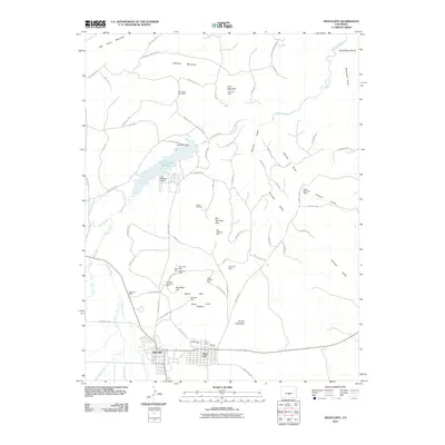
 1982 Canon City1983 Print · USGSCentral Colorado in the early eighties shows a landscape shaped by high peaks and river-valley industry. Genealogists can locate family sites near Silver Cliff, Union Highland Cem, or the State Prison Farm.
 - 1989 Map of Pueblo
 1989 Pueblo1989 Print · USGSIn the late eighties, the Colorado Front Range balanced its deep mining history with massive military expansion and water development. Researchers can trace the rail lines of the AT & SF RR or locate remote high-altitude settlements like Rosita and Querida.
 - 1994 Map of Mount Tyndall, 1998 Print
 1994 Mount Tyndall1998 Print · USGSCuster County ranching and silver-mining history are preserved here in the final years of the twentieth century. Genealogists and historians can trace old family holdings like Armstrong Ranch or find mining remnants near Querida and Bassick Hill.
 - 1994 Map of Rosita, 1998 Print
 1994 Rosita1998 Print · USGSCuster County's high-altitude mining and ranching legacy is preserved here in the final years of the twentieth century. Genealogists and historians can trace the foundations of Rosita and Querida, locate the Pioneer Cem, and find old mountain sites like Smith Ranch or Pocahontas Hill.
 - 2010 Map of Westcliffe, 2010 Print
 2010 Westcliffe2010 Print · USGSCovers Silver Cliff, including Westcliffe, Custer County, and other nearby areas
 - 2011 Map of Mount Tyndall, 2011 Print
 2011 Mount Tyndall2011 Print · USGSCovers Silver Cliff, including Querida, Custer County, and other nearby areas
 - 2011 Map of Rosita, 2011 Print
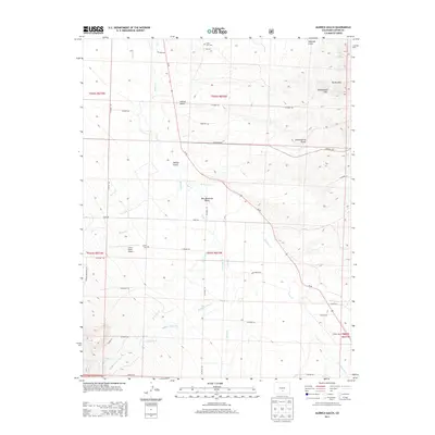
 2011 Rosita2011 Print · USGSCovers Silver Cliff, including Rosita, Custer County, and other nearby areas
 - 2011 Map of Aldrich Gulch, 2011 Print
 2011 Aldrich Gulch2011 Print · USGSCovers Silver Cliff, including Westcliffe, Custer County, and other nearby areas
 - 2013 Map of Aldrich Gulch, 2013 Print
 2013 Aldrich Gulch2013 Print · USGSCovers Silver Cliff, including Westcliffe, Custer County, and other nearby areas
 - 2013 Map of Rosita, 2013 Print
 2013 Rosita2013 Print · USGSCovers Silver Cliff, including Rosita, Custer County, and other nearby areas
 - 2013 Map of Mount Tyndall, 2013 Print
 2013 Mount Tyndall2013 Print · USGSCovers Silver Cliff, including Querida, Custer County, and other nearby areas
 - 2013 Map of Westcliffe, 2013 Print
 2013 Westcliffe2013 Print · USGSCovers Silver Cliff, including Westcliffe, Custer County, and other nearby areas
 - 2016 Map of Westcliffe, 2016 Print
 2016 Westcliffe2016 Print · USGSCovers Silver Cliff, including Westcliffe, Custer County, and other nearby areas
 - 2016 Map of Aldrich Gulch, 2016 Print
 2016 Aldrich Gulch2016 Print · USGSCovers Silver Cliff, including Westcliffe, Custer County, and other nearby areas
Showing maps 1-25 of 35
Top cities near Silver Cliff
Frequently asked questions
- What are the different types of historical maps available for Silver Cliff?
- What is the oldest map of Silver Cliff?
- Where can I purchase historical maps of Silver Cliff for my home or office?
- Where can I download high-res historical maps of Silver Cliff?
- Are there historical topographic maps available for Silver Cliff?
- Is there historical aerial imagery available for Silver Cliff?
- Where are historical maps of Silver Cliff sourced from?