Old Maps of Punta Gorda, Florida
Explore 18 old maps of Punta Gorda, spanning from 1956 to today. These high-resolution historic maps reveal how streets, neighborhoods, landmarks, and natural features evolved over time — perfect for genealogy, metal detecting, research, and local history exploration.
What you can do with these maps:
- See how Punta Gorda changed over time: Compare historical maps to modern-day views to trace roads, homesites, rail lines & more.
- View detailed metadata: Each map includes creators, publishers, year, scale, and archive source.
- Overlay maps with satellite & LiDAR: Visualize the past alongside modern tools to explore terrain & human change.
- Trusted historical sources: Maps sourced from the USGS, Library of Congress, and other archives.
- Access maps your way: View online, download high-res files, or order prints for personal or research use.
Start exploring old maps of Punta Gorda to uncover forgotten places, hidden landmarks, and the deep history beneath your feet.
Punta Gorda, FL maps
(18)- 1956 Map of Punta Gorda SE, 1957 Print
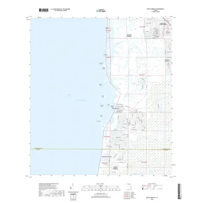
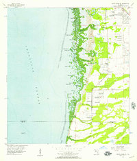 1956 Punta Gorda SE1957 Print · USGSCoastal Charlotte County appears here in the mid-fifties, showing a landscape defined by mangrove keys and the early infrastructure of the Florida Gulf Coast. Researchers can trace the Atlantic Coast Line rail route and locate local landmarks like Cockroach Mound, John Quiet Lakes, and South Punta Gorda Heights.5 unique versions available
 - 1956 Map of Tampa, 1964 Print
 1956 Tampa1964 Print · USGSThe Florida Gulf Coast thrived in the mid-fifties, from the bustling docks of Tampa to the quiet shores of Sanibel. Genealogists and historians can trace old rail lines like the Atlantic Coast Line or find early layouts of Port Charlotte and Bokeelia.2 unique versions available
 - 1956 Map of Charlotte Harbor, 1982 Print
 1956 Charlotte Harbor1982 Print · USGSCoastal Florida in the mid-fifties reveals the early growth of bayside communities and the preservation of vast wetland refuges. Genealogists and historians can trace rail lines like the Seaboard Air Line and find historic waterfront locales from Boca Grande to Punta Gorda.
 - 1957 Map of Punta Gorda, 1958 Print
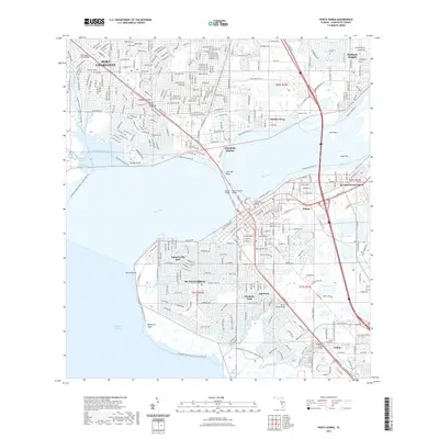
 1957 Punta Gorda1958 Print · USGSCoastal Charlotte County undergoes significant mid-century development where the Peace River meets the harbor. Researchers can trace the early layout of Port Charlotte and locate family landmarks like Indian Springs Cem and Charlotte High Sch.5 unique versions available
 - 1959 Map of Tampa
 1959 Tampa1959 Print · USGSThe Florida Gulf Coast appears in this late fifties survey during a period of steady coastal growth and established rail commerce. Researchers can trace historic neighborhoods and transit lines from Tampa to St Petersburg, or locate landmarks like Mac Dill AFB and Boca Grande.
 - 1960 Map of Tampa
 1960 Tampa1960 Print · USGSThe Florida Gulf Coast was undergoing a major transformation at the start of the sixties, with new bridges linking burgeoning cities across the bays. Researchers can trace the mid-century footprints of St Petersburg and Tampa, or locate coastal landmarks like Mac Dill AFB and the Sunshine Skyway.2 unique versions available
 - 1972 Map of Tampa, 1974 Print
 1972 Tampa1974 Print · USGSThe Florida Gulf Coast appears in a period of significant growth during the early seventies, from the urban centers of the bay to the quiet southern keys. Researchers can trace the expansion of St Petersburg or locate family sites near Safety Harbor, Valrico, and Boca Ciega.
 - 1981 Map of Charlotte Harbor, 1983 Print
 1981 Charlotte Harbor1983 Print · USGSCoastal Florida is captured in a period of significant growth during the early eighties, balancing new residential developments with vast protected preserves. Trace the expansion of Port Charlotte and Cape Coral alongside the Seaboard Coast Line and Cayo Costa State Preserve.
 - 2012 Map of Punta Gorda, 2012 Print
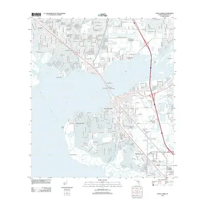 2012 Punta Gorda2012 Print · USGSCovers Punta Gorda, including Port Charlotte, Charlotte Harbor, and other nearby areas
 - 2012 Map of Punta Gorda SE, 2012 Print
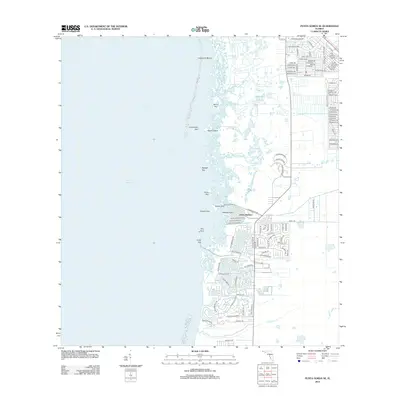 2012 Punta Gorda SE2012 Print · USGSCovers Punta Gorda, including Cape Coral, Burnt Store Marina, and other nearby areas
 - 2015 Map of Punta Gorda SE, 2015 Print
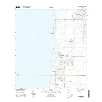 2015 Punta Gorda SE2015 Print · USGSCovers Punta Gorda, including Cape Coral, Burnt Store Marina, and other nearby areas
 - 2015 Map of Punta Gorda, 2015 Print
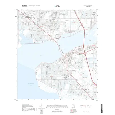
 2015 Punta Gorda2015 Print · USGSCovers Punta Gorda, including Port Charlotte, Charlotte Harbor, and other nearby areas
 - 2018 Map of Punta Gorda, 2018 Print
 2018 Punta Gorda2018 Print · USGSCovers Punta Gorda, including Port Charlotte, Charlotte Harbor, and other nearby areas
 - 2018 Map of Punta Gorda SE, 2018 Print
 2018 Punta Gorda SE2018 Print · USGSCovers Punta Gorda, including Cape Coral, Burnt Store Marina, and other nearby areas
 - 2021 Map of Punta Gorda, 2021 Print
 2021 Punta Gorda2021 Print · USGSCovers Punta Gorda, including Port Charlotte, Charlotte Harbor, and other nearby areas
 - 2021 Map of Punta Gorda SE, 2021 Print
 2021 Punta Gorda SE2021 Print · USGSCovers Punta Gorda, including Cape Coral, Burnt Store Marina, and other nearby areas
 - 2024 Map of Punta Gorda, 2024 Print
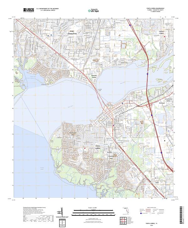 2024 Punta Gorda2024 Print · USGSThe Peace River and Charlotte Harbor define this coastal Florida region as it appears in the early 2020s. Genealogists and locals can trace the streets of Punta Gorda, locate Indian Spring Cemetery, and explore the waterfronts of Cleveland and Acline.
 - 2024 Map of Punta Gorda SE, 2024 Print
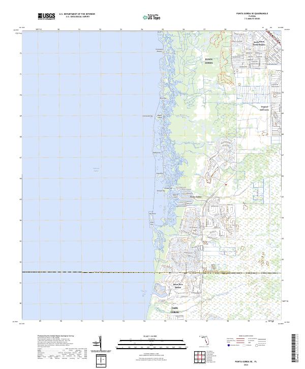 2024 Punta Gorda SE2024 Print · USGSThe Charlotte Harbor coastline comes alive in this modern survey of the region south of Punta Gorda. Trace the intersection of nature and development from the ancient Cockroach Mound to the modern docks at Burnt Store Marina and Pirate Harbor.
End of results
Showing maps 1-18 of 18
Top cities near Punta Gorda
- Cape Coral historical maps
- Fort Myers historical maps
- Port Charlotte historical maps
- North Port historical maps
- North Fort Myers historical maps
- Rotonda historical maps
See more
Top neighborhoods of Punta Gorda
Frequently asked questions
- What are the different types of historical maps available for Punta Gorda?
- What is the oldest map of Punta Gorda?
- Where can I purchase historical maps of Punta Gorda for my home or office?
- Where can I download high-res historical maps of Punta Gorda?
- Are there historical topographic maps available for Punta Gorda?
- Is there historical aerial imagery available for Punta Gorda?
- Where are historical maps of Punta Gorda sourced from?