Old Maps of Zephyrhills, Pasco County
Explore 18 old maps of Zephyrhills, spanning from 1947 to today. These high-resolution historic maps reveal how streets, neighborhoods, landmarks, and natural features evolved over time — perfect for genealogy, metal detecting, research, and local history exploration.
What you can do with these maps:
- See how Zephyrhills changed over time: Compare historical maps to modern-day views to trace roads, homesites, rail lines & more.
- View detailed metadata: Each map includes creators, publishers, year, scale, and archive source.
- Overlay maps with satellite & LiDAR: Visualize the past alongside modern tools to explore terrain & human change.
- Trusted historical sources: Maps sourced from the USGS, Library of Congress, and other archives.
- Access maps your way: View online, download high-res files, or order prints for personal or research use.
Start exploring old maps of Zephyrhills to uncover forgotten places, hidden landmarks, and the deep history beneath your feet.
Zephyrhills, Pasco County maps
(18)- 1947 Map of Zephyrhills
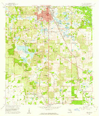
 1947 Zephyrhills1947 Print · USGSPasco County's landscape in the years following the war was a mix of military aviation, rail commerce, and riverfront parkland. Genealogists and local historians can trace the early grids of Zephyrhills, the Zephyrhills Army Air Base, and rural landmarks like the Crystal Springs School.2 unique versions available
 - 1955 Map of Plant City, 1966 Print
 1955 Plant City1966 Print · USGSMid-century Central Florida comes to life in this survey of the Nature Coast and the inland citrus and rail belt. Genealogists and historians can trace the paths of the Atlantic Coast Line, locate the Anclote Keys Lighthouse, or find old communities like Masaryktown and Lacoochee.6 unique versions available
 - 1958 Map of Plant City
 1958 Plant City1958 Print · USGSFlorida's Gulf Coast and inland ridge country are captured here in the mid-fifties, showing the region before modern sprawl. Genealogists and historians can trace rail-era towns like Richland and Trilby or locate coastal landmarks such as the Anclote Keys Lighthouse.
 - 1959 Map of Plant City
 1959 Plant City1959 Print · USGSThe West Florida coast and inland timberlands are captured here in the late fifties, from the bend of the Gulf to the rail hubs of the interior. Trace the paths of the Atlantic Coast Line through Inverness and find landmarks like the Anclote Keys Lighthouse.
 - 1960 Map of Dade City, 1962 Print
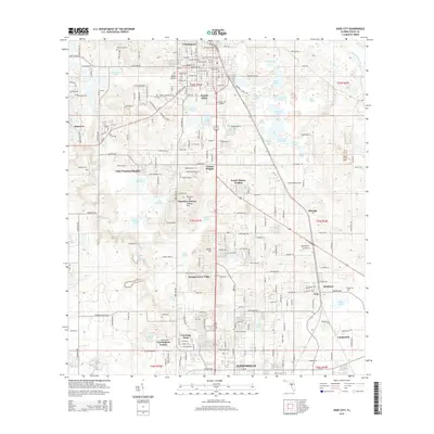
 1960 Dade City1962 Print · USGSPasco County's interior comes into focus during the early 1960s, showing the intersection of Florida's citrus economy and rail history. Trace the old lines of the Atlantic Coast Line to junctions at Vitis or find family history at Mount Zion Cemetery and Tommytown.4 unique versions available
 - 1964 Map of Plant City
 1964 Plant City1964 Print · USGSThe West Florida coast and its interior rail corridors come alive in this mid-sixties survey, spanning from the gulf marshes to the agricultural heartland. Researchers can trace the routes of the Atlantic Coast Line through settlements like Bushnell, Inverness, and Plant City.
 - 1975 Map of Zephyrhills, 1976 Print
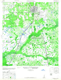
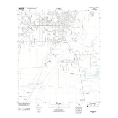
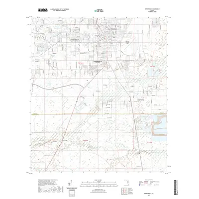
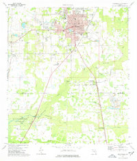 1975 Zephyrhills1976 Print · USGSMid-century growth in Pasco County is on full display here as the town of Zephyrhills expands amid its citrus groves and wetlands. Genealogists and local historians can trace the foundations of the community through landmarks like West Zephyrhills Sch, Geiger Cem, and the Seaboard Coast Line railroad.3 unique versions available
 - 1978 Map of Tarpon Springs, 1982 Print
 1978 Tarpon Springs1982 Print · USGSCoastal Florida is shown during its late-century period of rapid growth, from the Gulf shores to the deep inland swamps. Researchers can trace the development of the Intracoastal Waterway and locate regional landmarks like the Anclote Missile Tracking Annex and Lake Tarpon.
 - 2012 Map of Dade City, 2012 Print
 2012 Dade City2012 Print · USGSCovers Zephyrhills, including Dade City, Saint Leo, and other nearby areas
 - 2012 Map of Zephyrhills, 2012 Print
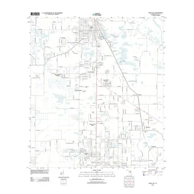
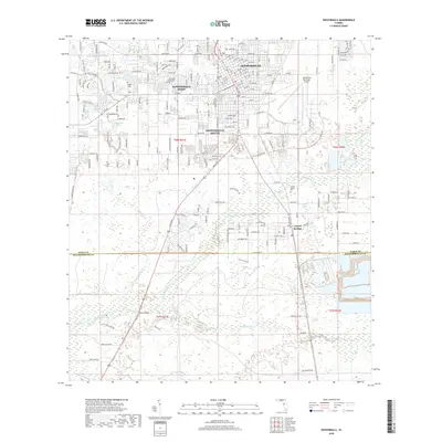
 2012 Zephyrhills2012 Print · USGSCovers Zephyrhills, including Crystal Springs Colony Farms, Crystal Springs, and other nearby areas
 - 2015 Map of Dade City, 2015 Print
 2015 Dade City2015 Print · USGSCovers Zephyrhills, including Dade City, Saint Leo, and other nearby areas
 - 2015 Map of Zephyrhills, 2015 Print
 2015 Zephyrhills2015 Print · USGSCovers Zephyrhills, including Crystal Springs Colony Farms, Crystal Springs, and other nearby areas
 - 2018 Map of Zephyrhills, 2018 Print
 2018 Zephyrhills2018 Print · USGSCovers Zephyrhills, including Crystal Springs Colony Farms, Crystal Springs, and other nearby areas
 - 2018 Map of Dade City, 2018 Print
 2018 Dade City2018 Print · USGSCovers Zephyrhills, including Dade City, Saint Leo, and other nearby areas
 - 2021 Map of Zephyrhills, 2021 Print
 2021 Zephyrhills2021 Print · USGSCovers Zephyrhills, including Crystal Springs Colony Farms, Crystal Springs, and other nearby areas
 - 2021 Map of Dade City, 2021 Print
 2021 Dade City2021 Print · USGSCovers Zephyrhills, including Dade City, Saint Leo, and other nearby areas
 - 2024 Map of Dade City, 2024 Print
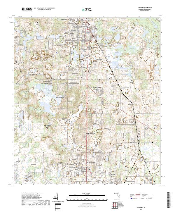 2024 Dade City2024 Print · USGSPasco County's lake country and the growing corridor between Dade City and Zephyrhills are documented in this recent survey. Local historians can trace family roots through several landmarks including Mount Zion Cemetery, St. Leo, and Ellerslie.
 - 2024 Map of Zephyrhills, 2024 Print
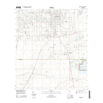
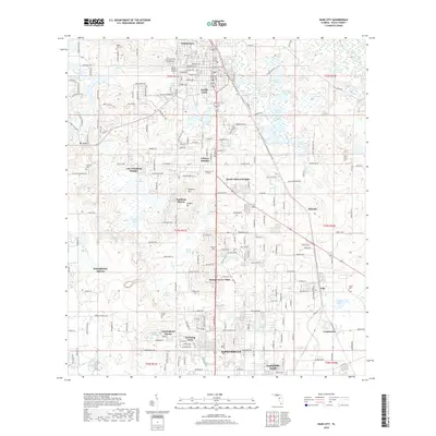
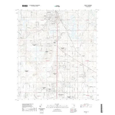
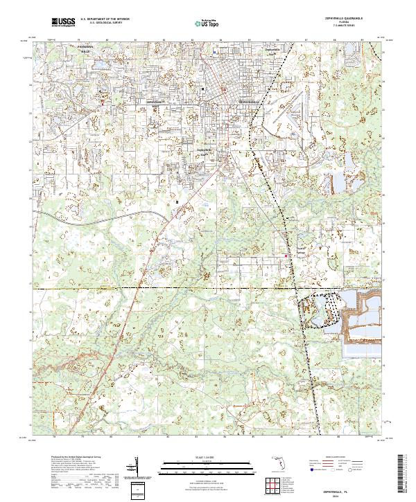 2024 Zephyrhills2024 Print · USGSSoutheastern Pasco County comes into focus in this contemporary survey, showing the rapid residential expansion surrounding the Hillsborough River. Genealogists and local historians can locate the Geiger Cem and Crystal Springs Cem amidst the growing neighborhoods of Zephyrhills.
End of results
Showing maps 1-18 of 18
Frequently asked questions
- What are the different types of historical maps available for Zephyrhills?
- What is the oldest map of Zephyrhills?
- Where can I purchase historical maps of Zephyrhills for my home or office?
- Where can I download high-res historical maps of Zephyrhills?
- Are there historical topographic maps available for Zephyrhills?
- Is there historical aerial imagery available for Zephyrhills?
- Where are historical maps of Zephyrhills sourced from?