Old Maps of Statesboro, Georgia
Explore 23 old maps of Statesboro, spanning from 1920 to today. These high-resolution historic maps reveal how streets, neighborhoods, landmarks, and natural features evolved over time — perfect for genealogy, metal detecting, research, and local history exploration.
What you can do with these maps:
- See how Statesboro changed over time: Compare historical maps to modern-day views to trace roads, homesites, rail lines & more.
- View detailed metadata: Each map includes creators, publishers, year, scale, and archive source.
- Overlay maps with satellite & LiDAR: Visualize the past alongside modern tools to explore terrain & human change.
- Trusted historical sources: Maps sourced from the USGS, Library of Congress, and other archives.
- Access maps your way: View online, download high-res files, or order prints for personal or research use.
Start exploring old maps of Statesboro to uncover forgotten places, hidden landmarks, and the deep history beneath your feet.
Statesboro, GA maps
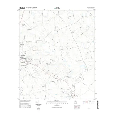
(23)- 1920 Map of Statesboro
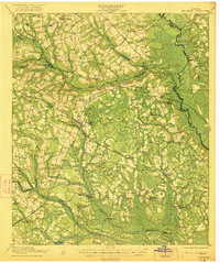
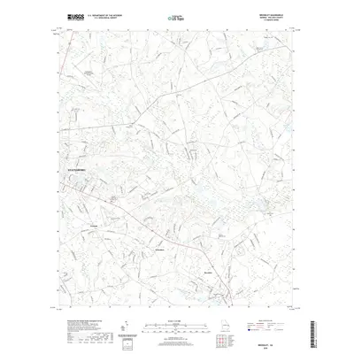
 1920 Statesboro1920 Print · USGSSoutheast Georgia was a bustling junction of regional railways just after the First World War. Researchers can trace family roots and land ownership across a network of rural schools like Smith Allen Deaf School, small settlements like Adabelle, and the prominent Central of Georgia Railway.4 unique versions available
 - 1921 Map of Brooklet
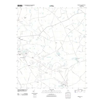
 1921 Brooklet1921 Print · USGSBulloch County's rural heartland is captured here during the 1920s, showing a landscape defined by small-town rail junctions and river fords. Genealogists can trace family footprints at vanished landmarks like Slabville School, Corinth Church, and Ebenezer Ford.2 unique versions available
 - 1943 Map of Brooklet
 1943 Brooklet1943 Print · USGSBulloch and Effingham Counties come alive in the early 1940s, showing a landscape of small farms and riverside landings. Genealogists can locate family landmarks like Knight Sch, Black Creek Ch, and the crossings along the Ogeechee River.
 - 1943 Map of Statesboro
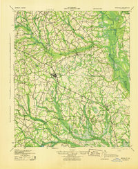
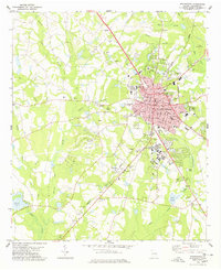
 1943 Statesboro1943 Print · USGSStatesboro and its rural Georgia surroundings appear in wartime detail, showing the busy Central of Georgia rail lines and early road networks. Genealogists can trace family connections to many local landmarks like Smith Allen Deal Sch and Langston Chapel.
 - 1947 Map of Savannah
 1947 Savannah1947 Print · USGSCoastal Georgia and South Carolina are captured here in the mid-forties, showing the rail-and-river networks of the Lowcountry. Genealogists and researchers can trace old crossroads and river towns from Statesboro to Beaufort, alongside military sites like Camp Stewart and Parris Island.
 - 1948 Map of Savannah
 1948 Savannah1948 Print · USGSThe Georgia and South Carolina Lowcountry comes alive in this post-war survey of the coast and its river-fed hinterlands. Genealogists and historians can trace rail lines like the Central of Georgia RR and find established settlements such as Isle of Hope and Sylvania.
 - 1957 Map of Savannah, 1967 Print
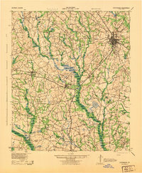
 1957 Savannah1967 Print · USGSThe Lowcountry and Georgia coastal plain are shown here in the late fifties, prior to modern expansion. Researchers can trace the rail-and-river economy through the Central of Georgia lines and the Ogeechee River wetlands.4 unique versions available
 - 1960 Map of Savannah
 1960 Savannah1960 Print · USGSCoastal Georgia and the South Carolina Lowcountry are captured in the late fifties, showcasing the intricate web of islands and tidal rivers before modern expansion. Researchers can trace the rail lines of the Atlantic Coast Line or locate sites like Parris Island, Beaufort, and the Tybee Lighthouse.
 - 1961 Map of Savannah
 1961 Savannah1961 Print · USGSThe Georgia and South Carolina Lowcountry comes alive in this mid-century survey of coastal marshes, barrier islands, and river networks. Genealogists and historians can trace the paths of the Seaboard Air Line RR, locate family sites near Isle of Hope, or study the grounds of Fort Stewart Military Reservation.2 unique versions available
 - 1978 Map of Brooklet
 1978 Brooklet1978 Print · USGSBulloch County during the late seventies shows the expansion of Statesboro and the rural character of Brooklet. Researchers can trace old family names and community centers through sites like Bethlehem Ch, Grimshaw, and the Old Railroad Grade.
 - 1978 Map of Statesboro
 1978 Statesboro1978 Print · USGSStatesboro and the surrounding Bulloch County countryside appear in the late seventies as a bustling educational and agricultural center. Local researchers can trace family landmarks like Rigdon Cem, the small community of Jimps, and the Central of Georgia rail line.
 - 1981 Map of Savannah, 1982 Print
 1981 Savannah1982 Print · USGSCoastal Georgia and the South Carolina borderlands are captured here in the early eighties, showing the region's complex network of riverine islands and military installations. Researchers can trace the rail lines of the Central of Georgia and explore sites like Fort Stewart Military Reservation and Garden City.
 - 1993 Map of Statesboro, 1998 Print
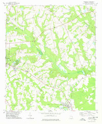
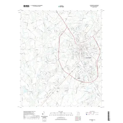
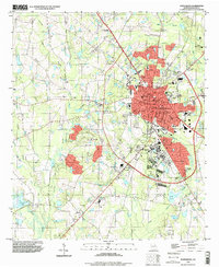 1993 Statesboro1998 Print · USGSStatesboro in the early nineties is a thriving center of education and commerce in Bulloch County. Trace the development of Georgia Southern College and find landmarks like Eastside Cem, Bird Pond, and the County Corr Inst.
 - 2011 Map of Brooklet, 2011 Print
 2011 Brooklet2011 Print · USGSCovers Statesboro, including Brooklet, Grimshaw, and other nearby areas
 - 2011 Map of Statesboro, 2011 Print
 2011 Statesboro2011 Print · USGSCovers Statesboro, including Horseshoe Bend, Saddlecreek, and other nearby areas
 - 2014 Map of Brooklet, 2014 Print
 2014 Brooklet2014 Print · USGSCovers Statesboro, including Brooklet, Grimshaw, and other nearby areas
 - 2014 Map of Statesboro, 2014 Print
 2014 Statesboro2014 Print · USGSCovers Statesboro, including Horseshoe Bend, Saddlecreek, and other nearby areas
 - 2017 Map of Brooklet, 2017 Print
 2017 Brooklet2017 Print · USGSCovers Statesboro, including Brooklet, Grimshaw, and other nearby areas
 - 2017 Map of Statesboro, 2017 Print
 2017 Statesboro2017 Print · USGSCovers Statesboro, including Horseshoe Bend, Saddlecreek, and other nearby areas
 - 2020 Map of Brooklet, 2020 Print
 2020 Brooklet2020 Print · USGSCovers Statesboro, including Brooklet, Grimshaw, and other nearby areas
 - 2020 Map of Statesboro, 2020 Print
 2020 Statesboro2020 Print · USGSCovers Statesboro, including Horseshoe Bend, Saddlecreek, and other nearby areas
 - 2024 Map of Brooklet, 2024 Print
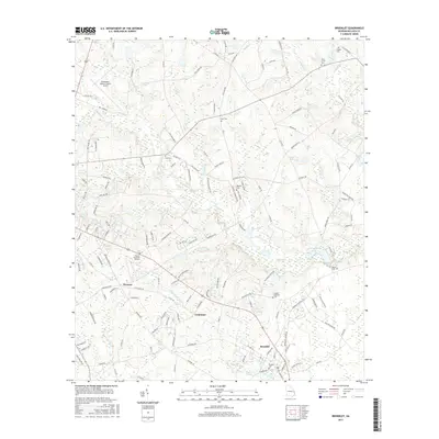
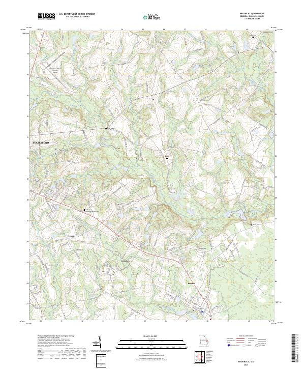 2024 Brooklet2024 Print · USGSSoutheast Georgia's rural character and transportation growth are detailed in this contemporary survey of Bulloch County. Genealogists and local historians can trace family roots at Leefield Cem or Bullock Memorial Gardens Cem, and locate landmarks like Grimshaw and the Elmer Baptist Church.
 - 2024 Map of Statesboro, 2024 Print
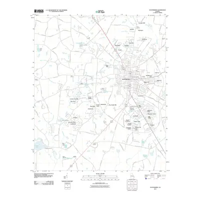
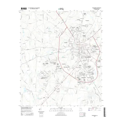
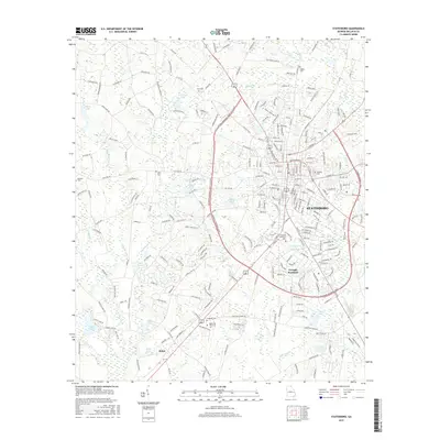
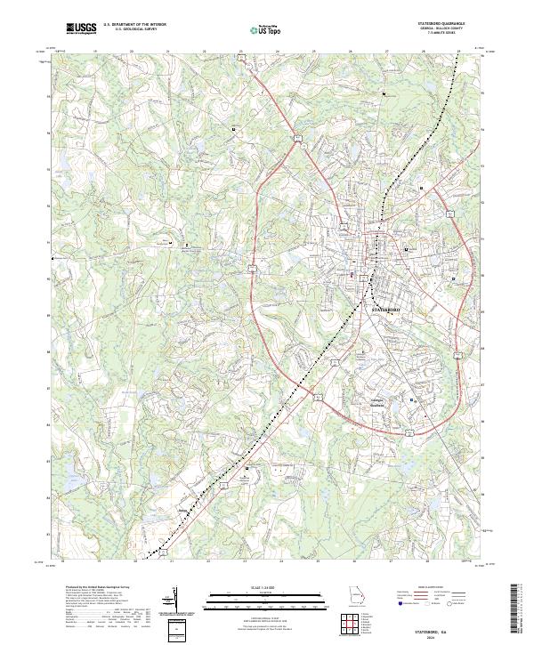 2024 Statesboro2024 Print · USGSStatesboro and the surrounding Bulloch County landscape are captured here in the early twenty-first century as a growing university center. Genealogists and local historians can trace family ties at Akins Family Cem, Rigdon Cem, and the Bethlehem Primitive Baptist Church Cem.
End of results
Showing maps 1-23 of 23
Top cities near Statesboro
- Brooklet historical maps
- Portal historical maps
- Pulaski historical maps
- Rocky Ford historical maps
- Register historical maps
Top neighborhoods of Statesboro
- Sherwood Forest historical maps
- Stadium Club historical maps
- Stadium Walk historical maps
- Eagle Court historical maps
- Foxlake historical maps
- Kingswood historical maps
See more
Frequently asked questions
- What are the different types of historical maps available for Statesboro?
- What is the oldest map of Statesboro?
- Where can I purchase historical maps of Statesboro for my home or office?
- Where can I download high-res historical maps of Statesboro?
- Are there historical topographic maps available for Statesboro?
- Is there historical aerial imagery available for Statesboro?
- Where are historical maps of Statesboro sourced from?