Old Maps of Johnson County, Georgia
Explore 77 old maps of Johnson County, spanning from 1957 to today. These high-resolution historic maps reveal how streets, neighborhoods, landmarks, and natural features evolved over time — perfect for genealogy, metal detecting, research, and local history exploration.
What you can do with these maps:
- See how Johnson County changed over time: Compare historical maps to modern-day views to trace roads, homesites, rail lines & more.
- View detailed metadata: Each map includes creators, publishers, year, scale, and archive source.
- Overlay maps with satellite & LiDAR: Visualize the past alongside modern tools to explore terrain & human change.
- Trusted historical sources: Maps sourced from the USGS, Library of Congress, and other archives.
- Access maps your way: View online, download high-res files, or order prints for personal or research use.
Start exploring old maps of Johnson County to uncover forgotten places, hidden landmarks, and the deep history beneath your feet.
Johnson County, GA maps
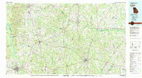
(77)- 1957 Map of Macon
 1957 Macon1957 Print · USGSMid-century Georgia comes into focus as the river-and-rail economy shifts toward a new era of aviation and highway travel. Trace family roots and vanished landmarks across the Ocmulgee River valley from Macon to the onion fields of Vidalia.
 - 1958 Map of Macon
 1958 Macon1958 Print · USGSMiddle Georgia during the late fifties shows the post-war expansion of Warner Robins alongside the deep-rooted rail hubs of the Central of Georgia line. Researchers can trace the river-bound boundaries of numerous counties and find local landmarks like Veterans Memorial Hospital and Robins AFB.
 - 1962 Map of Oconee, 1963 Print
 1962 Oconee1963 Print · USGSThe Oconee River valley in the early 1960s showcases a landscape shaped by river transport and the Central of Georgia railroad. Researchers can trace rural life through landmarks like Balls Ferry Bridge, Gardner, and the Wesley Chapel Cem.
 - 1962 Map of Irwins Crossroads, 1963 Print
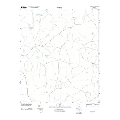
 1962 Irwins Crossroads1963 Print · USGSIn the early 1960s, the rural landscapes of Washington and Johnson counties were connected by river crossings and country churches. Genealogists can trace family roots through locations like Irwins Crossroads, Peacocks Crossing, and the Burnett Grove Cem.2 unique versions available
 - 1964 Map of Macon
 1964 Macon1964 Print · USGSCentral Georgia in the mid-sixties is defined by its major river valleys and a booming military presence. Genealogists and historians can trace the growth of Warner Robins near Robins AFB or locate smaller rural junctions like Allentown and Jeffersonville along the historic Southern railroad lines.2 unique versions available
 - 1971 Map of Dellwood, 1973 Print
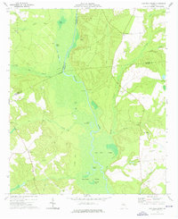
 1971 Dellwood1973 Print · USGSEmanuel and Johnson County rural life is captured here in the early seventies, showing a landscape shaped by creek systems and country chapels. Researchers can trace the path of the Old Railroad Grade or locate family sites near Moxley Cem and Oak Chapel.
 - 1973 Map of Davisboro SE, 1976 Print
 1973 Davisboro SE1976 Print · USGSEastern Georgia's rural landscape is documented here in the early 1970s, as small farming communities thrived along the Ohoopee River. Genealogists can locate family landmarks such as Whitfield Cem, New Home Ch, and the Talbot Grove Ch Cem nestled among the pines.2 unique versions available
 - 1973 Map of Harrison, 1976 Print
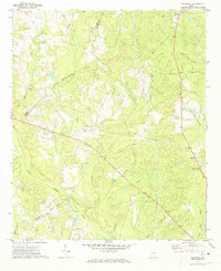
 1973 Harrison1976 Print · USGSThe rural border of Washington and Johnson counties is captured here in the 1970s, focused on the rail-line town of Harrison. Genealogists and local historians can trace family landmarks like Curry Cem, Pine Grove Ch, and the Donovan settlement.
 - 1973 Map of Wadley, 1976 Print
 1973 Wadley1976 Print · USGSJefferson and Johnson counties in the mid-1970s show a landscape of timbered swamp and rural rail towns. Researchers can trace the Central of Georgia railroad through Wadley or locate local landmarks like Blounts Chapel Ch and the Old Railroad Grade.2 unique versions available
 - 1974 Map of Cow Hell Swamp, 1976 Print
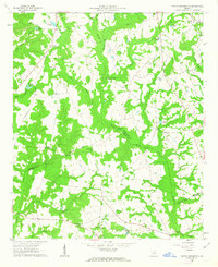
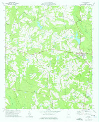
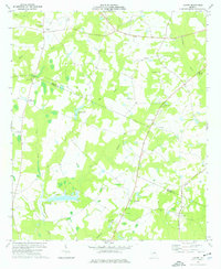
 1974 Cow Hell Swamp1976 Print · USGSThe Oconee River bottomlands in the mid-1970s reveal a landscape dominated by winding waterways and rural family enclaves. Genealogists and local historians can trace legacy landmarks like Stanley Cem, Halls Landing, and the curiously named Cow Hell Swamp.
 - 1974 Map of Kite, 1976 Print
 1974 Kite1976 Print · USGSKite and the surrounding eastern Georgia countryside are captured in the mid-1970s as a landscape of rural churches and family homesteads. Genealogists can trace roots at Gum Log Ch, Pilgrims Rest Ch, or cemeteries like Meeks Cem.
 - 1974 Map of Wrightsville, 1976 Print
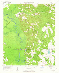
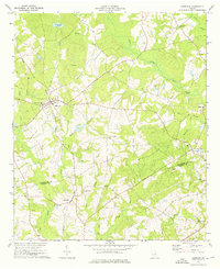
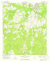
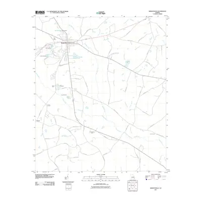
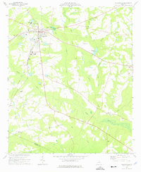 1974 Wrightsville1976 Print · USGSWrightsville and the surrounding Johnson County countryside appear here in the mid-1970s, organized around the Central of Georgia rail line. Researchers can locate numerous rural landmarks like West View Cem, Pine Hill Ch, and the Lookout Tower.
 - 1974 Map of Lovett, 1976 Print
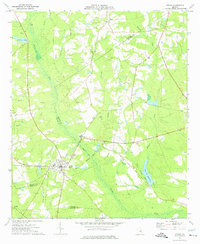
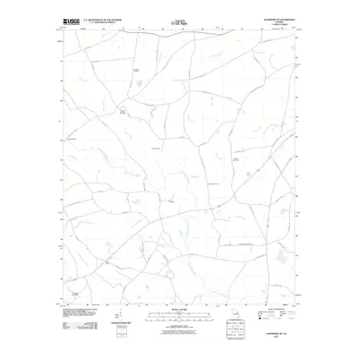
 1974 Lovett1976 Print · USGSJohnson County crossroads and rail-fed settlements define this rural Georgia landscape in the mid-seventies. Trace local genealogy through numerous landmarks like Buckeye Ch, Lovett, and the family-named Williams Cem.2 unique versions available
 - 1974 Map of Scott, 1976 Print
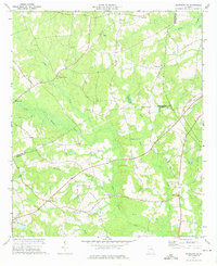
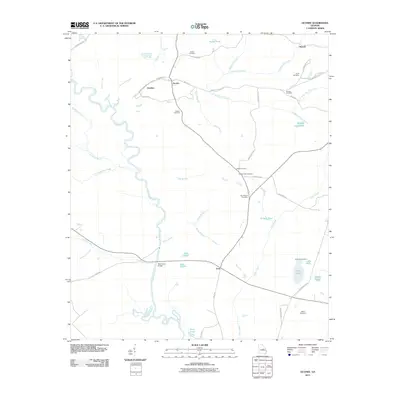
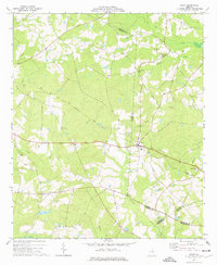 1974 Scott1976 Print · USGSLife in mid-1970s Laurens and Johnson Counties centered on the town of Scott and its network of rural congregations. Researchers can trace family history through numerous landmarks including Beasley Cem, St Pauls Ch, and the Old Railroad Grade.
 - 1974 Map of Adrian, 1976 Print
 1974 Adrian1976 Print · USGSAdrian and the surrounding pine-country creek bottoms are documented here in the mid-seventies, spanning three Georgia counties. Researchers can trace the legacy of local transport along the Old Railroad Grade and find family sites at Bethsaida Ch or Braswell Cem.
 - 1981 Map of Dublin
 1981 Dublin1981 Print · USGSEast Georgia in the early eighties shows a landscape defined by its river basins and a persistent rail network. Genealogists and historians can trace family roots through historic town centers like Sandersville, Swainsboro, and Louisville or follow the Old Railroad Grade.
 - 1988 Map of Macon, 1989 Print
 1988 Macon1989 Print · USGSCentral Georgia is captured during the late eighties, showing the expansive river systems and growing urban hubs of the regional interior. Genealogists and historians can trace the paths of the Central of Georgia Railroad and locate communities like Warner Robbins, Dublin, and Sandersville.
 - 2011 Map of Irwins Crossroads, 2011 Print
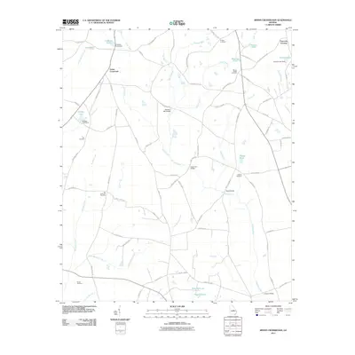 2011 Irwins Crossroads2011 Print · USGSCovers Johnson County, including Peacocks Crossing, Irwins Crossroads, and other nearby areas
 - 2011 Map of Cow Hell Swamp, 2011 Print
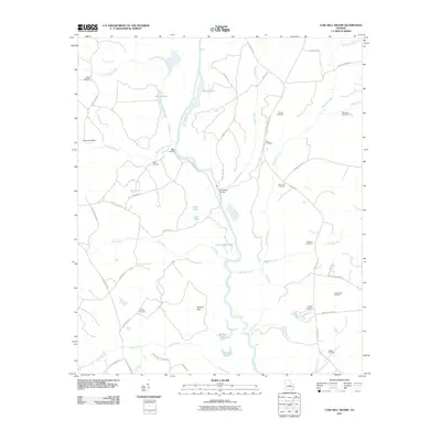 2011 Cow Hell Swamp2011 Print · USGSCovers Johnson County, including Laurens County, Wilkinson County, and other nearby areas
 - 2011 Map of Scott, 2011 Print
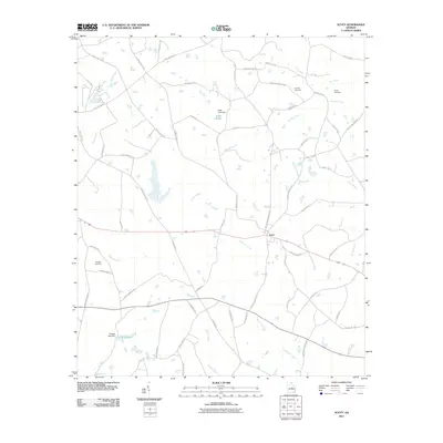 2011 Scott2011 Print · USGSCovers Johnson County, including Scott, Laurens County, and other nearby areas
 - 2011 Map of Wrightsville, 2011 Print
 2011 Wrightsville2011 Print · USGSCovers Johnson County, including Wrightsville, Spann, and other nearby areas
 - 2011 Map of Davisboro SE, 2011 Print
 2011 Davisboro SE2011 Print · USGSCovers Johnson County, including Washington County, Jefferson County, and other nearby areas
 - 2011 Map of Kite, 2011 Print
 2011 Kite2011 Print · USGSCovers Johnson County, including Kite, Emanuel County, and other nearby areas
 - 2011 Map of Oconee, 2011 Print
 2011 Oconee2011 Print · USGSCovers Johnson County, including Oconee, Gardner, and other nearby areas
 - 2011 Map of Harrison, 2011 Print
 2011 Harrison2011 Print · USGSCovers Johnson County, including Harrison, Donovan, and other nearby areas
Showing maps 1-25 of 77
Top cities of Johnson County
Frequently asked questions
- What are the different types of historical maps available for Johnson County?
- What is the oldest map of Johnson County?
- Where can I purchase historical maps of Johnson County for my home or office?
- Where can I download high-res historical maps of Johnson County?
- Are there historical topographic maps available for Johnson County?
- Is there historical aerial imagery available for Johnson County?
- Where are historical maps of Johnson County sourced from?