Old Maps of Deenwood, Georgia
Explore 28 old maps of Deenwood, spanning from 1953 to today. These high-resolution historic maps reveal how streets, neighborhoods, landmarks, and natural features evolved over time — perfect for genealogy, metal detecting, research, and local history exploration.
What you can do with these maps:
- See how Deenwood changed over time: Compare historical maps to modern-day views to trace roads, homesites, rail lines & more.
- View detailed metadata: Each map includes creators, publishers, year, scale, and archive source.
- Overlay maps with satellite & LiDAR: Visualize the past alongside modern tools to explore terrain & human change.
- Trusted historical sources: Maps sourced from the USGS, Library of Congress, and other archives.
- Access maps your way: View online, download high-res files, or order prints for personal or research use.
Start exploring old maps of Deenwood to uncover forgotten places, hidden landmarks, and the deep history beneath your feet.
Deenwood, GA maps
(28)- 1953 Map of Waycross, 1967 Print
 1953 Waycross1967 Print · USGSSouth Georgia's agricultural and rail heartland is captured here in the mid-1950s, showing a vast network of timber and farming towns. Researchers can trace the rail lines connecting Waycross and Tifton or locate landmarks like Jefferson Davis State Park and Lake Blackshear.2 unique versions available
 - 1958 Map of Waycross
 1958 Waycross1958 Print · USGSSoutheast Georgia in the late fifties remains a landscape of deep river basins and vital rail junctions. Genealogists and historians can trace family-named landmarks and rural hubs like Union Church, South Georgia College, and the sprawling Okefenokee Swamp.2 unique versions available
 - 1967 Map of Waycross West, 1969 Print
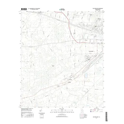
 1967 Waycross West1969 Print · USGSWestern Ware County in the late sixties shows the expansion of Waycross toward the wetlands of Cloughs Bay. Researchers can trace rural church history at Old Ruskin Ch or locate old rail stops like Eightmile Post and Wahoma.2 unique versions available
 - 1967 Map of Waycross East, 1969 Print
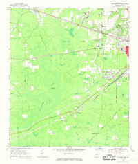
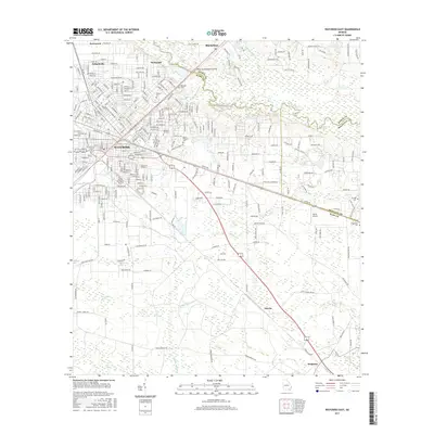
 1967 Waycross East1969 Print · USGSWaycross during the late sixties was a thriving railway and educational center at the edge of the Georgia wetlands. Genealogists and historians can trace neighborhood growth through dozens of named schools and cemeteries like Hazzard Hill Cem and Oakland Cemetery.
 - 1971 Map of Dixie Union, 1974 Print
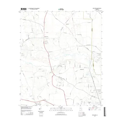
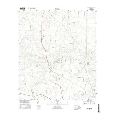
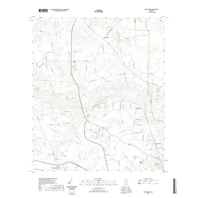
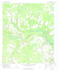 1971 Dixie Union1974 Print · USGSWare County in the early seventies is defined by the winding Satilla River and the rural communities of Dixie Union and Waresboro. Genealogists and local historians can trace old family sites near Jordan Ch or locate the era's local Drive-in Theater.2 unique versions available
 - 1971 Map of Blackshear West, 1974 Print
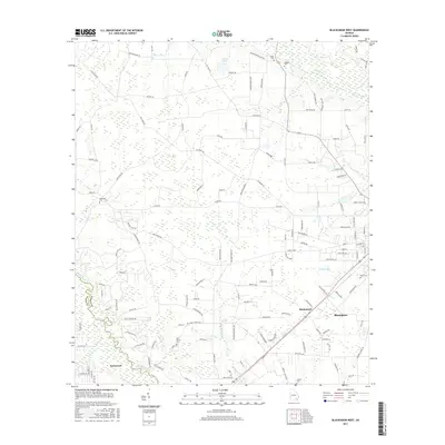
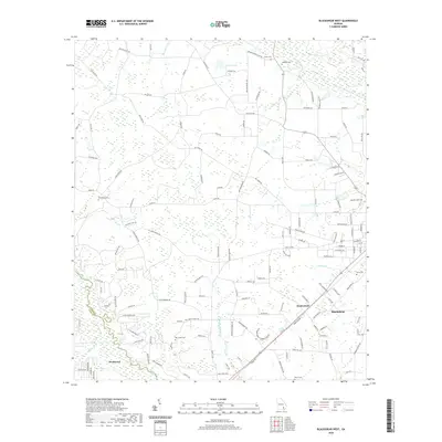
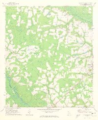 1971 Blackshear West1974 Print · USGSPierce County in the early seventies reveals a landscape of river-bottom lowlands and rural community hubs. Researchers can locate family landmarks like Sweat Cem and Nunn Cem or trace the Seaboard Coast Line through Homestead.2 unique versions available
 - 1978 Map of Waycross, 1982 Print
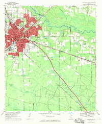
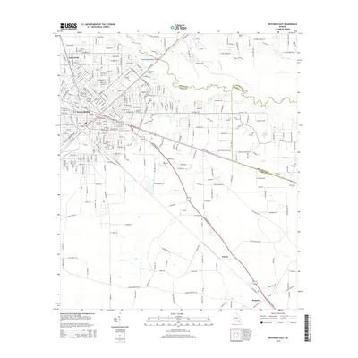
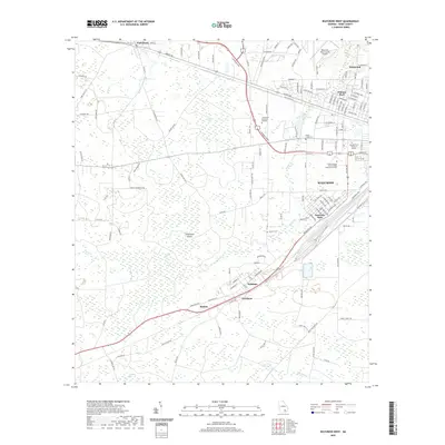
 1978 Waycross1982 Print · USGSSoutheast Georgia in the late seventies is a landscape of vast wetlands and busy rail junctions. Genealogists and local historians can trace the Seaboard Coast Line through rural stops like Millwood and Pearson or locate family sites near the Okefenokee Swamp.
 - 1988 Map of Waycross
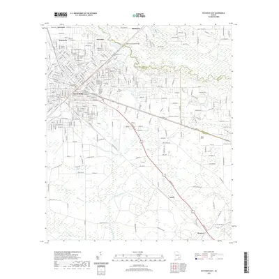
 1988 Waycross1988 Print · USGSSouth Georgia's wiregrass and timber country is documented here in the late eighties, centered on the vital rail junction of Waycross. Genealogists and historians can trace the rural landscape from Okefenokee up to the Ocmulgee, finding sites like Lumber City and Jefferson Davis Memorial State Park.
 - 2011 Map of Dixie Union, 2011 Print
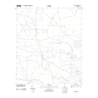 2011 Dixie Union2011 Print · USGSCovers Deenwood, including Dixie Union, Waltertown, and other nearby areas
 - 2011 Map of Waycross East, 2011 Print
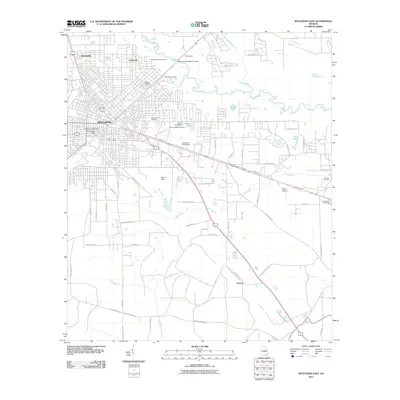 2011 Waycross East2011 Print · USGSCovers Deenwood, including Waycross, Blackshear, and other nearby areas
 - 2011 Map of Waycross West, 2011 Print
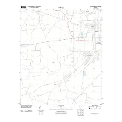 2011 Waycross West2011 Print · USGSCovers Deenwood, including Waycross, Winona Park, and other nearby areas
 - 2011 Map of Blackshear West, 2011 Print
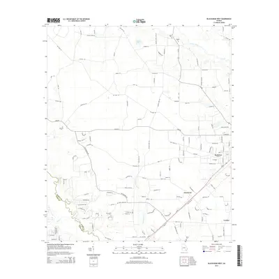
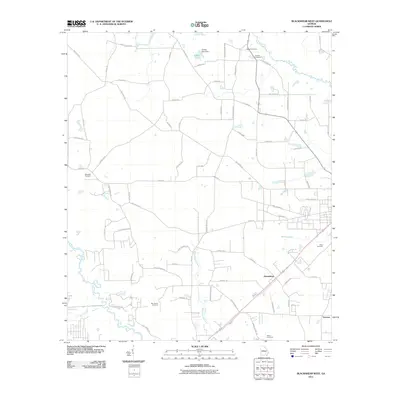 2011 Blackshear West2011 Print · USGSCovers Deenwood, including Blackshear, Homestead, and other nearby areas
 - 2014 Map of Waycross West, 2014 Print
 2014 Waycross West2014 Print · USGSCovers Deenwood, including Waycross, Winona Park, and other nearby areas
 - 2014 Map of Blackshear West, 2014 Print
 2014 Blackshear West2014 Print · USGSCovers Deenwood, including Blackshear, Homestead, and other nearby areas
 - 2014 Map of Dixie Union, 2014 Print
 2014 Dixie Union2014 Print · USGSCovers Deenwood, including Dixie Union, Waltertown, and other nearby areas
 - 2014 Map of Waycross East, 2014 Print
 2014 Waycross East2014 Print · USGSCovers Deenwood, including Waycross, Blackshear, and other nearby areas
 - 2017 Map of Blackshear West, 2017 Print
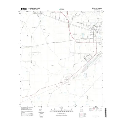
 2017 Blackshear West2017 Print · USGSCovers Deenwood, including Blackshear, Homestead, and other nearby areas
 - 2017 Map of Dixie Union, 2017 Print
 2017 Dixie Union2017 Print · USGSCovers Deenwood, including Dixie Union, Waltertown, and other nearby areas
 - 2017 Map of Waycross East, 2017 Print
 2017 Waycross East2017 Print · USGSCovers Deenwood, including Waycross, Blackshear, and other nearby areas
 - 2017 Map of Waycross West, 2017 Print
 2017 Waycross West2017 Print · USGSCovers Deenwood, including Waycross, Winona Park, and other nearby areas
 - 2020 Map of Waycross West, 2020 Print
 2020 Waycross West2020 Print · USGSCovers Deenwood, including Waycross, Winona Park, and other nearby areas
 - 2020 Map of Blackshear West, 2020 Print
 2020 Blackshear West2020 Print · USGSCovers Deenwood, including Blackshear, Homestead, and other nearby areas
 - 2020 Map of Waycross East, 2020 Print
 2020 Waycross East2020 Print · USGSCovers Deenwood, including Waycross, Blackshear, and other nearby areas
 - 2020 Map of Dixie Union, 2020 Print
 2020 Dixie Union2020 Print · USGSCovers Deenwood, including Dixie Union, Waltertown, and other nearby areas
 - 2024 Map of Blackshear West, 2024 Print
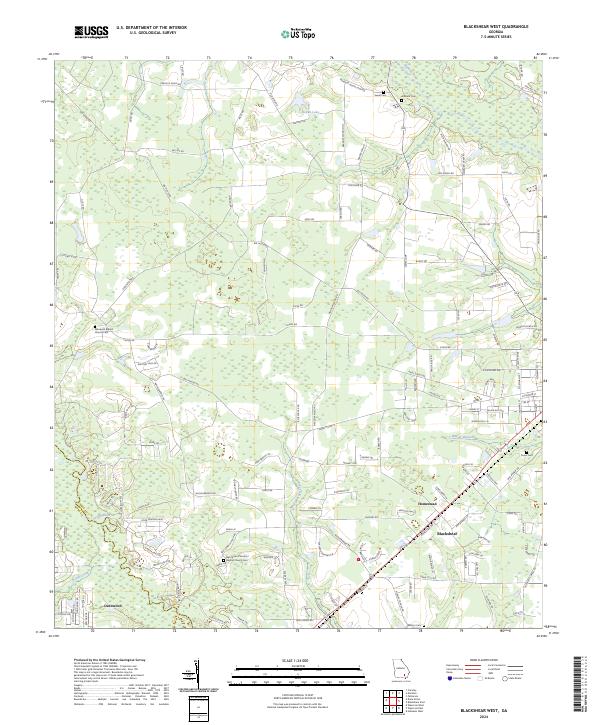 2024 Blackshear West2024 Print · USGSSoutheastern Georgia near the Satilla River is documented in this contemporary survey of Pierce and Ware counties. Genealogists can trace family landmarks and burial sites such as Ben James Primitive Baptist Church Cem and Nunn Cem near Blackshear.
Showing maps 1-25 of 28
Top cities near Deenwood
Top neighborhoods of Deenwood
Frequently asked questions
- What are the different types of historical maps available for Deenwood?
- What is the oldest map of Deenwood?
- Where can I purchase historical maps of Deenwood for my home or office?
- Where can I download high-res historical maps of Deenwood?
- Are there historical topographic maps available for Deenwood?
- Is there historical aerial imagery available for Deenwood?
- Where are historical maps of Deenwood sourced from?