Old Maps of Claypool, Indiana
Explore 16 old maps of Claypool, spanning from 1953 to today. These high-resolution historic maps reveal how streets, neighborhoods, landmarks, and natural features evolved over time — perfect for genealogy, metal detecting, research, and local history exploration.
What you can do with these maps:
- See how Claypool changed over time: Compare historical maps to modern-day views to trace roads, homesites, rail lines & more.
- View detailed metadata: Each map includes creators, publishers, year, scale, and archive source.
- Overlay maps with satellite & LiDAR: Visualize the past alongside modern tools to explore terrain & human change.
- Trusted historical sources: Maps sourced from the USGS, Library of Congress, and other archives.
- Access maps your way: View online, download high-res files, or order prints for personal or research use.
Start exploring old maps of Claypool to uncover forgotten places, hidden landmarks, and the deep history beneath your feet.
Claypool, IN maps
(16)- 1953 Map of Fort Wayne, 1963 Print
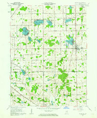
 1953 Fort Wayne1963 Print · USGSNortheast Indiana and its neighboring borderlands in Michigan and Ohio appear here during a peak era of rail and road expansion. Researchers can trace the massive rail networks of the Nickel Plate Road and Wabash or locate lakeside landmarks like Lake Wawasee and Clear Lake.4 unique versions available
 - 1956 Map of Fort Wayne
 1956 Fort Wayne1956 Print · USGSThe tri-state borderlands of Indiana, Michigan, and Ohio are captured here in the mid-fifties, centered on the growing industrial hub of Fort Wayne. Researchers can trace the heavy rail lines of the New York Central and Pennsylvania alongside prominent water features like Lake Wawasee and the Maumee River.2 unique versions available
 - 1961 Map of Silver Lake, 1963 Print
 1961 Silver Lake1963 Print · USGSThe lake country of Kosciusko County comes into focus in the early sixties, showing the intersection of rural agriculture and rail-side industry. Genealogists can trace family roots through sites like Graceland Cem, Silver Creek Ch, and the small settlement of Disko.2 unique versions available
 - 1961 Map of Burket, 1963 Print
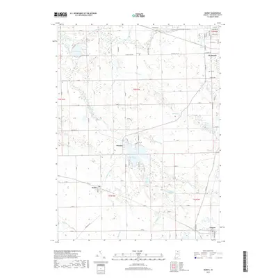
 1961 Burket1963 Print · USGSKosciusko County’s agricultural and rail landscape is captured here in the early sixties as the Tippecanoe River winds through the northern townships. Researchers can trace the footprints of Palestine and Burket, locating family landmarks like Cooks Chapel, Township Sch, and Nye Cem.3 unique versions available
 - 1984 Map of Fort Wayne, 1985 Print
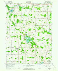
 1984 Fort Wayne1985 Print · USGSNortheast Indiana in the mid-1980s reveals a complex landscape of glacial lakes, thriving college towns, and heavy rail infrastructure. Researchers can trace the development of Winona Lake, locate Manchester College in North Manchester, and find rural landmarks like Oakwood Cem or the Tri-County State Fish and Game Area.
 - 1994 Map of Fort Wayne
 1994 Fort Wayne1994 Print · USGSNortheast Indiana in the mid-nineties shows a landscape deeply tied to its glacial lakes and early rail networks. Genealogists and historians can trace old transit lines like the Old Ind RR and explore lakeside settlements such as Enchanted Hills and Syracuse.
 - 2010 Map of Burket, 2010 Print
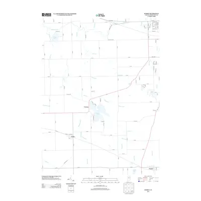
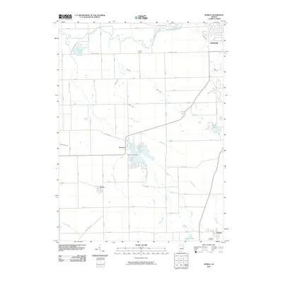 2010 Burket2010 Print · USGSCovers Claypool, including Warsaw, Burket, and other nearby areas
 - 2010 Map of Silver Lake, 2010 Print
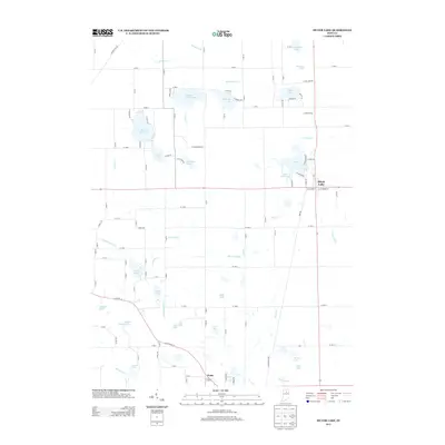
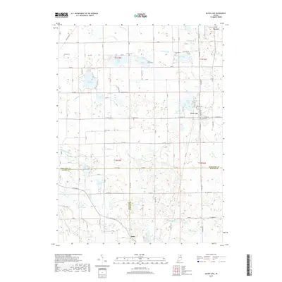
 2010 Silver Lake2010 Print · USGSCovers Claypool, including Silver Lake, Disko, and other nearby areas
 - 2013 Map of Burket, 2013 Print
 2013 Burket2013 Print · USGSCovers Claypool, including Warsaw, Burket, and other nearby areas
 - 2013 Map of Silver Lake, 2013 Print
 2013 Silver Lake2013 Print · USGSCovers Claypool, including Silver Lake, Disko, and other nearby areas
 - 2016 Map of Burket, 2016 Print
 2016 Burket2016 Print · USGSCovers Claypool, including Warsaw, Burket, and other nearby areas
 - 2016 Map of Silver Lake, 2016 Print
 2016 Silver Lake2016 Print · USGSCovers Claypool, including Silver Lake, Disko, and other nearby areas
 - 2019 Map of Burket, 2019 Print
 2019 Burket2019 Print · USGSCovers Claypool, including Warsaw, Burket, and other nearby areas
 - 2019 Map of Silver Lake, 2019 Print
 2019 Silver Lake2019 Print · USGSCovers Claypool, including Silver Lake, Disko, and other nearby areas
 - 2022 Map of Silver Lake, 2022 Print
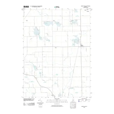
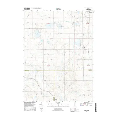
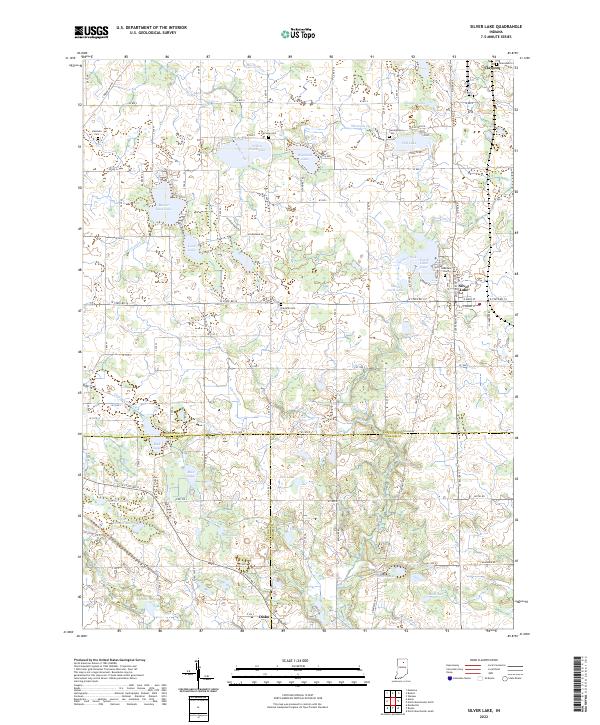 2022 Silver Lake2022 Print · USGSSilver Lake and Claypool anchor this detailed survey of the lake-dotted borderlands between Kosciusko, Fulton, and Wabash counties. Researchers can locate family burial sites at Lakeview Cem and Hamman Cem or trace the drainage of Beaver Dam Lake and Yellow Creek Lake.
 - 2022 Map of Burket, 2022 Print
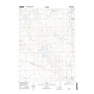
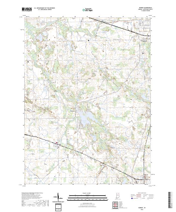 2022 Burket2022 Print · USGSIn the heart of Kosciusko County during the early 2020s, this area maintains its classic Indiana character of small lakefront villages and agricultural drainage. Researchers can trace family history at Union Cem or explore the water-bound landscapes of Palestine Lake and Burket.
End of results
Showing maps 1-16 of 16
Top cities near Claypool
- Warsaw historical maps
- North Manchester historical maps
- Winona Lake historical maps
- Bourbon historical maps
- North Webster historical maps
- Akron historical maps
See more
Frequently asked questions
- What are the different types of historical maps available for Claypool?
- What is the oldest map of Claypool?
- Where can I purchase historical maps of Claypool for my home or office?
- Where can I download high-res historical maps of Claypool?
- Are there historical topographic maps available for Claypool?
- Is there historical aerial imagery available for Claypool?
- Where are historical maps of Claypool sourced from?