Old Maps of Cedar Lake, Indiana
Explore 20 old maps of Cedar Lake, spanning from 1953 to today. These high-resolution historic maps reveal how streets, neighborhoods, landmarks, and natural features evolved over time — perfect for genealogy, metal detecting, research, and local history exploration.
What you can do with these maps:
- See how Cedar Lake changed over time: Compare historical maps to modern-day views to trace roads, homesites, rail lines & more.
- View detailed metadata: Each map includes creators, publishers, year, scale, and archive source.
- Overlay maps with satellite & LiDAR: Visualize the past alongside modern tools to explore terrain & human change.
- Trusted historical sources: Maps sourced from the USGS, Library of Congress, and other archives.
- Access maps your way: View online, download high-res files, or order prints for personal or research use.
Start exploring old maps of Cedar Lake to uncover forgotten places, hidden landmarks, and the deep history beneath your feet.
Cedar Lake, IN maps
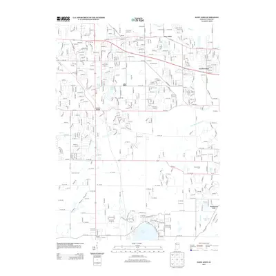
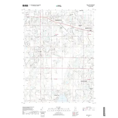
(20)- 1953 Map of St. John, 1955 Print
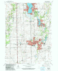
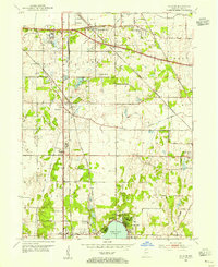 1953 St. John1955 Print · USGSNorthwest Indiana during the early fifties reveals a landscape where historic rail lines and the Lincoln Highway meet growing lakeside communities. Genealogists and local historians can trace family-named sites like Dutton Cem and Hack Cem, or locate mid-century landmarks such as the Illiana Race Track.
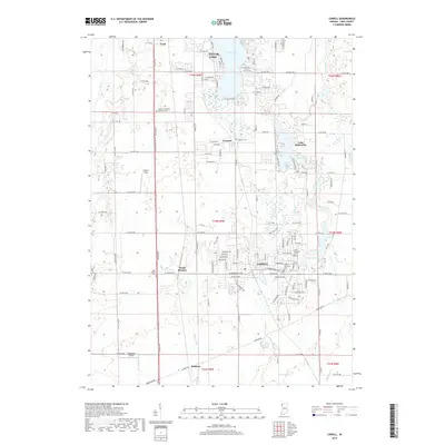
 - 1953 Map of Lowell, 1955 Print
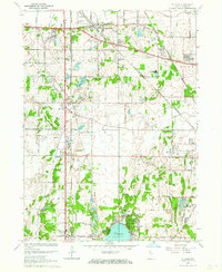
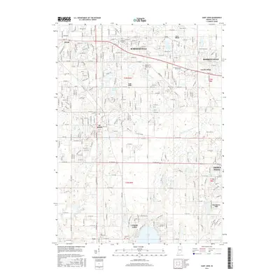
 1953 Lowell1955 Print · USGSSouthern Lake County in the early 1950s is defined by its evolving rail corridors and lakeside settlements. Genealogists can trace rural family life through locations like Sheridan School, St Edwards Cemetery, and the rail stops at North Hayden or Creston.
 - 1953 Map of Chicago, 1964 Print
 1953 Chicago1964 Print · USGSThe southern Lake Michigan shoreline was rapidly modernizing in the mid-fifties, balancing heavy industry with its famous academic centers. Researchers can trace the footprints of Notre Dame University or locate vanished sites like the Kingsbury Ordnance Plant and Meigs Field.5 unique versions available
 - 1957 Map of Chicago
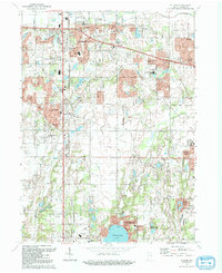
 1957 Chicago1957 Print · USGSThe industrial heartland and southern Great Lakes shoreline are captured here during the peak of mid-century growth. Researchers can trace the massive Gary Steel Works, the grounds of the University of Notre Dame, and the early paths of the Tri-State Tollway.
 - 1962 Map of Lowell, 1964 Print
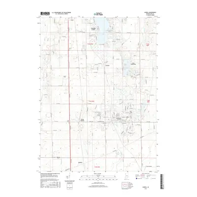
 1962 Lowell1964 Print · USGSLake County at the start of the sixties reveals a landscape shaped by agricultural townships and growing lakeside communities. Genealogists and historians can trace family roots at St Edwards School, German Cemetery, and across the transit corridor of the Monon Railroad.2 unique versions available
 - 1962 Map of St. John, 1964 Print
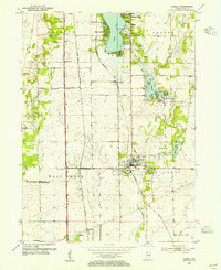
 1962 St. John1964 Print · USGSLake County, Indiana, is captured here in the early 1960s as suburban subdivisions began to fill the spaces between historic rail corridors and township lines. Researchers can trace local landmarks like Hoosier Boys Town, St Johns Seminary, and the Erie Lackawanna railroad.2 unique versions available
 - 1984 Map of Kankakee, 1985 Print
 1984 Kankakee1985 Print · USGSThe Illinois-Indiana borderlands appear here in the early eighties as a landscape of river-centered towns and vast managed wetlands. Genealogists and local historians can trace the grounds of the Kankakee State Hospital, the campus of Olivet Nazarene College, and the sprawling Beaver Lake Wildlife Refuge.
 - 1991 Map of Kankakee
 1991 Kankakee1991 Print · USGSThe Illinois-Indiana borderlands come into focus during the early nineties, centered on the growing Kankakee valley and its sprawling drainage systems. Trace the rail-and-river economy through landmarks like the Wilton Railroad Grade, the Manteno State Hospital, and the historic Old Pioneer Cem.
 - 1992 Map of Lowell
 1992 Lowell1992 Print · USGSSouthern Lake County is captured here in the early nineties, showing a landscape of growing lakeside communities and deep-rooted farmsteads. Genealogists can trace family landmarks and local institutions, including St Edwards Cem, the settlement of North Hayden, and the sprawling Buckley Homestead County Park.
 - 1992 Map of St. John
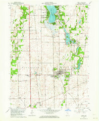
 1992 St. John1992 Print · USGSIn the early nineties, northwestern Indiana's suburban landscape was rapidly maturing between Schererville and Cedar Lake. Researchers can trace local school history at Hyles-Anderson College or locate family plots at Pleasant View Cem and Memory Lane Memorial Cem.
 - 2010 Map of Lowell, 2010 Print
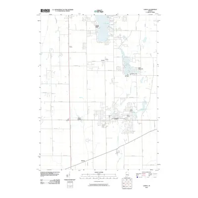 2010 Lowell2010 Print · USGSCovers Cedar Lake, including Lowell, West Creek Township, and other nearby areas
 - 2010 Map of Saint John, 2010 Print
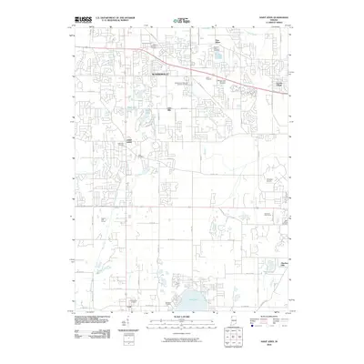 2010 Saint John2010 Print · USGSCovers Cedar Lake, including Merrillville, Schererville, and other nearby areas
 - 2013 Map of Saint John, 2013 Print
 2013 Saint John2013 Print · USGSCovers Cedar Lake, including Merrillville, Schererville, and other nearby areas
 - 2013 Map of Lowell, 2013 Print
 2013 Lowell2013 Print · USGSCovers Cedar Lake, including Lowell, West Creek Township, and other nearby areas
 - 2016 Map of Saint John, 2016 Print
 2016 Saint John2016 Print · USGSCovers Cedar Lake, including Merrillville, Schererville, and other nearby areas
 - 2016 Map of Lowell, 2016 Print
 2016 Lowell2016 Print · USGSCovers Cedar Lake, including Lowell, West Creek Township, and other nearby areas
 - 2019 Map of Saint John, 2019 Print
 2019 Saint John2019 Print · USGSCovers Cedar Lake, including Merrillville, Schererville, and other nearby areas
 - 2019 Map of Lowell, 2019 Print
 2019 Lowell2019 Print · USGSCovers Cedar Lake, including Lowell, West Creek Township, and other nearby areas
 - 2022 Map of Saint John, 2022 Print
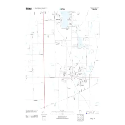
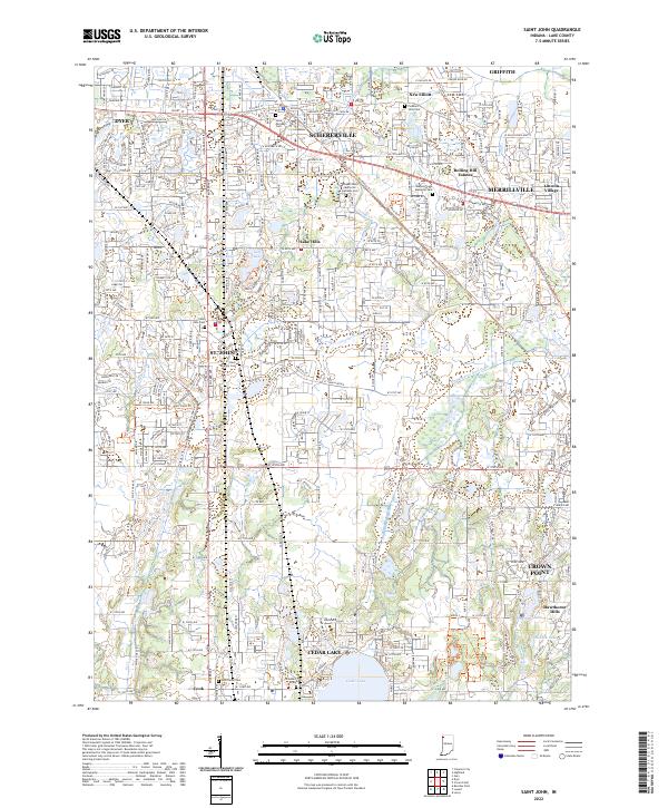 2022 Saint John2022 Print · USGSLake County suburban growth meets historic corridors in the modern era between St. John and Crown Point. Genealogists and local historians can trace legacy sites like the Hack Family Cem and follow the route of the Old Lincoln Hwy.
 - 2022 Map of Lowell, 2022 Print
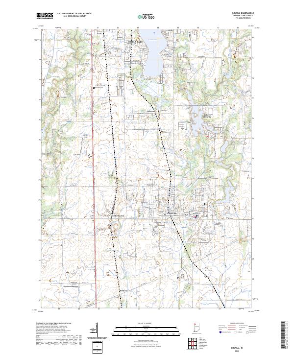 2022 Lowell2022 Print · USGSSouthern Lake County at the start of the 2020s shows a landscape of established towns and growing lakefront communities. Genealogists and local historians can trace family plots at German Methodist Episcopal Cem or Lowell Memorial Cem and locate landmarks like Wietbrock Airport.
End of results
Showing maps 1-20 of 20
Top cities near Cedar Lake
- Hammond historical maps
- Gary historical maps
- Portage historical maps
- Calumet City historical maps
- Merrillville historical maps
- Lansing historical maps
See more
Top neighborhoods of Cedar Lake
Frequently asked questions
- What are the different types of historical maps available for Cedar Lake?
- What is the oldest map of Cedar Lake?
- Where can I purchase historical maps of Cedar Lake for my home or office?
- Where can I download high-res historical maps of Cedar Lake?
- Are there historical topographic maps available for Cedar Lake?
- Is there historical aerial imagery available for Cedar Lake?
- Where are historical maps of Cedar Lake sourced from?