Old Maps of Rushville, Indiana
Explore 15 old maps of Rushville, spanning from 1953 to today. These high-resolution historic maps reveal how streets, neighborhoods, landmarks, and natural features evolved over time — perfect for genealogy, metal detecting, research, and local history exploration.
What you can do with these maps:
- See how Rushville changed over time: Compare historical maps to modern-day views to trace roads, homesites, rail lines & more.
- View detailed metadata: Each map includes creators, publishers, year, scale, and archive source.
- Overlay maps with satellite & LiDAR: Visualize the past alongside modern tools to explore terrain & human change.
- Trusted historical sources: Maps sourced from the USGS, Library of Congress, and other archives.
- Access maps your way: View online, download high-res files, or order prints for personal or research use.
Start exploring old maps of Rushville to uncover forgotten places, hidden landmarks, and the deep history beneath your feet.
Rushville, IN maps
(15)- 1953 Map of Cincinnati, 1965 Print
 1953 Cincinnati1965 Print · USGSThe Ohio River valley and the industrial heartland of Indiana and Ohio are captured here during the mid-century peak of rail and river commerce. Genealogists and historians can trace connections between Cincinnati and outlying military sites like Camp Atterbury and Bakalar AFB.3 unique versions available
 - 1957 Map of Cincinnati
 1957 Cincinnati1957 Print · USGSThe Ohio River valley and its surrounding highlands thrived during the mid-fifties industrial peak, centered on the bustling Cincinnati and Dayton metropolitan hubs. Researchers can trace the extensive rail networks and military sites like Wright-Patterson AFB and Camp Atterbury.
 - 1959 Map of Rushville, 1960 Print
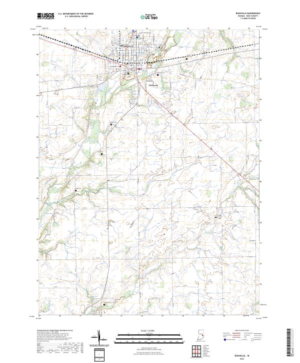
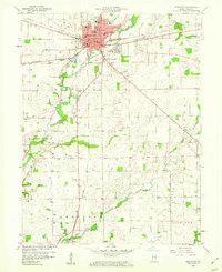 1959 Rushville1960 Print · USGSRush County in the late 1950s is a vibrant crossroads of rail and river, centered on the junction of three major railroads. Genealogists and local historians can trace rural roots through scattered landmarks like Laughlin Cem, the Webb Sch, and a Covered Bridge over the Flatrock River.4 unique versions available
 - 1959 Map of Mays, 1960 Print
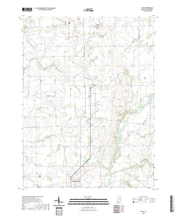
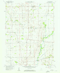 1959 Mays1960 Print · USGSRush County during the late fifties reveals a landscape defined by small rail-towns and an active natural gas field. Researchers can trace the heritage of Mays and Sexton, finding local landmarks like the Covered Bridge and the Mays High School.3 unique versions available
 - 1986 Map of New Castle
 1986 New Castle1986 Print · USGSEast Central Indiana remains a patchwork of thriving county seats and rail-side hamlets in the mid-eighties. Genealogists and historians can locate family landmarks such as East Hill Cemetery, Little Blue River Church, and the transit lines of the CONRAIL railroad.2 unique versions available
 - 2010 Map of Mays, 2010 Print
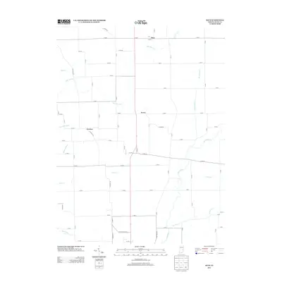
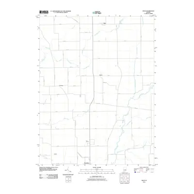 2010 Mays2010 Print · USGSCovers Rushville, including Occident, Mays, and other nearby areas
 - 2010 Map of Rushville, 2010 Print
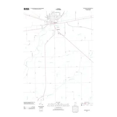
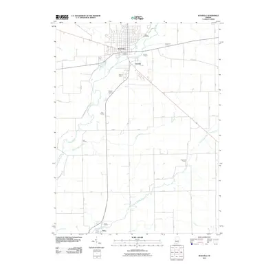 2010 Rushville2010 Print · USGSCovers Rushville, including Circleville, Rush County, and other nearby areas
 - 2013 Map of Mays, 2013 Print
 2013 Mays2013 Print · USGSCovers Rushville, including Occident, Mays, and other nearby areas
 - 2013 Map of Rushville, 2013 Print
 2013 Rushville2013 Print · USGSCovers Rushville, including Circleville, Rush County, and other nearby areas
 - 2016 Map of Mays, 2016 Print
 2016 Mays2016 Print · USGSCovers Rushville, including Occident, Mays, and other nearby areas
 - 2016 Map of Rushville, 2016 Print
 2016 Rushville2016 Print · USGSCovers Rushville, including Circleville, Rush County, and other nearby areas
 - 2019 Map of Rushville, 2019 Print
 2019 Rushville2019 Print · USGSCovers Rushville, including Circleville, Rush County, and other nearby areas
 - 2019 Map of Mays, 2019 Print
 2019 Mays2019 Print · USGSCovers Rushville, including Occident, Mays, and other nearby areas
 - 2022 Map of Mays, 2022 Print
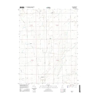
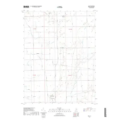
 2022 Mays2022 Print · USGSRush County's rural townships are captured in detail here, showing the agricultural heartland between the villages of Mays and Sexton. Genealogists and local historians can trace family locations near Center Church Cem, Concord Cem, and the winding Flatrock River.
 - 2022 Map of Rushville, 2022 Print
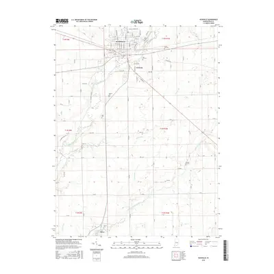
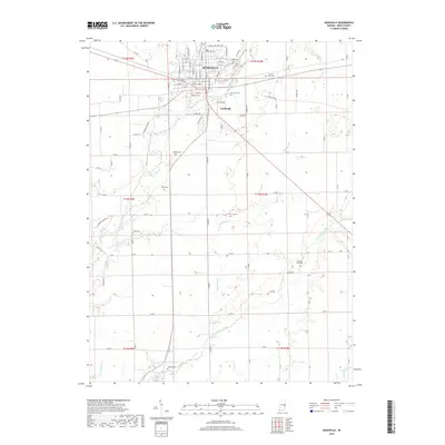
 2022 Rushville2022 Print · USGSRushville and its surrounding agricultural townships appear in this recent 2022 survey, showcasing the enduring settlement patterns of central Indiana. Genealogists can locate several family and municipal burial sites including Laughlin Cem, Duke Cem, and the County Farm Cem along the Flatrock River.
End of results
Showing maps 1-15 of 15
Top cities near Rushville
- Knightstown historical maps
- St. Paul historical maps
- Saint Paul historical maps
- Spiceland historical maps
- Carthage historical maps
- Orange historical maps
See more
Top neighborhoods of Rushville
Frequently asked questions
- What are the different types of historical maps available for Rushville?
- What is the oldest map of Rushville?
- Where can I purchase historical maps of Rushville for my home or office?
- Where can I download high-res historical maps of Rushville?
- Are there historical topographic maps available for Rushville?
- Is there historical aerial imagery available for Rushville?
- Where are historical maps of Rushville sourced from?