Old Maps of Villisca, Iowa
Explore 18 old maps of Villisca, spanning from 1955 to today. These high-resolution historic maps reveal how streets, neighborhoods, landmarks, and natural features evolved over time — perfect for genealogy, metal detecting, research, and local history exploration.
What you can do with these maps:
- See how Villisca changed over time: Compare historical maps to modern-day views to trace roads, homesites, rail lines & more.
- View detailed metadata: Each map includes creators, publishers, year, scale, and archive source.
- Overlay maps with satellite & LiDAR: Visualize the past alongside modern tools to explore terrain & human change.
- Trusted historical sources: Maps sourced from the USGS, Library of Congress, and other archives.
- Access maps your way: View online, download high-res files, or order prints for personal or research use.
Start exploring old maps of Villisca to uncover forgotten places, hidden landmarks, and the deep history beneath your feet.
Villisca, IA maps
(18)- 1955 Map of Nebraska City, 1967 Print
 1955 Nebraska City1967 Print · USGSThe four-state region surrounding the Missouri River valley appears here in the mid-1950s, a landscape of rail-dependent market towns and rural school districts. Genealogists can locate family landmarks like the Rock Bluff School, St Oswald Church, and the Clarinda State Hospital.3 unique versions available
 - 1957 Map of Nebraska City
 1957 Nebraska City1957 Print · USGSThe four-state junction of Nebraska, Iowa, Missouri, and Kansas comes alive in this mid-fifties survey of the Missouri River valley. Genealogists and historians can trace the rail-and-road networks connecting Nebraska City, Maryville, and the Squaw Creek National Wildlife Refuge.
 - 1958 Map of Nebraska City
 1958 Nebraska City1958 Print · USGSThe Missouri River Valley and its fertile four-state borderlands are captured here during the mid-century expansion of the regional highway and rail networks. Genealogists can trace family roots through numerous rural landmarks like Moulton School, Shady Grove Church, and the Clarinda State Hospital.
 - 1978 Map of Stanton
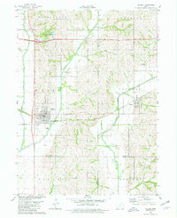
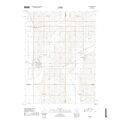
 1978 Stanton1978 Print · USGSStanton and the surrounding Montgomery County farmlands are captured in the late 1970s as the regional rail and water networks evolved. Genealogists and local historians can trace legacy sites like Mamre Cem and Arlington Cem or the emerging recreation at Viking Lake State Park.
 - 1980 Map of Villisca, 1981 Print
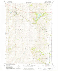
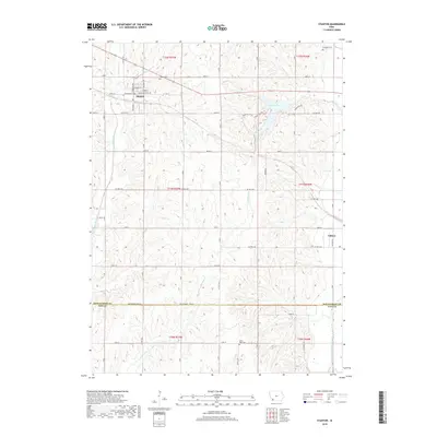
 1980 Villisca1981 Print · USGSVillisca and the surrounding Iowa farmland are captured here in the early eighties, showcasing a landscape defined by the three branches of the Nodaway River. Genealogists can locate several local burial sites including Nodaway Cem and Findley Cem, while following the path of the Burlington Northern rail line.
 - 1985 Map of Nebraska City
 1985 Nebraska City1985 Print · USGSThe Missouri River borderlands of Nebraska, Iowa, and Missouri come into focus in the mid-1980s, showcasing a landscape of river navigation and rail-fed agriculture. Researchers can trace the heritage of Nebraska City, follow the Burlington Northern tracks, or explore river landmarks like Jones Point and McKissick Island.
 - 1985 Map of Mount Ayr
 1985 Mount Ayr1985 Print · USGSThe Iowa-Missouri borderlands are captured here in the mid-eighties, showing a landscape defined by the branching forks of the Platte River and Grand River. Researchers can trace the heritage of rural communities and conservation sites like Lake of Three Fires State Park and Rose Hill Cemetery.2 unique versions available
 - 1993 Map of Nebraska City
 1993 Nebraska City1993 Print · USGSThe Missouri River valley and the rolling farmland of southwest Iowa are captured here in the early nineties, showing a landscape defined by water and rail. Researchers can trace the Burlington Northern lines or explore local landmarks like Arbor Lodge State Park and College Springs.
 - 2010 Map of Villisca, 2010 Print
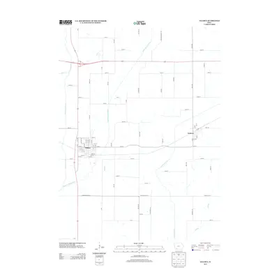
 2010 Villisca2010 Print · USGSCovers Villisca, including Nodaway, Page County, and other nearby areas
 - 2010 Map of Stanton, 2010 Print
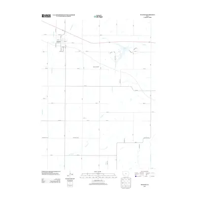
 2010 Stanton2010 Print · USGSCovers Villisca, including Stanton, Page County, and other nearby areas
 - 2013 Map of Villisca, 2013 Print
 2013 Villisca2013 Print · USGSCovers Villisca, including Nodaway, Page County, and other nearby areas
 - 2013 Map of Stanton, 2013 Print
 2013 Stanton2013 Print · USGSCovers Villisca, including Stanton, Page County, and other nearby areas
 - 2015 Map of Villisca, 2015 Print
 2015 Villisca2015 Print · USGSCovers Villisca, including Nodaway, Page County, and other nearby areas
 - 2015 Map of Stanton, 2015 Print
 2015 Stanton2015 Print · USGSCovers Villisca, including Stanton, Page County, and other nearby areas
 - 2018 Map of Stanton, 2018 Print
 2018 Stanton2018 Print · USGSCovers Villisca, including Stanton, Page County, and other nearby areas
 - 2018 Map of Villisca, 2018 Print
 2018 Villisca2018 Print · USGSCovers Villisca, including Nodaway, Page County, and other nearby areas
 - 2022 Map of Stanton, 2022 Print
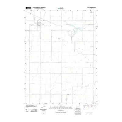
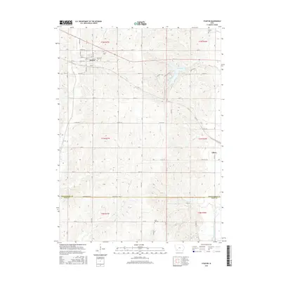
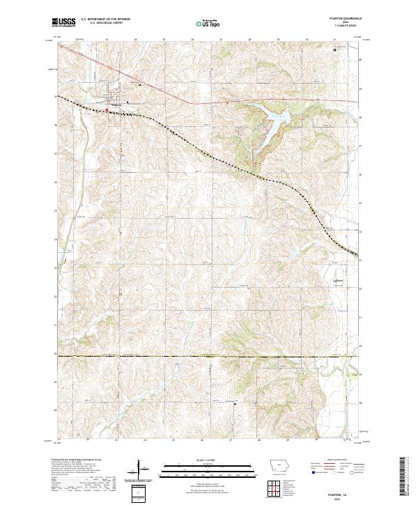 2022 Stanton2022 Print · USGSMontgomery and Page Counties come into focus in this contemporary study of southwest Iowa's agricultural heartland. Genealogists and hikers can trace the surroundings of Stanton, locate Mamrelund Cem, or explore the paths around Viking Lake State Park.
 - 2022 Map of Villisca, 2022 Print
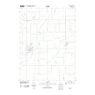
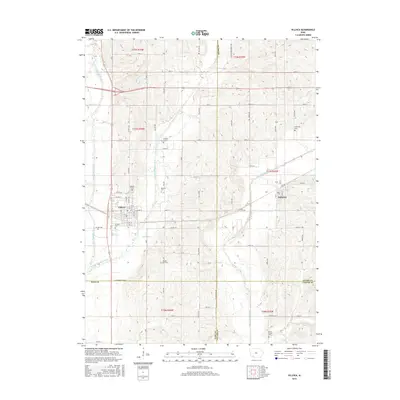
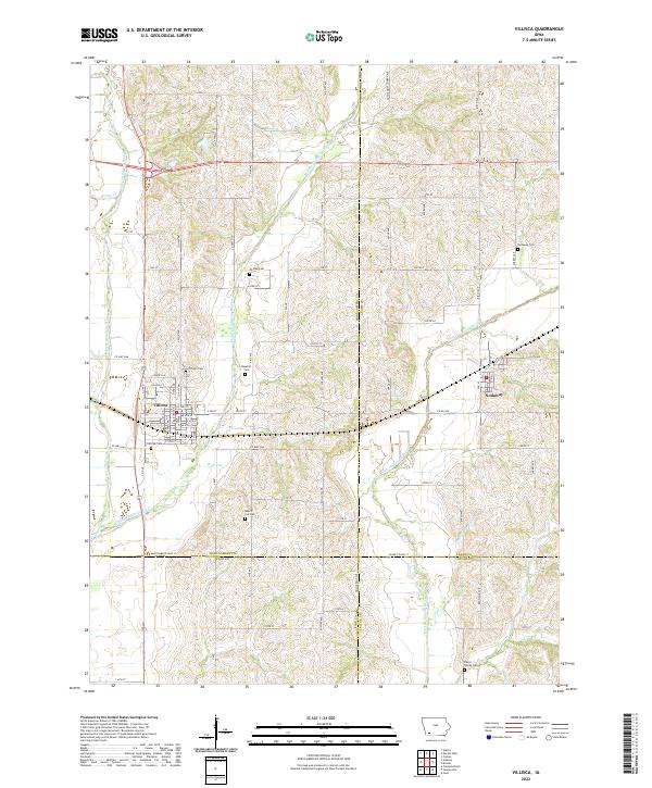 2022 Villisca2022 Print · USGSIn the southwestern Iowa countryside, the towns of Villisca and Nodaway anchor a landscape shaped by three branches of the Nodaway River. Researchers can trace ancestral roots through several distinct burial grounds, including Villisca Cem, Findley Cem, and the Pierce Family Cem.
End of results
Showing maps 1-18 of 18
Top cities near Villisca
- Red Oak historical maps
- Clarinda historical maps
- Stanton historical maps
- New Market historical maps
- Elliott historical maps
- Grant historical maps
See more
Frequently asked questions
- What are the different types of historical maps available for Villisca?
- What is the oldest map of Villisca?
- Where can I purchase historical maps of Villisca for my home or office?
- Where can I download high-res historical maps of Villisca?
- Are there historical topographic maps available for Villisca?
- Is there historical aerial imagery available for Villisca?
- Where are historical maps of Villisca sourced from?