Old Maps of Orange City, Iowa
Explore 20 old maps of Orange City, spanning from 1955 to today. These high-resolution historic maps reveal how streets, neighborhoods, landmarks, and natural features evolved over time — perfect for genealogy, metal detecting, research, and local history exploration.
What you can do with these maps:
- See how Orange City changed over time: Compare historical maps to modern-day views to trace roads, homesites, rail lines & more.
- View detailed metadata: Each map includes creators, publishers, year, scale, and archive source.
- Overlay maps with satellite & LiDAR: Visualize the past alongside modern tools to explore terrain & human change.
- Trusted historical sources: Maps sourced from the USGS, Library of Congress, and other archives.
- Access maps your way: View online, download high-res files, or order prints for personal or research use.
Start exploring old maps of Orange City to uncover forgotten places, hidden landmarks, and the deep history beneath your feet.
Orange City, IA maps
(20)- 1955 Map of Sioux City, 1959 Print
 1955 Sioux City1959 Print · USGSThe Missouri River valley in the mid-fifties is captured here during a time of major engineering and social transition. Genealogists and historians can trace the foundations of Gavins Point Dam, tribal boundaries on the Santee Sioux Indian Reservation, and local landmarks like the Norfolk State Hospital.4 unique versions available
 - 1955 Map of Sioux Falls, 1967 Print
 1955 Sioux Falls1967 Print · USGSThe eastern South Dakota and western Minnesota borderlands come alive in the mid-fifties, showing the vital rail-to-river connections of the era. Genealogists can trace family footprints across townships like Madison and Pipestone, while following the paths of the Big Sioux River and the Chicago and North Western line.3 unique versions available
 - 1958 Map of Sioux City
 1958 Sioux City1958 Print · USGSThe Missouri River valley in the late fifties was a bustling intersection of tribal lands, rail corridors, and river towns. Genealogists can trace family roots through specific rural sites like Daisy Valley School, St Johns Church and School, and Yankton State Hospital.
 - 1958 Map of Sioux Falls
 1958 Sioux Falls1958 Print · USGSThe tri-state borderlands of South Dakota, Minnesota, and Iowa are captured here during the mid-century peak of the regional rail network. Genealogists and historians can trace local landmarks like Augustana Academy, the St Marys Cem, and the path of the Illinois Central through Rock Rapids.
 - 1959 Map of Sioux City
 1959 Sioux City1959 Print · USGSThe tri-state region surrounding the Missouri River is captured here in the late fifties, showing the convergence of Nebraska, South Dakota, and Iowa. Researchers can trace rural lineages through numerous country schoolhouses like Cemetery School and the many numbered Washington School districts.
 - 1962 Map of Le Mars, 1964 Print
 1962 Le Mars1964 Print · USGSNorthwestern Iowa's agricultural heartland is documented here in the early sixties, centered on the growing community of Le Mars. Researchers can trace old rail corridors like the ILLINOIS CENTRAL, locate family plots at Resthaven Cemetery, or find historical landmarks like Westmar College.
 - 1964 Map of Orange City, 1965 Print
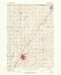
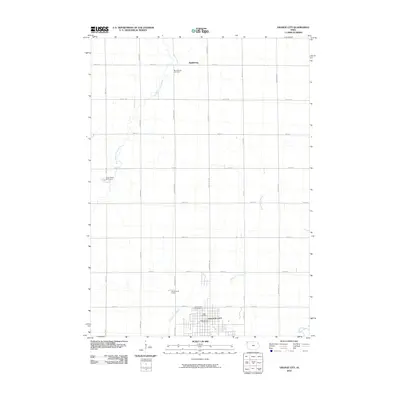
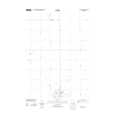
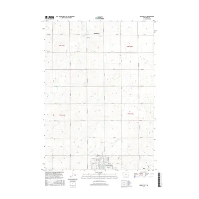
 1964 Orange City1965 Print · USGSSioux County's agricultural heartland is captured in the mid-1960s, centered on the growing town of Orange City. Genealogists and researchers can trace local landmarks like the County Home, Middleburg Cem, and the small settlement of Middleburg.
 - 1985 Map of Rock Rapids
 1985 Rock Rapids1985 Print · USGSThe borderlands of South Dakota and Iowa come into focus in the mid-1980s, centered on the fertile valleys of the Big Sioux River. Genealogists and researchers can trace rural homesteads near Rock Rapids, find Dordt College in Sioux Center, or locate old burial sites like Grace Hill Cem.2 unique versions available
 - 1985 Map of Alton, 1986 Print
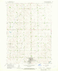
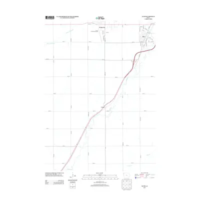
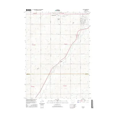
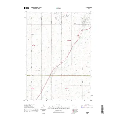
 1985 Alton1986 Print · USGSThe Sioux County landscape in the mid-eighties shows the parallel growth of Orange City and Alton along the Floyd River valley. Researchers can locate Northwestern College, the Chicago and North Western rail corridor, and several local landmarks like St Marys Cem.
 - 1986 Map of Sioux City North
 1986 Sioux City North1986 Print · USGSThe tri-state borderlands of Iowa, South Dakota, and Nebraska are captured here in the mid-eighties as the region's agricultural and academic centers thrived. Researchers can trace historic rail lines like the Illinois Central Gulf and locate landmarks from Briar Cliff College to the heights of Spirit Mound.2 unique versions available
 - 2010 Map of Alton, 2010 Print
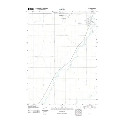 2010 Alton2010 Print · USGSCovers Orange City, including Alton, Carnes, and other nearby areas
 - 2010 Map of Orange City, 2010 Print
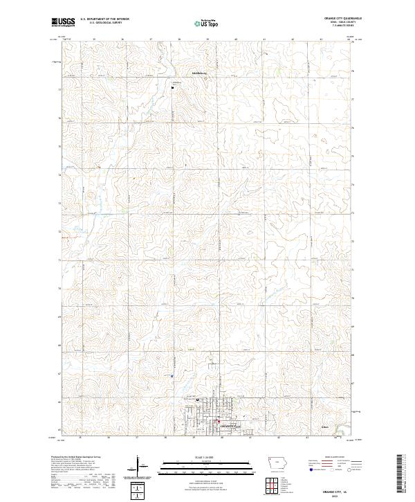
 2010 Orange City2010 Print · USGSCovers Orange City, including Alton, Middleburg, and other nearby areas
 - 2013 Map of Orange City, 2013 Print
 2013 Orange City2013 Print · USGSCovers Orange City, including Alton, Middleburg, and other nearby areas
 - 2013 Map of Alton, 2013 Print
 2013 Alton2013 Print · USGSCovers Orange City, including Alton, Carnes, and other nearby areas
 - 2015 Map of Alton, 2015 Print
 2015 Alton2015 Print · USGSCovers Orange City, including Alton, Carnes, and other nearby areas
 - 2015 Map of Orange City, 2015 Print
 2015 Orange City2015 Print · USGSCovers Orange City, including Alton, Middleburg, and other nearby areas
 - 2018 Map of Alton, 2018 Print
 2018 Alton2018 Print · USGSCovers Orange City, including Alton, Carnes, and other nearby areas
 - 2018 Map of Orange City, 2018 Print
 2018 Orange City2018 Print · USGSCovers Orange City, including Alton, Middleburg, and other nearby areas
 - 2022 Map of Orange City, 2022 Print
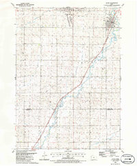
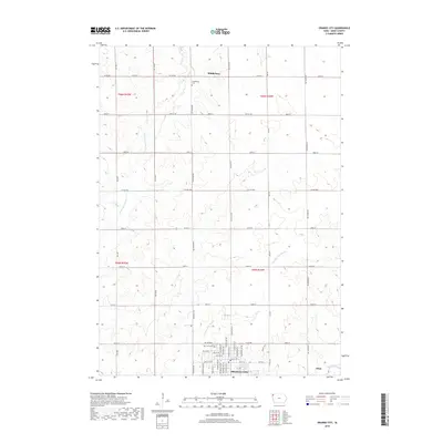
 2022 Orange City2022 Print · USGSSioux County's agricultural heartland is documented here in the early twenty-first century, centered on the growing community of Orange City. Researchers can trace local heritage through landmarks like West Lawn Cem, the settlement of Middleburg, and the path of the W Br Floyd River.
 - 2022 Map of Alton, 2022 Print
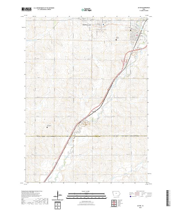 2022 Alton2022 Print · USGSThe Sioux County heartland comes into focus in this recent survey of Orange City and Alton. Researchers can trace local heritage at Saint Marys Cem or follow the path of the Floyd River through the settlement at Carnes.
End of results
Showing maps 1-20 of 20
Top cities near Orange City
- Le Mars historical maps
- Sioux Center historical maps
- Sheldon historical maps
- Rock Valley historical maps
- Hull historical maps
- Remsen historical maps
See more
Frequently asked questions
- What are the different types of historical maps available for Orange City?
- What is the oldest map of Orange City?
- Where can I purchase historical maps of Orange City for my home or office?
- Where can I download high-res historical maps of Orange City?
- Are there historical topographic maps available for Orange City?
- Is there historical aerial imagery available for Orange City?
- Where are historical maps of Orange City sourced from?