Old Maps of Birmingham, Iowa
Explore 17 old maps of Birmingham, spanning from 1958 to today. These high-resolution historic maps reveal how streets, neighborhoods, landmarks, and natural features evolved over time — perfect for genealogy, metal detecting, research, and local history exploration.
What you can do with these maps:
- See how Birmingham changed over time: Compare historical maps to modern-day views to trace roads, homesites, rail lines & more.
- View detailed metadata: Each map includes creators, publishers, year, scale, and archive source.
- Overlay maps with satellite & LiDAR: Visualize the past alongside modern tools to explore terrain & human change.
- Trusted historical sources: Maps sourced from the USGS, Library of Congress, and other archives.
- Access maps your way: View online, download high-res files, or order prints for personal or research use.
Start exploring old maps of Birmingham to uncover forgotten places, hidden landmarks, and the deep history beneath your feet.
Birmingham, IA maps
(17)- 1958 Map of Burlington, 1968 Print
 1958 Burlington1968 Print · USGSThe tri-state river country of Iowa, Illinois, and Missouri is captured here in the mid-fifties, dominated by the Mississippi River and major rail lines. Genealogists and historians can trace the development of river towns like Keokuk or locate the sprawling Iowa Army Ammunition Plant.4 unique versions available
 - 1961 Map of Burlington
 1961 Burlington1961 Print · USGSThe tri-state borderlands along the Mississippi River are captured here during the late fifties and early sixties, showing the vital river-and-rail economy of Iowa, Illinois, and Missouri. Genealogists and historians can trace the development of major hubs like Galesburg and Macomb alongside landmark sites such as the Iowa Ordnance Plant and the historic river town of Nauvoo.
 - 1963 Map of Burlington
 1963 Burlington1963 Print · USGSThe tri-state river country of the Mississippi and Illinois valleys comes alive in this mid-century survey. Genealogists and historians can trace the industrial and academic growth of the region, from the Iowa Ordnance Plant to campuses like Knox College and Western Illinois University.
 - 1980 Map of Fairfield South, 1981 Print
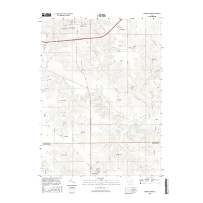
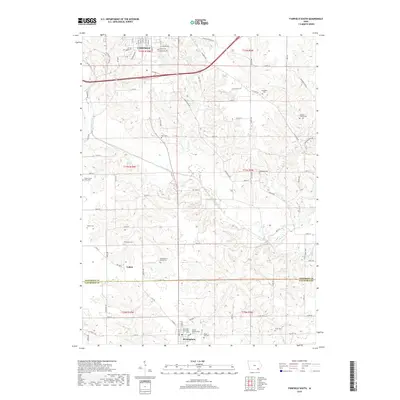
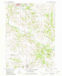 1980 Fairfield South1981 Print · USGSThe Jefferson and Van Buren county line comes to life in the late seventies as rural farmland meets the expanding edges of Fairfield. Genealogists can trace family names at Roth Cem and Smith Cem or locate community landmarks like the County Home.
 - 1981 Map of Mount Zion
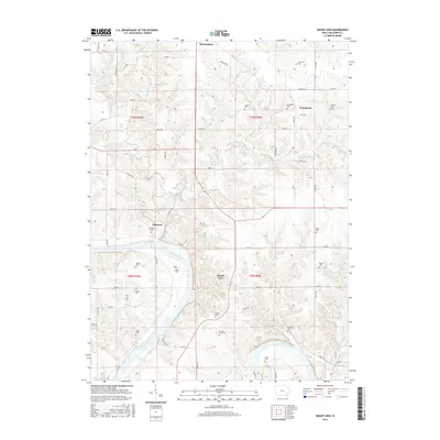
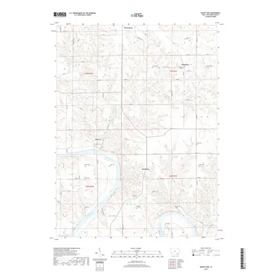
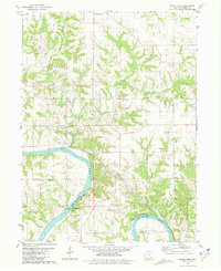 1981 Mount Zion1981 Print · USGSVan Buren County's river-cut landscape is captured here in the early eighties as the Chicago Rock Island and Pacific railroad still traced the Des Moines River. Genealogists can locate several family-named landmarks including Forbes Cem, Leech Cem, and the community at Winchester.
 - 1985 Map of Burlington
 1985 Burlington1985 Print · USGSThe Tri-State region during the mid-eighties shows a landscape shaped by the Mississippi River and a dense network of railroads. Genealogists and local historians can trace family sites near Aspen Grove Cem or locate community landmarks in Burlington, Fort Madison, and Mount Pleasant.2 unique versions available
 - 1990 Map of Burlington
 1990 Burlington1990 Print · USGSThe tri-state confluence of Iowa, Illinois, and Missouri is mapped here at the end of the twentieth century. Genealogists and historians can trace the riverfront heritage of Burlington, Keokuk, and Fort Madison, or locate sites like the Battle of Athens State Historic Site.2 unique versions available
 - 2010 Map of Fairfield South, 2010 Print
 2010 Fairfield South2010 Print · USGSCovers Birmingham, including Fairfield, Collett, and other nearby areas
 - 2010 Map of Mount Zion, 2010 Print
 2010 Mount Zion2010 Print · USGSCovers Birmingham, including Mount Zion, Kilbourn, and other nearby areas
 - 2013 Map of Mount Zion, 2013 Print
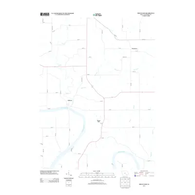 2013 Mount Zion2013 Print · USGSCovers Birmingham, including Mount Zion, Kilbourn, and other nearby areas
 - 2013 Map of Fairfield South, 2013 Print
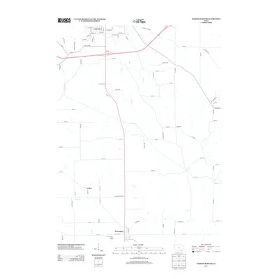 2013 Fairfield South2013 Print · USGSCovers Birmingham, including Fairfield, Collett, and other nearby areas
 - 2015 Map of Mount Zion, 2015 Print
 2015 Mount Zion2015 Print · USGSCovers Birmingham, including Mount Zion, Kilbourn, and other nearby areas
 - 2015 Map of Fairfield South, 2015 Print
 2015 Fairfield South2015 Print · USGSCovers Birmingham, including Fairfield, Collett, and other nearby areas
 - 2018 Map of Fairfield South, 2018 Print
 2018 Fairfield South2018 Print · USGSCovers Birmingham, including Fairfield, Collett, and other nearby areas
 - 2018 Map of Mount Zion, 2018 Print
 2018 Mount Zion2018 Print · USGSCovers Birmingham, including Mount Zion, Kilbourn, and other nearby areas
 - 2022 Map of Fairfield South, 2022 Print
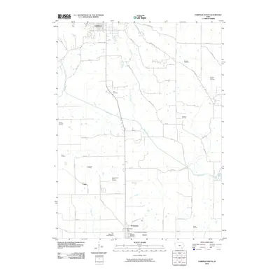
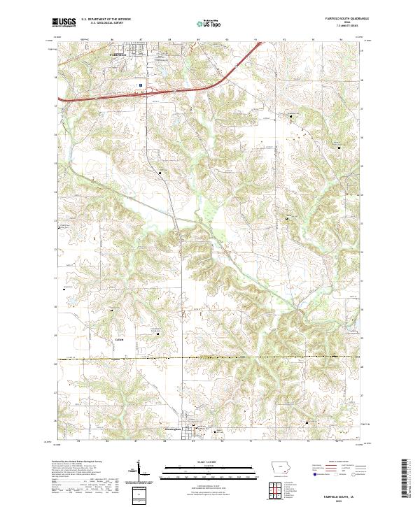 2022 Fairfield South2022 Print · USGSJefferson County rural life continues in this contemporary look at the landscapes south of Fairfield. Researchers can trace local lineage through several family-named burial grounds, including Patterson Cem, Roth Cem, and the Thompson Cem.
 - 2022 Map of Mount Zion, 2022 Print
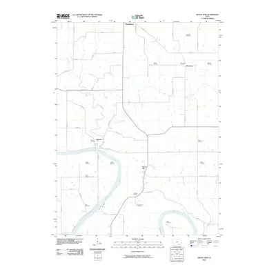
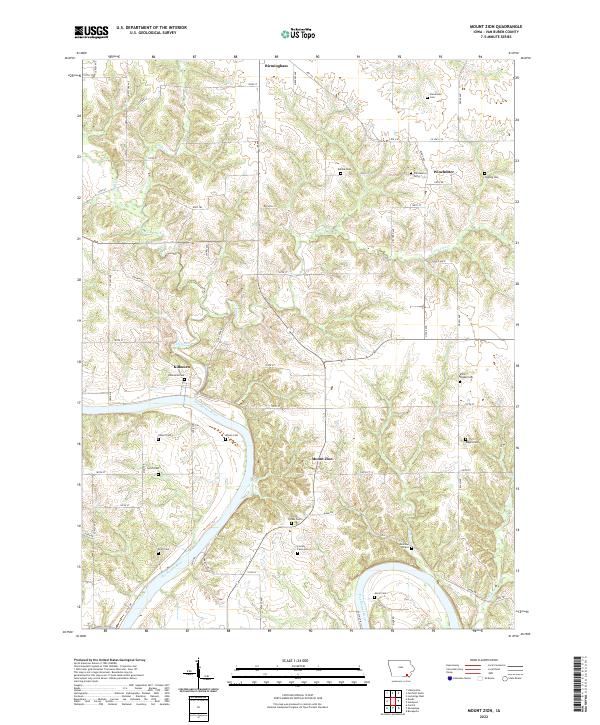 2022 Mount Zion2022 Print · USGSSettled along the northern banks of the Des Moines River, this corner of Van Buren County retains its deep agricultural and cemetery history. Genealogists can trace family names at the Railroad Grave, Miller Chapel Cem, and Kilbourn Cem.
End of results
Showing maps 1-17 of 17
Top cities near Birmingham
- Fairfield historical maps
- Keosauqua historical maps
- Batavia historical maps
- Milton historical maps
- Bonaparte historical maps
- Maharishi Vedic City historical maps
See more
Frequently asked questions
- What are the different types of historical maps available for Birmingham?
- What is the oldest map of Birmingham?
- Where can I purchase historical maps of Birmingham for my home or office?
- Where can I download high-res historical maps of Birmingham?
- Are there historical topographic maps available for Birmingham?
- Is there historical aerial imagery available for Birmingham?
- Where are historical maps of Birmingham sourced from?