Old Maps of West Des Moines, Iowa
Explore 48 old maps of West Des Moines, spanning from 1905 to today. These high-resolution historic maps reveal how streets, neighborhoods, landmarks, and natural features evolved over time — perfect for genealogy, metal detecting, research, and local history exploration.
What you can do with these maps:
- See how West Des Moines changed over time: Compare historical maps to modern-day views to trace roads, homesites, rail lines & more.
- View detailed metadata: Each map includes creators, publishers, year, scale, and archive source.
- Overlay maps with satellite & LiDAR: Visualize the past alongside modern tools to explore terrain & human change.
- Trusted historical sources: Maps sourced from the USGS, Library of Congress, and other archives.
- Access maps your way: View online, download high-res files, or order prints for personal or research use.
Start exploring old maps of West Des Moines to uncover forgotten places, hidden landmarks, and the deep history beneath your feet.
West Des Moines, IA maps
(48)- 1905 Map of Des Moines, 1954 Print
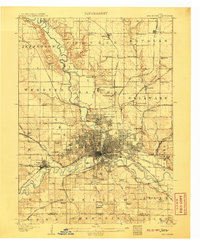
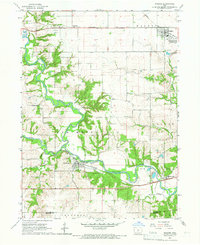
 1905 Des Moines1954 Print · USGSAt the dawn of the twentieth century, the state capital was a thriving rail hub where the Des Moines River met a complex network of iron rails. Genealogists and historians can trace early neighborhood development near the State Fairgrounds or locate family roots near rural landmarks like Red Brick School and Valley Junction.
 - 1907 Map of Des Moines
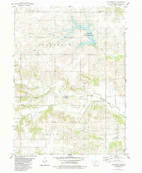
 1907 Des Moines1907 Print · USGSThe capital city and its surrounding coal-and-rail towns are shown in detail at the start of the twentieth century. Genealogists can locate family homesteads near Fort Des Moines or trace ancestors in vanished settlements like Oralabor, Saylorville, and Valley Junction.3 unique versions available
 - 1908 Map of Waukee
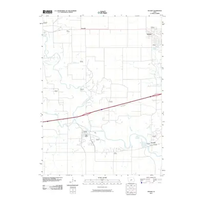
 1908 Waukee1908 Print · USGSDallas County at the turn of the century shows a landscape shaped by competing railroads and the winding Raccoon River. Genealogists and local historians can trace early schoolhouse locations like Valley Grove School and the original rail footprints of Waukee and Van Meter.2 unique versions available
 - 1931 Map of Indianola
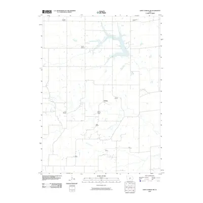
 1931 Indianola1931 Print · USGSWarren County at the end of the 1920s reveals a landscape of thriving rail junctions and rural schoolhouses across central Iowa. Researchers can trace the path of the Chicago Great Western RR through Martensdale and locate local landmarks like Scotch Ridge Sch and the Orillia Mine.4 unique versions available
 - 1951 Map of St. Charles, 1953 Print
 1951 St. Charles1953 Print · USGSMadison and Warren counties are seen here in the early 1950s, when a dense network of rail lines and country schools still knit these rural townships together. Genealogists and local historians can trace family locations near landmarks like Imes Bridge, St Charles Cem, and Blair Chapel.2 unique versions available
 - 1954 Map of Des Moines, 1973 Print
 1954 Des Moines1973 Print · USGSCentral Iowa's evolving landscape is captured here in the early seventies, just as major reservoirs were reshaping the river valleys. Genealogists and historians can trace the rail corridors of the Burlington Northern or locate family roots near Pella, Indianola, and Knoxville.2 unique versions available
 - 1956 Map of Des Moines
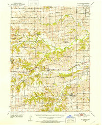
 1956 Des Moines1956 Print · USGSCentral Iowa in the mid-fifties shows a landscape defined by bustling rail hubs and deep-rooted agricultural research. Genealogists and researchers can trace the growth of Des Moines and Ames, locate the Sac and Fox Indian Reservation, or study the paths of the Skunk River and South Skunk River.
 - 1956 Map of Des Moines SW, 1958 Print
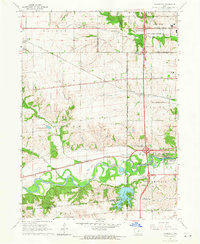
 1956 Des Moines SW1958 Print · USGSMid-century expansion across Polk County shows the growth of the state capital as suburban neighborhoods reached toward West Des Moines. Researchers can trace historic rail lines, old schools like Plainview Sch, and the layout of Drake University or Glendale Cemetery.4 unique versions available
 - 1956 Map of Des Moines, 1959 Print
 1956 Des Moines1959 Print · USGSThe Des Moines metro area is captured in the mid-1950s, showing a landscape defined by rapid suburban growth and deep-rooted military and rail history. Trace the development of Urbandale and Windsor Heights alongside landmarks like Camp Dodge and the State Fairgrounds.
 - 1957 Map of Des Moines
 1957 Des Moines1957 Print · USGSCentral Iowa's post-war landscape is defined here by the converging rail lines and river valleys that shaped its earliest settlements. Genealogists and historians can trace the paths of the Rock Island Railroad and locate community landmarks in Des Moines, Ames, and Newton.
 - 1965 Map of Waukee, 1966 Print
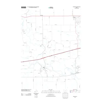
 1965 Waukee1966 Print · USGSMid-century Dallas County is defined by the convergence of the North and South Raccoon Rivers and the busy rail lines of the era. Genealogists and local historians can locate several family cemeteries like Williams Cem and trace the paths of the Chicago Rock Island and Pacific railroad through Van Meter.2 unique versions available
 - 1965 Map of Commerce, 1966 Print
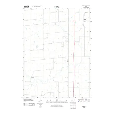
 1965 Commerce1966 Print · USGSSuburban development meets Iowa farmland in the mid-1960s as the Raccoon River valley undergoes rapid change. Trace old rail lines like the Chicago Rock Island and Pacific or locate local landmarks like Valley High Sch and Sugar Creek Lake.2 unique versions available
 - 1969 Map of Des Moines
 1969 Des Moines1969 Print · USGSCentral Iowa's fertile plains and growing capital are captured here during the late sixties, a time of major highway expansion and reservoir construction. Genealogists and researchers can trace rural township boundaries, local cemeteries, and rail lines serving towns like Pella, Grinnell, and Oskaloosa.
 - 1972 Map of Norwalk, 1975 Print
 1972 Norwalk1975 Print · USGSNorwalk and the northern Warren County countryside are shown here in the early 1970s as suburban growth began to meet rural farmland. Local researchers can trace family roots at Linn Grove Cemetery or locate old rail stops along the Chicago and North Western Railroad near Martensdale.
 - 1972 Map of Cumming, 1975 Print
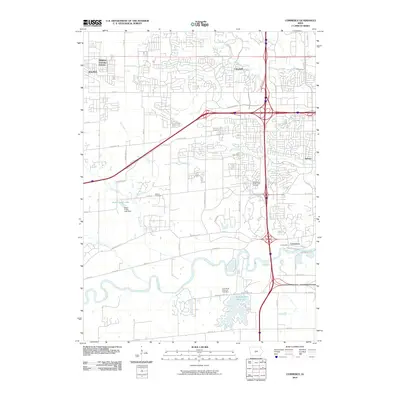
 1972 Cumming1975 Print · USGSCumming and the surrounding townships in the early 1970s show a transition between rural agricultural life and a structured county road network. Genealogists can trace family connections at St Johns Cem, Calvary Cem, and the village of Churchville.
 - 1983 Map of St. Charles NW
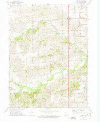
 1983 St. Charles NW1983 Print · USGSMadison County's rural landscape is captured here in the early eighties, showcasing the intersection of four distinct townships. Researchers can locate family landmarks like the McBride Covered Bridge, Jefferson Cem, and Trinity Ch along the winding North River.
 - 1984 Map of Indianola
 1984 Indianola1984 Print · USGSSouth-central Iowa in the mid-1980s reveals a patchwork of established rail hubs and significant new conservation areas. Trace the Chicago and North Western rail lines and explore rural landmarks like Lake Ahquabi State Park or the Strip Mine near Knoxville.
 - 1984 Map of Des Moines, 1985 Print
 1984 Des Moines1985 Print · USGSCentral Iowa's heartland is captured in the mid-1980s as suburban growth met long-standing farm and rail infrastructure. Genealogists and researchers can trace the reaches of the Chicago and North Western through Maxwell or locate Laurel Hill Cem and Camp Dodge Military Reservation.2 unique versions available
 - 2010 Map of Norwalk, 2010 Print
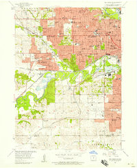
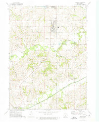
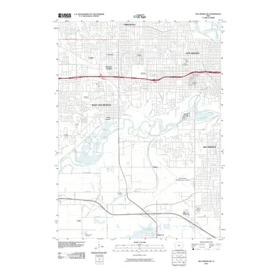
 2010 Norwalk2010 Print · USGSCovers West Des Moines, including Des Moines, Norwalk, and other nearby areas
 - 2010 Map of Commerce, 2010 Print
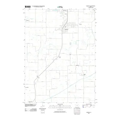
 2010 Commerce2010 Print · USGSCovers West Des Moines, including Urbandale, Waukee, and other nearby areas
 - 2010 Map of Des Moines SW, 2010 Print
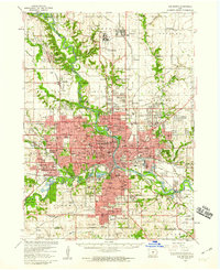
 2010 Des Moines SW2010 Print · USGSCovers West Des Moines, including Des Moines, Urbandale, and other nearby areas
 - 2010 Map of Saint Charles NW, 2010 Print
 2010 Saint Charles NW2010 Print · USGSCovers West Des Moines, including Crawford Township, Lee Township, and other nearby areas
 - 2010 Map of Cumming, 2010 Print
 2010 Cumming2010 Print · USGSCovers West Des Moines, including Cumming, Crawford Township, and other nearby areas
 - 2010 Map of Waukee, 2010 Print
 2010 Waukee2010 Print · USGSCovers West Des Moines, including Waukee, Adel, and other nearby areas
 - 2013 Map of Waukee, 2013 Print
 2013 Waukee2013 Print · USGSCovers West Des Moines, including Waukee, Adel, and other nearby areas
Showing maps 1-25 of 48
Top cities near West Des Moines
- Des Moines historical maps
- Ankeny historical maps
- Urbandale historical maps
- Johnston historical maps
- Waukee historical maps
- Clive historical maps
See more
Top neighborhoods of West Des Moines
Frequently asked questions
- What are the different types of historical maps available for West Des Moines?
- What is the oldest map of West Des Moines?
- Where can I purchase historical maps of West Des Moines for my home or office?
- Where can I download high-res historical maps of West Des Moines?
- Are there historical topographic maps available for West Des Moines?
- Is there historical aerial imagery available for West Des Moines?
- Where are historical maps of West Des Moines sourced from?