Old Maps of Elkader, Kansas
Explore 9 old maps of Elkader, spanning from 1955 to today. These high-resolution historic maps reveal how streets, neighborhoods, landmarks, and natural features evolved over time — perfect for genealogy, metal detecting, research, and local history exploration.
What you can do with these maps:
- See how Elkader changed over time: Compare historical maps to modern-day views to trace roads, homesites, rail lines & more.
- View detailed metadata: Each map includes creators, publishers, year, scale, and archive source.
- Overlay maps with satellite & LiDAR: Visualize the past alongside modern tools to explore terrain & human change.
- Trusted historical sources: Maps sourced from the USGS, Library of Congress, and other archives.
- Access maps your way: View online, download high-res files, or order prints for personal or research use.
Start exploring old maps of Elkader to uncover forgotten places, hidden landmarks, and the deep history beneath your feet.
Elkader, KS maps
(9)- 1955 Map of Scott City, 1969 Print
 1955 Scott City1969 Print · USGSWestern Kansas in the mid-fifties is captured here as a landscape of rural schoolhouses and significant rail corridors. Family historians can trace the locations of Skyline and Beaver Creek Schools or follow the Union Pacific line through Oakley and Sharon Springs.4 unique versions available
 - 1958 Map of Scott City
 1958 Scott City1958 Print · USGSWestern Kansas at the peak of the post-war era reveals a landscape of high-plains agriculture and vital rail junctions. Genealogists and historians can trace old country school sites like Prairie Bell School, the landmark Chalk Pyramids, and small stops along the Union Pacific and Missouri Pacific.
 - 1974 Map of Elkader, 1977 Print
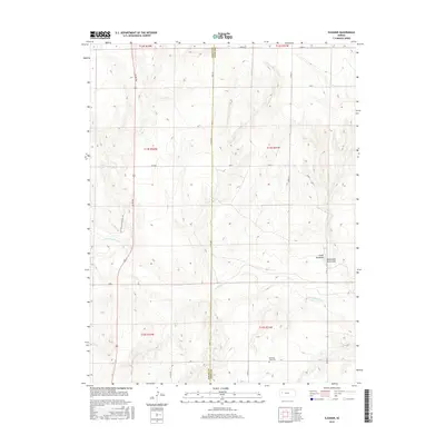
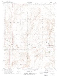 1974 Elkader1977 Print · USGSWestern Kansas at the mid-seventies reveals a landscape shaped by the Smoky Hill River and the legacies of frontier travel. Trace the Butterfield Trail near the Chalk Pyramids and the historic settlement of Elkader.2 unique versions available
 - 1985 Map of Healy
 1985 Healy1985 Print · USGSWestern Kansas in the mid-1980s shows a landscape where pioneer history and the railroad era overlap. Genealogists and historians can trace the Butterfield Overland Trail near Castle Rock or locate rural family outposts near Gove City and Arnold.2 unique versions available
 - 2009 Map of Elkader, 2009 Print
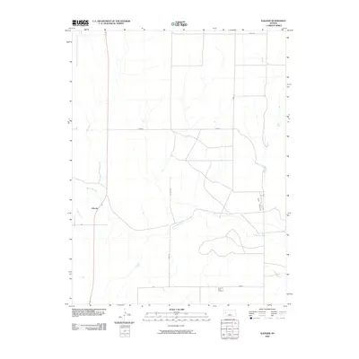 2009 Elkader2009 Print · USGSCovers Elkader, including Logan County, Gove County, and other nearby areas
 - 2012 Map of Elkader, 2012 Print
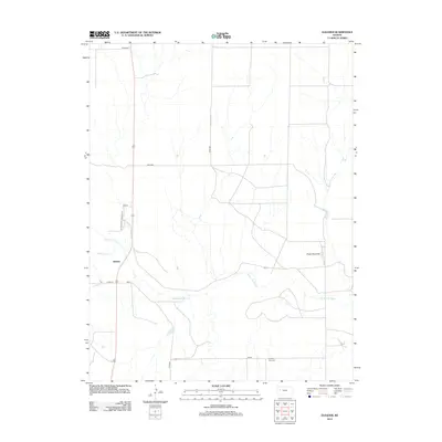 2012 Elkader2012 Print · USGSCovers Elkader, including Logan County, Gove County, and other nearby areas
 - 2015 Map of Elkader, 2015 Print
 2015 Elkader2015 Print · USGSCovers Elkader, including Logan County, Gove County, and other nearby areas
 - 2018 Map of Elkader, 2018 Print
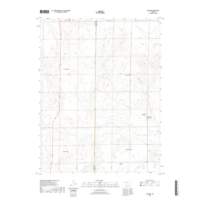 2018 Elkader2018 Print · USGSCovers Elkader, including Logan County, Gove County, and other nearby areas
 - 2022 Map of Elkader, 2022 Print
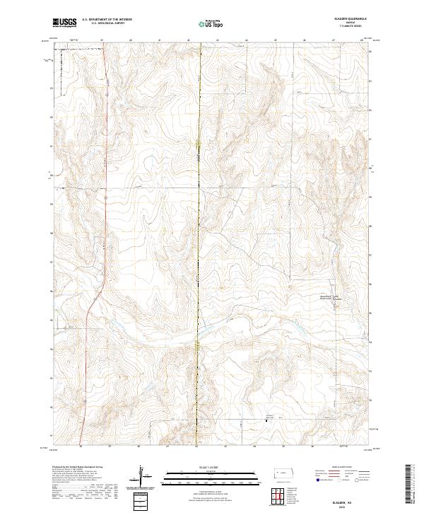 2022 Elkader2022 Print · USGSWestern Kansas at the turn of the twenty-first century reveals a landscape shaped by the Smoky Hill River and ancient geology. Genealogists and explorers can locate the Pyramid View Cem and the unique Monument Rocks or Chalk Pyramids.
End of results
Showing maps 1-9 of 9
Frequently asked questions
- What are the different types of historical maps available for Elkader?
- What is the oldest map of Elkader?
- Where can I purchase historical maps of Elkader for my home or office?
- Where can I download high-res historical maps of Elkader?
- Are there historical topographic maps available for Elkader?
- Is there historical aerial imagery available for Elkader?
- Where are historical maps of Elkader sourced from?