Old Maps of Rolla, Kansas
Explore 16 old maps of Rolla, spanning from 1955 to today. These high-resolution historic maps reveal how streets, neighborhoods, landmarks, and natural features evolved over time — perfect for genealogy, metal detecting, research, and local history exploration.
What you can do with these maps:
- See how Rolla changed over time: Compare historical maps to modern-day views to trace roads, homesites, rail lines & more.
- View detailed metadata: Each map includes creators, publishers, year, scale, and archive source.
- Overlay maps with satellite & LiDAR: Visualize the past alongside modern tools to explore terrain & human change.
- Trusted historical sources: Maps sourced from the USGS, Library of Congress, and other archives.
- Access maps your way: View online, download high-res files, or order prints for personal or research use.
Start exploring old maps of Rolla to uncover forgotten places, hidden landmarks, and the deep history beneath your feet.
Rolla, KS maps
(16)- 1955 Map of Dodge City, 1968 Print
 1955 Dodge City1968 Print · USGSSouthwest Kansas in the mid-fifties reveals an expansive landscape of cattle towns, early gas fields, and prairie outposts. Researchers can trace rural school districts like Moundview and Good Luck or locate the Kansas State Game Farm near Lakin.3 unique versions available
 - 1958 Map of Dodge City
 1958 Dodge City1958 Print · USGSSouthwest Kansas in the late fifties shows a landscape of river-valley agriculture and burgeoning energy infrastructure. Genealogists can trace rural life through numerous landmarks like Fairview Cemetery, the Goodwell School, and Concord Church.
 - 1959 Map of Dodge City
 1959 Dodge City1959 Print · USGSSouthwest Kansas in the mid-fifties is captured at its agricultural height, centered on the vital rail and river hubs of Dodge City and Garden City. Genealogists and local historians can trace rural school districts like Shockey School and Hickok School or locate the Fairview Cemetery.
 - 1974 Map of Rolla SE, 1975 Print
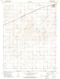
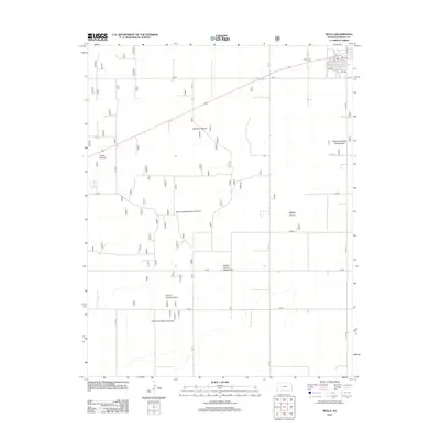
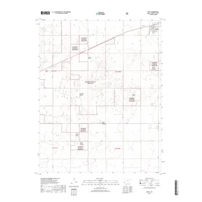
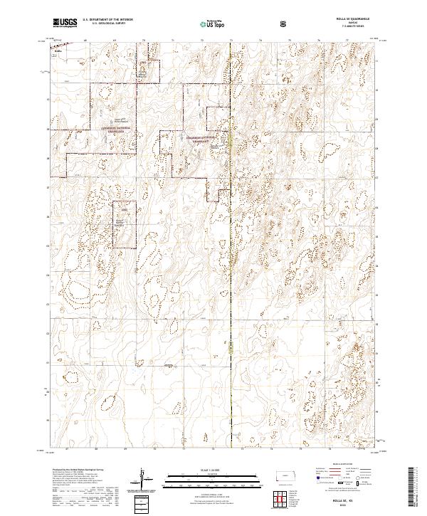
 1974 Rolla SE1975 Print · USGSThe southwestern corner of Kansas in the mid-1970s reveals a landscape shaped by energy production and rail transport. Genealogists and historians can trace the industrial footprint of Rolla through its A T & S F rail connection, regional Gas Wells, and the Compressor Station.2 unique versions available
 - 1974 Map of Rolla, 1976 Print
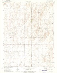
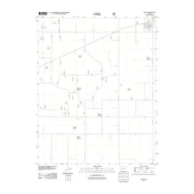
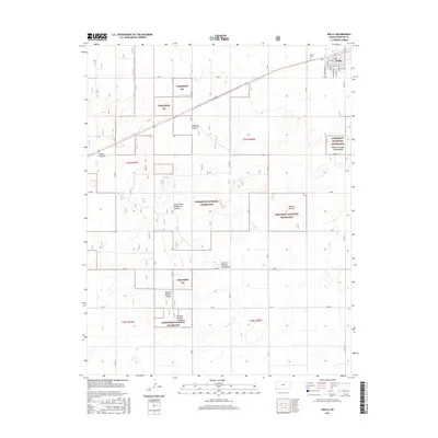
 1974 Rolla1976 Print · USGSMorton County at the height of the 1970s energy boom reveals a landscape defined by the Atchison Topeka and Santa Fe railroad and petroleum extraction. Genealogists and historians can trace the townsite of Rolla, the local Rolla Cem, and dozens of individual Gas Wells across the plains.
 - 1983 Map of Hugoton, 1984 Print
 1983 Hugoton1984 Print · USGSSouthwestern Kansas during the early 1980s reveals a landscape shaped by the energy industry and deep western history. Researchers can trace the Old Santa Fe Trail and explore the Gas Field surrounding Hugoton and Rolla.
 - 2011 Map of Rolla SE, 2011 Print
 2011 Rolla SE2011 Print · USGSCovers Rolla, including Stevens County, Morton County, and other nearby areas
 - 2011 Map of Rolla, 2011 Print
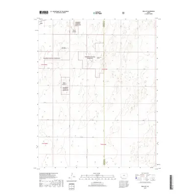
 2011 Rolla2011 Print · USGSCovers Rolla, including Morton County, United States, and other nearby areas
 - 2012 Map of Rolla, 2012 Print
 2012 Rolla2012 Print · USGSCovers Rolla, including Morton County, United States, and other nearby areas
 - 2012 Map of Rolla SE, 2012 Print
 2012 Rolla SE2012 Print · USGSCovers Rolla, including Stevens County, Morton County, and other nearby areas
 - 2015 Map of Rolla SE, 2015 Print
 2015 Rolla SE2015 Print · USGSCovers Rolla, including Stevens County, Morton County, and other nearby areas
 - 2016 Map of Rolla, 2016 Print
 2016 Rolla2016 Print · USGSCovers Rolla, including Morton County, United States, and other nearby areas
 - 2018 Map of Rolla, 2018 Print
 2018 Rolla2018 Print · USGSCovers Rolla, including Morton County, United States, and other nearby areas
 - 2018 Map of Rolla SE, 2018 Print
 2018 Rolla SE2018 Print · USGSCovers Rolla, including Stevens County, Morton County, and other nearby areas
 - 2022 Map of Rolla SE, 2022 Print
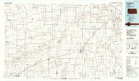
 2022 Rolla SE2022 Print · USGSThe high plains of the Kansas-Oklahoma borderlands are captured here in the early twenty-first century, showing the managed prairies of the Cimarron National Grassland. Researchers can trace the divisions of South East Rollo Pasture and County Line Pasture along the Morton and Stevens county line.
 - 2022 Map of Rolla, 2022 Print
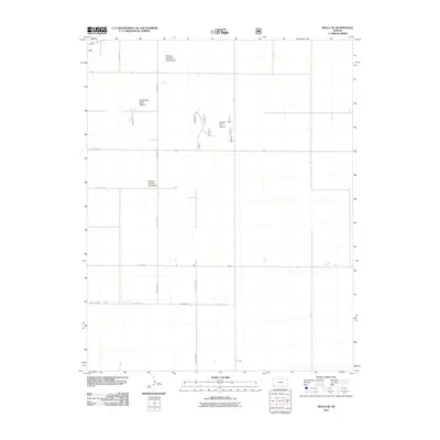
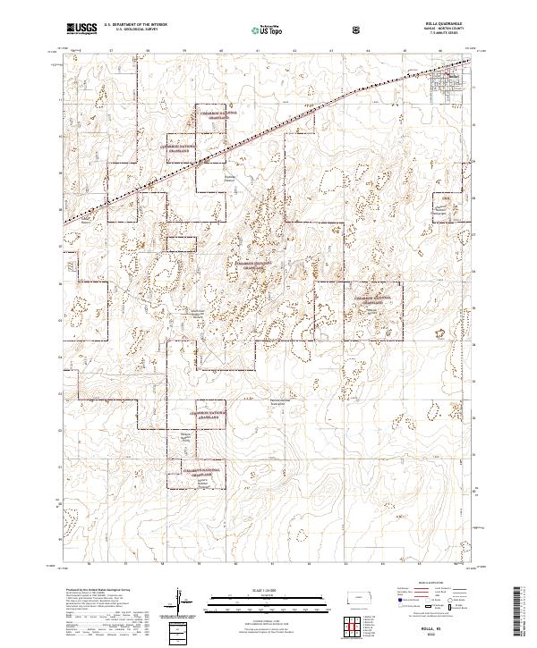 2022 Rolla2022 Print · USGSRolla and the surrounding Morton County plains appear here in the early 2020s, dominated by the managed landscapes of the Cimarron National Grassland. Researchers can trace local heritage at Rolla Cem or locate family grazing interests at Watson Pasture and Tucker Pasture.
End of results
Showing maps 1-16 of 16
Top cities near Rolla
Frequently asked questions
- What are the different types of historical maps available for Rolla?
- What is the oldest map of Rolla?
- Where can I purchase historical maps of Rolla for my home or office?
- Where can I download high-res historical maps of Rolla?
- Are there historical topographic maps available for Rolla?
- Is there historical aerial imagery available for Rolla?
- Where are historical maps of Rolla sourced from?