Old Maps of Gimlet, Kentucky
Explore 10 old maps of Gimlet, spanning from 1950 to today. These high-resolution historic maps reveal how streets, neighborhoods, landmarks, and natural features evolved over time — perfect for genealogy, metal detecting, research, and local history exploration.
What you can do with these maps:
- See how Gimlet changed over time: Compare historical maps to modern-day views to trace roads, homesites, rail lines & more.
- View detailed metadata: Each map includes creators, publishers, year, scale, and archive source.
- Overlay maps with satellite & LiDAR: Visualize the past alongside modern tools to explore terrain & human change.
- Trusted historical sources: Maps sourced from the USGS, Library of Congress, and other archives.
- Access maps your way: View online, download high-res files, or order prints for personal or research use.
Start exploring old maps of Gimlet to uncover forgotten places, hidden landmarks, and the deep history beneath your feet.
Gimlet, KY maps
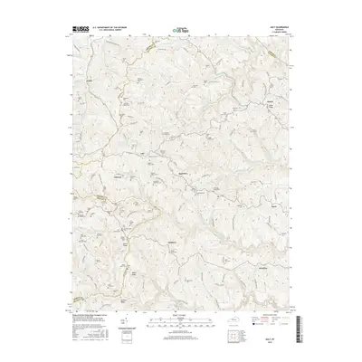
(10)- 1950 Map of Ault, 1952 Print
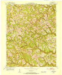 1950 Ault1952 Print · USGSNortheastern Kentucky life in the early fifties revolves around winding creek-beds and ridge-top schools. Trace ancestral roots through localized landmarks like Gimlet (PO), Mocabee Ford, and the many rural schools including Rock Springs Sch and Bunker Hill Sch.
 - 1957 Map of Huntington, 1966 Print
 1957 Huntington1966 Print · USGSThe industrial heart of the Ohio River valley is captured here in the mid-sixties, showing the growth of Huntington and Ashland. Researchers can trace the extensive rail networks of the Chesapeake and Ohio RR and locate sites like the Chief Cornstalk Hunting Ground.3 unique versions available
 - 1960 Map of Huntington
 1960 Huntington1960 Print · USGSThe tri-state river valley thrived in the late fifties as a hub of heavy industry and Appalachian rail transit. Genealogists and historians can trace the connection between river towns like Ashland and Portsmouth or locate family homesteads near Coleman Ridge.
 - 1962 Map of Ault, 1964 Print
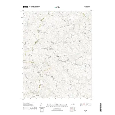
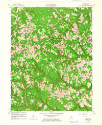 1962 Ault1964 Print · USGSElliott County and its neighbors are captured here in the early 1960s, showing a landscape of upland ridges and deep-cut creek settlements. Trace the history of rural communities at Stark, Ordinary, and Dewdrop, or locate family landmarks like Mary Mabry Cem.2 unique versions available
 - 1982 Map of Morehead, 1983 Print
 1982 Morehead1983 Print · USGSThe foothills of northeastern Kentucky come alive in the early eighties, showcasing a landscape defined by timber, limestone caves, and major reservoirs. Local researchers can trace the development of Morehead State University or locate old crossings at Plummers Mill and Salt Lick.
 - 2010 Map of Ault, 2010 Print
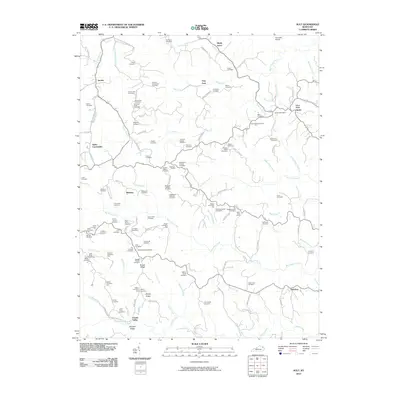 2010 Ault2010 Print · USGSCovers Gimlet, including Sideway, Ault, and other nearby areas
 - 2013 Map of Ault, 2013 Print
 2013 Ault2013 Print · USGSCovers Gimlet, including Sideway, Ault, and other nearby areas
 - 2016 Map of Ault, 2016 Print
 2016 Ault2016 Print · USGSCovers Gimlet, including Sideway, Ault, and other nearby areas
 - 2019 Map of Ault, 2019 Print
 2019 Ault2019 Print · USGSCovers Gimlet, including Sideway, Ault, and other nearby areas
 - 2022 Map of Ault, 2022 Print
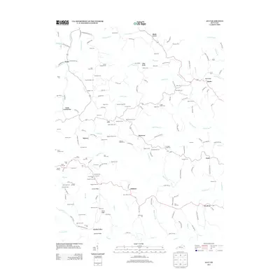
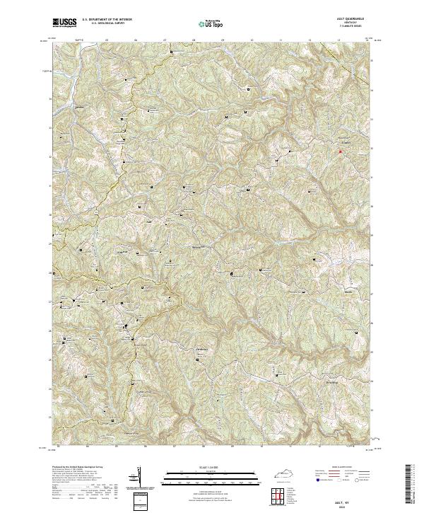 2022 Ault2022 Print · USGSThe northern Cumberland Plateau in Elliott County appears here as a land of high ridges and deep creek hollows in 2022. Genealogists can trace family heritage through scores of named burial sites like Henderson Ridge Cem, Mauk Cem, and Porter Cem.
End of results
Showing maps 1-10 of 10
Top cities near Gimlet
Frequently asked questions
- What are the different types of historical maps available for Gimlet?
- What is the oldest map of Gimlet?
- Where can I purchase historical maps of Gimlet for my home or office?
- Where can I download high-res historical maps of Gimlet?
- Are there historical topographic maps available for Gimlet?
- Is there historical aerial imagery available for Gimlet?
- Where are historical maps of Gimlet sourced from?