Old Maps of Clinton, Kentucky
Explore 22 old maps of Clinton, spanning from 1939 to today. These high-resolution historic maps reveal how streets, neighborhoods, landmarks, and natural features evolved over time — perfect for genealogy, metal detecting, research, and local history exploration.
What you can do with these maps:
- See how Clinton changed over time: Compare historical maps to modern-day views to trace roads, homesites, rail lines & more.
- View detailed metadata: Each map includes creators, publishers, year, scale, and archive source.
- Overlay maps with satellite & LiDAR: Visualize the past alongside modern tools to explore terrain & human change.
- Trusted historical sources: Maps sourced from the USGS, Library of Congress, and other archives.
- Access maps your way: View online, download high-res files, or order prints for personal or research use.
Start exploring old maps of Clinton to uncover forgotten places, hidden landmarks, and the deep history beneath your feet.
Clinton, KY maps
(22)- 1939 Map of Hickman, 1941 Print
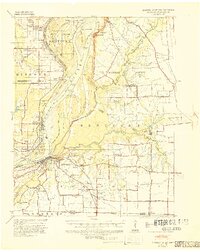 1939 Hickman1941 Print · USGSWestern Kentucky and the Missouri bootheel meet at the river in the late 1930s, showing a landscape of flood control and rural growth. Genealogists can locate family-named sites like Hubbard Cem, Stubbs Sch, and the riverside settlement of Dorena.4 unique versions available
 - 1951 Map of Oakton, 1952 Print
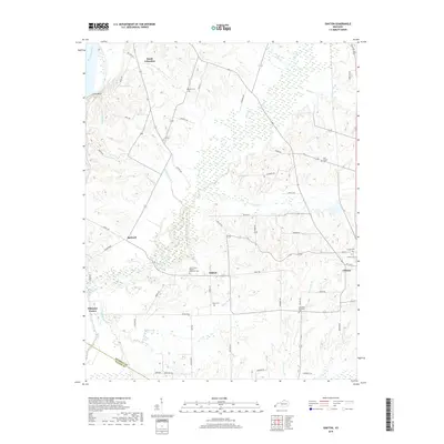
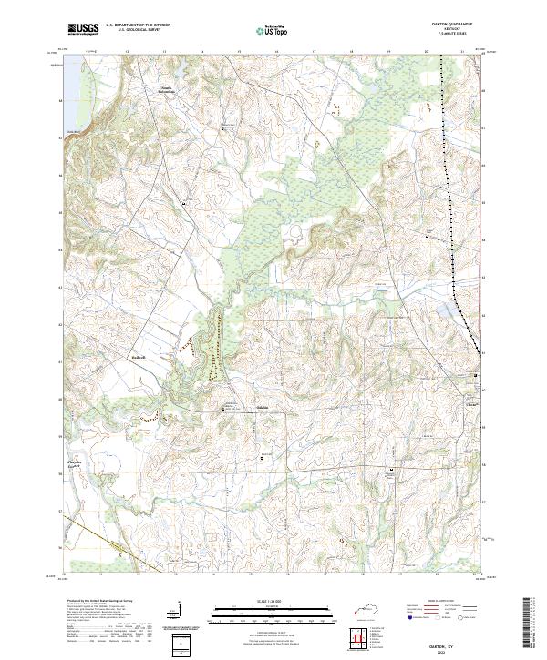
 1951 Oakton1952 Print · USGSWestern Kentucky’s riverfront and rail corridors are captured here in the early fifties, documenting a landscape of small agricultural hubs and bluff-side terrain. Genealogists can trace early homesteads and social centers like Oakton, Whaynes Corner, and Oakwood Ch.2 unique versions available
 - 1952 Map of Clinton, 1953 Print
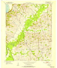
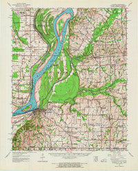
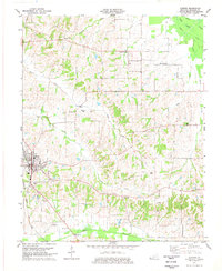
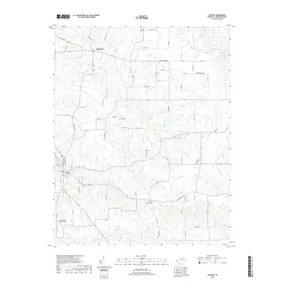
 1952 Clinton1953 Print · USGSHickman County settlement and agriculture are at their mid-century peak in this detailed study of the area surrounding the county seat. Family historians can locate ancestral sites at McWhorter Cem or trace the old ILLINOIS CENTRAL rail line through Clinton.
 - 1952 Map of Water Valley, 1957 Print
 1952 Water Valley1957 Print · USGSWestern Kentucky and northern Tennessee are captured here in the early fifties as the Illinois Central railroad linked farming hubs and small towns. Genealogists can trace family names through dozens of landmarks like Camp Beauregard Cem, McWhort Cem, and Shiloh Sch Ch.
 - 1954 Map of Hickman, 1966 Print
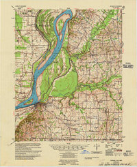
 1954 Hickman1966 Print · USGSThe tristate river country of Kentucky, Missouri, and Tennessee is captured here during the mid-century era of river control and rural rail. Genealogists can trace family landmarks like Sylvan Shade Sch, Dorena, and the river landings at Williams Ldg.
 - 1955 Map of Hickman
 1955 Hickman1955 Print · USGSMid-century life along the Mississippi River meanders is captured here during a period of heavy river engineering and rural expansion. Genealogists can trace family names and local sites like Sassafras Ridge Cem, Dorena Ch, and the Illinois Central rail line.2 unique versions available
 - 1956 Map of Dyersburg, 1960 Print
 1956 Dyersburg1960 Print · USGSThe Four Rivers region comes alive in the mid-fifties, capturing the intricate borderlands of Tennessee, Kentucky, and Missouri. Genealogists and historians can trace the rail-and-river networks connecting Dyersburg, Caruthersville, and the shoreline of Reelfoot Lake.4 unique versions available
 - 1970 Map of Oakton, 1972 Print
 1970 Oakton1972 Print · USGSHickman and Fulton Counties are captured here at the start of the 1970s, showcasing the intricate drainage and rail networks of western Kentucky. Genealogists can trace family connections at Roberts Cem, Oakton, and the rural community of Whayne.2 unique versions available
 - 1972 Map of Hickman
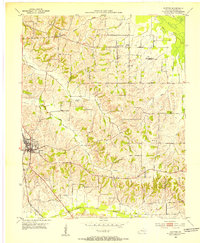
 1972 Hickman1972 Print · USGSThe Kentucky and Tennessee borderlands come alive in the early 1970s, as the mighty Mississippi winds past riverfront settlements. Researchers can trace the Illinois Central rail line through rural hubs like Moscow and Cayce, or locate family landmarks such as Mt Hermon Ch and Ivie Cem.
 - 1977 Map of Clinton
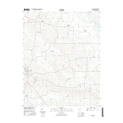
 1977 Clinton1977 Print · USGSClinton and the rural settlements of Hickman County are documented here in the late seventies. Genealogists can trace family roots through Trinity Chapel, Hays Cem, and the rail corridor of the Illinois Central Gulf.2 unique versions available
 - 1985 Map of Sikeston, 1986 Print
 1985 Sikeston1986 Print · USGSThe Missouri Bootheel and the four-state river convergence are captured in the mid-eighties as the modern agricultural and rail networks matured. Researchers can locate regional landmarks like the Towosahgy State Historic Site, Oak Grove Cem, and towns along the St Louis Southwestern Railroad.2 unique versions available
 - 1986 Map of Murray
 1986 Murray1986 Print · USGSWestern Kentucky in the mid-1980s reveals a landscape defined by the Tennessee and Cumberland rivers. Genealogists and historians can trace rail-town development along the Illinois Central Gulf RR and find family-named locations like Dukedom and Water Valley.2 unique versions available
 - 2010 Map of Clinton, 2010 Print
 2010 Clinton2010 Print · USGSCovers Clinton, including New Cypress, Old Cypress, and other nearby areas
 - 2010 Map of Oakton, 2010 Print
 2010 Oakton2010 Print · USGSCovers Clinton, including Hailwell, Whaynes Corner, and other nearby areas
 - 2013 Map of Clinton, 2013 Print
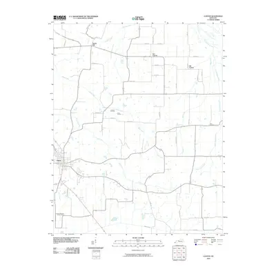
 2013 Clinton2013 Print · USGSCovers Clinton, including New Cypress, Old Cypress, and other nearby areas
 - 2013 Map of Oakton, 2013 Print
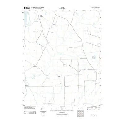
 2013 Oakton2013 Print · USGSCovers Clinton, including Hailwell, Whaynes Corner, and other nearby areas
 - 2016 Map of Oakton, 2016 Print
 2016 Oakton2016 Print · USGSCovers Clinton, including Hailwell, Whaynes Corner, and other nearby areas
 - 2016 Map of Clinton, 2016 Print
 2016 Clinton2016 Print · USGSCovers Clinton, including New Cypress, Old Cypress, and other nearby areas
 - 2019 Map of Oakton, 2019 Print
 2019 Oakton2019 Print · USGSCovers Clinton, including Hailwell, Whaynes Corner, and other nearby areas
 - 2019 Map of Clinton, 2019 Print
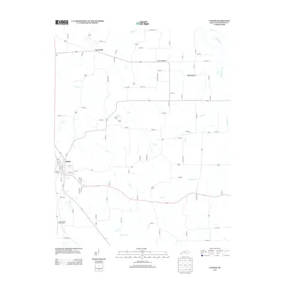
 2019 Clinton2019 Print · USGSCovers Clinton, including New Cypress, Old Cypress, and other nearby areas
 - 2022 Map of Oakton, 2022 Print
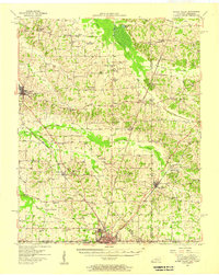
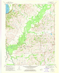
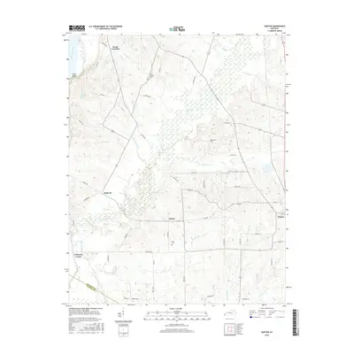
 2022 Oakton2022 Print · USGSHickman County’s rural landscape is captured in the early 2020s, showing a region defined by its creek valleys and historic crossroads. Genealogists can locate numerous landmarks including Mount Sinai Baptist, Scott Hill Cem, and the settlement of Oakton.
 - 2022 Map of Clinton, 2022 Print
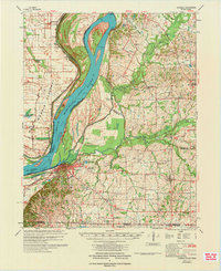
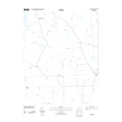
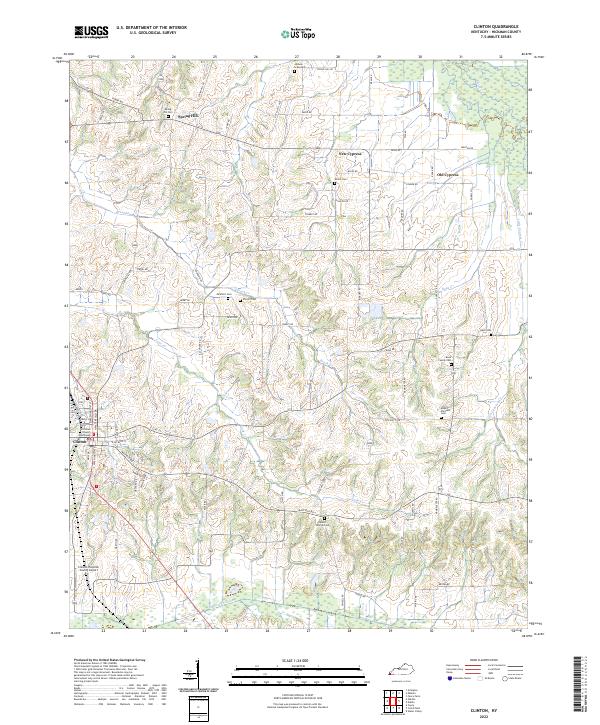 2022 Clinton2022 Print · USGSHickman County is shown here in the contemporary era, centered on the historic seat of Clinton and its network of rural creek valleys. Researchers can locate numerous family burial sites, including the Bone Family Cem, McWhort Cem, and Shiloh Cem.
End of results
Showing maps 1-22 of 22
Top cities near Clinton
- Union City historical maps
- Fulton historical maps
- South Fulton historical maps
- Hickman historical maps
- Bardwell historical maps
- Arlington historical maps
See more
Frequently asked questions
- What are the different types of historical maps available for Clinton?
- What is the oldest map of Clinton?
- Where can I purchase historical maps of Clinton for my home or office?
- Where can I download high-res historical maps of Clinton?
- Are there historical topographic maps available for Clinton?
- Is there historical aerial imagery available for Clinton?
- Where are historical maps of Clinton sourced from?