Old Maps of Burgin, Kentucky
Explore 27 old maps of Burgin, spanning from 1905 to today. These high-resolution historic maps reveal how streets, neighborhoods, landmarks, and natural features evolved over time — perfect for genealogy, metal detecting, research, and local history exploration.
What you can do with these maps:
- See how Burgin changed over time: Compare historical maps to modern-day views to trace roads, homesites, rail lines & more.
- View detailed metadata: Each map includes creators, publishers, year, scale, and archive source.
- Overlay maps with satellite & LiDAR: Visualize the past alongside modern tools to explore terrain & human change.
- Trusted historical sources: Maps sourced from the USGS, Library of Congress, and other archives.
- Access maps your way: View online, download high-res files, or order prints for personal or research use.
Start exploring old maps of Burgin to uncover forgotten places, hidden landmarks, and the deep history beneath your feet.
Burgin, KY maps
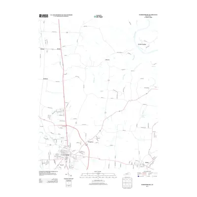
(27)- 1905 Map of Harrodsburg
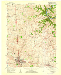
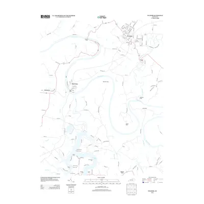
 1905 Harrodsburg1905 Print · USGSCentral Kentucky's Bluegrass region is captured here in the early twentieth century, showing a landscape defined by the deep gorges of the Kentucky River. Researchers can trace the era's vital rail networks and river commerce through features like Lock No 7 and the Louisville and Nashville RR.3 unique versions available
 - 1952 Map of Danville, 1953 Print
 1952 Danville1953 Print · USGSDanville and the surrounding Bluegrass countryside are shown in the early fifties as the region's institutional and transit hubs were firmly established. Genealogists can locate family landmarks like Salt River Cem, Faulkners Lane Ch, and small rail stops like Burgin.
 - 1952 Map of Harrodsburg, 1953 Print
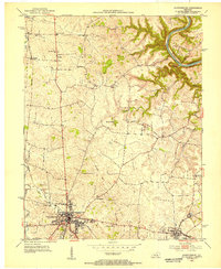 1952 Harrodsburg1953 Print · USGSMercer County's historic core and the surrounding Bluegrass countryside are shown here in the early fifties. Local historians can trace family roots through landmarks like McAfee Sch and New Providence Cem, or explore the grounds of Fort Harrod.
 - 1952 Map of Wilmore, 1953 Print
 1952 Wilmore1953 Print · USGSThe Jessamine County landscape near the Kentucky River is captured in the early fifties, showing the area's transition into the mid-century era. Genealogists and historians can locate established property patterns near Wilmore and the historic grounds of Shakertown.3 unique versions available
 - 1957 Map of Winchester, 1968 Print
 1957 Winchester1968 Print · USGSCentral Kentucky's landscape in the mid-twentieth century features the sprawling Fort Knox and the early parkway system. Genealogists and historians can trace rail lines like the Southern Railway and find landmarks from Bernheim Forest to Pilot Knob.3 unique versions available
 - 1959 Map of Danville, 1960 Print
 1959 Danville1960 Print · USGSDanville and Harrodsburg anchor this late-fifties landscape as the region's rail and educational centers began to modernize. Genealogists and researchers can trace local heritage through landmarks like Centre College, the Mud Meetinghouse, and Pioneer Ch.
 - 1959 Map of Harrodsburg, 1960 Print
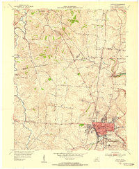
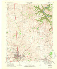
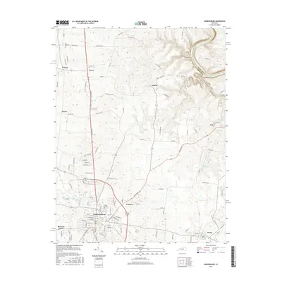
 1959 Harrodsburg1960 Print · USGSMercer County at the end of the 1950s shows the growth of Harrodsburg and the surrounding rural settlements. Researchers can trace family sites near New Providence Ch, locate the old McAfee Sch, or find the Drive-in Theater as it stood mid-century.
 - 1960 Map of Winchester
 1960 Winchester1960 Print · USGSCentral Kentucky's diverse landscape is shown here at mid-century, from the bluegrass plains to the rugged Pottsville Escarpment. Genealogists and historians can trace the rail-and-river network connecting towns like Bardstown and Stanford alongside landmarks like Lake Cumberland.
 - 1967 Map of Danville, 1969 Print
 1967 Danville1969 Print · USGSDanville and its neighboring Mercer County communities are shown in the late sixties as the area transitioned into modern suburban growth. Genealogists can trace family landmarks like the Mud Meetinghouse, Salt River Cem, and Centre College.3 unique versions available
 - 1967 Map of Harrodsburg, 1970 Print
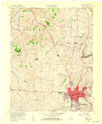
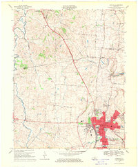
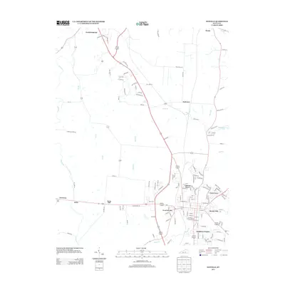
 1967 Harrodsburg1970 Print · USGSMercer County is captured here in the late sixties, centered on the growing town of Harrodsburg and the Kentucky River. Researchers can trace family homesteads near New Providence Ch, Burgin, and the river landing at Mundys Landing.3 unique versions available
 - 1986 Map of Harrodsburg
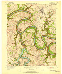
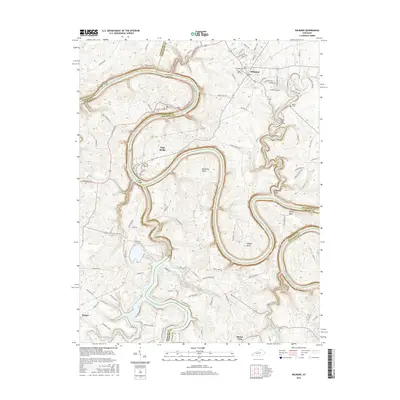
 1986 Harrodsburg1986 Print · USGSCentral Kentucky in the mid-eighties reveals a landscape defined by the winding Kentucky River and the bustling county seats of the Bluegrass. Genealogists and historians can trace the evolution of Harrodsburg, Danville, and Nicholasville alongside the Lexington Blue Grass Army Depot.
 - 1991 Map of Harrodsburg
 1991 Harrodsburg1991 Print · USGSThe heart of the Bluegrass region comes alive in the late twentieth century, showing the deep river gorges and limestone uplands of central Kentucky. Genealogists and local historians can locate Shakertown, the sprawling Lexington Blue Grass Army Depot, and Berea College.
 - 2010 Map of Wilmore, 2010 Print
 2010 Wilmore2010 Print · USGSCovers Burgin, including Wilmore, Buena Vista, and other nearby areas
 - 2010 Map of Harrodsburg, 2010 Print
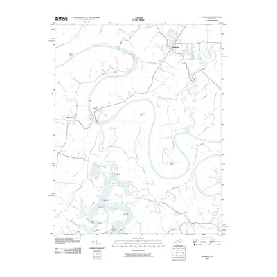
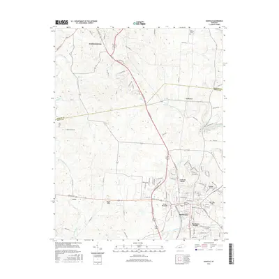
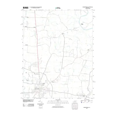 2010 Harrodsburg2010 Print · USGSCovers Burgin, including Harrodsburg, McAfee, and other nearby areas
 - 2010 Map of Danville, 2010 Print
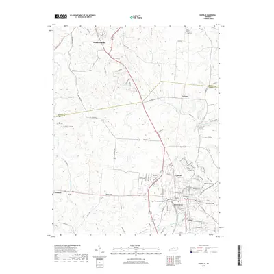
 2010 Danville2010 Print · USGSCovers Burgin, including Danville, Harrodsburg, and other nearby areas
 - 2013 Map of Wilmore, 2013 Print
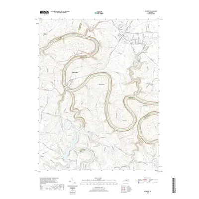
 2013 Wilmore2013 Print · USGSCovers Burgin, including Wilmore, Buena Vista, and other nearby areas
 - 2013 Map of Danville, 2013 Print
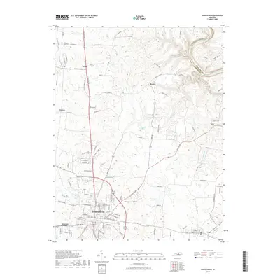
 2013 Danville2013 Print · USGSCovers Burgin, including Danville, Harrodsburg, and other nearby areas
 - 2013 Map of Harrodsburg, 2013 Print
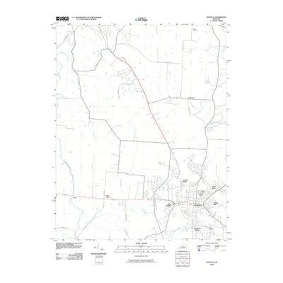
 2013 Harrodsburg2013 Print · USGSCovers Burgin, including Harrodsburg, McAfee, and other nearby areas
 - 2016 Map of Wilmore, 2016 Print
 2016 Wilmore2016 Print · USGSCovers Burgin, including Wilmore, Buena Vista, and other nearby areas
 - 2016 Map of Danville, 2016 Print
 2016 Danville2016 Print · USGSCovers Burgin, including Danville, Harrodsburg, and other nearby areas
 - 2016 Map of Harrodsburg, 2016 Print
 2016 Harrodsburg2016 Print · USGSCovers Burgin, including Harrodsburg, McAfee, and other nearby areas
 - 2019 Map of Danville, 2019 Print
 2019 Danville2019 Print · USGSCovers Burgin, including Danville, Harrodsburg, and other nearby areas
 - 2019 Map of Harrodsburg, 2019 Print
 2019 Harrodsburg2019 Print · USGSCovers Burgin, including Harrodsburg, McAfee, and other nearby areas
 - 2019 Map of Wilmore, 2019 Print
 2019 Wilmore2019 Print · USGSCovers Burgin, including Wilmore, Buena Vista, and other nearby areas
 - 2022 Map of Wilmore, 2022 Print
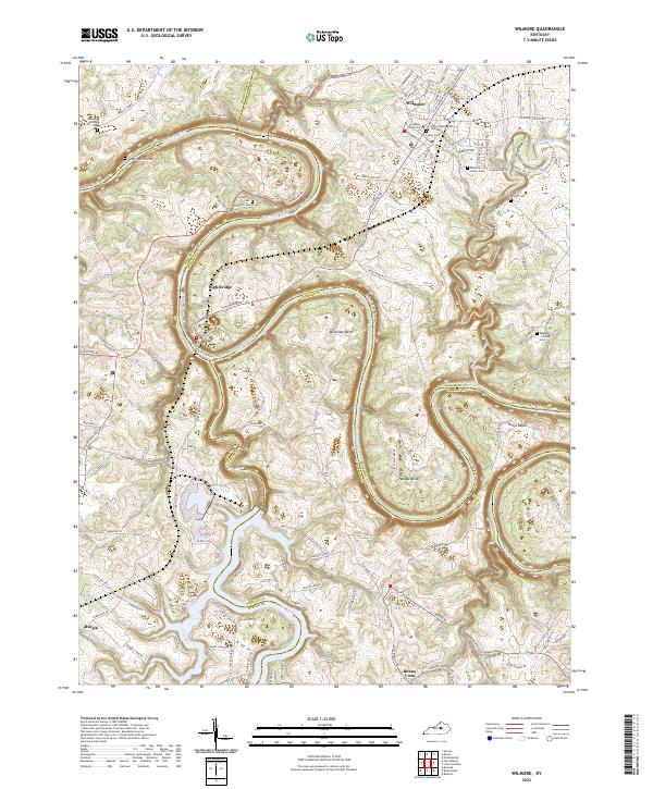 2022 Wilmore2022 Print · USGSWilmore and the dramatic Kentucky River palisades are captured here in the early twenty-first century as the region maintains its academic and river-town character. Genealogists and historians can trace small family plots like Rhorer Cem and Megee - Phillips Cem, or explore the steep terrain of Jessamine Gorge and High Bridge.
Showing maps 1-25 of 27
Top cities near Burgin
- Lexington historical maps
- Nicholasville historical maps
- Danville historical maps
- Harrodsburg historical maps
- Lancaster historical maps
- Wilmore historical maps
See more
Frequently asked questions
- What are the different types of historical maps available for Burgin?
- What is the oldest map of Burgin?
- Where can I purchase historical maps of Burgin for my home or office?
- Where can I download high-res historical maps of Burgin?
- Are there historical topographic maps available for Burgin?
- Is there historical aerial imagery available for Burgin?
- Where are historical maps of Burgin sourced from?