Old Maps of East Mercer, Mercer
Explore 16 old maps of East Mercer, spanning from 1894 to today. These high-resolution historic maps reveal how streets, neighborhoods, landmarks, and natural features evolved over time — perfect for genealogy, metal detecting, research, and local history exploration.
What you can do with these maps:
- See how East Mercer changed over time: Compare historical maps to modern-day views to trace roads, homesites, rail lines & more.
- View detailed metadata: Each map includes creators, publishers, year, scale, and archive source.
- Overlay maps with satellite & LiDAR: Visualize the past alongside modern tools to explore terrain & human change.
- Trusted historical sources: Maps sourced from the USGS, Library of Congress, and other archives.
- Access maps your way: View online, download high-res files, or order prints for personal or research use.
Start exploring old maps of East Mercer to uncover forgotten places, hidden landmarks, and the deep history beneath your feet.
East Mercer, Mercer maps
(16)- 1894 Map of Norridgewock
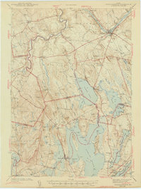
 1894 Norridgewock1894 Print · USGSSomerset and Kennebec counties are shown at the height of the Victorian era, characterized by an intricate network of glacial lakes and river ferries. Genealogists can trace early homesteads and transport points like Davis Ferry, Belgrade Mills, and South Norridgewock.
 - 1898 Map of Norridgewock
 1898 Norridgewock1898 Print · USGSSomerset and Kennebec Counties are shown here during the late Victorian era as the river-and-rail economy thrived. Genealogists can trace family holdings and old crossings like Davis Ferry, Belgrade Mills, and the historic village of Norridgewock.5 unique versions available
 - 1943 Map of Norridgewock
 1943 Norridgewock1943 Print · USGSSomerset and Kennebec counties are shown here just after the start of the war, when the Maine Central railroad still connected these rural river towns. Researchers can locate specific family landmarks including the Whitehouse Cem, Hersom Sch, and the Norridgewock Rearing Pool.3 unique versions available
 - 1948 Map of Bangor
 1948 Bangor1948 Print · USGSThe Maine coast and its industrial river valleys are captured here shortly after the war, showing the vital shipping and rail hubs of the late 1940s. Genealogists and historians can trace the tracks of the Maine Central RR connecting Bangor, Augusta, and Old Town.
 - 1956 Map of Norridgewock, 1958 Print
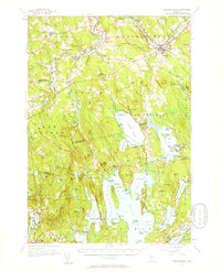 1956 Norridgewock1958 Print · USGSSomerset and Kennebec counties are shown here in the mid-1950s, centered on the river convergence at Norridgewock. Genealogists and historians can trace local school districts like Whittier Sch and explore lakefront landmarks including Camp Abena and The Serpentine.3 unique versions available
 - 1956 Map of Bangor, 1966 Print
 1956 Bangor1966 Print · USGSMid-century Maine comes alive in this survey of the rugged coast and river valleys during the 1950s. Genealogists and historians can trace the vital rail corridors of the Maine Central RR connecting timber towns like Old Town to the coast at Bar Harbor.3 unique versions available
 - 1960 Map of Bangor
 1960 Bangor1960 Print · USGSCentral Maine in the sixties reveals a landscape of river-powered industry and sprawling coastal island chains. Researchers can trace the rail corridors of the Maine Central or locate mid-century aviation landmarks like Dow Air Force Base.
 - 1961 Map of Bangor
 1961 Bangor1961 Print · USGSMid-century Maine comes alive through its busy river ports and rocky archipelagoes during a period of steady maritime and rail commerce. Researchers can trace the path of the Maine Central railroad and locate coastal landmarks from Acadia National Park to Vinalhaven Island.
 - 1975 Map of Norridgewock NW, 1980 Print
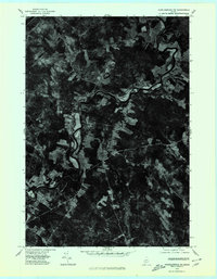 1975 Norridgewock NW1980 Print · USGSCentral Maine in the mid-seventies is revealed through this detailed orthophoto of the winding Sandy River valley. Genealogists and historians can trace the rural layouts of Starks and Mercer or locate homesteads along Bog Stream.
 - 1982 Map of Mercer, 1983 Print
 1982 Mercer1983 Print · USGSSomerset County's rural river valleys are shown in detail during the late twentieth century as traditional crossroads communities remained the focus of local life. Researchers can locate family burial sites like Hampshire Hill Cem or trace the early footprint of Beech Hill Airport and Starks Ch.
 - 1985 Map of Skowhegan, 1986 Print
 1985 Skowhegan1986 Print · USGSCentral Maine in the mid-eighties shows a landscape of river-driven industry and rural crossroads. Genealogists can trace family names and farmsteads near Lake George or along the Maine Central Railroad through Pittsfield and Burnham.2 unique versions available
 - 2011 Map of Mercer, 2011 Print
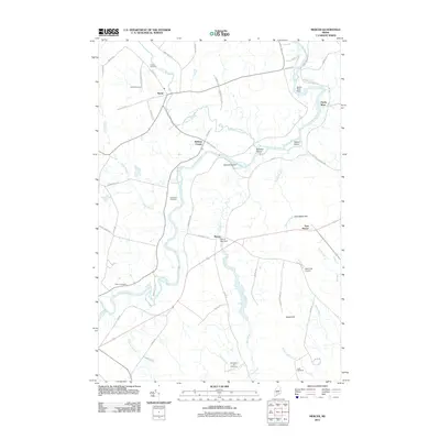 2011 Mercer2011 Print · USGSCovers East Mercer, including Norridgewock, New Sharon, and other nearby areas
 - 2014 Map of Mercer, 2014 Print
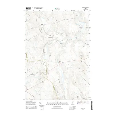 2014 Mercer2014 Print · USGSCovers East Mercer, including Norridgewock, New Sharon, and other nearby areas
 - 2018 Map of Mercer, 2018 Print
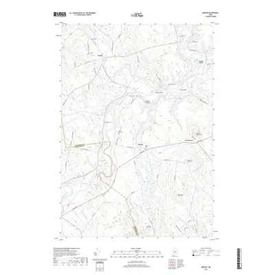 2018 Mercer2018 Print · USGSCovers East Mercer, including Norridgewock, New Sharon, and other nearby areas
 - 2021 Map of Mercer, 2021 Print
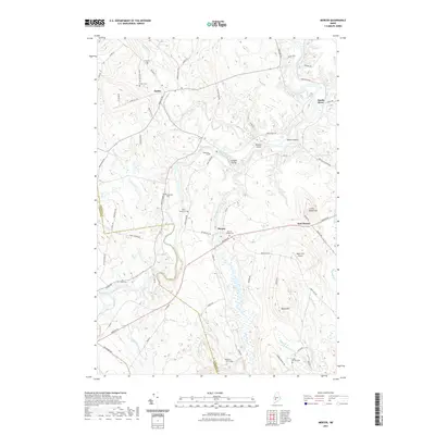 2021 Mercer2021 Print · USGSCovers East Mercer, including Norridgewock, New Sharon, and other nearby areas
 - 2024 Map of Mercer, 2024 Print
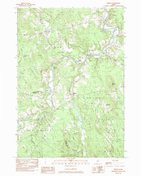
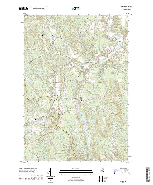 2024 Mercer2024 Print · USGSThe Sandy River valley of Somerset County is captured here in the 2020s, showcasing the persistent rural character of Starks and Mercer. Researchers can trace old family burial sites like Hampshire Hill Cem and landmarks such as Little Beech Hill.
End of results
Showing maps 1-16 of 16
Frequently asked questions
- What are the different types of historical maps available for East Mercer?
- What is the oldest map of East Mercer?
- Where can I purchase historical maps of East Mercer for my home or office?
- Where can I download high-res historical maps of East Mercer?
- Are there historical topographic maps available for East Mercer?
- Is there historical aerial imagery available for East Mercer?
- Where are historical maps of East Mercer sourced from?