Old Maps of Algoma Township, Michigan
Explore 32 old maps of Algoma Township, spanning from 1918 to today. These high-resolution historic maps reveal how streets, neighborhoods, landmarks, and natural features evolved over time — perfect for genealogy, metal detecting, research, and local history exploration.
What you can do with these maps:
- See how Algoma Township changed over time: Compare historical maps to modern-day views to trace roads, homesites, rail lines & more.
- View detailed metadata: Each map includes creators, publishers, year, scale, and archive source.
- Overlay maps with satellite & LiDAR: Visualize the past alongside modern tools to explore terrain & human change.
- Trusted historical sources: Maps sourced from the USGS, Library of Congress, and other archives.
- Access maps your way: View online, download high-res files, or order prints for personal or research use.
Start exploring old maps of Algoma Township to uncover forgotten places, hidden landmarks, and the deep history beneath your feet.
Algoma Township, MI maps
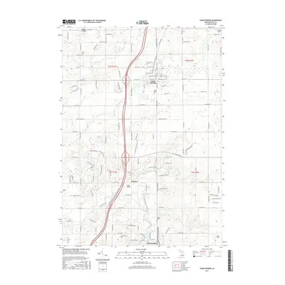
(32)- 1918 Map of Cedar Springs
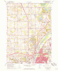
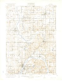 1918 Cedar Springs1918 Print · USGSKent County north of Grand Rapids is shown here during the First World War, when railroads and small-town commerce linked the rural townships. Genealogists can trace family landmarks and schools like Block Tavern School, Soldiers Home, and the milling sites at Raines Mill.3 unique versions available
 - 1943 Map of Cedar Springs
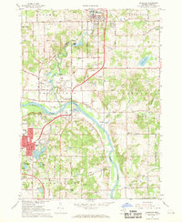
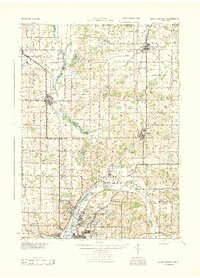 1943 Cedar Springs1943 Print · USGSKent County during the early 1940s reveals a thriving network of rail-side towns and rural school districts before postwar expansion changed the landscape. Genealogists and historians can trace family locations near Christian Hill Sch, Childsdale, and the numerous family-named landmarks like Johnston Corners.
 - 1954 Map of Midland, 1967 Print
 1954 Midland1967 Print · USGSMid-Michigan at the peak of the post-war era shows a landscape balancing industrial growth in Midland with the deep timberlands of the Manistee National Forest. Researchers can trace the legacy of the timber and rail era along the Pennsylvania RR or find family roots in river towns like Chesaning and Big Rapids.4 unique versions available
 - 1958 Map of Midland
 1958 Midland1958 Print · USGSCentral Michigan in the late fifties is captured here during a period of transition for its university towns and industrial hubs. Genealogists and researchers can trace family lines through old rail-stop towns like Breckenridge and Chesaning or locate property near the Muskegon River and Prairie Farm.
 - 1959 Map of Midland
 1959 Midland1959 Print · USGSMid-century Michigan comes alive in this survey of the central Lower Peninsula, from the streets of Grand Rapids to the Houghton Lake timberlands. Genealogists and rail fans can trace the Ann Arbor RR and Chesapeake and Ohio RR through towns like Big Rapids and Mount Pleasant.
 - 1966 Map of Midland
 1966 Midland1966 Print · USGSCentral Michigan in the mid-1960s shows a landscape of growing manufacturing hubs and active resource extraction. Genealogists and historians can trace the rail corridors of the Grand Trunk Western or locate family-named landmarks near Oil wells and the Muskegon River.
 - 1967 Map of Sparta, 1969 Print
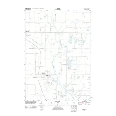
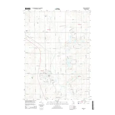
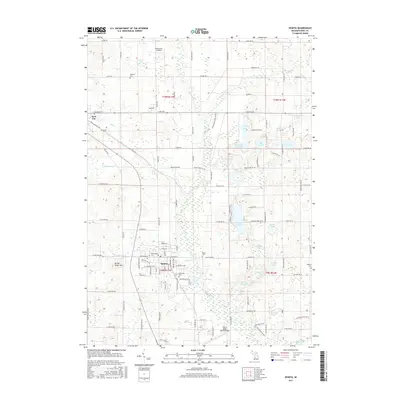
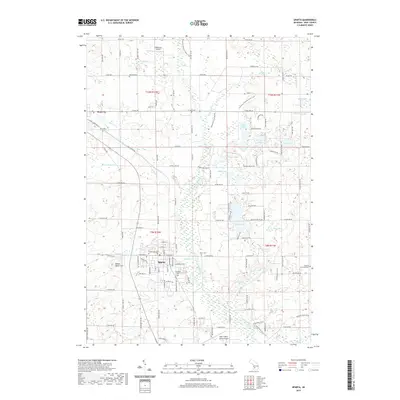
 1967 Sparta1969 Print · USGSKent County during the late sixties shows a landscape of small farms and lakeside communities connected by the Chesapeake and Ohio Railroad. Trace local history through Idlewild Cem, Christian Hill Sch, and the Sparta Airport.2 unique versions available
 - 1967 Map of Cedar Springs, 1969 Print
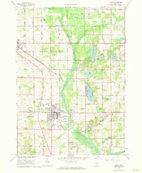
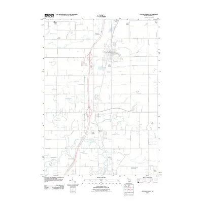
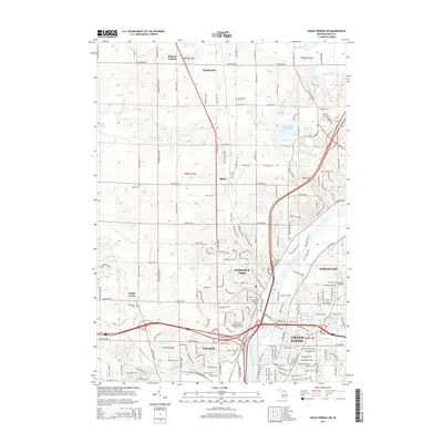
 1967 Cedar Springs1969 Print · USGSNorthern Kent County in the late sixties reveals a network of railroad towns and farming townships connected by a strict section-line grid. Researchers can trace the Penn Central line through Cedar Springs, locate family plots at Punches Cem, and find old school sites like Algoma Sch.2 unique versions available
 - 1967 Map of Cedar Springs SW, 1969 Print
 1967 Cedar Springs SW1969 Print · USGSThe northern edges of Grand Rapids meet the countryside in the late sixties, showing the suburban expansion into Walker and Alpine. Genealogists and historians can trace family plots at Holy Trinity Cem or locate former schoolhouses like Koon Sch and Wheeler Sch.3 unique versions available
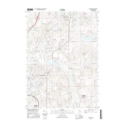
 - 1967 Map of Rockford, 1969 Print
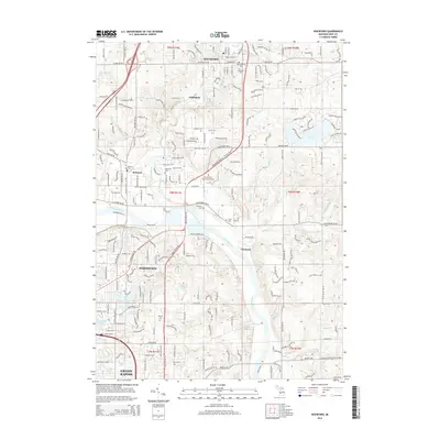
 1967 Rockford1969 Print · USGSThe Rogue and Grand Rivers meet in this 1960s portrait of Kent County as it transitioned from rural townships to growing suburbs. Trace local roots at Rockford Cem, Childsdale, and the old Egypt Valley Sch.3 unique versions available
 - 1985 Map of Cedar Springs
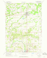
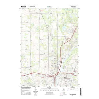
 1985 Cedar Springs1985 Print · USGSThe northern reaches of the Grand Rapids metro area meet the forests of the Manistee during the mid-eighties. Genealogists and historians can trace the paths of the Grand Trunk Western RR through Sparta or locate rural landmarks near Cedar Springs and Rockford.
 - 1986 Map of Cedar Springs, 1989 Print
 1986 Cedar Springs1989 Print · USGSThe northern suburbs of Grand Rapids meet the Manistee National Forest in the mid-1980s. Genealogists and historians can trace the rail-side growth of Howard City, Rockford, and Greenville along the C & O RR and Flat River.
 - 2011 Map of Cedar Springs SW, 2011 Print
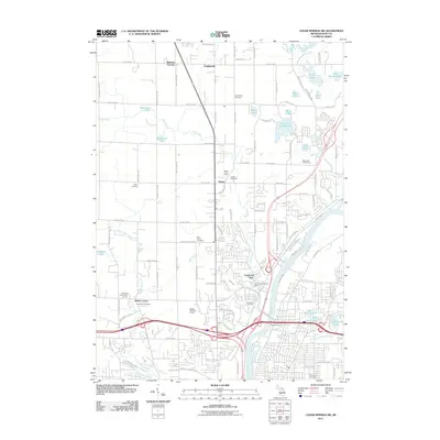 2011 Cedar Springs SW2011 Print · USGSCovers Algoma Township, including Grand Rapids, Plainfield Charter Township, and other nearby areas
 - 2011 Map of Rockford, 2011 Print
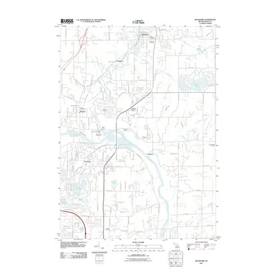 2011 Rockford2011 Print · USGSCovers Algoma Township, including Grand Rapids, Plainfield Charter Township, and other nearby areas
 - 2011 Map of Sparta, 2011 Print
 2011 Sparta2011 Print · USGSCovers Algoma Township, including Sparta, Kent City, and other nearby areas
 - 2011 Map of Cedar Springs, 2011 Print
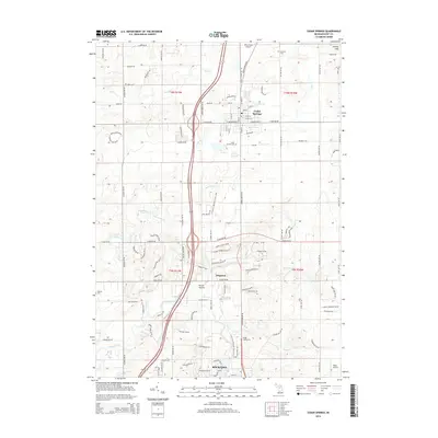
 2011 Cedar Springs2011 Print · USGSCovers Algoma Township, including Rockford, Cedar Springs, and other nearby areas
 - 2014 Map of Sparta, 2014 Print
 2014 Sparta2014 Print · USGSCovers Algoma Township, including Sparta, Kent City, and other nearby areas
 - 2014 Map of Rockford, 2014 Print
 2014 Rockford2014 Print · USGSCovers Algoma Township, including Grand Rapids, Plainfield Charter Township, and other nearby areas
 - 2014 Map of Cedar Springs SW, 2014 Print
 2014 Cedar Springs SW2014 Print · USGSCovers Algoma Township, including Grand Rapids, Plainfield Charter Township, and other nearby areas
 - 2014 Map of Cedar Springs, 2014 Print
 2014 Cedar Springs2014 Print · USGSCovers Algoma Township, including Rockford, Cedar Springs, and other nearby areas
 - 2017 Map of Sparta, 2017 Print
 2017 Sparta2017 Print · USGSCovers Algoma Township, including Sparta, Kent City, and other nearby areas
 - 2017 Map of Cedar Springs SW, 2017 Print
 2017 Cedar Springs SW2017 Print · USGSCovers Algoma Township, including Grand Rapids, Plainfield Charter Township, and other nearby areas
 - 2017 Map of Cedar Springs, 2017 Print
 2017 Cedar Springs2017 Print · USGSCovers Algoma Township, including Rockford, Cedar Springs, and other nearby areas
 - 2017 Map of Rockford, 2017 Print
 2017 Rockford2017 Print · USGSCovers Algoma Township, including Grand Rapids, Plainfield Charter Township, and other nearby areas
 - 2019 Map of Sparta, 2019 Print
 2019 Sparta2019 Print · USGSCovers Algoma Township, including Sparta, Kent City, and other nearby areas
Showing maps 1-25 of 32
Top cities near Algoma Township
- Grand Rapids historical maps
- Wyoming historical maps
- Kentwood historical maps
- Plainfield Charter Township historical maps
- Walker historical maps
- Cascade Charter Township historical maps
See more
Top neighborhoods of Algoma Township
Frequently asked questions
- What are the different types of historical maps available for Algoma Township?
- What is the oldest map of Algoma Township?
- Where can I purchase historical maps of Algoma Township for my home or office?
- Where can I download high-res historical maps of Algoma Township?
- Are there historical topographic maps available for Algoma Township?
- Is there historical aerial imagery available for Algoma Township?
- Where are historical maps of Algoma Township sourced from?