Old Maps of Hill Township, Michigan
Explore 31 old maps of Hill Township, spanning from 1954 to today. These high-resolution historic maps reveal how streets, neighborhoods, landmarks, and natural features evolved over time — perfect for genealogy, metal detecting, research, and local history exploration.
What you can do with these maps:
- See how Hill Township changed over time: Compare historical maps to modern-day views to trace roads, homesites, rail lines & more.
- View detailed metadata: Each map includes creators, publishers, year, scale, and archive source.
- Overlay maps with satellite & LiDAR: Visualize the past alongside modern tools to explore terrain & human change.
- Trusted historical sources: Maps sourced from the USGS, Library of Congress, and other archives.
- Access maps your way: View online, download high-res files, or order prints for personal or research use.
Start exploring old maps of Hill Township to uncover forgotten places, hidden landmarks, and the deep history beneath your feet.
Hill Township, MI maps
(31)- 1954 Map of Traverse City, 1965 Print
 1954 Traverse City1965 Print · USGSNorthern Michigan’s vast lakeshores and timberlands are captured here in the mid-fifties, showing the region before the modern interstate era. Genealogists and researchers can trace rail connections like the Detroit and Mackinac RR or find old communities such as Suttons Bay, Elk Rapids, and Prudenville.4 unique versions available
 - 1954 Map of Tawas City, 1968 Print
 1954 Tawas City1968 Print · USGSCoastal life along Lake Huron was defined by a mix of military aviation and hydroelectric power in the mid-fifties. Researchers can trace the river dams like Cooke Dam, the layout of Wurtsmith AFB, and the coastal mining operations at Alabaster.4 unique versions available
 - 1958 Map of Traverse City
 1958 Traverse City1958 Print · USGSNorthern Lower Michigan was a landscape of vast state forests and burgeoning lakeside retreats in the late fifties. Genealogists and historians can trace the rail corridors of the Ann Arbor RR and find established settlements from Elk Rapids to Houghton Lake.2 unique versions available
 - 1958 Map of Tawas City
 1958 Tawas City1958 Print · USGSThe Lake Huron shoreline and northern Michigan timberlands come into focus in the late fifties, during the expansion of the Cold War. Genealogists and historians can trace rail lines like the Detroit and Mackinac, find regional landmarks like the Lumbermans Memorial Monument, and locate coastal facilities including Wurtsmith AFB.2 unique versions available
 - 1965 Map of Selkirk, 1966 Print
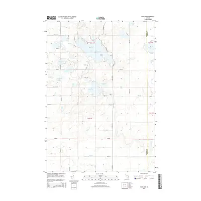
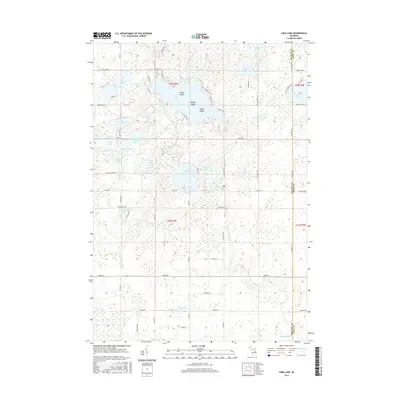
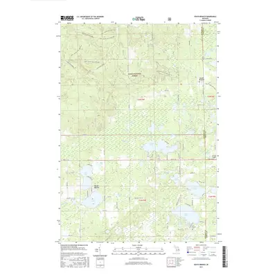
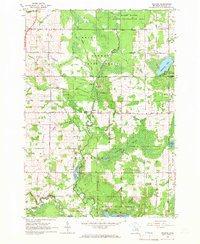 1965 Selkirk1966 Print · USGSIn the mid-1960s, this portion of Ogemaw County was a mix of protected state forests and active rural communities centered on the Rifle River. Researchers can trace the locations of many local institutions, including Selkirk, Churchill Sch, and several Aboriginal Earthworks.2 unique versions available
 - 1965 Map of Rose City, 1967 Print
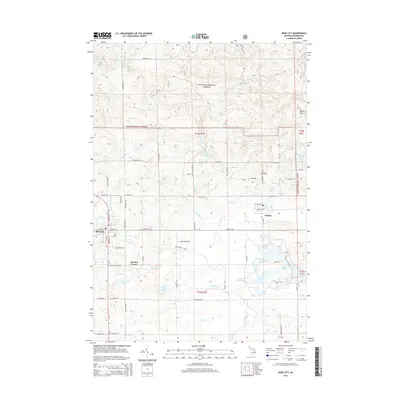
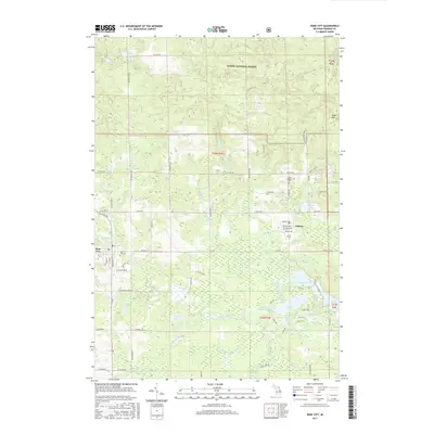
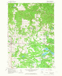 1965 Rose City1967 Print · USGSOgemaw County thrived as a destination for forestry and recreation in the mid-sixties, centered on the growing community of Rose City. Local historians can trace family-named sites like Fayettes Corner, explore the Old Railroad Grade, and locate the Lane Heights Cem near Lupton.3 unique versions available
 - 1968 Map of Sage Lake, 1971 Print
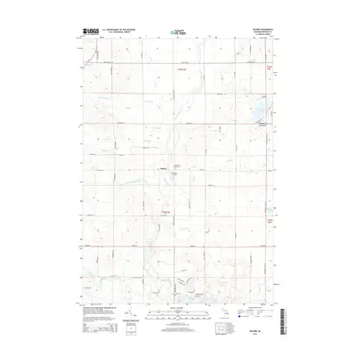
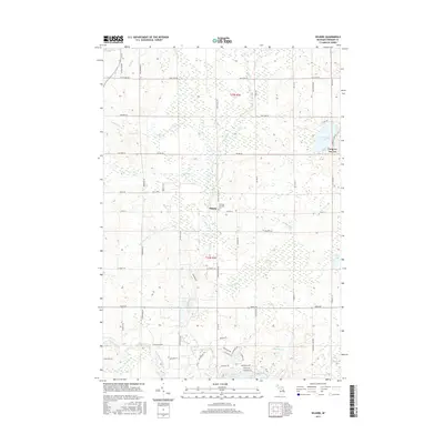
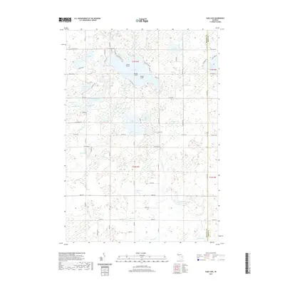
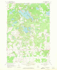 1968 Sage Lake1971 Print · USGSThe Ogemaw and Iosco county line area comes to life in the late 1960s, showing a landscape defined by the expansive Sage Lake and the Ogemaw State Forest. Genealogists and local historians can trace family locations near Logan Corners, Logan Cemetery, and the Church of the Nazarene.
 - 1968 Map of South Branch, 1971 Print
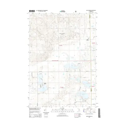
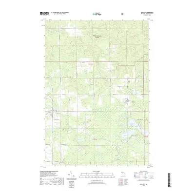
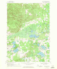 1968 South Branch1971 Print · USGSOgemaw County in the late sixties reveals a landscape of dense state and national forests and numerous glacial lakes. Genealogists and historians can locate South Branch and Goodar, trace the South Branch Au Sable River, and find the Oak Grove Cem.2 unique versions available
 - 1983 Map of Houghton Lake, 1984 Print
 1983 Houghton Lake1984 Print · USGSIn the early 1980s, the Michigan heartland around Houghton Lake was a patchwork of state forest and growing lakeside resorts. Genealogists and historians can trace the development of communities like West Branch and Rose City alongside landmarks like Roscommon County Airfield.
 - 1984 Map of Tawas City, 1985 Print
 1984 Tawas City1985 Print · USGSNortheast Michigan's shoreline and forest interior are captured here in the mid-eighties, from the active runways of Wurtsmith Air Force Base to the quiet waters of Tawas Bay. Genealogists and local historians can locate rural landmarks like Skunk Sch, the Welcome Church, and the route of the Detroit and Mackinac railroad.3 unique versions available
 - 1989 Map of Traverse City, 1990 Print
 1989 Traverse City1990 Print · USGSNorthern Michigan’s lake-country and forest lands are captured in the late eighties as seasonal tourism and timber hubs expanded. Genealogists and historians can trace the routes of the Ann Arbor RR, the boundaries of Camp Grayling, and settlements like Elk Rapids and Manton.
 - 2011 Map of Sage Lake, 2011 Print
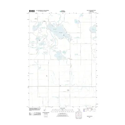 2011 Sage Lake2011 Print · USGSCovers Hill Township, including Logan Township, Plainfield Township, and other nearby areas
 - 2011 Map of Selkirk, 2011 Print
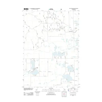
 2011 Selkirk2011 Print · USGSCovers Hill Township, including Cumming Township, Logan Township, and other nearby areas
 - 2012 Map of South Branch, 2012 Print
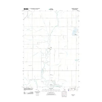
 2012 South Branch2012 Print · USGSCovers Hill Township, including Shady Shores, Goodar Township, and other nearby areas
 - 2012 Map of Rose City, 2012 Print
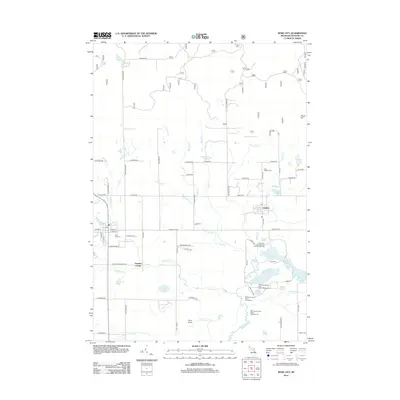 2012 Rose City2012 Print · USGSCovers Hill Township, including Rose City, Cumming Township, and other nearby areas
 - 2014 Map of Selkirk, 2014 Print
 2014 Selkirk2014 Print · USGSCovers Hill Township, including Cumming Township, Logan Township, and other nearby areas
 - 2014 Map of Rose City, 2014 Print
 2014 Rose City2014 Print · USGSCovers Hill Township, including Rose City, Cumming Township, and other nearby areas
 - 2014 Map of Sage Lake, 2014 Print
 2014 Sage Lake2014 Print · USGSCovers Hill Township, including Logan Township, Plainfield Township, and other nearby areas
 - 2014 Map of South Branch, 2014 Print
 2014 South Branch2014 Print · USGSCovers Hill Township, including Shady Shores, Goodar Township, and other nearby areas
 - 2017 Map of Sage Lake, 2017 Print
 2017 Sage Lake2017 Print · USGSCovers Hill Township, including Logan Township, Plainfield Township, and other nearby areas
 - 2017 Map of South Branch, 2017 Print
 2017 South Branch2017 Print · USGSCovers Hill Township, including Shady Shores, Goodar Township, and other nearby areas
 - 2017 Map of Rose City, 2017 Print
 2017 Rose City2017 Print · USGSCovers Hill Township, including Rose City, Cumming Township, and other nearby areas
 - 2017 Map of Selkirk, 2017 Print
 2017 Selkirk2017 Print · USGSCovers Hill Township, including Cumming Township, Logan Township, and other nearby areas
 - 2019 Map of Sage Lake, 2019 Print
 2019 Sage Lake2019 Print · USGSCovers Hill Township, including Logan Township, Plainfield Township, and other nearby areas
 - 2019 Map of Rose City, 2019 Print
 2019 Rose City2019 Print · USGSCovers Hill Township, including Rose City, Cumming Township, and other nearby areas
Showing maps 1-25 of 31
Top cities near Hill Township
- Skidway Lake historical maps
- Rose City historical maps
- Goodar historical maps
- Whittemore historical maps
- Prescott historical maps
Top neighborhoods of Hill Township
Frequently asked questions
- What are the different types of historical maps available for Hill Township?
- What is the oldest map of Hill Township?
- Where can I purchase historical maps of Hill Township for my home or office?
- Where can I download high-res historical maps of Hill Township?
- Are there historical topographic maps available for Hill Township?
- Is there historical aerial imagery available for Hill Township?
- Where are historical maps of Hill Township sourced from?