Old Maps of West Branch, Michigan
Explore 16 old maps of West Branch, spanning from 1954 to today. These high-resolution historic maps reveal how streets, neighborhoods, landmarks, and natural features evolved over time — perfect for genealogy, metal detecting, research, and local history exploration.
What you can do with these maps:
- See how West Branch changed over time: Compare historical maps to modern-day views to trace roads, homesites, rail lines & more.
- View detailed metadata: Each map includes creators, publishers, year, scale, and archive source.
- Overlay maps with satellite & LiDAR: Visualize the past alongside modern tools to explore terrain & human change.
- Trusted historical sources: Maps sourced from the USGS, Library of Congress, and other archives.
- Access maps your way: View online, download high-res files, or order prints for personal or research use.
Start exploring old maps of West Branch to uncover forgotten places, hidden landmarks, and the deep history beneath your feet.
West Branch, MI maps
(16)- 1954 Map of Traverse City, 1965 Print
 1954 Traverse City1965 Print · USGSNorthern Michigan’s vast lakeshores and timberlands are captured here in the mid-fifties, showing the region before the modern interstate era. Genealogists and researchers can trace rail connections like the Detroit and Mackinac RR or find old communities such as Suttons Bay, Elk Rapids, and Prudenville.4 unique versions available
 - 1958 Map of Traverse City
 1958 Traverse City1958 Print · USGSNorthern Lower Michigan was a landscape of vast state forests and burgeoning lakeside retreats in the late fifties. Genealogists and historians can trace the rail corridors of the Ann Arbor RR and find established settlements from Elk Rapids to Houghton Lake.2 unique versions available
 - 1965 Map of West Branch, 1966 Print
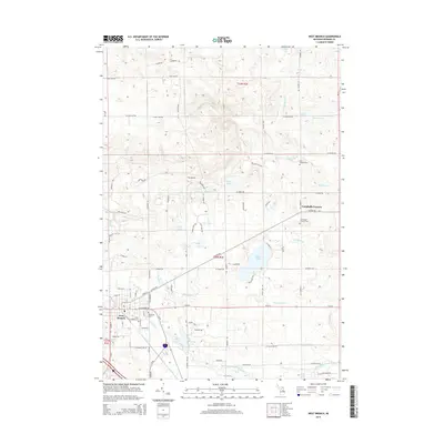
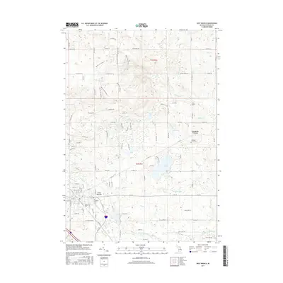
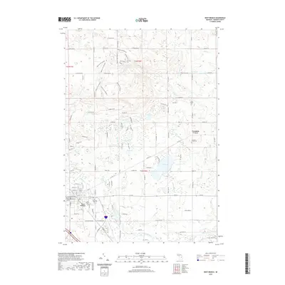
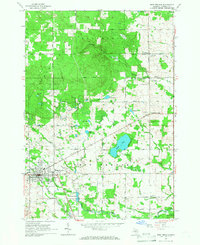 1965 West Branch1966 Print · USGSThe Ogemaw County seat and its rural surroundings are captured in the mid-1960s as the rail and river networks defined local life. Trace family roots at St Josephs Cem, locate the old Miller Sch, or explore the tracks of the New York Central railroad.3 unique versions available
 - 1965 Map of Ogemaw Springs, 1966 Print
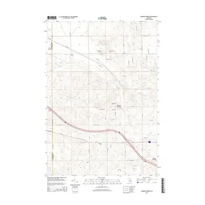
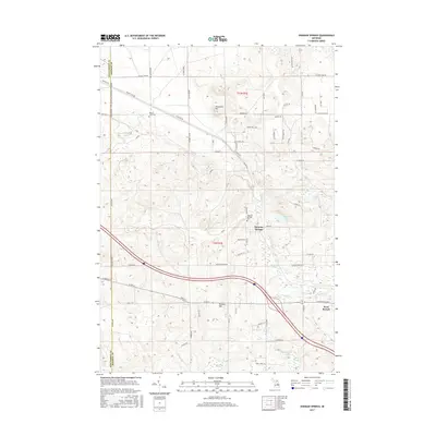
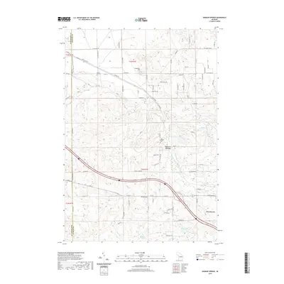
 1965 Ogemaw Springs1966 Print · USGSOgemaw County in the mid-1960s reveals a landscape of state forests, rail lines, and scattered rural landmarks. Genealogists and local historians can locate the Beaver Lake Cem, the Pleasant Hill Sch, and a notable Indian Mound near Ogemaw Springs.2 unique versions available
 - 1983 Map of Houghton Lake, 1984 Print
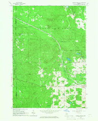
 1983 Houghton Lake1984 Print · USGSIn the early 1980s, the Michigan heartland around Houghton Lake was a patchwork of state forest and growing lakeside resorts. Genealogists and historians can trace the development of communities like West Branch and Rose City alongside landmarks like Roscommon County Airfield.
 - 1989 Map of Traverse City, 1990 Print
 1989 Traverse City1990 Print · USGSNorthern Michigan’s lake-country and forest lands are captured in the late eighties as seasonal tourism and timber hubs expanded. Genealogists and historians can trace the routes of the Ann Arbor RR, the boundaries of Camp Grayling, and settlements like Elk Rapids and Manton.
 - 2011 Map of Ogemaw Springs, 2011 Print
 2011 Ogemaw Springs2011 Print · USGSCovers West Branch, including Foster Township, Richfield Township, and other nearby areas
 - 2011 Map of West Branch, 2011 Print
 2011 West Branch2011 Print · USGSCovers West Branch, including Cumming Township, Klacking Township, and other nearby areas
 - 2014 Map of Ogemaw Springs, 2014 Print
 2014 Ogemaw Springs2014 Print · USGSCovers West Branch, including Foster Township, Richfield Township, and other nearby areas
 - 2014 Map of West Branch, 2014 Print
 2014 West Branch2014 Print · USGSCovers West Branch, including Cumming Township, Klacking Township, and other nearby areas
 - 2017 Map of West Branch, 2017 Print
 2017 West Branch2017 Print · USGSCovers West Branch, including Cumming Township, Klacking Township, and other nearby areas
 - 2017 Map of Ogemaw Springs, 2017 Print
 2017 Ogemaw Springs2017 Print · USGSCovers West Branch, including Foster Township, Richfield Township, and other nearby areas
 - 2019 Map of Ogemaw Springs, 2019 Print
 2019 Ogemaw Springs2019 Print · USGSCovers West Branch, including Foster Township, Richfield Township, and other nearby areas
 - 2019 Map of West Branch, 2019 Print
 2019 West Branch2019 Print · USGSCovers West Branch, including Cumming Township, Klacking Township, and other nearby areas
 - 2023 Map of Ogemaw Springs, 2023 Print
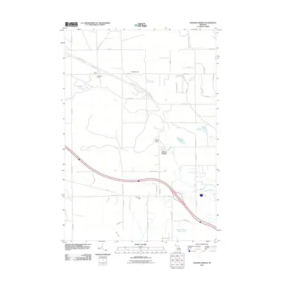
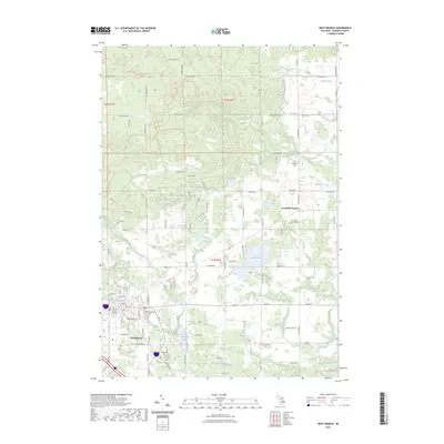
 2023 Ogemaw Springs2023 Print · USGSOgemaw County in the early 2020s shows a balance of conservation land and rural development along the corridor between St. Helen and West Branch. Trace local landmarks like Ogemaw Springs, Beaver Lake Cem, and the expansive Kirtlands Warbler WMA.
 - 2023 Map of West Branch, 2023 Print
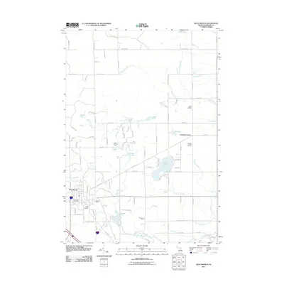
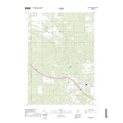
 2023 West Branch2023 Print · USGSWest Branch and the surrounding Ogemaw County highlands are shown here in the early 2020s, highlighting a landscape shaped by the Rifle River. Genealogists can locate Brookside Cem and Campbells Corners Cem, while outdoor enthusiasts can trace the Ogemaw Hills Pathway Trl.
End of results
Showing maps 1-16 of 16
Top cities near West Branch
- Skidway Lake historical maps
- Saint Helen historical maps
- Edwards historical maps
- Rose City historical maps
Frequently asked questions
- What are the different types of historical maps available for West Branch?
- What is the oldest map of West Branch?
- Where can I purchase historical maps of West Branch for my home or office?
- Where can I download high-res historical maps of West Branch?
- Are there historical topographic maps available for West Branch?
- Is there historical aerial imagery available for West Branch?
- Where are historical maps of West Branch sourced from?