Old Maps of Lismore Hutterite Colony, Minnesota
Explore 10 old maps of Lismore Hutterite Colony, spanning from 1953 to today. These high-resolution historic maps reveal how streets, neighborhoods, landmarks, and natural features evolved over time — perfect for genealogy, metal detecting, research, and local history exploration.
What you can do with these maps:
- See how Lismore Hutterite Colony changed over time: Compare historical maps to modern-day views to trace roads, homesites, rail lines & more.
- View detailed metadata: Each map includes creators, publishers, year, scale, and archive source.
- Overlay maps with satellite & LiDAR: Visualize the past alongside modern tools to explore terrain & human change.
- Trusted historical sources: Maps sourced from the USGS, Library of Congress, and other archives.
- Access maps your way: View online, download high-res files, or order prints for personal or research use.
Start exploring old maps of Lismore Hutterite Colony to uncover forgotten places, hidden landmarks, and the deep history beneath your feet.
Lismore Hutterite Colony, MN maps
(10)- 1953 Map of Milbank, 1958 Print
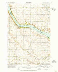
 1953 Milbank1958 Print · USGSThe tri-state border region of South Dakota, North Dakota, and Minnesota is shown here during the early fifties, a landscape defined by glacial lakes and the Sisseton Indian Reservation. Researchers can trace the legacy of the western railroads, locating old stops along the Great Northern and settlements like Milbank, Webster, and Sisseton.3 unique versions available
 - 1954 Map of Big Stone Lake, 1956 Print
 1954 Big Stone Lake1956 Print · USGSThe borderlands of Roberts County and Minnesota come into focus in the mid-1950s as rural school districts began to fade from the prairie. Trace the disappearance of early education at Golden Prairie Sch and School No 19, or locate family plots at Lakeside Cem and Effm Cem.2 unique versions available
 - 1958 Map of Milbank
 1958 Milbank1958 Print · USGSThe northern Great Plains in the late fifties show a landscape of glacial lakes and reservation lands shaped by the Great Northern railroad. Genealogists and local historians can trace the grid of settlements from Britton to Milbank and locate landmarks like Enemy Swim Lake and the Sisseton Indian Reservation.
 - 1971 Map of Big Stone Lake East, 1974 Print
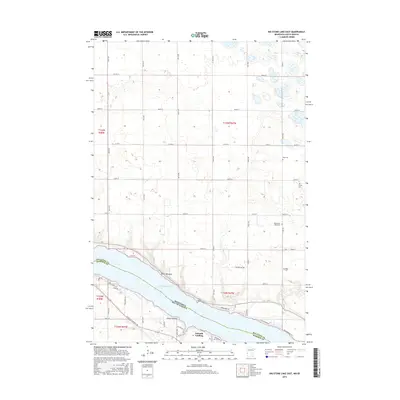
 1971 Big Stone Lake East1974 Print · USGSBig Stone Lake serves as the interstate boundary in the early 1970s, separating the prairie lands of Minnesota and South Dakota. Researchers can locate local cemeteries such as Elim and Lakeside, or trace the development of Schmidt Landing and the Fish Hatchery.
 - 1985 Map of Milbank
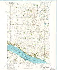
 1985 Milbank1985 Print · USGSThe South Dakota and Minnesota border region comes into focus during the mid-eighties as a hub of prairie lakes and rail transport. Genealogists and researchers can trace the lakeside settlements of Hiawatha Beach, the streets of Milbank, and legacy rail lines like the Burlington Northern.
 - 2010 Map of Big Stone Lake East, 2010 Print
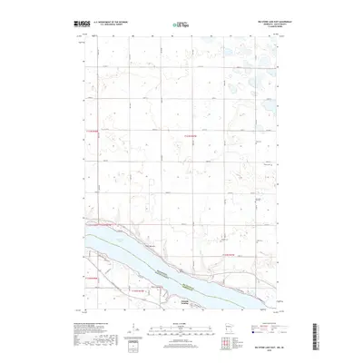
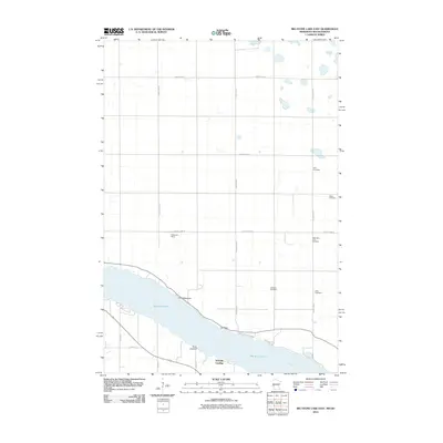 2010 Big Stone Lake East2010 Print · USGSCovers Lismore Hutterite Colony, including Schmidt Landing, Roberts County, and other nearby areas
 - 2013 Map of Big Stone Lake East, 2013 Print
 2013 Big Stone Lake East2013 Print · USGSCovers Lismore Hutterite Colony, including Schmidt Landing, Roberts County, and other nearby areas
 - 2016 Map of Big Stone Lake East, 2016 Print
 2016 Big Stone Lake East2016 Print · USGSCovers Lismore Hutterite Colony, including Schmidt Landing, Roberts County, and other nearby areas
 - 2019 Map of Big Stone Lake East, 2019 Print
 2019 Big Stone Lake East2019 Print · USGSCovers Lismore Hutterite Colony, including Schmidt Landing, Roberts County, and other nearby areas
 - 2022 Map of Big Stone Lake East, 2022 Print
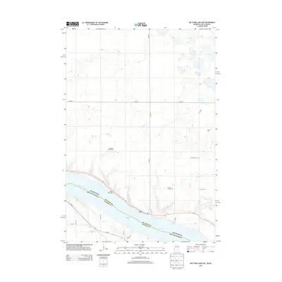
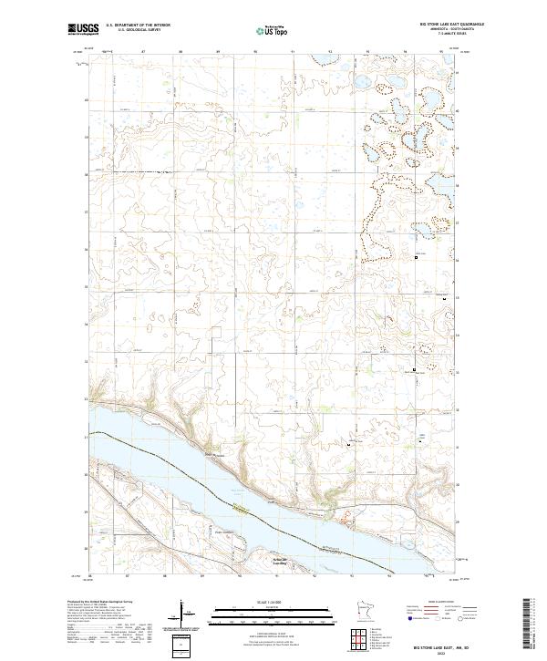 2022 Big Stone Lake East2022 Print · USGSThe eastern shores of Big Stone Lake are captured here in the modern era, showing the intersection of lakeside living and traditional prairie agriculture. Genealogists can trace several local burial sites including Elim Cem, Bailey Cem, and the West Saint Paul Cem.
End of results
Showing maps 1-10 of 10
Top cities near Lismore Hutterite Colony
- Milbank historical maps
- Ortonville historical maps
- Graceville historical maps
- Big Stone City historical maps
- Clinton historical maps
- Beardsley historical maps
See more
Frequently asked questions
- What are the different types of historical maps available for Lismore Hutterite Colony?
- What is the oldest map of Lismore Hutterite Colony?
- Where can I purchase historical maps of Lismore Hutterite Colony for my home or office?
- Where can I download high-res historical maps of Lismore Hutterite Colony?
- Are there historical topographic maps available for Lismore Hutterite Colony?
- Is there historical aerial imagery available for Lismore Hutterite Colony?
- Where are historical maps of Lismore Hutterite Colony sourced from?