Old Maps of Leon Township, Minnesota
Explore 28 old maps of Leon Township, spanning from 1953 to today. These high-resolution historic maps reveal how streets, neighborhoods, landmarks, and natural features evolved over time — perfect for genealogy, metal detecting, research, and local history exploration.
What you can do with these maps:
- See how Leon Township changed over time: Compare historical maps to modern-day views to trace roads, homesites, rail lines & more.
- View detailed metadata: Each map includes creators, publishers, year, scale, and archive source.
- Overlay maps with satellite & LiDAR: Visualize the past alongside modern tools to explore terrain & human change.
- Trusted historical sources: Maps sourced from the USGS, Library of Congress, and other archives.
- Access maps your way: View online, download high-res files, or order prints for personal or research use.
Start exploring old maps of Leon Township to uncover forgotten places, hidden landmarks, and the deep history beneath your feet.
Leon Township, MN maps
(28)- 1953 Map of Saint Paul, 1964 Print
 1953 Saint Paul1964 Print · USGSThe Twin Cities and the Mississippi River valley are captured here at a mid-century turning point. Trace the early growth of Minneapolis and Saint Paul alongside landmarks like Lake Minnetonka and the St Croix River.4 unique versions available
 - 1959 Map of Saint Paul
 1959 Saint Paul1959 Print · USGSThe Twin Cities and southeastern Minnesota appear here in the late fifties, showing the peak of the rail era and post-war suburban growth. Genealogists can trace family footprints near Lake Minnetonka, the Univ Of Minn Rosemount Research Center, or the growing neighborhoods of Richfield.2 unique versions available
 - 1968 Map of Kenyon, 1970 Print
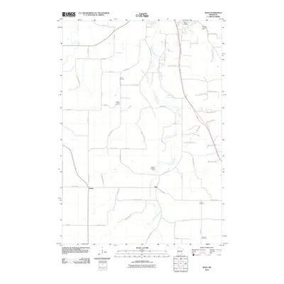
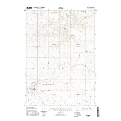
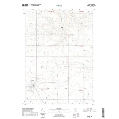
 1968 Kenyon1970 Print · USGSKenyon and the surrounding Goodhue County townships are captured in the late 1960s at a peak of rail activity. Genealogists can trace family sites at Wangs Cem and St Michaels Cem or locate the old Nansen and Bombay settlements.2 unique versions available
 - 1968 Map of Sogn, 1970 Print
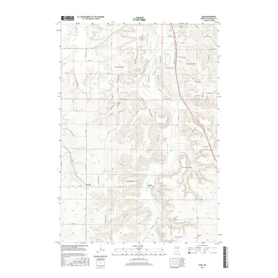
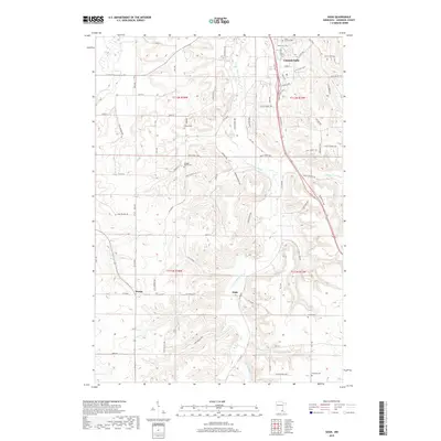
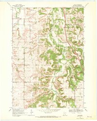 1968 Sogn1970 Print · USGSGoodhue County’s rugged blufflands come into focus in the late sixties, showcasing a landscape of isolated farmsteads and deep river valleys. Genealogists and historians can trace the foundations of rural life through Wangen Prairie Ch, Eidsvold Ch Cem, and the quiet hamlet of Sogn.2 unique versions available
 - 1968 Map of Wanamingo, 1970 Print
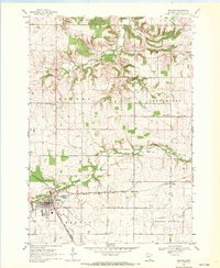
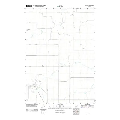
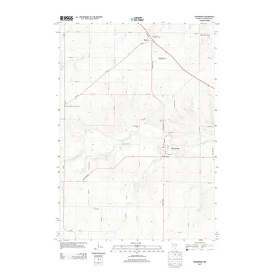
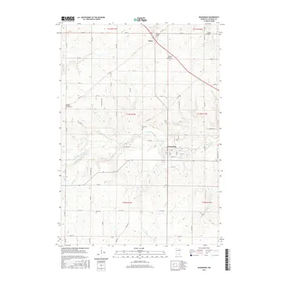
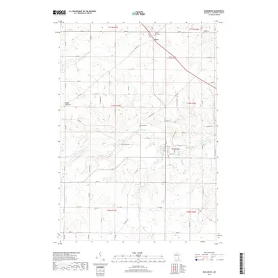
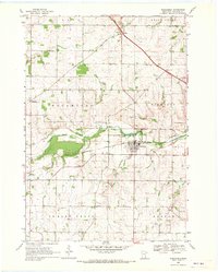 1968 Wanamingo1970 Print · USGSGoodhue County comes into focus in the late sixties as the rail-and-river economy centers on the town of Wanamingo. Local historians can trace family ties at Trinity Cem and Dale Cem, or follow the Chicago Milwaukee St Paul and Pacific railroad through the valley.2 unique versions available
 - 1968 Map of White Rock, 1970 Print
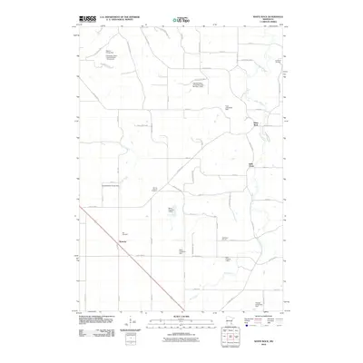
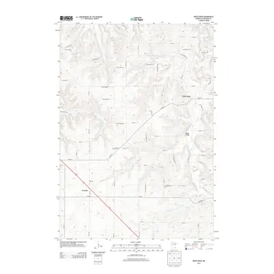
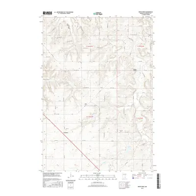
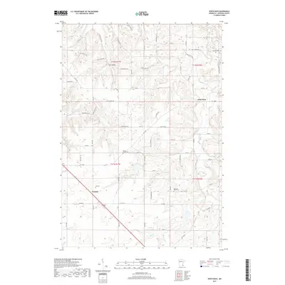
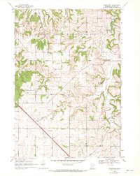 1968 White Rock1970 Print · USGSGoodhue County in the late sixties reveals a landscape of wooded ridges and tight-knit rural communities. Genealogists and local historians can trace the foundations of Wastedo and White Rock, locating specific landmarks like Spring Garden Ch and Wastedo Sch.2 unique versions available
 - 1985 Map of Rochester
 1985 Rochester1985 Print · USGSSoutheastern Minnesota in the mid-eighties centers on the growth of Rochester and its surrounding river valleys. Trace family roots and old rail lines through Mantorville, Pine Island, and along the Mississippi River near Lake Pepin.
 - 1989 Map of Rochester
 1989 Rochester1989 Print · USGSSoutheastern Minnesota and the Mississippi River bluffs are captured here in the late eighties as the region balanced urban growth with its river-and-rail heritage. Researchers can trace the development of Rochester and find smaller rail towns like Kasson, Dodge Center, and Zumbrota.2 unique versions available
 - 2010 Map of Wanamingo, 2010 Print
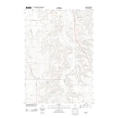
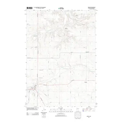
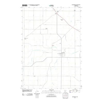 2010 Wanamingo2010 Print · USGSCovers Leon Township, including Wanamingo, Aspelund, and other nearby areas
 - 2010 Map of White Rock, 2010 Print
 2010 White Rock2010 Print · USGSCovers Leon Township, including Belle Creek, Belle Creek Township, and other nearby areas
 - 2010 Map of Kenyon, 2010 Print
 2010 Kenyon2010 Print · USGSCovers Leon Township, including Kenyon, Warsaw Township, and other nearby areas
 - 2010 Map of Sogn, 2010 Print
 2010 Sogn2010 Print · USGSCovers Leon Township, including Cannon Falls, Warsaw Township, and other nearby areas
 - 2013 Map of Sogn, 2013 Print
 2013 Sogn2013 Print · USGSCovers Leon Township, including Cannon Falls, Warsaw Township, and other nearby areas
 - 2013 Map of White Rock, 2013 Print
 2013 White Rock2013 Print · USGSCovers Leon Township, including Belle Creek, Belle Creek Township, and other nearby areas
 - 2013 Map of Kenyon, 2013 Print
 2013 Kenyon2013 Print · USGSCovers Leon Township, including Kenyon, Warsaw Township, and other nearby areas
 - 2013 Map of Wanamingo, 2013 Print
 2013 Wanamingo2013 Print · USGSCovers Leon Township, including Wanamingo, Aspelund, and other nearby areas
 - 2016 Map of White Rock, 2016 Print
 2016 White Rock2016 Print · USGSCovers Leon Township, including Belle Creek, Belle Creek Township, and other nearby areas
 - 2016 Map of Wanamingo, 2016 Print
 2016 Wanamingo2016 Print · USGSCovers Leon Township, including Wanamingo, Aspelund, and other nearby areas
 - 2016 Map of Kenyon, 2016 Print
 2016 Kenyon2016 Print · USGSCovers Leon Township, including Kenyon, Warsaw Township, and other nearby areas
 - 2016 Map of Sogn, 2016 Print
 2016 Sogn2016 Print · USGSCovers Leon Township, including Cannon Falls, Warsaw Township, and other nearby areas
 - 2019 Map of White Rock, 2019 Print
 2019 White Rock2019 Print · USGSCovers Leon Township, including Belle Creek, Belle Creek Township, and other nearby areas
 - 2019 Map of Wanamingo, 2019 Print
 2019 Wanamingo2019 Print · USGSCovers Leon Township, including Wanamingo, Aspelund, and other nearby areas
 - 2019 Map of Kenyon, 2019 Print
 2019 Kenyon2019 Print · USGSCovers Leon Township, including Kenyon, Warsaw Township, and other nearby areas
 - 2019 Map of Sogn, 2019 Print
 2019 Sogn2019 Print · USGSCovers Leon Township, including Cannon Falls, Warsaw Township, and other nearby areas
 - 2022 Map of White Rock, 2022 Print
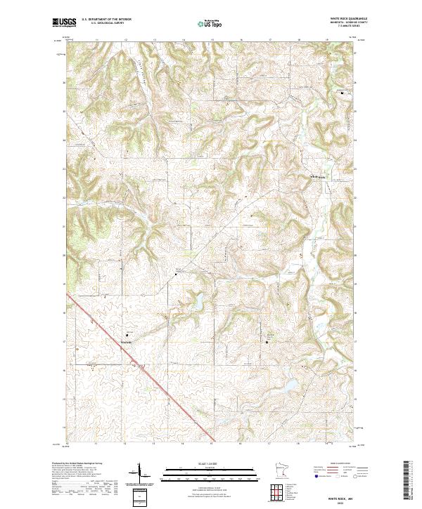 2022 White Rock2022 Print · USGSGoodhue County agriculture and early settlement sites are meticulously detailed in this recent survey of the Minnesota countryside. Local researchers can pinpoint family burial grounds like Spring Garden Cem and trace the paths of Echo Valley Trl and Belle Cr.
Showing maps 1-25 of 28
Top cities near Leon Township
- Red Wing historical maps
- Cannon Falls historical maps
- Pine Island historical maps
- Zumbrota historical maps
- Kenyon historical maps
- Stanton historical maps
See more
Top neighborhoods of Leon Township
Frequently asked questions
- What are the different types of historical maps available for Leon Township?
- What is the oldest map of Leon Township?
- Where can I purchase historical maps of Leon Township for my home or office?
- Where can I download high-res historical maps of Leon Township?
- Are there historical topographic maps available for Leon Township?
- Is there historical aerial imagery available for Leon Township?
- Where are historical maps of Leon Township sourced from?