Old Maps of Rosy, Minnesota
Explore 12 old maps of Rosy, spanning from 1919 to today. These high-resolution historic maps reveal how streets, neighborhoods, landmarks, and natural features evolved over time — perfect for genealogy, metal detecting, research, and local history exploration.
What you can do with these maps:
- See how Rosy changed over time: Compare historical maps to modern-day views to trace roads, homesites, rail lines & more.
- View detailed metadata: Each map includes creators, publishers, year, scale, and archive source.
- Overlay maps with satellite & LiDAR: Visualize the past alongside modern tools to explore terrain & human change.
- Trusted historical sources: Maps sourced from the USGS, Library of Congress, and other archives.
- Access maps your way: View online, download high-res files, or order prints for personal or research use.
Start exploring old maps of Rosy to uncover forgotten places, hidden landmarks, and the deep history beneath your feet.
Rosy, MN maps
(12)- 1919 Map of Rosy
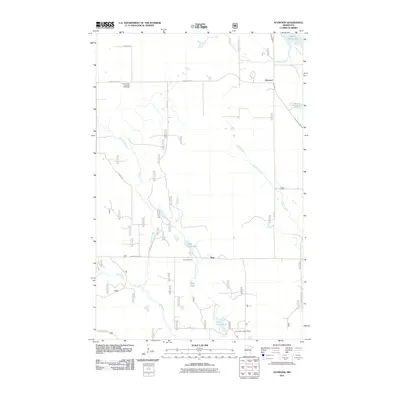
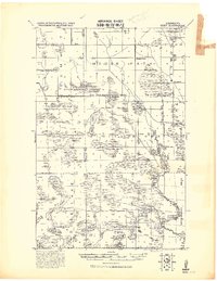 1919 Rosy1919 Print · USGSNorthern Minnesota during the Great War era reveals a landscape of expanding infrastructure and reservation boundaries. Genealogists and researchers can trace local school locations and early settlements like Alvwood, Rosy, and Louis near the Third River.2 unique versions available
 - 1954 Map of Bemidji, 1966 Print
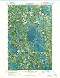
 1954 Bemidji1966 Print · USGSNorthern Minnesota's lake country and timberlands are captured here at a mid-century peak of rail and road expansion. Genealogists and historians can trace family roots through numerous small settlements like Mahnomen, Clearbrook, and Walker, while locating local landmarks such as White Earth Church.4 unique versions available
 - 1957 Map of Bemidji
 1957 Bemidji1957 Print · USGSNorthern Minnesota in the mid-fifties is defined by its massive lake systems and the sprawling timberlands of the Chippewa National Forest. Genealogists and researchers can trace old rail lines like the Great Northern RR and locate settlements such as Moberg, Naytahwaush, and Lake Itasca.
 - 1958 Map of Bemidji
 1958 Bemidji1958 Print · USGSNorthern Minnesota in the late fifties is a vast landscape of tribal lands and timber forests tied together by rail. Genealogists and researchers can trace old rail stops and lakeside communities from Walker to Fosston, or explore the source of the Mississippi at Lake Itasca.
 - 1971 Map of Alvwood, 1974 Print
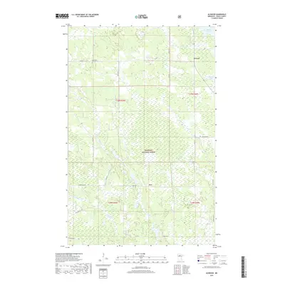
 1971 Alvwood1974 Print · USGSItasca County timberlands and remote waterways are captured in the early seventies through this unique aerial orthophotomap. Researchers can locate the Alvwood settlement, the Dixon Lake Lookout Tower, and the winding course of the Popple River.
 - 1976 Map of Blackduck, 1978 Print
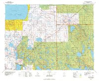 1976 Blackduck1978 Print · USGSNorthern Minnesota's lake country and timberlands are captured here during the mid-seventies, showing the intersection of several state and national forests. Genealogists and historians can trace rail lines like the Burlington Northern and find old lookout sites like the O'Brien Lookout Tower near Blackduck.
 - 1996 Map of Alvwood, 1998 Print
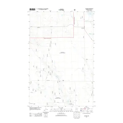
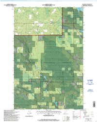 1996 Alvwood1998 Print · USGSItasca County’s northern woods and wetlands are captured in the late nineties, showing a landscape defined by forest management and tribal lands. Genealogists and local historians can trace family sites at Rosy, Alvwood, or the Township Cemetery.
 - 2011 Map of Alvwood, 2011 Print
 2011 Alvwood2011 Print · USGSCovers Rosy, including Alvwood, Itasca County, and other nearby areas
 - 2013 Map of Alvwood, 2013 Print
 2013 Alvwood2013 Print · USGSCovers Rosy, including Alvwood, Itasca County, and other nearby areas
 - 2016 Map of Alvwood, 2016 Print
 2016 Alvwood2016 Print · USGSCovers Rosy, including Alvwood, Itasca County, and other nearby areas
 - 2019 Map of Alvwood, 2019 Print
 2019 Alvwood2019 Print · USGSCovers Rosy, including Alvwood, Itasca County, and other nearby areas
 - 2022 Map of Alvwood, 2022 Print
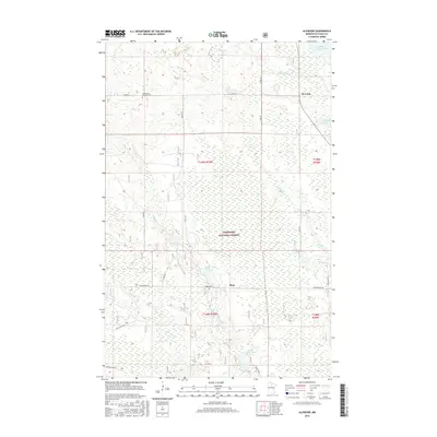
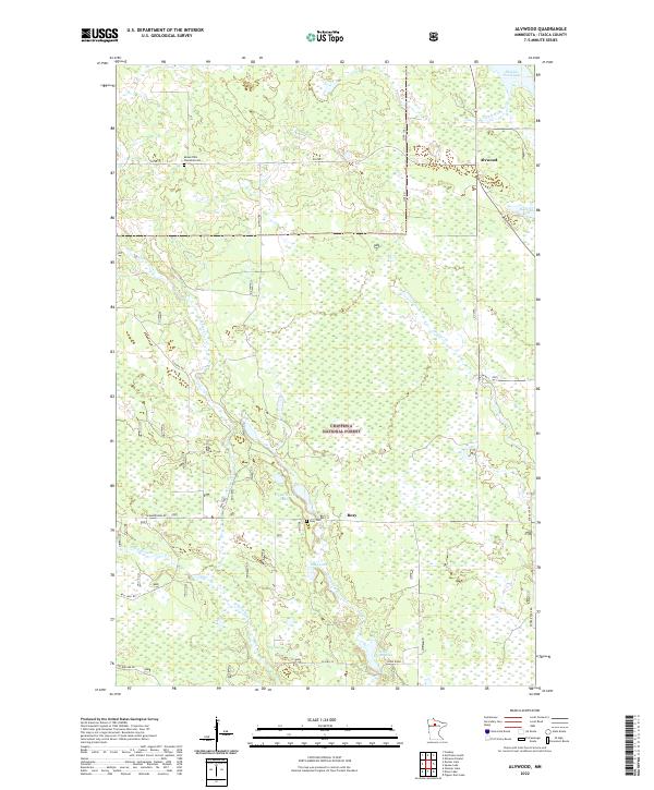 2022 Alvwood2022 Print · USGSItasca County’s Northwoods remain a wilderness of rivers and wetlands in this recent survey of the area around Alvwood and Rosy. Genealogists and local historians can pinpoint the Moose Park Township Cem and trace the winding course of the Third River.
End of results
Showing maps 1-12 of 12
Top cities near Rosy
- Blackduck historical maps
- Northome historical maps
- Shooks historical maps
- Squaw Lake / Gaa-waawiyegamaag historical maps
- Alvwood historical maps
- Funkley historical maps
Frequently asked questions
- What are the different types of historical maps available for Rosy?
- What is the oldest map of Rosy?
- Where can I purchase historical maps of Rosy for my home or office?
- Where can I download high-res historical maps of Rosy?
- Are there historical topographic maps available for Rosy?
- Is there historical aerial imagery available for Rosy?
- Where are historical maps of Rosy sourced from?