Old Maps of Conrad, Montana
Explore 10 old maps of Conrad, spanning from 1920 to today. These high-resolution historic maps reveal how streets, neighborhoods, landmarks, and natural features evolved over time — perfect for genealogy, metal detecting, research, and local history exploration.
What you can do with these maps:
- See how Conrad changed over time: Compare historical maps to modern-day views to trace roads, homesites, rail lines & more.
- View detailed metadata: Each map includes creators, publishers, year, scale, and archive source.
- Overlay maps with satellite & LiDAR: Visualize the past alongside modern tools to explore terrain & human change.
- Trusted historical sources: Maps sourced from the USGS, Library of Congress, and other archives.
- Access maps your way: View online, download high-res files, or order prints for personal or research use.
Start exploring old maps of Conrad to uncover forgotten places, hidden landmarks, and the deep history beneath your feet.
Conrad, MT maps
(10)- 1920 Map of Conrad
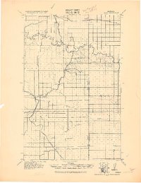 1920 Conrad1920 Print · USGSNorthern Montana plains at the height of the homesteading era are captured here during a period of rapid rail-led growth. Researchers can trace early postal locations like Omholt P. O. and the junction of the Great Northern R. R. in towns like Conrad and Brady.
 - 1954 Map of Shelby, 1967 Print
 1954 Shelby1967 Print · USGSNorthern Montana's Hi-Line is captured in the mid-fifties, showing a landscape shaped by the Great Northern rail and early oil development. Trace family roots in Shelby and Conrad, or locate rural landmarks like Goose Bill Butte and the Rocky Boys Indian Reservation.3 unique versions available
 - 1958 Map of Shelby
 1958 Shelby1958 Print · USGSNorthern Montana’s high plains and the Sweetgrass Hills come to life in the late fifties as the Tiber Dam begins to reshape the Marias River valley. Genealogists and historians can trace rail-town lineages along the Great Northern line and locate sites like the Hull Coal Mine or Sweet Grass.
 - 1967 Map of Conrad, 1970 Print
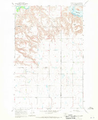 1967 Conrad1970 Print · USGSThe High Plains of Pondera and Toole County are captured in the late sixties, where the historic Whoop Up Trail crosses a rugged landscape. Genealogists and historians can locate rural landmarks like Union Sch, Higgins Sch, and Conrad Butte.2 unique versions available
 - 1984 Map of Conrad
 1984 Conrad1984 Print · USGSNorth-central Montana's high plains and river valleys come to life in this mid-eighties record of Pondera and Toole counties. Genealogists and historians can trace rail-stop towns along the Burlington Northern or locate rural landmarks like Favot and Alkali Springs.
 - 2011 Map of Conrad, 2011 Print
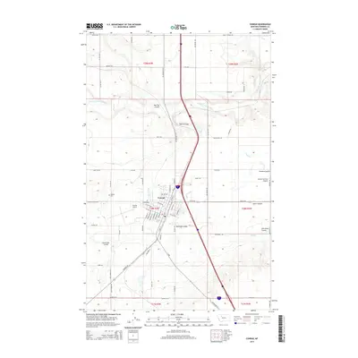
 2011 Conrad2011 Print · USGSCovers Conrad, including Sunrise Trailer Court, Pondera County, and other nearby areas
 - 2014 Map of Conrad, 2014 Print
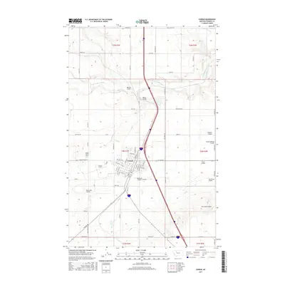
 2014 Conrad2014 Print · USGSCovers Conrad, including Sunrise Trailer Court, Pondera County, and other nearby areas
 - 2017 Map of Conrad, 2017 Print
 2017 Conrad2017 Print · USGSCovers Conrad, including Sunrise Trailer Court, Pondera County, and other nearby areas
 - 2020 Map of Conrad, 2020 Print
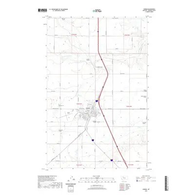 2020 Conrad2020 Print · USGSCovers Conrad, including Sunrise Trailer Court, Pondera County, and other nearby areas
 - 2024 Map of Conrad, 2024 Print
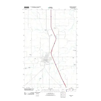
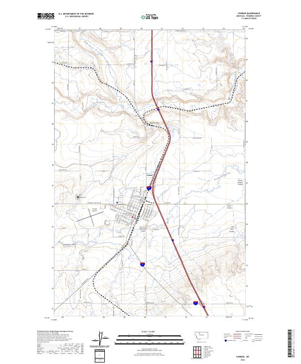 2024 Conrad2024 Print · USGSConrad and the surrounding Pondera County plains appear in the mid-2020s as a landscape shaped by irrigation and civic order. Researchers can trace the town’s development from the Pondera County Courthouse to the outlying Hillside Cem and Dry Fork Marias River.
End of results
Showing maps 1-10 of 10
Top neighborhoods of Conrad
Frequently asked questions
- What are the different types of historical maps available for Conrad?
- What is the oldest map of Conrad?
- Where can I purchase historical maps of Conrad for my home or office?
- Where can I download high-res historical maps of Conrad?
- Are there historical topographic maps available for Conrad?
- Is there historical aerial imagery available for Conrad?
- Where are historical maps of Conrad sourced from?