Old Maps of Milligan, Nebraska
Explore 15 old maps of Milligan, spanning from 1955 to today. These high-resolution historic maps reveal how streets, neighborhoods, landmarks, and natural features evolved over time — perfect for genealogy, metal detecting, research, and local history exploration.
What you can do with these maps:
- See how Milligan changed over time: Compare historical maps to modern-day views to trace roads, homesites, rail lines & more.
- View detailed metadata: Each map includes creators, publishers, year, scale, and archive source.
- Overlay maps with satellite & LiDAR: Visualize the past alongside modern tools to explore terrain & human change.
- Trusted historical sources: Maps sourced from the USGS, Library of Congress, and other archives.
- Access maps your way: View online, download high-res files, or order prints for personal or research use.
Start exploring old maps of Milligan to uncover forgotten places, hidden landmarks, and the deep history beneath your feet.
Milligan, NE maps
(15)- 1955 Map of Lincoln, 1967 Print
 1955 Lincoln1967 Print · USGSSoutheast Nebraska in the mid-fifties presents a landscape of thriving railroad towns and the expanding footprint of the capital city. Researchers can trace the legacy of the pioneer era at the Homestead National Monument of America or locate mid-century military infrastructure like Lincoln Air Force Base.5 unique versions available
 - 1957 Map of Lincoln
 1957 Lincoln1957 Print · USGSSoutheastern Nebraska at mid-century shows a landscape of thriving rail towns and expanding infrastructure centered on Lincoln. Researchers can trace the path of the Chicago Burlington and Quincy railroad through communities like Weeping Water, Fairmont, and Seward.
 - 1958 Map of Lincoln
 1958 Lincoln1958 Print · USGSSoutheast Nebraska at the end of the 1950s shows a region defined by agricultural trade and the expansion of the state capital. Genealogists can trace family footprints across the Blue Valley and locate landmarks like the Lincoln AFB or the U.S. Veterans Hospital.
 - 1961 Map of Ohiowa, 1963 Print
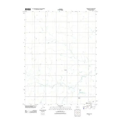
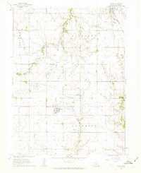 1961 Ohiowa1963 Print · USGSFillmore County settlement and agriculture are captured here in the early sixties, centered on the rail-linked hubs of Ohiowa and Milligan. Researchers can trace numerous family-history sites like Bohemian National Cem and Pleasant Ridge Sch.
 - 1969 Map of Friend SW, 1971 Print
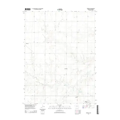
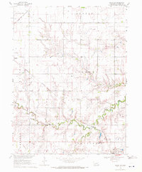 1969 Friend SW1971 Print · USGSAgricultural life in Fillmore County during the late sixties is centered on rail hubs and creek bottoms. Genealogists can trace the Bohemian Brethren church in Milligan, the small settlement at Burress, and rural landmarks like the Townhall and local Grave.
 - 1985 Map of Fairbury
 1985 Fairbury1985 Print · USGSThe borderlands of Nebraska and Kansas thrive as a rail and agricultural hub in the mid-1980s. Genealogists and historians can trace local family lands near Fairbury or follow the historic Burlington Northern tracks through Hebron and Deshler.2 unique versions available
 - 1985 Map of York
 1985 York1985 Print · USGSSoutheast Nebraska in the mid-1980s shows a landscape of productive plains and vital transport corridors along the Burlington Northern line. Trace the history of local institutions like Concordia Teachers College and find family sites at Greenwood Cem or Thayer Cem.2 unique versions available
 - 2011 Map of Friend SW, 2011 Print
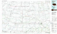
 2011 Friend SW2011 Print · USGSCovers Milligan, including Townhall, Fillmore County, and other nearby areas
 - 2011 Map of Ohiowa, 2011 Print
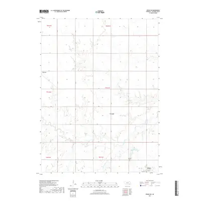
 2011 Ohiowa2011 Print · USGSCovers Milligan, including Ohiowa, Fillmore County, and other nearby areas
 - 2014 Map of Friend SW, 2014 Print
 2014 Friend SW2014 Print · USGSCovers Milligan, including Townhall, Fillmore County, and other nearby areas
 - 2014 Map of Ohiowa, 2014 Print
 2014 Ohiowa2014 Print · USGSCovers Milligan, including Ohiowa, Fillmore County, and other nearby areas
 - 2017 Map of Friend SW, 2017 Print
 2017 Friend SW2017 Print · USGSCovers Milligan, including Townhall, Fillmore County, and other nearby areas
 - 2017 Map of Ohiowa, 2017 Print
 2017 Ohiowa2017 Print · USGSCovers Milligan, including Ohiowa, Fillmore County, and other nearby areas
 - 2021 Map of Ohiowa, 2021 Print
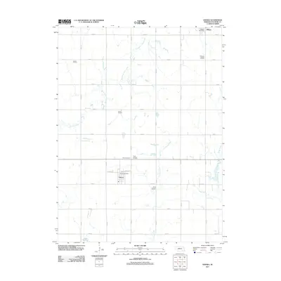
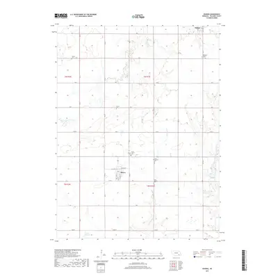
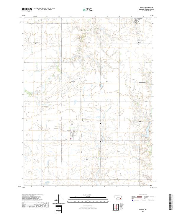 2021 Ohiowa2021 Print · USGSAgricultural section lines and rural villages define this Nebraska landscape in the early twenty-first century. Genealogists can trace family heritage across numerous burial sites like Bohemian National Cem, Pioneer Cem, and Ohiowa Cem.
 - 2021 Map of Friend SW, 2021 Print
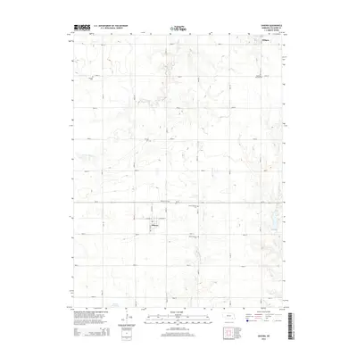
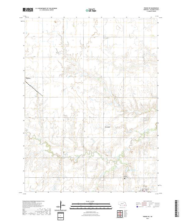 2021 Friend SW2021 Print · USGSFillmore County at the start of the 2020s remains a landscape of deep-rooted homesteads and prairie streams. Genealogists and local historians can locate the Bohemian Brethren Cem or trace the drainage of Turkey Creek near the quiet settlement of Burress.
End of results
Showing maps 1-15 of 15
Top cities near Milligan
- Geneva historical maps
- Friend historical maps
- Exeter historical maps
- Fairmont historical maps
- Western historical maps
- Bruning historical maps
See more
Frequently asked questions
- What are the different types of historical maps available for Milligan?
- What is the oldest map of Milligan?
- Where can I purchase historical maps of Milligan for my home or office?
- Where can I download high-res historical maps of Milligan?
- Are there historical topographic maps available for Milligan?
- Is there historical aerial imagery available for Milligan?
- Where are historical maps of Milligan sourced from?