Old Maps of Budd Ranch, Nebraska
Explore 11 old maps of Budd Ranch, spanning from 1948 to today. These high-resolution historic maps reveal how streets, neighborhoods, landmarks, and natural features evolved over time — perfect for genealogy, metal detecting, research, and local history exploration.
What you can do with these maps:
- See how Budd Ranch changed over time: Compare historical maps to modern-day views to trace roads, homesites, rail lines & more.
- View detailed metadata: Each map includes creators, publishers, year, scale, and archive source.
- Overlay maps with satellite & LiDAR: Visualize the past alongside modern tools to explore terrain & human change.
- Trusted historical sources: Maps sourced from the USGS, Library of Congress, and other archives.
- Access maps your way: View online, download high-res files, or order prints for personal or research use.
Start exploring old maps of Budd Ranch to uncover forgotten places, hidden landmarks, and the deep history beneath your feet.
Budd Ranch, NE maps
(11)- 1948 Map of Twin Lakes, 1976 Print
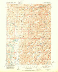
 1948 Twin Lakes1976 Print · USGSSheridan County ranching country is captured here in the late forties, showing a landscape of remote valleys and scattered windmills. Genealogists can trace rural school districts like North Sch No 165 or the location of Spring Lake Camp.
 - 1950 Map of Twin Lakes
 1950 Twin Lakes1950 Print · USGSSheridan County's high plains and marshy basins are captured here at mid-century, documenting a landscape of isolated ranching outposts and rural districts. Genealogists can trace family footprints through numerous local landmarks like North Sch No 165, Spring Lake Camp, and Diamond Lake.2 unique versions available
 - 1955 Map of Alliance, 1966 Print
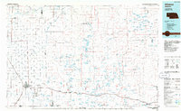
 1955 Alliance1966 Print · USGSThe Nebraska panhandle comes into sharp focus during the mid-fifties, showing a landscape defined by the Niobrara River and the expanding Sand Hills. Researchers can trace the grounds of Fort Robinson, locate Saint Marys Church, or follow the Chicago Burlington and Quincy rail line through Hemingford.3 unique versions available
 - 1957 Map of Alliance
 1957 Alliance1957 Print · USGSNorthwest Nebraska in the mid-fifties is captured here as a landscape of rail hubs, sprawling cattle ranches, and the eastern edge of the dunes. Genealogists and historians can trace rail lines through Alliance and Chadron or locate landmarks like Saint Marys Church and the Agate Spring Fossil Beds.
 - 1958 Map of Alliance
 1958 Alliance1958 Print · USGSNorthwestern Nebraska in the late fifties shows a landscape shaped by the legacy of the high plains frontier and modern agricultural expansion. Genealogists and historians can trace rail-line settlements and landmarks like Fort Robinson and the Agate Spring Fossil Beds.
 - 1985 Map of Alliance, 1986 Print
 1985 Alliance1986 Print · USGSThe High Plains of Box Butte and Sheridan counties come alive in the mid-1980s, centered on the rail hub of Alliance. Genealogists and historians can trace the Burlington Northern line through small sidings and towns like Antioch, Lakeside, and Bingham near the Niobrara River.2 unique versions available
 - 1989 Map of Smith Lake
 1989 Smith Lake1989 Print · USGSSheridan County ranching country is mapped here in the late eighties, showing a landscape of family-held lands and water resources. Genealogists and historians can locate specific homesteads like the Budd Ranch or trace the boundaries of the Smith Lake State Wildlife Management Area.
 - 2011 Map of Smith Lake, 2011 Print
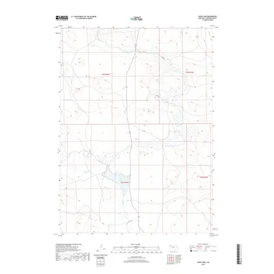
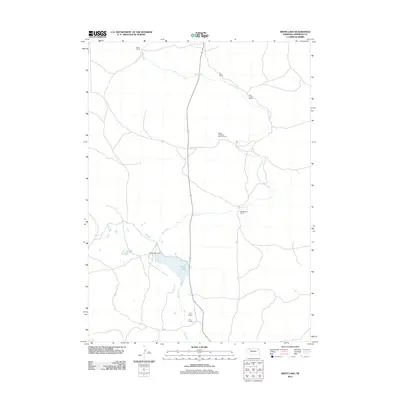 2011 Smith Lake2011 Print · USGSCovers Budd Ranch, including Pine Creek Ranch, Hinn Ranch, and other nearby areas
 - 2014 Map of Smith Lake, 2014 Print
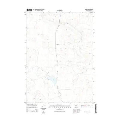 2014 Smith Lake2014 Print · USGSCovers Budd Ranch, including Pine Creek Ranch, Hinn Ranch, and other nearby areas
 - 2017 Map of Smith Lake, 2017 Print
 2017 Smith Lake2017 Print · USGSCovers Budd Ranch, including Pine Creek Ranch, Hinn Ranch, and other nearby areas
 - 2021 Map of Smith Lake, 2021 Print
 2021 Smith Lake2021 Print · USGSSheridan County, Nebraska, is seen here in the early twenty-first century as a landscape of open prairie and essential water sources. Genealogists and land researchers can trace the reaches of Pine Cr and study the routes of 432 Trl and 389 Trl near Smith Lake.
End of results
Showing maps 1-11 of 11
Top cities near Budd Ranch
Frequently asked questions
- What are the different types of historical maps available for Budd Ranch?
- What is the oldest map of Budd Ranch?
- Where can I purchase historical maps of Budd Ranch for my home or office?
- Where can I download high-res historical maps of Budd Ranch?
- Are there historical topographic maps available for Budd Ranch?
- Is there historical aerial imagery available for Budd Ranch?
- Where are historical maps of Budd Ranch sourced from?