Old Maps of Urbana, New York
Explore 31 old maps of Urbana, spanning from 1903 to today. These high-resolution historic maps reveal how streets, neighborhoods, landmarks, and natural features evolved over time — perfect for genealogy, metal detecting, research, and local history exploration.
What you can do with these maps:
- See how Urbana changed over time: Compare historical maps to modern-day views to trace roads, homesites, rail lines & more.
- View detailed metadata: Each map includes creators, publishers, year, scale, and archive source.
- Overlay maps with satellite & LiDAR: Visualize the past alongside modern tools to explore terrain & human change.
- Trusted historical sources: Maps sourced from the USGS, Library of Congress, and other archives.
- Access maps your way: View online, download high-res files, or order prints for personal or research use.
Start exploring old maps of Urbana to uncover forgotten places, hidden landmarks, and the deep history beneath your feet.
Urbana, NY maps
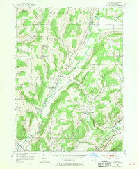
(31)- 1903 Map of Hammondsport
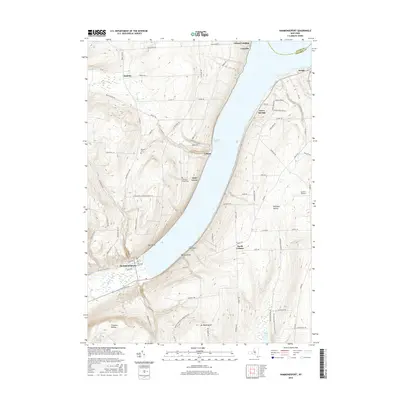
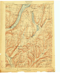 1903 Hammondsport1903 Print · USGSThe Finger Lakes region at the dawn of the twentieth century is defined here by the busy docks of Hammondsport and the deep waters of Keuka Lake. Researchers can trace the early Steamboat Route and a dense network of upland hamlets like Catawba and Wayne Four Corners.8 unique versions available
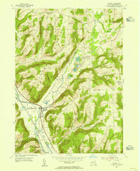
 - 1910 Map of Bath
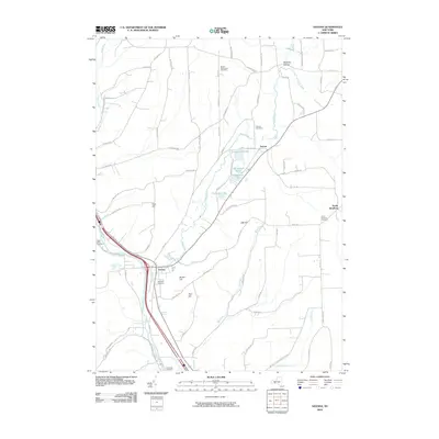
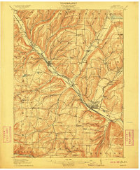 1910 Bath1910 Print · USGSSteuben County was a bustling corridor of rail and river commerce in the early twentieth century. Researchers can trace the lineage of local institutions like the State Soldiers and Sailors Home or find vanished schoolhouses such as Bucks School and Whites School.4 unique versions available
 - 1950 Map of Elmira
 1950 Elmira1950 Print · USGSThe Finger Lakes region thrived in the late 1940s as a hub of industry and transport. Trace family roots and vanished landmarks near Seneca Lake or explore the rail lines of the Erie RR and the sprawling Seneca Ordnance Depot.2 unique versions available
 - 1953 Map of Bath, 1955 Print
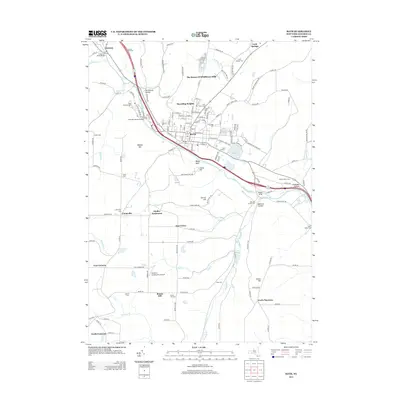
 1953 Bath1955 Print · USGSMid-century Steuben County is centered here on the bustling village of Bath and its vital rail corridors during the height of the steam-to-diesel transition. Researchers can trace family history through numerous rural landmarks like Dudley Settlement, Holy Cross Ch, and Nondaga Cem.3 unique versions available
 - 1953 Map of Hammondsport, 1955 Print
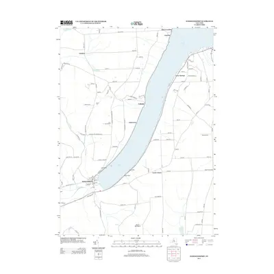
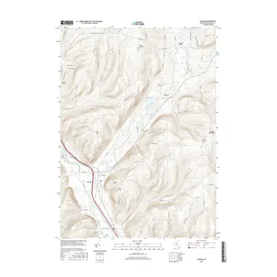
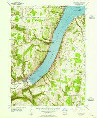 1953 Hammondsport1955 Print · USGSKeuka Lake's southern shores and the town of Hammondsport are captured here in the early fifties. Researchers can trace shoreline settlements like Gibson Landing and Urbana or locate family sites at Chestnut Grove Cem.4 unique versions available
 - 1953 Map of Rheims, 1955 Print
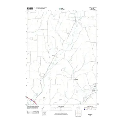
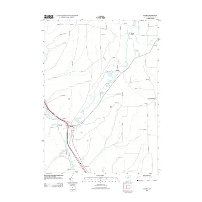
 1953 Rheims1955 Print · USGSSteuben County in the early 1950s shows a landscape defined by high ridges and the valleys of the Cohocton River. Researchers can trace the routes of the Kanona & Prattsburgh RR and find local landmarks like Wheeler Hill Ch and Dineharts Cem.2 unique versions available
 - 1953 Map of Savona, 1955 Print
 1953 Savona1955 Print · USGSSteuben County was a vital rail and river corridor in the 1950s, centered on the bustling village of Savona. Researchers can trace the dual routes of the Erie RR and Delaware Lackawanna and Western RR or locate historic burial sites like Seamans Cem.4 unique versions available
 - 1958 Map of Elmira
 1958 Elmira1958 Print · USGSThe New York Finger Lakes during the late fifties reveal a complex landscape of glacial geology and industrial growth. Researchers can trace historic transport corridors like the Erie Canal and Erie RR, or locate institutional landmarks like Cornell University.2 unique versions available
 - 1962 Map of Elmira, 1969 Print
 1962 Elmira1969 Print · USGSThe Finger Lakes region and Southern Tier are captured here during a period of industrial maturity and highway expansion. Researchers can trace the path of the Erie Canal, the footprint of the Seneca Army Depot, and legacy rail lines through Elmira and Ithaca.4 unique versions available
 - 1965 Map of Elmira
 1965 Elmira1965 Print · USGSThe Finger Lakes and Southern Tier regions are captured in the mid-sixties, showcasing a landscape of deep glacial valleys and heavy rail infrastructure. Trace old railroad corridors like the Pennsylvania RR or visit landmarks like Letchworth State Park and the Seneca Army Depot.
 - 1986 Map of Hornell
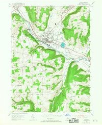
 1986 Hornell1986 Print · USGSThe Southern Tier and Finger Lakes region thrive in the 1980s as rail and river corridors link Hornell to Corning. Trace local heritage through landmarks like Alfred University, the Veterans Adm Center, and the shores of Keuka Lake.2 unique versions available
 - 2010 Map of Bath, 2010 Print
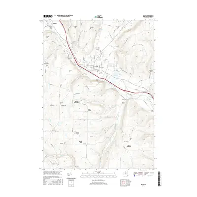
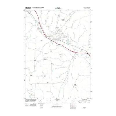 2010 Bath2010 Print · USGSCovers Urbana, including Bath, Bath, and other nearby areas
 - 2010 Map of Hammondsport, 2010 Print
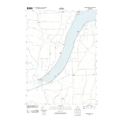 2010 Hammondsport2010 Print · USGSCovers Urbana, including Jerusalem, Prattsburgh, and other nearby areas
 - 2010 Map of Rheims, 2010 Print
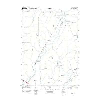
 2010 Rheims2010 Print · USGSCovers Urbana, including Bath, Avoca, and other nearby areas
 - 2010 Map of Savona, 2010 Print
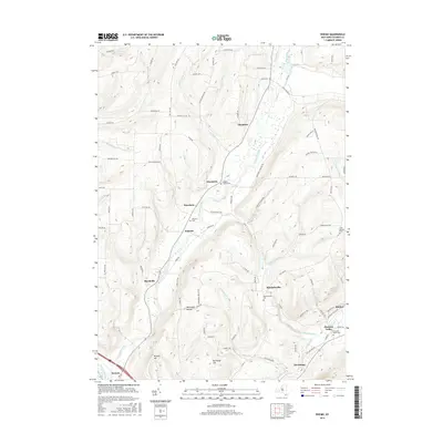
 2010 Savona2010 Print · USGSCovers Urbana, including Bath, Campbell, and other nearby areas
 - 2013 Map of Bath, 2013 Print
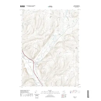
 2013 Bath2013 Print · USGSCovers Urbana, including Bath, Bath, and other nearby areas
 - 2013 Map of Hammondsport, 2013 Print
 2013 Hammondsport2013 Print · USGSCovers Urbana, including Jerusalem, Prattsburgh, and other nearby areas
 - 2013 Map of Rheims, 2013 Print
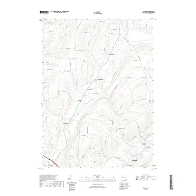
 2013 Rheims2013 Print · USGSCovers Urbana, including Bath, Avoca, and other nearby areas
 - 2013 Map of Savona, 2013 Print
 2013 Savona2013 Print · USGSCovers Urbana, including Bath, Campbell, and other nearby areas
 - 2016 Map of Hammondsport, 2016 Print
 2016 Hammondsport2016 Print · USGSCovers Urbana, including Jerusalem, Prattsburgh, and other nearby areas
 - 2016 Map of Savona, 2016 Print
 2016 Savona2016 Print · USGSCovers Urbana, including Bath, Campbell, and other nearby areas
 - 2016 Map of Bath, 2016 Print
 2016 Bath2016 Print · USGSCovers Urbana, including Bath, Bath, and other nearby areas
 - 2016 Map of Rheims, 2016 Print
 2016 Rheims2016 Print · USGSCovers Urbana, including Bath, Avoca, and other nearby areas
 - 2019 Map of Savona, 2019 Print
 2019 Savona2019 Print · USGSCovers Urbana, including Bath, Campbell, and other nearby areas
 - 2019 Map of Rheims, 2019 Print
 2019 Rheims2019 Print · USGSCovers Urbana, including Bath, Avoca, and other nearby areas
Showing maps 1-25 of 31
Top cities near Urbana
- Bath historical maps
- Milo historical maps
- Corning historical maps
- Bath historical maps
- Penn Yan historical maps
- Jerusalem historical maps
See more
Top neighborhoods of Urbana
- Pleasant Valley historical maps
- Cold Springs historical maps
- Hermitage historical maps
- Glen Grove historical maps
- Rheims historical maps
- North Urbana historical maps
See more
Frequently asked questions
- What are the different types of historical maps available for Urbana?
- What is the oldest map of Urbana?
- Where can I purchase historical maps of Urbana for my home or office?
- Where can I download high-res historical maps of Urbana?
- Are there historical topographic maps available for Urbana?
- Is there historical aerial imagery available for Urbana?
- Where are historical maps of Urbana sourced from?