Old Maps of Granville, New York
Explore 35 old maps of Granville, spanning from 1893 to today. These high-resolution historic maps reveal how streets, neighborhoods, landmarks, and natural features evolved over time — perfect for genealogy, metal detecting, research, and local history exploration.
What you can do with these maps:
- See how Granville changed over time: Compare historical maps to modern-day views to trace roads, homesites, rail lines & more.
- View detailed metadata: Each map includes creators, publishers, year, scale, and archive source.
- Overlay maps with satellite & LiDAR: Visualize the past alongside modern tools to explore terrain & human change.
- Trusted historical sources: Maps sourced from the USGS, Library of Congress, and other archives.
- Access maps your way: View online, download high-res files, or order prints for personal or research use.
Start exploring old maps of Granville to uncover forgotten places, hidden landmarks, and the deep history beneath your feet.
Granville, NY maps
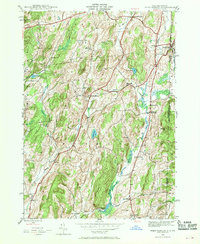
(35)- 1893 Map of Fort Ann, 1954 Print
 1893 Fort Ann1954 Print · USGSWashington County was a crossroads of canal and rail commerce in the late nineteenth century. Genealogists and local historians can trace the foundations of Granville, locate family homes near Chamberlain Mills, and follow the path of the Abandoned Delaware and Hudson Canal.2 unique versions available
 - 1894 Map of Pawlet, 1964 Print
 1894 Pawlet1964 Print · USGSRutland and Bennington Counties at the close of the nineteenth century reveal a rugged landscape of rail-linked valley towns and high mountain hollows. Genealogists can locate family lands near Middletown Springs, Danby Four Corners, or the remote Burnham Hollow.
 - 1895 Map of Fort Ann
 1895 Fort Ann1895 Print · USGSWashington County in the late nineteenth century is a landscape defined by the Saratoga and Champlain Canal and early railroads. You can trace the development of hamlets like Chamberlain Mills and Truthville as they appeared before the modern era.
 - 1897 Map of Pawlet
 1897 Pawlet1897 Print · USGSVermont's Taconic borderlands are captured here in the late nineteenth century, showing a landscape of high peaks and tightly clustered valley settlements. Researchers can trace the routes of the DELAWARE AND HUDSON RR or locate vanished hamlets like Spanktown and Brimstone Corners.8 unique versions available
 - 1898 Map of Fort Ann
 1898 Fort Ann1898 Print · USGSUpper Washington County at the close of the nineteenth century reveals a landscape dominated by the Champlain Canal and the Mettawee River. Genealogists and local historians can trace early settlements and transit points like Smith Basin, Chamberlain Mills, and Battle Hill.
 - 1901 Map of Fort Ann
 1901 Fort Ann1901 Print · USGSWashington County at the close of the nineteenth century was a vital corridor of New York commerce, defined by its historic canal and rail lines. You can trace the early industrial landscape through Smith Basin, find family homesteads near Slyboro, and follow the Mettawee River as it crosses the Vermont border.
 - 1903 Map of Mettawee
 1903 Mettawee1903 Print · USGSThe New York and Vermont borderlands come alive in this turn-of-the-century survey of the Mettawee Valley. Genealogists can trace family footprints from Middletown Springs down to the Saratoga and Champlain Canal at Fort Ann.2 unique versions available
 - 1904 Map of Fort Ann
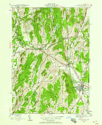
 1904 Fort Ann1904 Print · USGSWashington County at the turn of the century shows a landscape defined by the slate industry and early rail lines along the Vermont border. Genealogists can locate family lands near Chamberlain Mills, Smith Basin, and the crossroads of North Hebron or Slyboro.6 unique versions available
 - 1944 Map of West Pawlet, 1958 Print
 1944 West Pawlet1958 Print · USGSThe borderlands of New York and Vermont are captured here during the mid-forties, showing a region of quiet hamlets and well-established family farms. Genealogists and local researchers can trace early settlers through numerous sites like Taylor Hill Cem, Chamberlain Mills, and the Hebron Ch.2 unique versions available
 - 1944 Map of Granville, 1958 Print
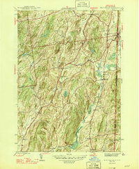
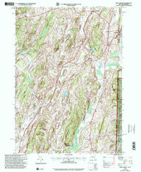
 1944 Granville1958 Print · USGSThe Mettawee River valley in the mid-1940s was a landscape defined by its rail-and-water corridors and small rural hamlets. Researchers can trace the Delaware and Hudson railroad through Granville or find family roots at Elmwood Cem and Slyboro.2 unique versions available
 - 1946 Map of Granville
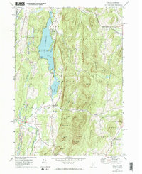
 1946 Granville1946 Print · USGSWashington County at the close of World War II shows a landscape of river-valley hamlets and numerous country schoolhouses. Genealogists can trace family footprints near Raceville, locate Elmwood Cem, or follow the Delaware and Hudson rail line.2 unique versions available
 - 1946 Map of West Pawlet
 1946 West Pawlet1946 Print · USGSThe borderlands between New York and Vermont are captured here during the mid-1940s as rural life centered on the Delaware and Hudson RR. Genealogists can locate family landmarks such as Taylor Hill Cem or trace the now-quiet sites of Sch No 4 (abandoned) and Chamberlain Mills.2 unique versions available
 - 1950 Map of Glens Falls
 1950 Glens Falls1950 Print · USGSThe Adirondacks and the Green Mountains meet in this mid-century survey of the New York and Vermont borderlands. Researchers can trace the industrial rail corridors of the Rutland RR and Delaware & Hudson RR connecting Glens Falls, Rutland, and the shores of Lake George.
 - 1956 Map of Glens Falls, 1968 Print
 1956 Glens Falls1968 Print · USGSUpper New York and the Vermont mountains are captured here in the mid-fifties, showing the rugged rail-and-river network of the Northeast. Researchers can trace the paths of the Delaware and Hudson RR and Rutland RR as they wind through valley towns like Poultney and Whitehall.3 unique versions available
 - 1959 Map of Glens Falls
 1959 Glens Falls1959 Print · USGSUpper New York and Vermont are captured here during the late 1950s, a period of transition for these mountain communities. Researchers can trace the legacy of the region's river-and-rail economy through landmarks like Lake George, Saratoga Springs, and Killington Peak.2 unique versions available
 - 1964 Map of Glens Falls
 1964 Glens Falls1964 Print · USGSThe tri-state borderlands of New York, Vermont, and New Hampshire appear here in the mid-1960s. Researchers can trace the rail routes of the Rutland RR and find historic sites like Ticonderoga and Saratoga National Historical Park.
 - 1967 Map of Wells, 1972 Print
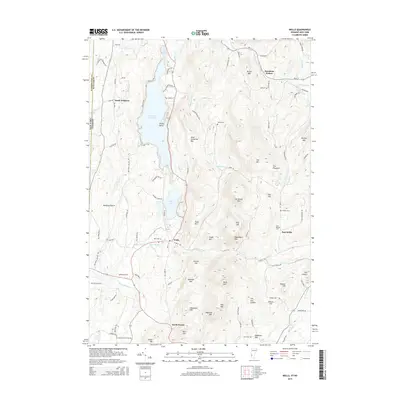
 1967 Wells1972 Print · USGSThe Vermont-New York borderlands near Wells were characterized by a mix of summer recreation and mountain industry in the 1960s. Researchers can trace the slate-country heritage through various Quarries or locate family sites at Barden Cem and Blossom Corners.2 unique versions available
 - 1986 Map of Glens Falls
 1986 Glens Falls1986 Print · USGSThe Upper Hudson Valley and Vermont borderlands come together in this mid-eighties survey of industrial river towns and mountain retreats. Genealogists and historians can trace the rail lines of the Delaware and Hudson Railway or locate landmarks like the Mount McGregor Correctional Facility and Saratoga Spa State Park.2 unique versions available
 - 1989 Map of Glens Falls
 1989 Glens Falls1989 Print · USGSThe Upper Hudson Valley and the Vermont borderlands are captured here during the late eighties, showing a landscape of river-town industry and mountain recreation. Researchers can trace the Champlain Canal, the Delaware and Hudson RR, and historic sites like Saratoga National Historical Park.
 - 1995 Map of West Pawlet, 2000 Print
 1995 West Pawlet2000 Print · USGSCrossing the New York and Vermont border in the mid-1990s, this area shows a landscape of upland ridges and clustered valley hamlets. Researchers can trace rural lineages through numerous sites like Taylor Hill Cem or locate the site of Chamberlain Mills along the creek beds.2 unique versions available
 - 2011 Map of West Pawlet, 2011 Print
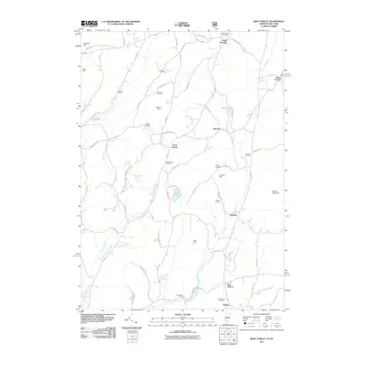 2011 West Pawlet2011 Print · USGSCovers Granville, including Hartford, Hebron, and other nearby areas
 - 2012 Map of Granville, 2012 Print
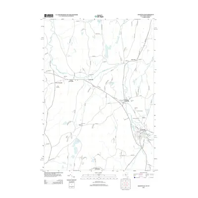
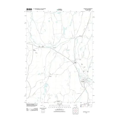 2012 Granville2012 Print · USGSCovers Granville, including Fort Ann, Whitehall, and other nearby areas
 - 2012 Map of Wells, 2012 Print
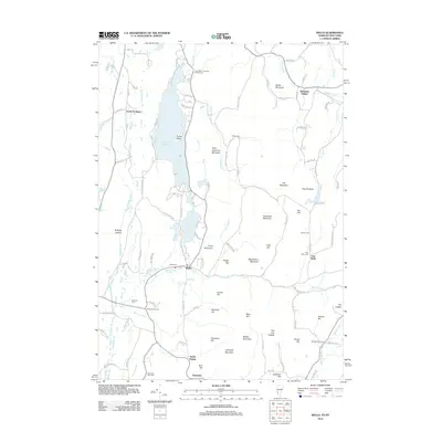 2012 Wells2012 Print · USGSCovers Granville, including Poultney, Pawlet, and other nearby areas
 - 2013 Map of Granville, 2013 Print
 2013 Granville2013 Print · USGSCovers Granville, including Fort Ann, Whitehall, and other nearby areas
 - 2015 Map of Wells, 2015 Print
 2015 Wells2015 Print · USGSCovers Granville, including Poultney, Pawlet, and other nearby areas
Showing maps 1-25 of 35
Top cities near Granville
- Kingsbury historical maps
- Fort Edward historical maps
- Fort Ann historical maps
- Greenwich historical maps
- Whitehall historical maps
- Argyle historical maps
See more
Top neighborhoods of Granville
- Raceville historical maps
- Slyboro historical maps
- Truthville historical maps
- South Granville historical maps
- Hillsdale historical maps
- Middle Granville historical maps
See more
Frequently asked questions
- What are the different types of historical maps available for Granville?
- What is the oldest map of Granville?
- Where can I purchase historical maps of Granville for my home or office?
- Where can I download high-res historical maps of Granville?
- Are there historical topographic maps available for Granville?
- Is there historical aerial imagery available for Granville?
- Where are historical maps of Granville sourced from?