Old Maps of Selma, Oregon
Explore 15 old maps of Selma, spanning from 1917 to today. These high-resolution historic maps reveal how streets, neighborhoods, landmarks, and natural features evolved over time — perfect for genealogy, metal detecting, research, and local history exploration.
What you can do with these maps:
- See how Selma changed over time: Compare historical maps to modern-day views to trace roads, homesites, rail lines & more.
- View detailed metadata: Each map includes creators, publishers, year, scale, and archive source.
- Overlay maps with satellite & LiDAR: Visualize the past alongside modern tools to explore terrain & human change.
- Trusted historical sources: Maps sourced from the USGS, Library of Congress, and other archives.
- Access maps your way: View online, download high-res files, or order prints for personal or research use.
Start exploring old maps of Selma to uncover forgotten places, hidden landmarks, and the deep history beneath your feet.
Selma, OR maps
(15)- 1917 Map of Kerby, 1927 Print
 1917 Kerby1927 Print · USGSSouthern Oregon's mining and timber country is documented here during the early twentieth century, showing the Illinois River basin at its industrial peak. Genealogists can trace family homesteads and local institutions through Kerby, Selma, and rural schools like Spence School.3 unique versions available
 - 1918 Map of Kerby
 1918 Kerby1918 Print · USGSJosephine County in the years before the Great War was a center of mountain mining and early forestry. Genealogists and historians can trace the pioneer footprints of Waldo, Kerby, and Takilma, alongside remote operations like the Queen of Bronze Mine and Eureka Mine.2 unique versions available
 - 1945 Map of Kerby
 1945 Kerby1945 Print · USGSJosephine County at the close of the war shows a landscape of deep-woods mining and early forest management. Genealogists and historians can trace family roots through labels for Dryden Sch, the Hancock Ranch, and the early community at Takilma.
 - 1954 Map of Selma, 1956 Print
 1954 Selma1956 Print · USGSJosephine County mountain life in the mid-fifties centered on timber and mining outposts along the Redwood Highway. Trace family roots at Deer Creek Cemetery or locate old industrial sites like Spaulding Mills (Site) and the Murray Mine.4 unique versions available
 - 1955 Map of Medford, 1964 Print
 1955 Medford1964 Print · USGSSouthern Oregon's valley towns and high peaks are captured here in the mid-1950s, showing the region before the completion of the modern interstate system. Genealogists and historians can trace the development of timber and mining outposts from Wolf Creek to Butte Falls and the early roads to Crater Lake.3 unique versions available
 - 1957 Map of Medford
 1957 Medford1957 Print · USGSSouthern Oregon during the mid-fifties is captured here as a region of growing valley cities and vast timberlands. Genealogists and historians can trace the rail-and-road corridors connecting Medford, Jacksonville, and Grants Pass to more remote locales like Wolf Creek or Butte Falls.
 - 1958 Map of Medford
 1958 Medford1958 Print · USGSSouthern Oregon's Rogue River valley thrived in the 1950s as a crossroads of rail and road. Researchers can trace the legacy of timber and tourism through Southern Pacific RR lines and landmarks like Crater Lake and Oregon Caves National Monument.
 - 1989 Map of Selma
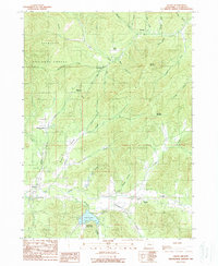 1989 Selma1989 Print · USGSJosephine County's valley floor and mountain slopes come into focus during the late eighties, centered on the settlement of Selma. Researchers can locate family landmarks such as the Deer Creek Cemetery or trace historic transit sites like Love Station and Anderson Station.
 - 1989 Map of Grants Pass, 1990 Print
 1989 Grants Pass1990 Print · USGSSouthern Oregon's river valleys and mountain ranges are captured here in the late eighties, just as the region’s recreation and transit networks were maturing. Local historians can trace old settlements like Waldo and Holland or follow the Southern Pacific line through Grants Pass.
 - 1996 Map of Selma, 1999 Print
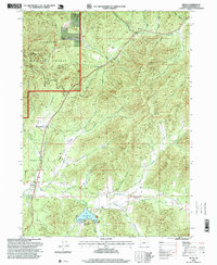 1996 Selma1999 Print · USGSNear the close of the twentieth century, the area around Selma remained a mix of forest service land and rural homesteads. Genealogists and historians can trace the Deer Creek Cemetery, the Anderson Station site, and the road over Hayes Hill.
 - 2011 Map of Selma, 2011 Print
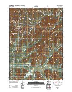 2011 Selma2011 Print · USGSCovers Selma, including Wonder, Dryden, and other nearby areas
 - 2014 Map of Selma, 2014 Print
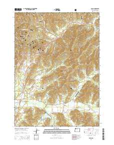 2014 Selma2014 Print · USGSCovers Selma, including Wonder, Dryden, and other nearby areas
 - 2020 Map of Selma, 2020 Print
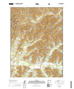 2020 Selma2020 Print · USGSCovers Selma, including Wonder, Dryden, and other nearby areas
 - 2023 Map of Selma, 2023 Print
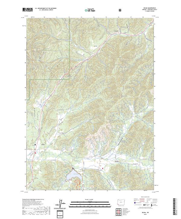 2023 Selma2023 Print · USGSCovers Selma, including Wonder, Dryden, and other nearby areas
 - 2024 Map of Selma, 2024 Print
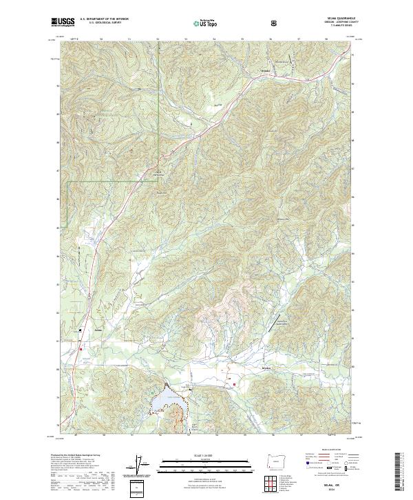 2024 Selma2024 Print · USGSThe communities of Selma and Wonder are captured here along the Highway 199 corridor during the early twenty-first century. Researchers can locate family landmarks like Selma Cem and Deer Creek Cem or trace the shoreline of Lake Selmac.
End of results
Showing maps 1-15 of 15
Top cities near Selma
Frequently asked questions
- What are the different types of historical maps available for Selma?
- What is the oldest map of Selma?
- Where can I purchase historical maps of Selma for my home or office?
- Where can I download high-res historical maps of Selma?
- Are there historical topographic maps available for Selma?
- Is there historical aerial imagery available for Selma?
- Where are historical maps of Selma sourced from?