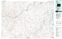
Old Maps of Nyssa, Oregon
Explore 26 old maps of Nyssa, spanning from 1898 to today. These high-resolution historic maps reveal how streets, neighborhoods, landmarks, and natural features evolved over time — perfect for genealogy, metal detecting, research, and local history exploration.
What you can do with these maps:
- See how Nyssa changed over time: Compare historical maps to modern-day views to trace roads, homesites, rail lines & more.
- View detailed metadata: Each map includes creators, publishers, year, scale, and archive source.
- Overlay maps with satellite & LiDAR: Visualize the past alongside modern tools to explore terrain & human change.
- Trusted historical sources: Maps sourced from the USGS, Library of Congress, and other archives.
- Access maps your way: View online, download high-res files, or order prints for personal or research use.
Start exploring old maps of Nyssa to uncover forgotten places, hidden landmarks, and the deep history beneath your feet.
Nyssa, OR maps
(26)- 1898 Map of Nampa
 1898 Nampa1898 Print · USGSThe Treasure Valley's transformation is visible in the 1890s as railroads and massive irrigation projects began to reshape the high desert. Researchers can trace the development of early rail lines like the Boise Nampa & Owyhee R. R. and early canals such as the Riverside Canal and Newman Canal.4 unique versions available
 - 1906 Map of Mitchell Butte
 1906 Mitchell Butte1906 Print · USGSEastern Oregon's high desert was being redefined by irrigation and ranching at the turn of the century. Genealogists and historians can trace early water rights through the Farmers Ditch network or locate remote family outposts like Isaacs Ranch and Prices Ranch.3 unique versions available
 - 1955 Map of Boise, 1977 Print
 1955 Boise1977 Print · USGSThe Treasure Valley and Owyhee uplands are shown in detail during the mid-fifties, capturing the region's transition into a major agricultural and urban hub. Researchers can trace the Union Pacific line through Nampa, explore the volcanic Jordan Craters, or locate the historic mining district of Silver City.
 - 1958 Map of Boise
 1958 Boise1958 Print · USGSThe Treasure Valley and Snake River Plain come alive in the mid-fifties as the rail-and-river economy transitions into a modern agricultural hub. Trace the Union Pacific lines through Nampa or locate remote landmarks like Initial Point and the Rockville settlement.2 unique versions available
 - 1962 Map of Boise
 1962 Boise1962 Print · USGSThe Treasure Valley at the start of the sixties reveals a landscape of expanding towns and complex irrigation networks along the Snake River. Genealogists and historians can trace the foundations of modern Idaho through markers like Initial Point, the mining history of Silver City, and the early infrastructure of Lucky Peak Dam.
 - 1965 Map of Nyssa, 1967 Print
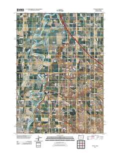
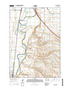
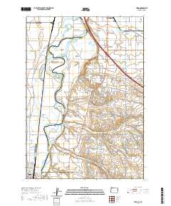
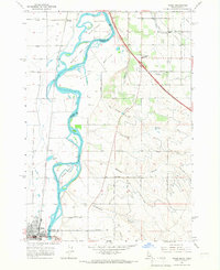 1965 Nyssa1967 Print · USGSThe borderlands of Oregon and Idaho come alive in the mid-1960s as the Snake River winds past Nyssa and its surrounding agricultural islands. Genealogists and historians can trace local landmarks like the De Lamar Grange Hall, the Union Pacific rail lines, and the extensive irrigation networks of Farmers Ditch.
 - 1965 Map of Parma, 1967 Print
 1965 Parma1967 Print · USGSWestern Idaho's river junctions and rail corridors come into focus in the mid-sixties as the irrigation network supports the growing valley. Researchers can trace family roots at Parma Cem, locate the Apple Valley Sch, or explore the grounds of the University of Idaho Agriculture Experiment Sta.2 unique versions available
 - 1967 Map of Cairo, 1971 Print
 1967 Cairo1971 Print · USGSThe agricultural heart of Malheur County is captured here in the late sixties, showing a landscape defined by an intricate web of desert irrigation. Local historians can trace the foundations of Cairo Junction and Mallett through landmarks like the Cairo Sch, Arcadia Sch, and the Malheur Butte Ch.
 - 1967 Map of Owyhee, 1971 Print
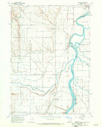 1967 Owyhee1971 Print · USGSThe Oregon-Idaho borderlands in the late sixties reveal a landscape shaped by the meeting of three rivers and a vast irrigation network. Researchers can trace the heritage of Nyssa and Overstreet, locating the Owyhee Cemetery and the industrial infrastructure of the Union Pacific railroad.2 unique versions available
 - 1981 Map of Boise
 1981 Boise1981 Print · USGSThe Boise River valley and Treasure Plain are captured here in the early eighties as urban expansion began to link the regional hubs of the Snake River plain. Researchers can trace the development of Nampa, Caldwell, and Meridian or locate landmarks like Lake Lowell and Eagle Island State Park.2 unique versions available
 - 1993 Map of Vale
 1993 Vale1993 Print · USGSEastern Oregon's river valleys and high desert plateaus are captured here in the early nineties, centered on the irrigation-rich lands of Malheur County. Researchers can locate the Miller Memorial Airpark, follow the Union Pacific rails, and trace the Owyhee River past Mitchell Butte.2 unique versions available
 - 2011 Map of Nyssa, 2011 Print
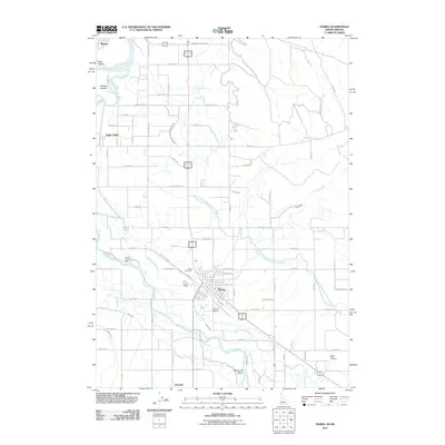
 2011 Nyssa2011 Print · USGSCovers Nyssa, including Fruitland, Arcadia, and other nearby areas
 - 2011 Map of Parma, 2011 Print
 2011 Parma2011 Print · USGSCovers Nyssa, including Parma, Canyon County, and other nearby areas
 - 2011 Map of Owyhee, 2011 Print
 2011 Owyhee2011 Print · USGSCovers Nyssa, including Owyhee, Canyon County, and other nearby areas
 - 2013 Map of Parma, 2013 Print
 2013 Parma2013 Print · USGSCovers Nyssa, including Parma, Canyon County, and other nearby areas
 - 2014 Map of Nyssa, 2014 Print
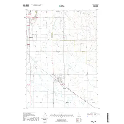
 2014 Nyssa2014 Print · USGSCovers Nyssa, including Fruitland, Arcadia, and other nearby areas
 - 2014 Map of Cairo, 2014 Print
 2014 Cairo2014 Print · USGSCovers Nyssa, including Cairo, Nyssa Heights, and other nearby areas
 - 2017 Map of Cairo, 2017 Print
 2017 Cairo2017 Print · USGSCovers Nyssa, including Cairo, Nyssa Heights, and other nearby areas
 - 2017 Map of Owyhee, 2017 Print
 2017 Owyhee2017 Print · USGSCovers Nyssa, including Owyhee, Canyon County, and other nearby areas
 - 2017 Map of Parma, 2017 Print
 2017 Parma2017 Print · USGSCovers Nyssa, including Parma, Canyon County, and other nearby areas
 - 2020 Map of Nyssa, 2020 Print
 2020 Nyssa2020 Print · USGSCovers Nyssa, including Fruitland, Arcadia, and other nearby areas
 - 2020 Map of Parma, 2020 Print
 2020 Parma2020 Print · USGSCovers Nyssa, including Parma, Canyon County, and other nearby areas
 - 2023 Map of Cairo, 2023 Print
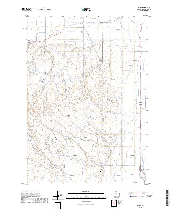 2023 Cairo2023 Print · USGSMalheur County agriculture is on full display in this modern survey of the high desert near the Idaho border. Genealogists and local researchers can trace the irrigation networks of the Ontario Nyssa Canal and Owyhee Ditch or locate family sites near Cairo and the Nyssa Cem.
 - 2023 Map of Parma, 2023 Print
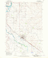
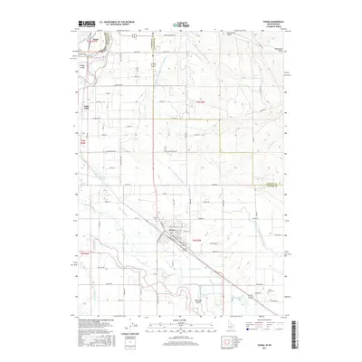
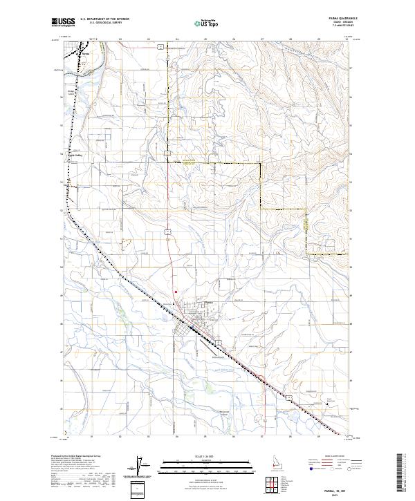 2023 Parma2023 Print · USGSThe Idaho-Oregon borderlands at Parma are revealed in this detailed survey of the Snake and Boise River junction. Researchers can trace irrigation history through the Farmers Cooperative Sebree Canal or locate family roots at Parma Cem and Lower Boise Cem.
 - 2024 Map of Nyssa, 2024 Print
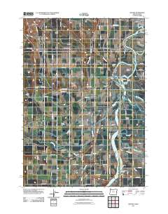
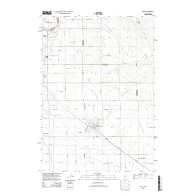
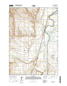
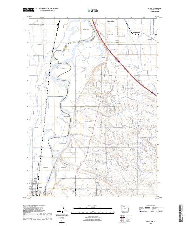 2024 Nyssa2024 Print · USGSThe Oregon-Idaho border comes alive in this study of the Snake River valley as it appeared in the mid-2020s. Genealogists and historians can trace family lands near Arcadia, explore the irrigation networks of Noble Canal, or locate early settlements like Palisades Corner.
Showing maps 1-25 of 26
Top cities near Nyssa
- Ontario historical maps
- Payette historical maps
- Fruitland historical maps
- Parma historical maps
- Vale historical maps
- Wilder historical maps
See more
Frequently asked questions
- What are the different types of historical maps available for Nyssa?
- What is the oldest map of Nyssa?
- Where can I purchase historical maps of Nyssa for my home or office?
- Where can I download high-res historical maps of Nyssa?
- Are there historical topographic maps available for Nyssa?
- Is there historical aerial imagery available for Nyssa?
- Where are historical maps of Nyssa sourced from?