Old Maps of Fulton County, Pennsylvania
Explore 78 old maps of Fulton County, spanning from 1898 to today. These high-resolution historic maps reveal how streets, neighborhoods, landmarks, and natural features evolved over time — perfect for genealogy, metal detecting, research, and local history exploration.
What you can do with these maps:
- See how Fulton County changed over time: Compare historical maps to modern-day views to trace roads, homesites, rail lines & more.
- View detailed metadata: Each map includes creators, publishers, year, scale, and archive source.
- Overlay maps with satellite & LiDAR: Visualize the past alongside modern tools to explore terrain & human change.
- Trusted historical sources: Maps sourced from the USGS, Library of Congress, and other archives.
- Access maps your way: View online, download high-res files, or order prints for personal or research use.
Start exploring old maps of Fulton County to uncover forgotten places, hidden landmarks, and the deep history beneath your feet.
Fulton County, PA maps
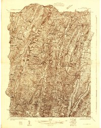
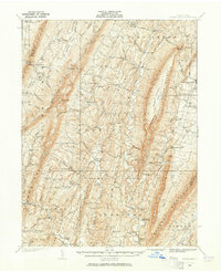
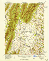
(78)- 1898 Map of Paw Paw, 1982 Print
 1898 Paw Paw1982 Print · USGSCovers Fulton County, including Paw Paw, Little Orleans, and other nearby areas
 - 1899 Map of Hancock, 1960 Print
 1899 Hancock1960 Print · USGSCovers Fulton County, including Hancock, Berkeley Springs, and other nearby areas
 - 1900 Map of Pawpaw
 1900 Pawpaw1900 Print · USGSCovers Fulton County, including Paw Paw, Little Orleans, and other nearby areas8 unique versions available
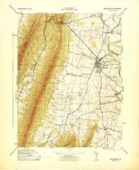
 - 1900 Map of Mercersburg
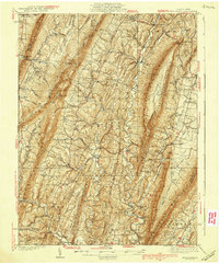
 1900 Mercersburg1900 Print · USGSCovers Fulton County, including Metal Township, Mercersburg, and other nearby areas
 - 1901 Map of Hancock
 1901 Hancock1901 Print · USGSCovers Fulton County, including Hancock, Berkeley Springs, and other nearby areas8 unique versions available
 - 1902 Map of Mercersburg
 1902 Mercersburg1902 Print · USGSCovers Fulton County, including Metal Township, Mercersburg, and other nearby areas5 unique versions available
 - 1910 Map of Paw Paw, 1959 Print
 1910 Paw Paw1959 Print · USGSCovers Fulton County, including Paw Paw, Little Orleans, and other nearby areas
 - 1925 Map of Needmore
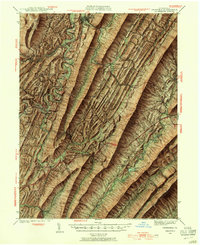
 1925 Needmore1925 Print · USGSCovers Fulton County, including Ayr Township, Andover, and other nearby areas
 - 1927 Map of Clearville
 1927 Clearville1927 Print · USGSCovers Fulton County, including Colerain Township, Bedford Township, and other nearby areas
 - 1930 Map of Broad Top, 1958 Print
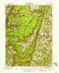 1930 Broad Top1958 Print · USGSCovers Fulton County, including Todd Township, Saxton, and other nearby areas2 unique versions available
 - 1931 Map of Clearville
 1931 Clearville1931 Print · USGSCovers Fulton County, including Colerain Township, Bedford Township, and other nearby areas3 unique versions available
 - 1933 Map of Broad Top
 1933 Broad Top1933 Print · USGSCovers Fulton County, including Todd Township, Saxton, and other nearby areas3 unique versions available
 - 1935 Map of Needmore
 1935 Needmore1935 Print · USGSCovers Fulton County, including Ayr Township, Andover, and other nearby areas
 - 1939 Map of Needmore
 1939 Needmore1939 Print · USGSCovers Fulton County, including Ayr Township, Andover, and other nearby areas3 unique versions available
 - 1939 Map of Orbisonia, 1954 Print
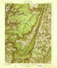
 1939 Orbisonia1954 Print · USGSCovers Fulton County, including Metal Township, Three Springs, and other nearby areas7 unique versions available
 - 1940 Map of Orbisonia
 1940 Orbisonia1940 Print · USGSCovers Fulton County, including Metal Township, Three Springs, and other nearby areas2 unique versions available
 - 1942 Map of Hagerstown
 1942 Hagerstown1942 Print · USGSCovers Fulton County, including Hagerstown, Chambersburg, and other nearby areas
 - 1943 Map of Hagerstown
 1943 Hagerstown1943 Print · USGSCovers Fulton County, including Hagerstown, Chambersburg, and other nearby areas
 - 1943 Map of Mercersburg, 1952 Print
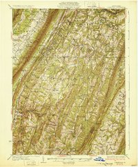
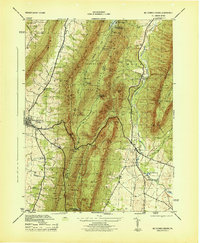
 1943 Mercersburg1952 Print · USGSCovers Fulton County, including Mercersburg, Ayr Township, and other nearby areas6 unique versions available
 - 1943 Map of Mercersburg, 1955 Print
 1943 Mercersburg1955 Print · USGSCovers Fulton County, including Metal Township, Mercersburg, and other nearby areas2 unique versions available
 - 1944 Map of Mercersburg
 1944 Mercersburg1944 Print · USGSCovers Fulton County, including Mercersburg, Ayr Township, and other nearby areas
 - 1944 Map of Mc Connellsburg
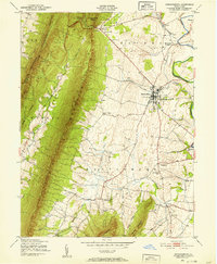
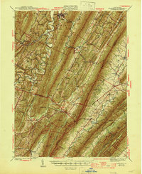
 1944 Mc Connellsburg1944 Print · USGSCovers Fulton County, including Metal Township, McConnellsburg, and other nearby areas5 unique versions available
 - 1944 Map of Orbisonia
 1944 Orbisonia1944 Print · USGSCovers Fulton County, including Metal Township, Three Springs, and other nearby areas3 unique versions available
 - 1944 Map of Clearville, 1945 Print
 1944 Clearville1945 Print · USGSCovers Fulton County, including Colerain Township, Bedford Township, and other nearby areas
 - 1948 Map of Baltimore
 1948 Baltimore1948 Print · USGSCovers Fulton County, including Baltimore, Columbia, and other nearby areas2 unique versions available
Showing maps 1-25 of 78
Top cities of Fulton County
Frequently asked questions
- What are the different types of historical maps available for Fulton County?
- What is the oldest map of Fulton County?
- Where can I purchase historical maps of Fulton County for my home or office?
- Where can I download high-res historical maps of Fulton County?
- Are there historical topographic maps available for Fulton County?
- Is there historical aerial imagery available for Fulton County?
- Where are historical maps of Fulton County sourced from?