Old Maps of Burr Hill, South Carolina
Explore 15 old maps of Burr Hill, spanning from 1918 to today. These high-resolution historic maps reveal how streets, neighborhoods, landmarks, and natural features evolved over time — perfect for genealogy, metal detecting, research, and local history exploration.
What you can do with these maps:
- See how Burr Hill changed over time: Compare historical maps to modern-day views to trace roads, homesites, rail lines & more.
- View detailed metadata: Each map includes creators, publishers, year, scale, and archive source.
- Overlay maps with satellite & LiDAR: Visualize the past alongside modern tools to explore terrain & human change.
- Trusted historical sources: Maps sourced from the USGS, Library of Congress, and other archives.
- Access maps your way: View online, download high-res files, or order prints for personal or research use.
Start exploring old maps of Burr Hill to uncover forgotten places, hidden landmarks, and the deep history beneath your feet.
Burr Hill, SC maps
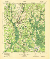
(15)- 1918 Map of Walterboro
 1918 Walterboro1918 Print · USGSColleton County at the end of the Great War reveals a landscape of river-centered commerce and scattered rural settlements. Family historians can trace ancestral locations through the many churches and schools, such as Catholic Hill, Evergreen Church, and Koger School.4 unique versions available
 - 1943 Map of Walterboro
 1943 Walterboro1943 Print · USGSSouth Carolina’s coastal plain is captured here in the mid-1940s, centered on the growing hub of Walterboro. Genealogists and historians can trace old family footprints through dozens of rural sites like Catholic Hill, Liveoak Cemetery, and Mashawville Sch.
 - 1947 Map of Savannah
 1947 Savannah1947 Print · USGSCoastal Georgia and South Carolina are captured here in the mid-forties, showing the rail-and-river networks of the Lowcountry. Genealogists and researchers can trace old crossroads and river towns from Statesboro to Beaufort, alongside military sites like Camp Stewart and Parris Island.
 - 1948 Map of Savannah
 1948 Savannah1948 Print · USGSThe Georgia and South Carolina Lowcountry comes alive in this post-war survey of the coast and its river-fed hinterlands. Genealogists and historians can trace rail lines like the Central of Georgia RR and find established settlements such as Isle of Hope and Sylvania.
 - 1957 Map of Savannah, 1967 Print
 1957 Savannah1967 Print · USGSThe Lowcountry and Georgia coastal plain are shown here in the late fifties, prior to modern expansion. Researchers can trace the rail-and-river economy through the Central of Georgia lines and the Ogeechee River wetlands.4 unique versions available
 - 1960 Map of Savannah
 1960 Savannah1960 Print · USGSCoastal Georgia and the South Carolina Lowcountry are captured in the late fifties, showcasing the intricate web of islands and tidal rivers before modern expansion. Researchers can trace the rail lines of the Atlantic Coast Line or locate sites like Parris Island, Beaufort, and the Tybee Lighthouse.
 - 1961 Map of Savannah
 1961 Savannah1961 Print · USGSThe Georgia and South Carolina Lowcountry comes alive in this mid-century survey of coastal marshes, barrier islands, and river networks. Genealogists and historians can trace the paths of the Seaboard Air Line RR, locate family sites near Isle of Hope, or study the grounds of Fort Stewart Military Reservation.2 unique versions available
 - 1986 Map of Walterboro
 1986 Walterboro1986 Print · USGSThe South Carolina Lowcountry in the mid-eighties remains a world of expansive wetlands and historic river crossings. Genealogists and historians can trace the rural communities and landmarks of Colleton and Charleston counties, from the Baptist Church at Adams Run to the coastal reaches of Edisto Beach State Park.
 - 1988 Map of Round O
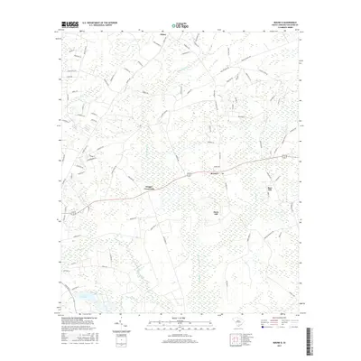
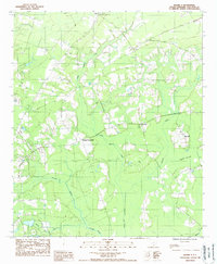 1988 Round O1988 Print · USGSColleton County's rural heart is documented here in the late 1980s, revealing a landscape of dense swamps and historic crossroads. Researchers can trace the layout of small communities like Round O and Drigger Crossroads alongside the winding Fuller Swamp Creek.
 - 1990 Map of Walterboro
 1990 Walterboro1990 Print · USGSCoastal South Carolina and its dense river networks are documented here in the early nineties as the Charleston suburbs expanded westward. Genealogists and historians can trace old community hubs like Clubhouse Crossroads, the site of Givhans Ferry, and several Strip Mines north of the Stono River.
 - 2011 Map of Round O, 2011 Print
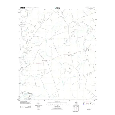 2011 Round O2011 Print · USGSCovers Burr Hill, including Hiotts, Davis Hill, and other nearby areas
 - 2014 Map of Round O, 2014 Print
 2014 Round O2014 Print · USGSCovers Burr Hill, including Hiotts, Davis Hill, and other nearby areas
 - 2017 Map of Round O, 2017 Print
 2017 Round O2017 Print · USGSCovers Burr Hill, including Hiotts, Davis Hill, and other nearby areas
 - 2020 Map of Round O, 2020 Print
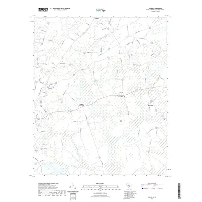 2020 Round O2020 Print · USGSCovers Burr Hill, including Hiotts, Davis Hill, and other nearby areas
 - 2024 Map of Round O, 2024 Print
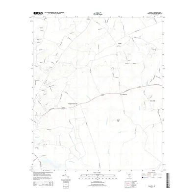
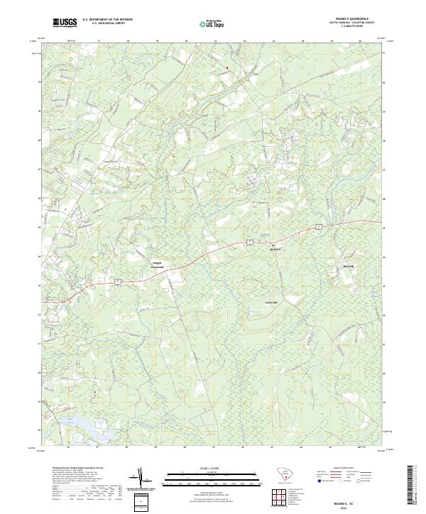 2024 Round O2024 Print · USGSColleton County is shown here in the 2020s, highlighting a landscape defined by its rural crossroads and extensive swamp drainage systems. Researchers can locate family sites and local landmarks near Round O, Drigger Crossroads, and Lake Lucious.
End of results
Showing maps 1-15 of 15
Top cities near Burr Hill
- Walterboro historical maps
- Hollywood historical maps
- Ridgeville historical maps
- Meggett historical maps
- Cottageville historical maps
Frequently asked questions
- What are the different types of historical maps available for Burr Hill?
- What is the oldest map of Burr Hill?
- Where can I purchase historical maps of Burr Hill for my home or office?
- Where can I download high-res historical maps of Burr Hill?
- Are there historical topographic maps available for Burr Hill?
- Is there historical aerial imagery available for Burr Hill?
- Where are historical maps of Burr Hill sourced from?