Old Maps of Lancaster, South Carolina
Explore 24 old maps of Lancaster, spanning from 1941 to today. These high-resolution historic maps reveal how streets, neighborhoods, landmarks, and natural features evolved over time — perfect for genealogy, metal detecting, research, and local history exploration.
What you can do with these maps:
- See how Lancaster changed over time: Compare historical maps to modern-day views to trace roads, homesites, rail lines & more.
- View detailed metadata: Each map includes creators, publishers, year, scale, and archive source.
- Overlay maps with satellite & LiDAR: Visualize the past alongside modern tools to explore terrain & human change.
- Trusted historical sources: Maps sourced from the USGS, Library of Congress, and other archives.
- Access maps your way: View online, download high-res files, or order prints for personal or research use.
Start exploring old maps of Lancaster to uncover forgotten places, hidden landmarks, and the deep history beneath your feet.
Lancaster, SC maps
(24)- 1941 Map of Spartanburg
 1941 Spartanburg1941 Print · USGSSouth Carolina’s Piedmont and Sandhills regions are shown here during the mid-century peak of the rail era. Researchers can trace the sprawling Fort Jackson Military Reservation and the industrial growth of hubs like Spartanburg and Rock Hill.
 - 1953 Map of Spartanburg, 1966 Print
 1953 Spartanburg1966 Print · USGSMid-century South Carolina comes into focus through this survey of the Piedmont and the Sand Hills at a time of significant reservoir expansion. Researchers can trace the legacy of industrial transit and resource extraction from the Haile Gold Mine to the rail hubs of the Seaboard Air Line.4 unique versions available
 - 1960 Map of Spartanburg
 1960 Spartanburg1960 Print · USGSThe South Carolina Piedmont and North Carolina borderlands come alive in this mid-century survey of the region between Spartanburg and Columbia. Researchers can trace the Seaboard Air Line railroad and explore landmarks like Anderson Quarry, Lake Murray, and Mount Croghan.2 unique versions available
 - 1963 Map of Spartanburg
 1963 Spartanburg1963 Print · USGSMid-century South Carolina comes alive in this survey, showing the rail-linked corridor between the Upstate and the Midlands. Genealogists can trace family lands near old hubs like Union and Lancaster, or along the banks of the Broad River and Pee Dee River.
 - 1964 Map of Spartanburg
 1964 Spartanburg1964 Print · USGSMid-century South Carolina comes alive in this survey of the Piedmont and Upcountry, stretching from the Blue Ridge foothills to the Sandhills. Genealogists and historians can trace the rail-and-river economy through Monarch Mills, Glenn Springs, and the Southern Railway corridor.
 - 1968 Map of Van Wyck, 1970 Print
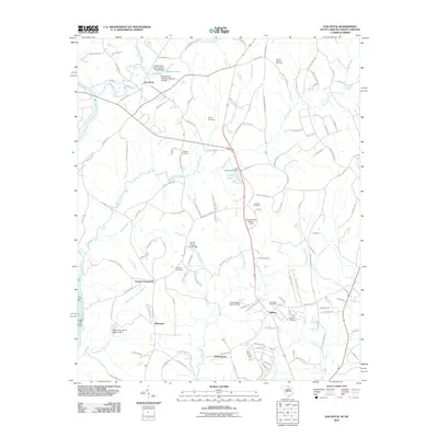
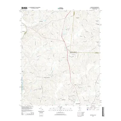
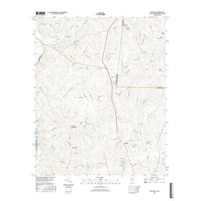
 1968 Van Wyck1970 Print · USGSUpper Lancaster County comes into focus in the late sixties as the rail lines and river valleys shaped local life. Genealogists can locate family landmarks like White Oak Ch, Fosters Crossroads, and the Andrew Jackson Memorial.2 unique versions available
 - 1969 Map of Antioch, 1971 Print
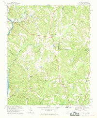
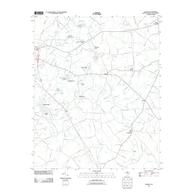
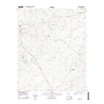
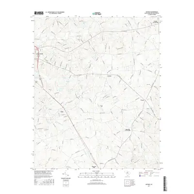
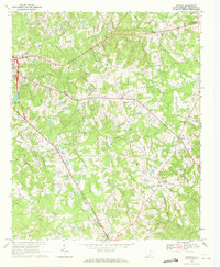 1969 Antioch1971 Print · USGSLancaster and its rural surroundings are captured in the late sixties, showing a landscape shaped by the SOUTHERN railroad and local waterways. Genealogists can trace family roots through numerous landmarks like Caskey Cem, Oak Ridge Ch, and the community at Rich Hill Crossroads.2 unique versions available
 - 1969 Map of Lancaster, 1971 Print
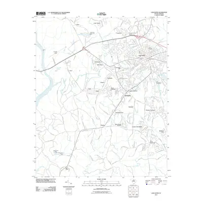
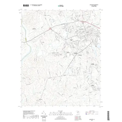
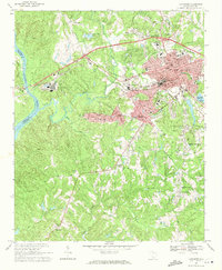 1969 Lancaster1971 Print · USGSLancaster and its surrounding Piedmont countryside are shown at a peak of mid-century industrial and civic growth. Researchers can trace family sites at Bell Town, locate rural landmarks like Mt Moriah Ch, or study the rail layout of the Lancaster and Chester.3 unique versions available
 - 1986 Map of Lancaster
 1986 Lancaster1986 Print · USGSThe Carolina borderlands are captured in the mid-1980s as a thriving corridor of rail towns and diverse geography. Researchers can trace the region's heritage through landmarks like Forty Acre Rock, the Southern RR line, and rural sites such as Heath Springs Church.2 unique versions available
 - 2011 Map of Lancaster, 2011 Print
 2011 Lancaster2011 Print · USGSCovers Lancaster, including Bell Town, Lancaster Mill, and other nearby areas
 - 2011 Map of Antioch, 2011 Print
 2011 Antioch2011 Print · USGSCovers Lancaster, including Pleasant Dale, Elgin Woods, and other nearby areas
 - 2011 Map of Van Wyck, 2011 Print
 2011 Van Wyck2011 Print · USGSCovers Lancaster, including Shiloh, Arrowood Estates, and other nearby areas
 - 2014 Map of Lancaster, 2014 Print
 2014 Lancaster2014 Print · USGSCovers Lancaster, including Bell Town, Lancaster Mill, and other nearby areas
 - 2014 Map of Antioch, 2014 Print
 2014 Antioch2014 Print · USGSCovers Lancaster, including Pleasant Dale, Elgin Woods, and other nearby areas
 - 2014 Map of Van Wyck, 2014 Print
 2014 Van Wyck2014 Print · USGSCovers Lancaster, including Shiloh, Arrowood Estates, and other nearby areas
 - 2017 Map of Antioch, 2017 Print
 2017 Antioch2017 Print · USGSCovers Lancaster, including Pleasant Dale, Elgin Woods, and other nearby areas
 - 2017 Map of Van Wyck, 2017 Print
 2017 Van Wyck2017 Print · USGSCovers Lancaster, including Shiloh, Arrowood Estates, and other nearby areas
 - 2017 Map of Lancaster, 2017 Print
 2017 Lancaster2017 Print · USGSCovers Lancaster, including Bell Town, Lancaster Mill, and other nearby areas
 - 2020 Map of Lancaster, 2020 Print
 2020 Lancaster2020 Print · USGSCovers Lancaster, including Bell Town, Lancaster Mill, and other nearby areas
 - 2020 Map of Antioch, 2020 Print
 2020 Antioch2020 Print · USGSCovers Lancaster, including Pleasant Dale, Elgin Woods, and other nearby areas
 - 2020 Map of Van Wyck, 2020 Print
 2020 Van Wyck2020 Print · USGSCovers Lancaster, including Shiloh, Arrowood Estates, and other nearby areas
 - 2024 Map of Van Wyck, 2024 Print
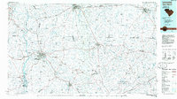
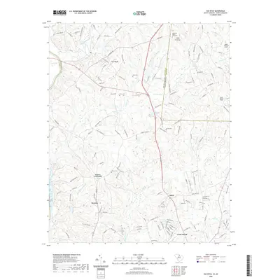
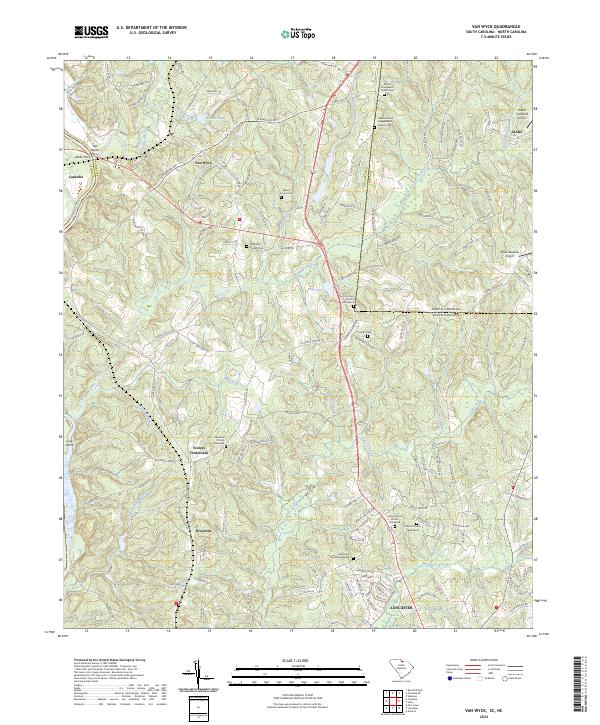 2024 Van Wyck2024 Print · USGSThe river-and-creek landscape of the Carolinas borderland is captured here in detail, showing the rural communities of Van Wyck and Riverside. Genealogists and local historians can trace family roots through numerous burial sites including Cureton Cem and the Waxhaw Church Graveyard.
 - 2024 Map of Antioch, 2024 Print
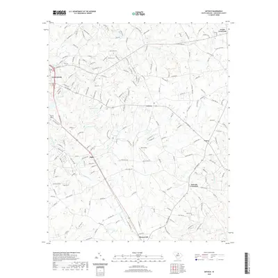
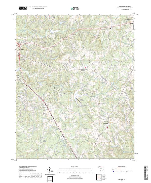 2024 Antioch2024 Print · USGSEast of Lancaster in the 2020s, this area maintains its character through a web of rural crossroads and family-named cemeteries. Researchers can trace local lineages at Oak Ridge ARP Church Cem or locate the historic Hopewell Church Graveyard near Buford.
 - 2024 Map of Lancaster, 2024 Print
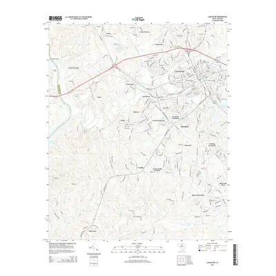
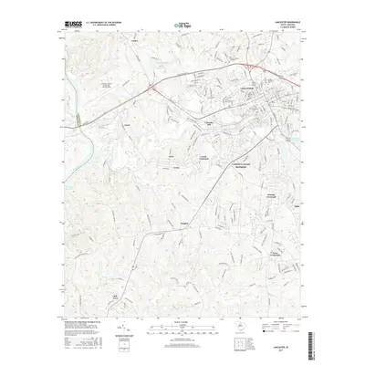
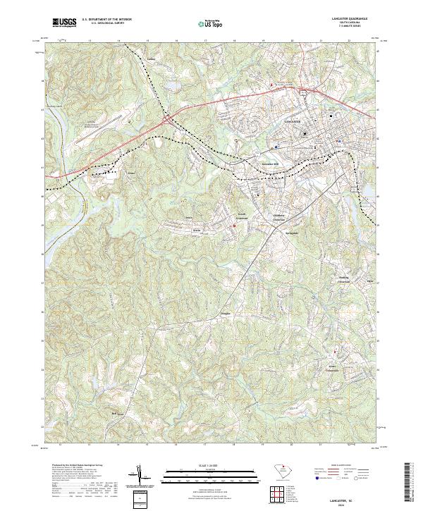 2024 Lancaster2024 Print · USGSLancaster and its surrounding South Carolina crossroads are captured in this modern survey of the county seat and its industrial outskirts. Researchers can locate family landmarks like the Olde Presbyterian Church Cem, Lancaster Mill, and Jones Crossroads.
End of results
Showing maps 1-24 of 24
Top cities near Lancaster
- Rock Hill historical maps
- Monroe historical maps
- Fort Mill historical maps
- Waxhaw historical maps
- Mineral Springs historical maps
- Great Falls historical maps
See more
Top neighborhoods of Lancaster
Frequently asked questions
- What are the different types of historical maps available for Lancaster?
- What is the oldest map of Lancaster?
- Where can I purchase historical maps of Lancaster for my home or office?
- Where can I download high-res historical maps of Lancaster?
- Are there historical topographic maps available for Lancaster?
- Is there historical aerial imagery available for Lancaster?
- Where are historical maps of Lancaster sourced from?