Old Maps of Gray Court, South Carolina
Explore 17 old maps of Gray Court, spanning from 1954 to today. These high-resolution historic maps reveal how streets, neighborhoods, landmarks, and natural features evolved over time — perfect for genealogy, metal detecting, research, and local history exploration.
What you can do with these maps:
- See how Gray Court changed over time: Compare historical maps to modern-day views to trace roads, homesites, rail lines & more.
- View detailed metadata: Each map includes creators, publishers, year, scale, and archive source.
- Overlay maps with satellite & LiDAR: Visualize the past alongside modern tools to explore terrain & human change.
- Trusted historical sources: Maps sourced from the USGS, Library of Congress, and other archives.
- Access maps your way: View online, download high-res files, or order prints for personal or research use.
Start exploring old maps of Gray Court to uncover forgotten places, hidden landmarks, and the deep history beneath your feet.
Gray Court, SC maps
(17)- 1954 Map of Greenville, 1965 Print
 1954 Greenville1965 Print · USGSThe Upstate and Northeast Georgia are captured here during a decade of massive transformation as new reservoirs reshaped the Piedmont. Genealogists and hikers can trace the Appalachian Trail over Brasstown Bald or locate old community centers like Demorest, Westminster, and Royston.3 unique versions available
 - 1957 Map of Fountain Inn, 1958 Print
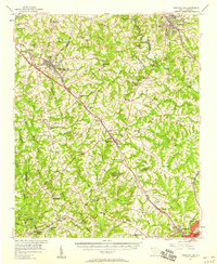 1957 Fountain Inn1958 Print · USGSThe South Carolina upstate's rural textile and transit corridor is captured here in the late fifties, following the rail line through Fountain Inn and Gray Court. Genealogists can trace family landmarks and rural life at Hickory Tavern, Knighton Chapel, and Bryson High Sch.
 - 1958 Map of Greenville
 1958 Greenville1958 Print · USGSThe Piedmont and Blue Ridge foothills come alive in this mid-century survey of the Upstate and Northeast Georgia. Trace the regional rail-and-river economy through the Southern Railway corridors and early reservoir developments like Lake Sidney Lanier.
 - 1983 Map of Hickory Tavern
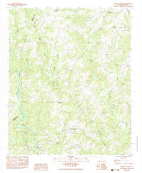 1983 Hickory Tavern1983 Print · USGSLaurens County rural life is captured in the early 1980s, centered on the crossroads of Hickory Tavern. Genealogists and local historians can trace family locations near Dials Ch, Henderson, and the waters of Tumbling Shoals.
 - 1983 Map of Laurens North
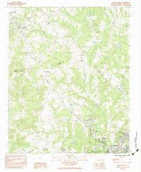 1983 Laurens North1983 Print · USGSLaurens and the upstate South Carolina Piedmont are documented here in the early eighties as rural life transitioned toward modern industrial growth. Genealogists can locate family landmarks like Knight Cem, Highland Home Ch, and the old Gray Court-Owings Sch.
 - 1984 Map of Greenville
 1984 Greenville1984 Print · USGSThe South Carolina Upstate undergoes rapid suburban growth in the mid-eighties as modern interstates begin to reshape the landscape. Researchers can trace historic rail lines like the Greenville and Northern Railway and locate local landmarks such as Clemson University and Paris Mountain State Park.
 - 1991 Map of Greenville
 1991 Greenville1991 Print · USGSThe South Carolina Upstate was a landscape of rapid growth and engineering in the early nineties. Researchers can trace the expansion of Greenville and Spartanburg, find Clemson University, or study the massive reservoirs of Hartwell Lake and Lake Keowee.
 - 2011 Map of Laurens North, 2011 Print
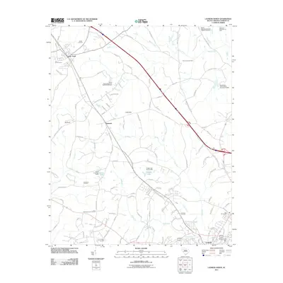 2011 Laurens North2011 Print · USGSCovers Gray Court, including Laurens, Barksdale, and other nearby areas
 - 2011 Map of Hickory Tavern, 2011 Print
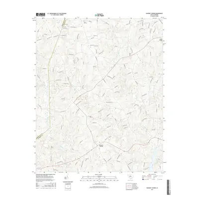
 2011 Hickory Tavern2011 Print · USGSCovers Gray Court, including Green Pond, Hickory Tavern, and other nearby areas
 - 2014 Map of Hickory Tavern, 2014 Print
 2014 Hickory Tavern2014 Print · USGSCovers Gray Court, including Green Pond, Hickory Tavern, and other nearby areas
 - 2014 Map of Laurens North, 2014 Print
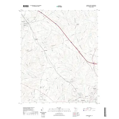
 2014 Laurens North2014 Print · USGSCovers Gray Court, including Laurens, Barksdale, and other nearby areas
 - 2017 Map of Laurens North, 2017 Print
 2017 Laurens North2017 Print · USGSCovers Gray Court, including Laurens, Barksdale, and other nearby areas
 - 2017 Map of Hickory Tavern, 2017 Print
 2017 Hickory Tavern2017 Print · USGSCovers Gray Court, including Green Pond, Hickory Tavern, and other nearby areas
 - 2020 Map of Hickory Tavern, 2020 Print
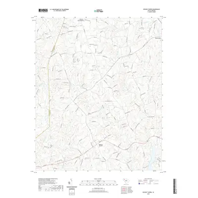 2020 Hickory Tavern2020 Print · USGSCovers Gray Court, including Green Pond, Hickory Tavern, and other nearby areas
 - 2020 Map of Laurens North, 2020 Print
 2020 Laurens North2020 Print · USGSCovers Gray Court, including Laurens, Barksdale, and other nearby areas
 - 2024 Map of Hickory Tavern, 2024 Print
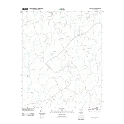
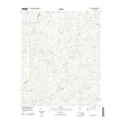
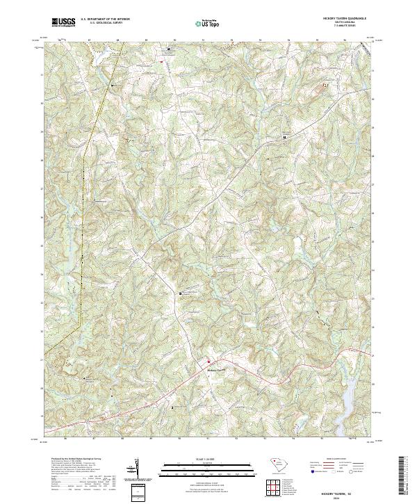 2024 Hickory Tavern2024 Print · USGSThe rural communities of Laurens County are captured in this recent survey, showcasing a landscape defined by the forks of North Rabon Creek and the Reedy River. Researchers can trace local lineage through numerous documented burial sites, including the Dials Church Graveyard, Babb Cem, and the historic Tumbling Shoals area.
 - 2024 Map of Laurens North, 2024 Print
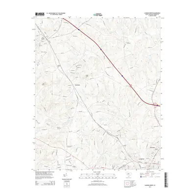
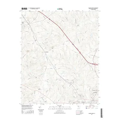
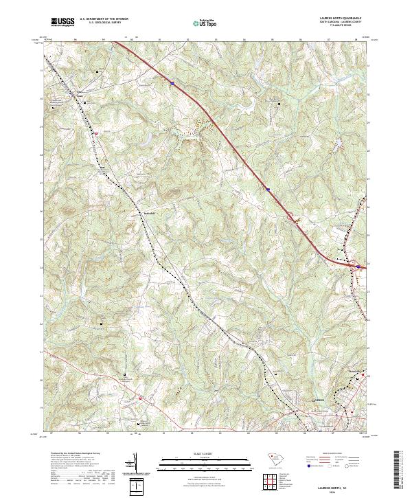 2024 Laurens North2024 Print · USGSLaurens and the surrounding Upcountry communities are captured here in a contemporary view of their evolving landscape. Genealogists can trace ancestral sites through the Bolt Family Cem, Barksdale Cem, and several historic Baptist church graveyards.
End of results
Showing maps 1-17 of 17
Top cities near Gray Court
- Greenville historical maps
- Mauldin historical maps
- Simpsonville historical maps
- Fountain Inn historical maps
- Laurens historical maps
- Clinton historical maps
See more
Frequently asked questions
- What are the different types of historical maps available for Gray Court?
- What is the oldest map of Gray Court?
- Where can I purchase historical maps of Gray Court for my home or office?
- Where can I download high-res historical maps of Gray Court?
- Are there historical topographic maps available for Gray Court?
- Is there historical aerial imagery available for Gray Court?
- Where are historical maps of Gray Court sourced from?