Old Maps of Sansarc, South Dakota
Explore 8 old maps of Sansarc, spanning from 1954 to today. These high-resolution historic maps reveal how streets, neighborhoods, landmarks, and natural features evolved over time — perfect for genealogy, metal detecting, research, and local history exploration.
What you can do with these maps:
- See how Sansarc changed over time: Compare historical maps to modern-day views to trace roads, homesites, rail lines & more.
- View detailed metadata: Each map includes creators, publishers, year, scale, and archive source.
- Overlay maps with satellite & LiDAR: Visualize the past alongside modern tools to explore terrain & human change.
- Trusted historical sources: Maps sourced from the USGS, Library of Congress, and other archives.
- Access maps your way: View online, download high-res files, or order prints for personal or research use.
Start exploring old maps of Sansarc to uncover forgotten places, hidden landmarks, and the deep history beneath your feet.
Sansarc, SD maps
(8)- 1954 Map of Pierre, 1968 Print
 1954 Pierre1968 Print · USGSThe Missouri River and the newly formed Oahe Reservoir define central South Dakota in the 1950s. Genealogists and local historians can trace early settlements and rail stops like Eakin Siding, Mission Ridge, and Ottumwa.2 unique versions available
 - 1958 Map of Pierre
 1958 Pierre1958 Print · USGSCentral South Dakota is documented during the mid-fifties, just as the Missouri River valley was being transformed by the massive Oahe Dam project. Researchers can trace the early Oahe Reservoir shoreline and find remote outposts like Milesville, Onida, and Giddings Flat.
 - 1982 Map of Sansarc, 1983 Print
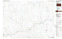
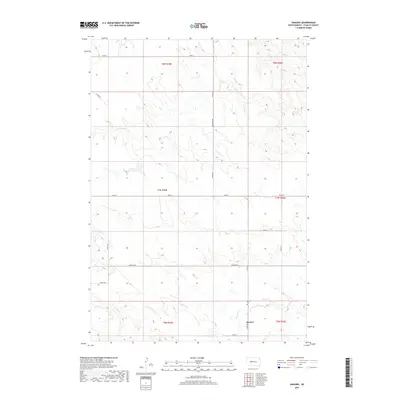
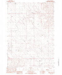 1982 Sansarc1983 Print · USGSStanley County ranching life is preserved here as it appeared in the late seventies. Family researchers can locate historic property holdings including the Scarborough Ranch, Olson Ranch, and the Sansarc Cem.
 - 1986 Map of Cherry Creek
 1986 Cherry Creek1986 Print · USGSWest-central South Dakota comes to life in the mid-1980s, centered on the Cheyenne River Indian Reservation and the river's winding path. Genealogists and historians can trace the remote settlements of Red Scaffold and Milesville or locate family landmarks like Staple M Cliffs and Robbs Flat.2 unique versions available
 - 2012 Map of Sansarc, 2012 Print
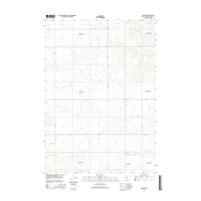
 2012 Sansarc2012 Print · USGSCovers Sansarc, including Stanley County, United States, and other nearby areas
 - 2015 Map of Sansarc, 2015 Print
 2015 Sansarc2015 Print · USGSCovers Sansarc, including Stanley County, United States, and other nearby areas
 - 2017 Map of Sansarc, 2017 Print
 2017 Sansarc2017 Print · USGSCovers Sansarc, including Stanley County, United States, and other nearby areas
 - 2021 Map of Sansarc, 2021 Print
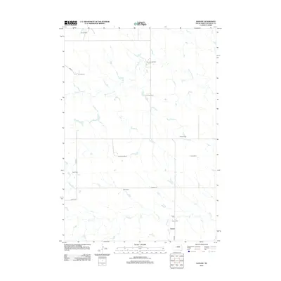
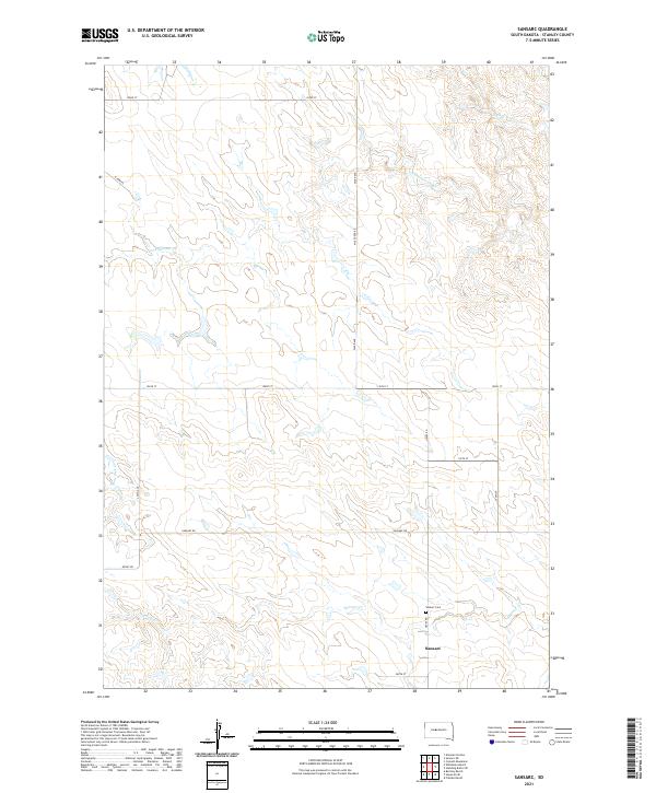 2021 Sansarc2021 Print · USGSStanley County ranching country is documented here during the early twenty-first century. Researchers can locate the rural community of Sansarc, the Sansarc Cem, and the drainage of N Fork Sansarc Cr.
End of results
Showing maps 1-8 of 8
Frequently asked questions
- What are the different types of historical maps available for Sansarc?
- What is the oldest map of Sansarc?
- Where can I purchase historical maps of Sansarc for my home or office?
- Where can I download high-res historical maps of Sansarc?
- Are there historical topographic maps available for Sansarc?
- Is there historical aerial imagery available for Sansarc?
- Where are historical maps of Sansarc sourced from?