Old Maps of Centerville, Tennessee
Explore 17 old maps of Centerville, spanning from 1901 to today. These high-resolution historic maps reveal how streets, neighborhoods, landmarks, and natural features evolved over time — perfect for genealogy, metal detecting, research, and local history exploration.
What you can do with these maps:
- See how Centerville changed over time: Compare historical maps to modern-day views to trace roads, homesites, rail lines & more.
- View detailed metadata: Each map includes creators, publishers, year, scale, and archive source.
- Overlay maps with satellite & LiDAR: Visualize the past alongside modern tools to explore terrain & human change.
- Trusted historical sources: Maps sourced from the USGS, Library of Congress, and other archives.
- Access maps your way: View online, download high-res files, or order prints for personal or research use.
Start exploring old maps of Centerville to uncover forgotten places, hidden landmarks, and the deep history beneath your feet.
Centerville, TN maps
(17)- 1901 Map of Colombia
 1901 Colombia1901 Print · USGSMiddle Tennessee at the close of the century reveals a landscape shaped by river bends and a dense network of turnpikes. Genealogists can trace family roots through settlements like Santa Fe and Warner or locate landmarks such as the U.S. Arsenal and Zion Ch.3 unique versions available
 - 1936 Map of Nunnelly
 1936 Nunnelly1936 Print · USGSHickman County in the mid-1930s is a landscape of river-bend settlements and emerging industrial power. Researchers can trace the legacy of local mining at Nunnelly Mines, locate family sites near Defeated Creek Sch, or find the CCC Camp No 1468 near Nunnelly.
 - 1936 Map of Whitfield
 1936 Whitfield1936 Print · USGSHickman County settlement is captured here in the mid-1930s, showing the intricate network of hollows and river bends along the Duck River. Researchers can locate several rural schools and family cemeteries like Settle Point Sch, Hickman Cem, and Mt Pillar Sch.
 - 1952 Map of Whitfield, 1957 Print
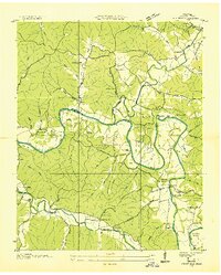
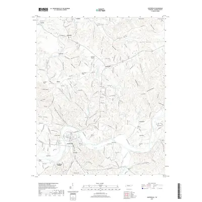
 1952 Whitfield1957 Print · USGSHickman County, Tennessee, is captured here in the early fifties, where life centered on the great loops of the Duck River. Researchers can trace old family sites and rural landmarks like Mt Carmel Sch, Huddleston Bridge, and the community of Whitfield.2 unique versions available
 - 1952 Map of Centerville, 1988 Print
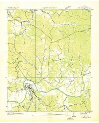
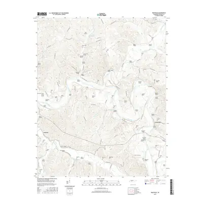
 1952 Centerville1988 Print · USGSHickman County settlement and industry are captured here in the mid-twentieth century as the regional economy shifted. Trace old mining operations at the Nunnelly Mines or locate rural landmarks like Grinders Switch and Shipp Bend Ch.
 - 1956 Map of Columbia, 1960 Print
 1956 Columbia1960 Print · USGSMiddle Tennessee in the mid-fifties presents a landscape of established river towns and critical rail hubs before the arrival of the modern interstate system. Researchers can trace the routes of the Louisville and Nashville railroad or locate historic landmarks like Stones River National Military Park and the Tennessee National Wildlife Refuge.6 unique versions available
 - 1986 Map of Hohenwald
 1986 Hohenwald1986 Print · USGSThe Western Highland Rim of Tennessee comes into focus during the mid-eighties, showing the deep river valleys and high ridges of Lewis and Perry counties. Researchers can trace the path of the Natchez Trace Parkway or locate interior settlements like Chestnut Grove, Farmers Exchange, and Hustburg.3 unique versions available
 - 2010 Map of Whitfield, 2010 Print
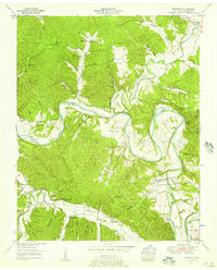
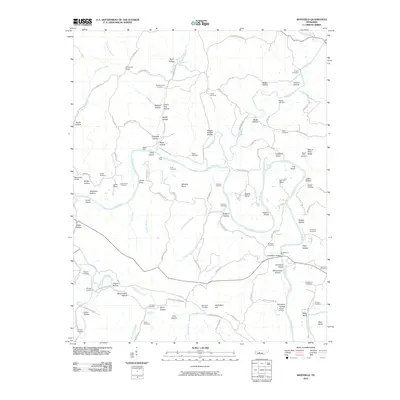 2010 Whitfield2010 Print · USGSCovers Centerville, including Whitfield, Hickman County, and other nearby areas
 - 2010 Map of Centerville, 2010 Print
 2010 Centerville2010 Print · USGSCovers Centerville, including Graytown, Twomey, and other nearby areas
 - 2013 Map of Centerville, 2013 Print
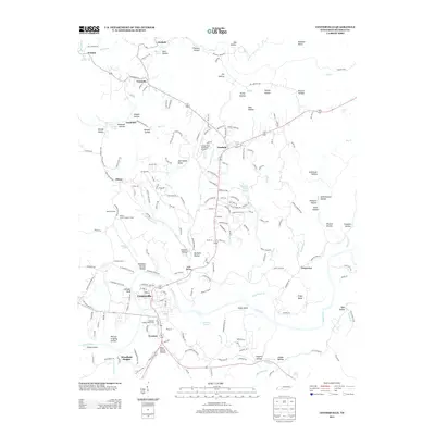 2013 Centerville2013 Print · USGSCovers Centerville, including Graytown, Twomey, and other nearby areas
 - 2013 Map of Whitfield, 2013 Print
 2013 Whitfield2013 Print · USGSCovers Centerville, including Whitfield, Hickman County, and other nearby areas
 - 2016 Map of Whitfield, 2016 Print
 2016 Whitfield2016 Print · USGSCovers Centerville, including Whitfield, Hickman County, and other nearby areas
 - 2016 Map of Centerville, 2016 Print
 2016 Centerville2016 Print · USGSCovers Centerville, including Graytown, Twomey, and other nearby areas
 - 2019 Map of Whitfield, 2019 Print
 2019 Whitfield2019 Print · USGSCovers Centerville, including Whitfield, Hickman County, and other nearby areas
 - 2019 Map of Centerville, 2019 Print
 2019 Centerville2019 Print · USGSCovers Centerville, including Graytown, Twomey, and other nearby areas
 - 2022 Map of Whitfield, 2022 Print
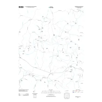
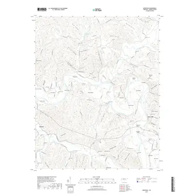
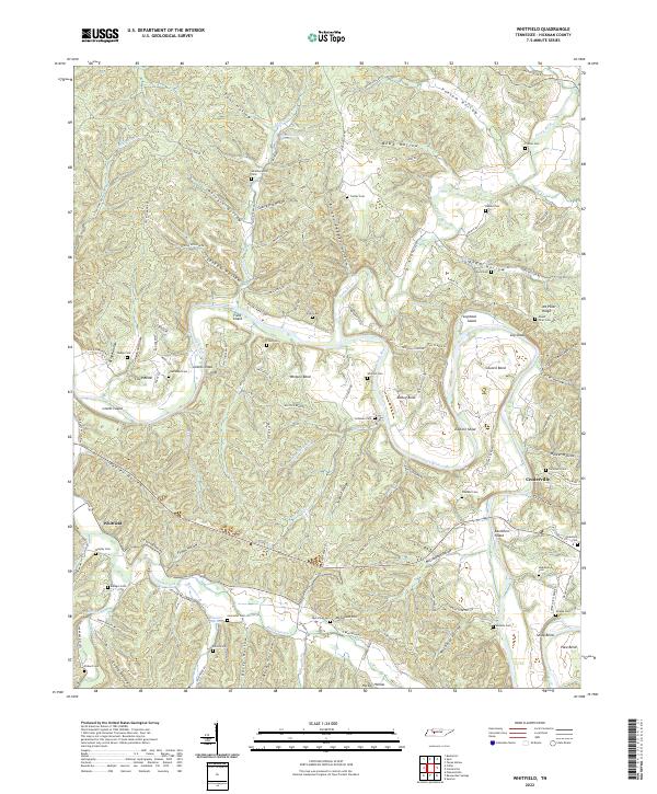 2022 Whitfield2022 Print · USGSHickman County settlement patterns are deeply tied to the winding courses of the Duck River and Piney River in the modern era. Genealogists can trace family heritage through numerous burial sites like Fowkes Cem, Huddleston Cem, and Lancaster Cem.
 - 2022 Map of Centerville, 2022 Print
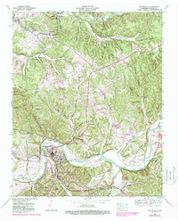
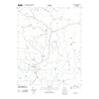
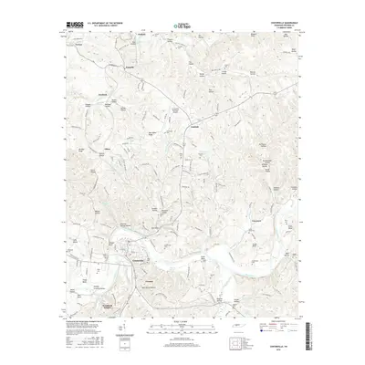
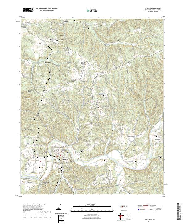 2022 Centerville2022 Print · USGSCenterville and the Duck River valley are shown in high detail during the early 2020s. Genealogists can locate family burial sites like Gossett Cem and Huddleston Cem or trace the geography of Tottys Bend and Nunnelly.
End of results
Showing maps 1-17 of 17
Top cities near Centerville
Top neighborhoods of Centerville
Frequently asked questions
- What are the different types of historical maps available for Centerville?
- What is the oldest map of Centerville?
- Where can I purchase historical maps of Centerville for my home or office?
- Where can I download high-res historical maps of Centerville?
- Are there historical topographic maps available for Centerville?
- Is there historical aerial imagery available for Centerville?
- Where are historical maps of Centerville sourced from?