Old Maps of McConnell, Tennessee
Explore 9 old maps of McConnell, spanning from 1956 to today. These high-resolution historic maps reveal how streets, neighborhoods, landmarks, and natural features evolved over time — perfect for genealogy, metal detecting, research, and local history exploration.
What you can do with these maps:
- See how McConnell changed over time: Compare historical maps to modern-day views to trace roads, homesites, rail lines & more.
- View detailed metadata: Each map includes creators, publishers, year, scale, and archive source.
- Overlay maps with satellite & LiDAR: Visualize the past alongside modern tools to explore terrain & human change.
- Trusted historical sources: Maps sourced from the USGS, Library of Congress, and other archives.
- Access maps your way: View online, download high-res files, or order prints for personal or research use.
Start exploring old maps of McConnell to uncover forgotten places, hidden landmarks, and the deep history beneath your feet.
McConnell, TN maps
(9)- 1956 Map of Mc Connell, 1958 Print
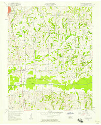 1956 Mc Connell1958 Print · USGSWeakley County at the end of the steam era shows a landscape defined by the Illinois Central railroad and rural community centers. Genealogists can locate family landmarks like Chestnut Glade Sch, McFall Cem, and the church at Ruthville.3 unique versions available
 - 1956 Map of Dyersburg, 1960 Print
 1956 Dyersburg1960 Print · USGSThe Four Rivers region comes alive in the mid-fifties, capturing the intricate borderlands of Tennessee, Kentucky, and Missouri. Genealogists and historians can trace the rail-and-river networks connecting Dyersburg, Caruthersville, and the shoreline of Reelfoot Lake.4 unique versions available
 - 1972 Map of Martin
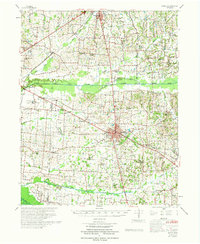 1972 Martin1972 Print · USGSWeakley and Obion Counties are captured here in the early 1970s as agricultural communities centered around the rail junction at Martin. Genealogists can trace family landmarks like Morris Slave Cem, Chestnut Glade Sch, and the Crockett Cem.
 - 1986 Map of McKenzie
 1986 McKenzie1986 Print · USGSWest Tennessee in the mid-eighties was a landscape defined by its deep river forks and the massive waters of Kentucky Lake. Researchers can trace the rail lines of the Louisville & Nashville RR and find local landmarks from Skullbone to the Paris Landing State Park.3 unique versions available
 - 2010 Map of McConnell, 2010 Print
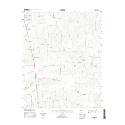
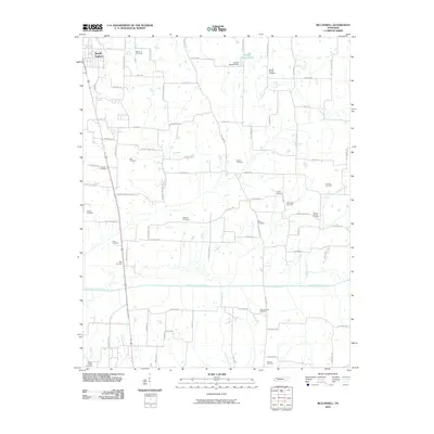 2010 McConnell2010 Print · USGSCovers McConnell, including South Fulton, Chestnut Glade, and other nearby areas
 - 2013 Map of McConnell, 2013 Print
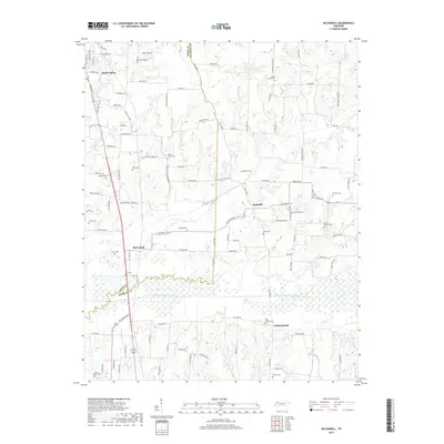
 2013 McConnell2013 Print · USGSCovers McConnell, including South Fulton, Chestnut Glade, and other nearby areas
 - 2016 Map of McConnell, 2016 Print
 2016 McConnell2016 Print · USGSCovers McConnell, including South Fulton, Chestnut Glade, and other nearby areas
 - 2019 Map of McConnell, 2019 Print
 2019 McConnell2019 Print · USGSCovers McConnell, including South Fulton, Chestnut Glade, and other nearby areas
 - 2022 Map of McConnell, 2022 Print
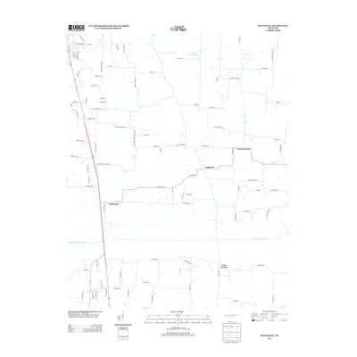
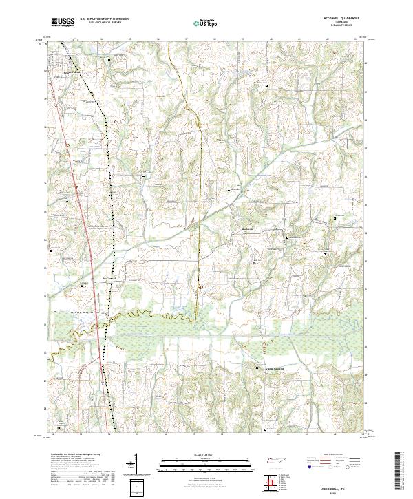 2022 McConnell2022 Print · USGSThis rural corridor of Weakley County and Obion County is shown in 2022 as it surrounds the meandering North Fork Obion River. Researchers can trace local lineage through a dense concentration of burial sites like New Hope Cem, Pate Cem, and Rucker Cem.
End of results
Showing maps 1-9 of 9
Top cities near McConnell
- Union City historical maps
- Martin historical maps
- Dresden historical maps
- Fulton historical maps
- South Fulton historical maps
- Sharon historical maps
See more
Frequently asked questions
- What are the different types of historical maps available for McConnell?
- What is the oldest map of McConnell?
- Where can I purchase historical maps of McConnell for my home or office?
- Where can I download high-res historical maps of McConnell?
- Are there historical topographic maps available for McConnell?
- Is there historical aerial imagery available for McConnell?
- Where are historical maps of McConnell sourced from?