Old Maps of Clinchco, Virginia
Explore 21 old maps of Clinchco, spanning from 1886 to today. These high-resolution historic maps reveal how streets, neighborhoods, landmarks, and natural features evolved over time — perfect for genealogy, metal detecting, research, and local history exploration.
What you can do with these maps:
- See how Clinchco changed over time: Compare historical maps to modern-day views to trace roads, homesites, rail lines & more.
- View detailed metadata: Each map includes creators, publishers, year, scale, and archive source.
- Overlay maps with satellite & LiDAR: Visualize the past alongside modern tools to explore terrain & human change.
- Trusted historical sources: Maps sourced from the USGS, Library of Congress, and other archives.
- Access maps your way: View online, download high-res files, or order prints for personal or research use.
Start exploring old maps of Clinchco to uncover forgotten places, hidden landmarks, and the deep history beneath your feet.
Clinchco, VA maps
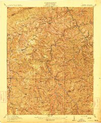
(21)- 1886 Map of Grundy
 1886 Grundy1886 Print · USGSThe Central Appalachian borderlands come alive in the late nineteenth century as small settlements and family outposts take hold in the hollows. Genealogists and historians can locate early communities like Clintwood and Grundy, or trace ancestral lands near Card P.O. and Sand Lick.
 - 1890 Map of Grundy
 1890 Grundy1890 Print · USGSThe Central Appalachian borderlands of Virginia and Kentucky are captured here in the late nineteenth century, showing a landscape of isolated mountain hollows. Genealogists and researchers can trace early settlements and river fords including Grundy, Clintwood, and the crossing at Fish Trap.
 - 1892 Map of Grundy
 1892 Grundy1892 Print · USGSThe Appalachian borderlands of Virginia and Kentucky appear here in the late nineteenth century, mapping the deep hollows and ridges of the coalfield region. Genealogists and historians can locate early settlement nodes like Ervinton, Sand Lick, and Grundy amidst landmarks like Pine Mountain.4 unique versions available
 - 1913 Map of Clintwood, 1962 Print
 1913 Clintwood1962 Print · USGSVirginia's rugged coal country is captured here during the early twentieth century, showing a landscape of isolated ridge-top schools and river-valley settlements. Genealogists can trace family footprints across dozens of local sites like Hatchet Church, Smith Corners, and the Nichols Gap School.
 - 1915 Map of Clintwood
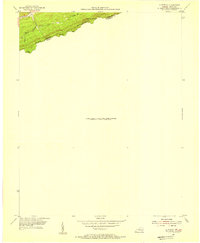
 1915 Clintwood1915 Print · USGSThe northern Virginia coalfields are captured here in the mid-1910s, revealing a landscape of winding river valleys and ridge-top gaps. Genealogists can trace dozens of early schools and family settlements such as Clintwood, Haysi, and Rainy Flat School.3 unique versions available
 - 1954 Map of Clintwood, 1955 Print
 1954 Clintwood1955 Print · USGSThe interstate line atop Pine Mountain was a critical boundary during the mid-fifties, separating Kentucky and Virginia. Researchers can trace the rugged network of mountain passes and waterways like Blowing Rock Gap, Lower Gap, and Elkhorn Creek.2 unique versions available
 - 1957 Map of Jenkins, 1974 Print
 1957 Jenkins1974 Print · USGSThe Cumberland Plateau in the mid-twentieth century reveals a complex landscape of winding river valleys and deep-seated industry. Genealogists and historians can trace the development of Hazard, Jenkins, and Pikeville alongside extensive Numerous Oil and Gas Fields and the routes of the Chesapeake & Ohio Railway.
 - 1960 Map of Jenkins
 1960 Jenkins1960 Print · USGSEastern Kentucky and the West Virginia borderlands are captured at a mid-century peak of the coal and rail era. Trace the industrial corridors of the Chesapeake and Ohio RR through mountain hubs like Hazard and Jenkins.
 - 1963 Map of Haysi, 1964 Print
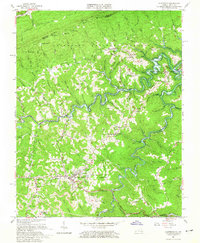
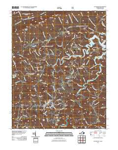
 1963 Haysi1964 Print · USGSDickenson County coal and timber country is captured here during the transition of the early sixties. Researchers can locate family cemeteries like Colley Cem, mountain schools including Bartlick Sch, and industrial landmarks along the CLINCHFIELD railroad at Clinchco and Splashdam.2 unique versions available
 - 1963 Map of Clintwood, 1965 Print
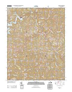
 1963 Clintwood1965 Print · USGSClintwood and the surrounding hollows of Dickenson County appear here during a decade of industrial activity and the creation of new waterways. Trace family roots at the Tandy Cemetery or locate old coal operations near Flemingtown and the Clinchfield RR.2 unique versions available
 - 1977 Map of Pikeville, 1983 Print
 1977 Pikeville1983 Print · USGSThe Central Appalachian coalfields and the rugged borders of Kentucky and Virginia come into focus during the late seventies. Researchers can trace the rail networks of the C & O and L & N through towns like Jenkins, Whitesburg, and Pikeville.
 - 2011 Map of Haysi, 2011 Print
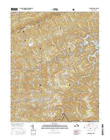
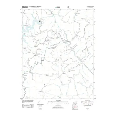 2011 Haysi2011 Print · USGSCovers Clinchco, including Haysi, Tarpon, and other nearby areas
 - 2011 Map of Clintwood, 2011 Print
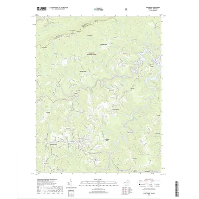
 2011 Clintwood2011 Print · USGSCovers Clinchco, including Clintwood, Dwale, and other nearby areas
 - 2013 Map of Haysi, 2013 Print
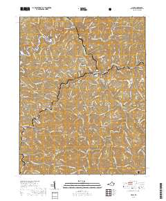
 2013 Haysi2013 Print · USGSCovers Clinchco, including Haysi, Tarpon, and other nearby areas
 - 2013 Map of Clintwood, 2013 Print
 2013 Clintwood2013 Print · USGSCovers Clinchco, including Clintwood, Dwale, and other nearby areas
 - 2016 Map of Haysi, 2016 Print
 2016 Haysi2016 Print · USGSCovers Clinchco, including Haysi, Tarpon, and other nearby areas
 - 2016 Map of Clintwood, 2016 Print
 2016 Clintwood2016 Print · USGSCovers Clinchco, including Clintwood, Dwale, and other nearby areas
 - 2019 Map of Clintwood, 2019 Print
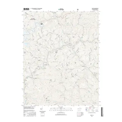
 2019 Clintwood2019 Print · USGSCovers Clinchco, including Clintwood, Dwale, and other nearby areas
 - 2019 Map of Haysi, 2019 Print
 2019 Haysi2019 Print · USGSCovers Clinchco, including Haysi, Tarpon, and other nearby areas
 - 2022 Map of Haysi, 2022 Print
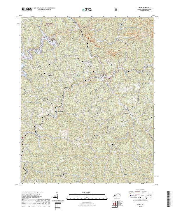 2022 Haysi2022 Print · USGSDickenson County’s mountain settlements and river valleys are captured here in the early twenty-first century. Family history researchers can locate dozens of burial sites like Colley Cem and Music Cem near the banks of the McClure River.
 - 2022 Map of Clintwood, 2022 Print
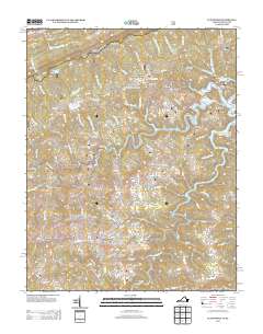
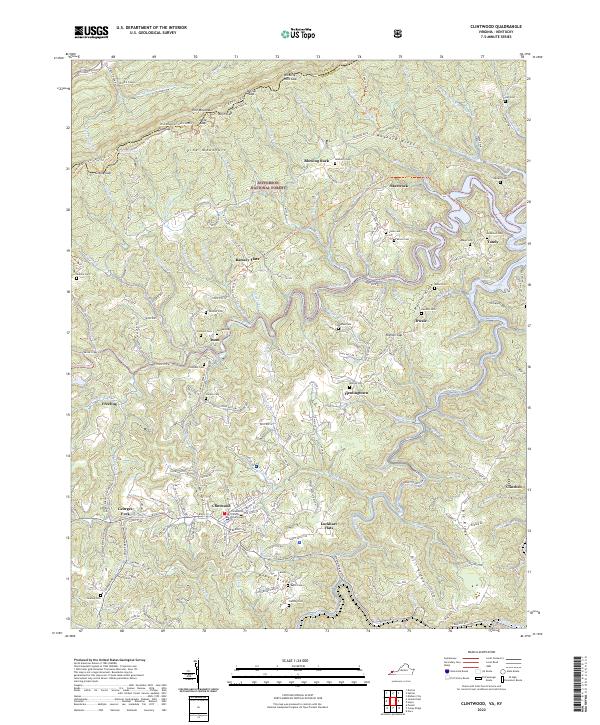 2022 Clintwood2022 Print · USGSThe town of Clintwood and the surrounding Dickenson County highlands appear in high detail during the early 2020s. Researchers can trace family history through many local sites like Fleming Cem, Moore Cem, and the settlement at Clinchco.
End of results
Showing maps 1-21 of 21
Top cities near Clinchco
- Wise historical maps
- Coeburn historical maps
- Clintwood historical maps
- Elkhorn City historical maps
- Grundy historical maps
- Dante historical maps
See more
Top neighborhoods of Clinchco
Frequently asked questions
- What are the different types of historical maps available for Clinchco?
- What is the oldest map of Clinchco?
- Where can I purchase historical maps of Clinchco for my home or office?
- Where can I download high-res historical maps of Clinchco?
- Are there historical topographic maps available for Clinchco?
- Is there historical aerial imagery available for Clinchco?
- Where are historical maps of Clinchco sourced from?