Old Maps of Upperville, Virginia
Explore 23 old maps of Upperville, spanning from 1894 to today. These high-resolution historic maps reveal how streets, neighborhoods, landmarks, and natural features evolved over time — perfect for genealogy, metal detecting, research, and local history exploration.
What you can do with these maps:
- See how Upperville changed over time: Compare historical maps to modern-day views to trace roads, homesites, rail lines & more.
- View detailed metadata: Each map includes creators, publishers, year, scale, and archive source.
- Overlay maps with satellite & LiDAR: Visualize the past alongside modern tools to explore terrain & human change.
- Trusted historical sources: Maps sourced from the USGS, Library of Congress, and other archives.
- Access maps your way: View online, download high-res files, or order prints for personal or research use.
Start exploring old maps of Upperville to uncover forgotten places, hidden landmarks, and the deep history beneath your feet.
Upperville, VA maps
(23)- 1894 Map of Warrenton
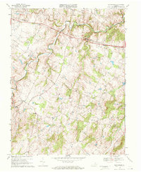
 1894 Warrenton1894 Print · USGSVirginia's northern Piedmont and mountain gaps are mapped here in the late nineteenth century as the rail-and-river economy flourished. Genealogists can trace family names and small crossroads from Warrenton and Brentsville to White Sulphur Springs.9 unique versions available
 - 1943 Map of Upperville, 1961 Print
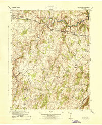
 1943 Upperville1961 Print · USGSNorthern Virginia's Piedmont and Blue Ridge foothills are captured here during the early 1940s. Genealogists can trace family footprints at Upperville, Delaplane, and Markham, or locate landmarks like Pennys Hill Sch and the SOUTHERN rail line.
 - 1943 Map of Rectortown, 1961 Print
 1943 Rectortown1961 Print · USGSNorthern Virginia's Piedmont landscape is captured here during the early years of the Second World War. Researchers can trace the Southern railroad line through Rectortown or locate family history near Ivy Hill Cem and Atoka.
 - 1944 Map of Upperville
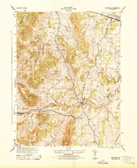 1944 Upperville1944 Print · USGSThe Fauquier County countryside during the mid-1940s shows a landscape of prominent ridges and rural crossroads. Genealogists and local historians can trace the paths between Delaplane and Markham, locating landmarks like Fleetwood Roller Mills and the Fennys Hill School.
 - 1944 Map of Rectortown
 1944 Rectortown1944 Print · USGSFauquier and Loudoun counties are captured in the mid-1940s during a period of transition for northern Virginia's rural landscape. Researchers can trace the Southern rail corridor through Rectortown or locate family history at Ivy Hill Cemetery and the Milan Gristmill.
 - 1948 Map of Washington
 1948 Washington1948 Print · USGSThe Potomac and Chesapeake regions in the late 1940s reveal a landscape of expanding military reach and deep-rooted Tidewater settlements. Trace old rail corridors like the Richmond Fredericksburg & Potomac RR or locate landmarks like the Wakefield Washington Monument and St. Marys College.2 unique versions available
 - 1957 Map of Washington, 1966 Print
 1957 Washington1966 Print · USGSThe mid-Atlantic region during the mid-fifties and early sixties reveals a landscape of growing suburbs and vital military outposts. Researchers can trace historic river towns and shorelines from Alexandria to the Hooper Islands and St Clements Island.5 unique versions available
 - 1961 Map of Washington
 1961 Washington1961 Print · USGSThe mid-Atlantic region in the late fifties is presented in remarkable detail, from the Blue Ridge foothills to the Chesapeake Eastern Shore. Researchers can trace historic river landings and military sites like Mount Vernon, Fort Belvoir, and Point Lookout.2 unique versions available
 - 1970 Map of Rectortown, 1972 Print
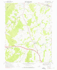
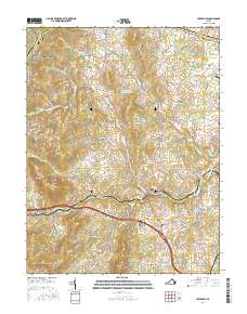
 1970 Rectortown1972 Print · USGSFauquier and Loudoun counties appear in the early 1970s as a landscape of established horse farms and historic hamlets. Researchers can trace the Southern rail line through Rectortown, find local landmarks like Ivy Hill Cem, and locate the Middleburg Training Track.3 unique versions available
 - 1970 Map of Upperville, 1976 Print
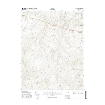
 1970 Upperville1976 Print · USGSNorthern Fauquier County and the Blue Ridge foothills are captured in the early seventies as the region maintained its rural character. Genealogists and historians can trace the locations of old country churches like Pleasant Vale Ch and rail stops at Markham or Delaplane.3 unique versions available
 - 1982 Map of Washington West, 1983 Print
 1982 Washington West1983 Print · USGSThe Virginia and Maryland suburbs were undergoing intense development in the early eighties as the capital region expanded outward. Researchers can trace the footprint of Cold War-era defense sites like Fort Belvoir and Vint Hill Farms Station alongside growing academic centers like George Mason University.
 - 1986 Map of Washington West
 1986 Washington West1986 Print · USGSNorthern Virginia and the D.C. metro area are captured here in the mid-eighties as suburban growth began to meet rural Fauquier County. Trace the development of the corridor from Alexandria out to Dulles and the preserved lands of Prince William Forest Park.2 unique versions available
 - 1989 Map of Washington
 1989 Washington1989 Print · USGSThe Potomac River valley and Chesapeake Bay are shown in comprehensive detail during the late 1980s. Genealogists and historians can trace the transition from urban Alexandria to the rural Northern Neck, locating landmarks like Mount Vernon and Stratford Hall.
 - 2010 Map of Upperville, 2010 Print
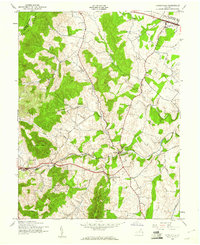
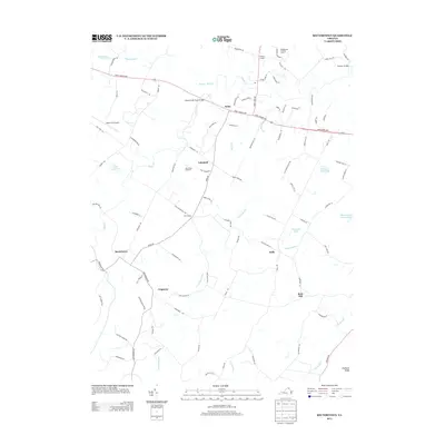
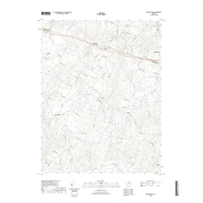
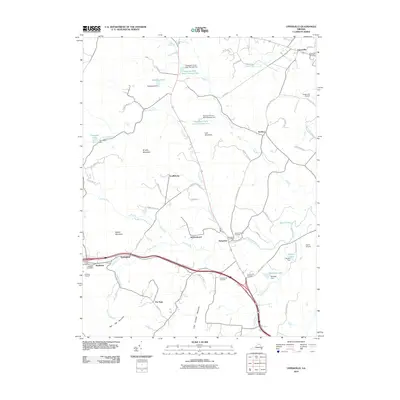 2010 Upperville2010 Print · USGSCovers Upperville, including Paris, Delaplane, and other nearby areas
 - 2010 Map of Rectortown, 2010 Print
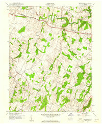
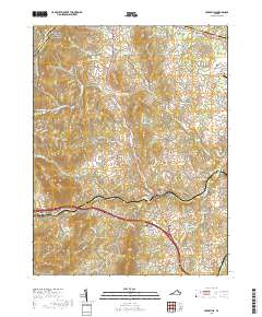
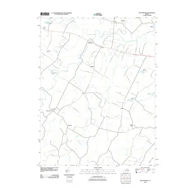 2010 Rectortown2010 Print · USGSCovers Upperville, including Marshall, Middleburg, and other nearby areas
 - 2013 Map of Rectortown, 2013 Print
 2013 Rectortown2013 Print · USGSCovers Upperville, including Marshall, Middleburg, and other nearby areas
 - 2013 Map of Upperville, 2013 Print
 2013 Upperville2013 Print · USGSCovers Upperville, including Paris, Delaplane, and other nearby areas
 - 2016 Map of Rectortown, 2016 Print
 2016 Rectortown2016 Print · USGSCovers Upperville, including Marshall, Middleburg, and other nearby areas
 - 2016 Map of Upperville, 2016 Print
 2016 Upperville2016 Print · USGSCovers Upperville, including Paris, Delaplane, and other nearby areas
 - 2019 Map of Rectortown, 2019 Print
 2019 Rectortown2019 Print · USGSCovers Upperville, including Marshall, Middleburg, and other nearby areas
 - 2019 Map of Upperville, 2019 Print
 2019 Upperville2019 Print · USGSCovers Upperville, including Paris, Delaplane, and other nearby areas
 - 2022 Map of Rectortown, 2022 Print
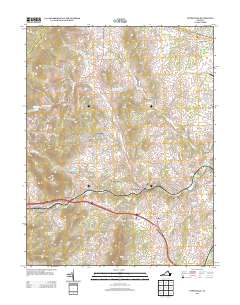
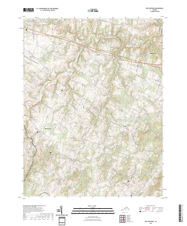 2022 Rectortown2022 Print · USGSNorthern Virginia's hunt country and rural estates are beautifully documented in this recent survey of the Fauquier and Loudoun county lines. Genealogists and historians can trace family land and community centers through landmarks like Old Carters Mill, Rectortown Cem, and the Odd Fellows Cem.
 - 2022 Map of Upperville, 2022 Print
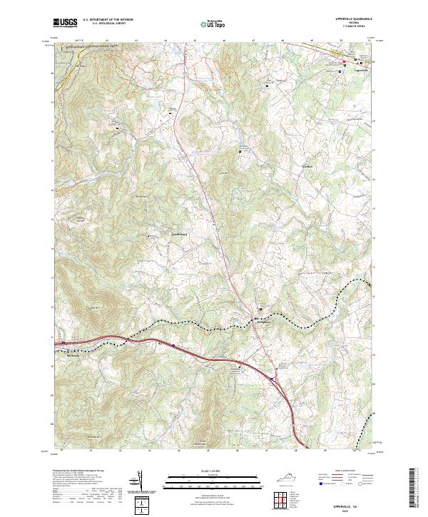 2022 Upperville2022 Print · USGSVirginia horse country meets the Blue Ridge in this modern survey of the Fauquier and Loudoun border. Genealogists can trace family burial sites like the Edmonds Family Cem and Heindon Family Cem alongside the historic Goose Creek watershed.
End of results
Showing maps 1-23 of 23
Top cities near Upperville
- Gainesville historical maps
- Purcellville historical maps
- Berryville historical maps
- Shenandoah Farms historical maps
- Shannondale historical maps
- Marshall historical maps
See more
Frequently asked questions
- What are the different types of historical maps available for Upperville?
- What is the oldest map of Upperville?
- Where can I purchase historical maps of Upperville for my home or office?
- Where can I download high-res historical maps of Upperville?
- Are there historical topographic maps available for Upperville?
- Is there historical aerial imagery available for Upperville?
- Where are historical maps of Upperville sourced from?