Old Maps of New Post, Spotsylvania County
Explore 16 old maps of New Post, spanning from 1889 to today. These high-resolution historic maps reveal how streets, neighborhoods, landmarks, and natural features evolved over time — perfect for genealogy, metal detecting, research, and local history exploration.
What you can do with these maps:
- See how New Post changed over time: Compare historical maps to modern-day views to trace roads, homesites, rail lines & more.
- View detailed metadata: Each map includes creators, publishers, year, scale, and archive source.
- Overlay maps with satellite & LiDAR: Visualize the past alongside modern tools to explore terrain & human change.
- Trusted historical sources: Maps sourced from the USGS, Library of Congress, and other archives.
- Access maps your way: View online, download high-res files, or order prints for personal or research use.
Start exploring old maps of New Post to uncover forgotten places, hidden landmarks, and the deep history beneath your feet.
New Post, Spotsylvania County maps
(16)- 1889 Map of Fredericksburg
 1889 Fredericksburg1889 Print · USGSThe Tidewater region of Virginia and Maryland comes into focus in the late 1880s, centered on the river-and-rail hub of Fredericksburg. Genealogists can trace early landmarks like Rappahannock Academy, Bull Church, and Saunders Wharf.
 - 1892 Map of Fredericksburg
 1892 Fredericksburg1892 Print · USGSCoastal Virginia and Maryland are captured here in the late nineteenth century, showing a landscape of river-port towns and historic crossroads. Researchers can locate vanished landmarks and family sites like Rappahannock Academy, Whites Mill, and the riverside Port Royal.
 - 1894 Map of Fredericksburg
 1894 Fredericksburg1894 Print · USGSThe Tidewater and Piedmont regions of Virginia meet in the late nineteenth century at the head of the Rappahannock River. Local historians can trace early inland commerce through rural centers like Nindes Store, the Rappahannock Academy, and Stafford.10 unique versions available
 - 1942 Map of Guinea
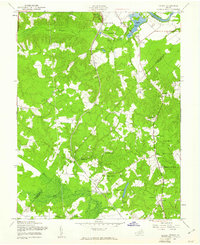
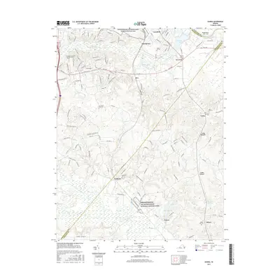
 1942 Guinea1942 Print · USGSSpotsylvania and Caroline counties are seen here in the early 1940s as the rail-driven economy of the Rappahannock valley meets the expansion of federal military lands. Genealogists can locate family-named hubs like Flippos Corner, rural schools such as New Hope School, and the crossroads at Guinea.
 - 1948 Map of Washington
 1948 Washington1948 Print · USGSThe Potomac and Chesapeake regions in the late 1940s reveal a landscape of expanding military reach and deep-rooted Tidewater settlements. Trace old rail corridors like the Richmond Fredericksburg & Potomac RR or locate landmarks like the Wakefield Washington Monument and St. Marys College.2 unique versions available
 - 1949 Map of Guinea, 1961 Print
 1949 Guinea1961 Print · USGSSpotsylvania and Caroline Counties appear here just after the war, showing a landscape of family-named crossroads and established rail corridors. Genealogists can trace rural communities like Flippos Corner and Villboro, or locate the historic Stonewall Jackson Shrine.
 - 1957 Map of Washington, 1966 Print
 1957 Washington1966 Print · USGSThe mid-Atlantic region during the mid-fifties and early sixties reveals a landscape of growing suburbs and vital military outposts. Researchers can trace historic river towns and shorelines from Alexandria to the Hooper Islands and St Clements Island.5 unique versions available
 - 1961 Map of Washington
 1961 Washington1961 Print · USGSThe mid-Atlantic region in the late fifties is presented in remarkable detail, from the Blue Ridge foothills to the Chesapeake Eastern Shore. Researchers can trace historic river landings and military sites like Mount Vernon, Fort Belvoir, and Point Lookout.2 unique versions available
 - 1966 Map of Guinea, 1968 Print
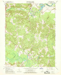 1966 Guinea1968 Print · USGSSpotsylvania and Caroline counties in the mid-1960s were defined by a network of rural rail stops and Civil War memory. Genealogists and historians can locate old rural centers like Guinea and Massaponax, or trace families near Jackson Shrine and Hopewell Ch.4 unique versions available
 - 1983 Map of Fredericksburg, 1984 Print
 1983 Fredericksburg1984 Print · USGSThe Virginia and Maryland tidewater region comes into sharp focus during the early 1980s, centered on the historic Rappahannock and Potomac river valleys. Researchers can trace the boundaries of the Fredericksburg-Spotsylvania National Military Park alongside growing residential areas and military sites like Fort A.P. Hill Military Reservation.2 unique versions available
 - 1989 Map of Washington
 1989 Washington1989 Print · USGSThe Potomac River valley and Chesapeake Bay are shown in comprehensive detail during the late 1980s. Genealogists and historians can trace the transition from urban Alexandria to the rural Northern Neck, locating landmarks like Mount Vernon and Stratford Hall.
 - 2010 Map of Guinea, 2010 Print
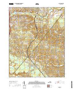
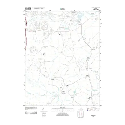 2010 Guinea2010 Print · USGSCovers New Post, including Daltons, Corbin, and other nearby areas
 - 2013 Map of Guinea, 2013 Print
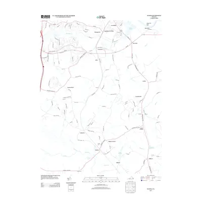 2013 Guinea2013 Print · USGSCovers New Post, including Daltons, Corbin, and other nearby areas
 - 2016 Map of Guinea, 2016 Print
 2016 Guinea2016 Print · USGSCovers New Post, including Daltons, Corbin, and other nearby areas
 - 2019 Map of Guinea, 2019 Print
 2019 Guinea2019 Print · USGSCovers New Post, including Daltons, Corbin, and other nearby areas
 - 2022 Map of Guinea, 2022 Print
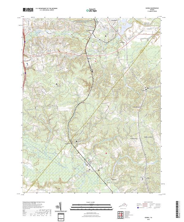 2022 Guinea2022 Print · USGSThe rural borderlands of Spotsylvania and Caroline Counties are shown here in the early 2020s, highlighting a landscape rich in memorial and military history. Researchers can trace numerous local burial sites including Minor Cem, Grace Church Cem, and the historic Macedonia Cem near Claiborne.
End of results
Showing maps 1-16 of 16
Frequently asked questions
- What are the different types of historical maps available for New Post?
- What is the oldest map of New Post?
- Where can I purchase historical maps of New Post for my home or office?
- Where can I download high-res historical maps of New Post?
- Are there historical topographic maps available for New Post?
- Is there historical aerial imagery available for New Post?
- Where are historical maps of New Post sourced from?