Old Maps of Cleveland, Washington
Explore 11 old maps of Cleveland, spanning from 1916 to today. These high-resolution historic maps reveal how streets, neighborhoods, landmarks, and natural features evolved over time — perfect for genealogy, metal detecting, research, and local history exploration.
What you can do with these maps:
- See how Cleveland changed over time: Compare historical maps to modern-day views to trace roads, homesites, rail lines & more.
- View detailed metadata: Each map includes creators, publishers, year, scale, and archive source.
- Overlay maps with satellite & LiDAR: Visualize the past alongside modern tools to explore terrain & human change.
- Trusted historical sources: Maps sourced from the USGS, Library of Congress, and other archives.
- Access maps your way: View online, download high-res files, or order prints for personal or research use.
Start exploring old maps of Cleveland to uncover forgotten places, hidden landmarks, and the deep history beneath your feet.
Cleveland, WA maps
(11)- 1916 Map of Arlington
 1916 Arlington1916 Print · USGSThe Columbia River frontier of the mid-1910s reveals a world where the Oregon Trail and early railroads met the water. Genealogists can trace family roots through rural landmarks like Stegeman Ranch, Shutler, and the Locust Grove School.4 unique versions available
 - 1953 Map of The Dalles, 1965 Print
 1953 The Dalles1965 Print · USGSThe Columbia River Gorge at mid-century shows a region being transformed by massive hydroelectric dams and a growing highway network. Researchers can trace the development of The Dalles Dam, locate the Maryhill Museum, and find old rail stops in Rufus, Wishram, and Arlington.3 unique versions available
 - 1956 Map of The Dalles
 1956 The Dalles1956 Print · USGSThe Columbia River Gorge and the high Cascades are captured in the mid-1950s, showing a vital corridor of rail and road. Researchers can trace the original path of The Old Oregon Trail or locate historical landmarks like the Maryhill Museum and Mount Hood.
 - 1957 Map of The Dalles
 1957 The Dalles1957 Print · USGSThe Columbia River Gorge and the high plateaus of the mid-1950s come alive on this detailed survey of northern Oregon and southern Washington. Researchers can trace the path of the Oregon Trail and The Old Barlow Road alongside river towns like The Dalles and Wishram.
 - 1965 Map of Bickleton, 1967 Print
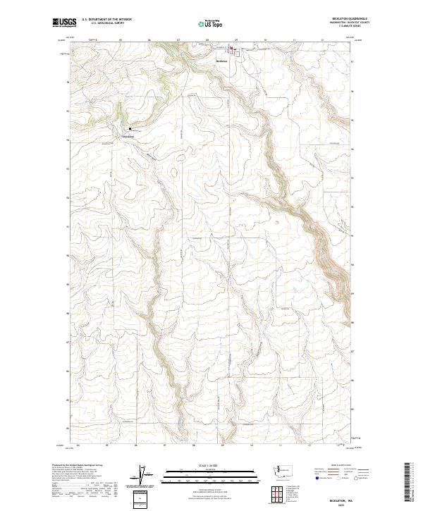
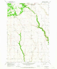 1965 Bickleton1967 Print · USGSBickleton and Cleveland stand as central rural hubs in Klickitat County during the mid-sixties, surrounded by a high-plateau network of named ranch roads. Genealogists and historians can locate specific landmarks like the Big Horn Sch, the local Rodeo Grounds, and the winding course of Wood Gulch.
 - 1980 Map of Goldendale, 1981 Print
 1980 Goldendale1981 Print · USGSThe Columbia River corridor in the 1980s was a critical junction of rail, water, and highway commerce between Washington and Oregon. Genealogists and historians can trace riverside settlements like Wishram, high-country towns like Bickleton, and the grounds of the Maryhill Museum.
 - 2011 Map of Bickleton, 2011 Print
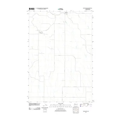 2011 Bickleton2011 Print · USGSCovers Cleveland, including Bickleton, Klickitat County, and other nearby areas
 - 2013 Map of Bickleton, 2013 Print
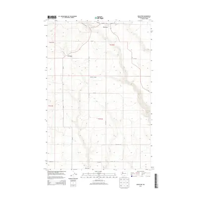 2013 Bickleton2013 Print · USGSCovers Cleveland, including Bickleton, Klickitat County, and other nearby areas
 - 2017 Map of Bickleton, 2017 Print
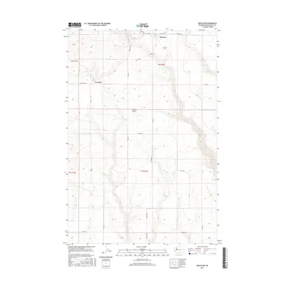 2017 Bickleton2017 Print · USGSCovers Cleveland, including Bickleton, Klickitat County, and other nearby areas
 - 2020 Map of Bickleton, 2020 Print
 2020 Bickleton2020 Print · USGSCovers Cleveland, including Bickleton, Klickitat County, and other nearby areas
 - 2023 Map of Bickleton, 2023 Print
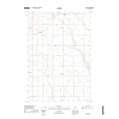
 2023 Bickleton2023 Print · USGSBickleton and the neighboring settlement of Cleveland occupy this Klickitat County plateau in the modern era. Genealogists and local historians can trace family roots at the Cleveland Cem and follow the paths of Wood Creek and Big Horn Canyon.
End of results
Showing maps 1-11 of 11
Top cities near Cleveland
Frequently asked questions
- What are the different types of historical maps available for Cleveland?
- What is the oldest map of Cleveland?
- Where can I purchase historical maps of Cleveland for my home or office?
- Where can I download high-res historical maps of Cleveland?
- Are there historical topographic maps available for Cleveland?
- Is there historical aerial imagery available for Cleveland?
- Where are historical maps of Cleveland sourced from?