Old Maps of Elmer City, Washington
Explore 22 old maps of Elmer City, spanning from 1948 to today. These high-resolution historic maps reveal how streets, neighborhoods, landmarks, and natural features evolved over time — perfect for genealogy, metal detecting, research, and local history exploration.
What you can do with these maps:
- See how Elmer City changed over time: Compare historical maps to modern-day views to trace roads, homesites, rail lines & more.
- View detailed metadata: Each map includes creators, publishers, year, scale, and archive source.
- Overlay maps with satellite & LiDAR: Visualize the past alongside modern tools to explore terrain & human change.
- Trusted historical sources: Maps sourced from the USGS, Library of Congress, and other archives.
- Access maps your way: View online, download high-res files, or order prints for personal or research use.
Start exploring old maps of Elmer City to uncover forgotten places, hidden landmarks, and the deep history beneath your feet.
Elmer City, WA maps
(22)- 1948 Map of Grand Coulee Dam, 1955 Print
 1948 Grand Coulee Dam1955 Print · USGSThe Grand Coulee region underwent a massive transformation by the late 1940s as the dam transformed the river valley into a sprawling reservoir. Trace the growth of Coulee Dam and Grand Coulee, and locate rural landmarks like the Grand Coulee Grange and Bagdad Junction.6 unique versions available
 - 1950 Map of Grand Coulee Dam
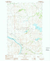
 1950 Grand Coulee Dam1950 Print · USGSThe Grand Coulee region during the late 1940s reveals a landscape transformed by the new reservoir and the massive engineering of the dam. Researchers can trace local history through the Lafollette Cem, the community at Elmer City, and rural sites like the Grand Coulee Grange.2 unique versions available
 - 1950 Map of Nespelem, 1952 Print
 1950 Nespelem1952 Print · USGSWithin the Colville Indian Reservation at mid-century, this area shows the transition from mountain lakes to the Columbia River shore. You can trace early settlements and agency sites like Nespelem, Koontzville, and the Colville Indian Agency during a period of significant regional change.4 unique versions available
 - 1953 Map of Ritzville, 1966 Print
 1953 Ritzville1966 Print · USGSEastern Washington was undergoing a massive agricultural and industrial transformation in the mid-fifties as irrigation from the Grand Coulee Dam reached the plateau. Researchers can trace the mid-century rail network of the Great Northern and locate vital local sites like Larson Air Force Base and Odessa.3 unique versions available
 - 1954 Map of Okanogan, 1964 Print
 1954 Okanogan1964 Print · USGSNorth Central Washington’s interior comes into focus during the mid-fifties, showing the rise of the Columbia River reservoir system. Genealogists and historians can trace the Great Northern rail line and locate historical mining operations at the Mountain Lion Mine or Gold Hill Mine.2 unique versions available
 - 1958 Map of Okanogan
 1958 Okanogan1958 Print · USGSThe Okanogan River valley and the Colville Indian Reservation are shown here in the late fifties, during a period of established river and rail commerce. Researchers can trace the Great Northern line through Oroville or locate landmarks like the Knowlton School and Orient Ranger Station.
 - 1959 Map of Ritzville
 1959 Ritzville1959 Print · USGSEastern Washington in the late fifties reveals a landscape transformed by massive irrigation projects and postwar growth. Genealogists and historians can trace rail-line communities from Ritzville to Davenport and locate landmarks like Larson Air Force Base and Telford Station.
 - 1965 Map of Ritzville
 1965 Ritzville1965 Print · USGSCentral Washington during the mid-sixties shows a landscape shaped by massive irrigation projects and the Cold War. Genealogists and historians can trace rail-town life and military presence through Ephrata Air Base, the Telford Station, and local schools.
 - 1983 Map of Coulee Dam
 1983 Coulee Dam1983 Print · USGSThe high plateau and deep coulees of central Washington are captured here in the early eighties, centered on the massive Franklin D Roosevelt Lake and the towns of Coulee Dam and Grand Coulee. Researchers can trace the Burlington Northern rail corridor through old stops at Govan and Mondovi or locate the historic Fort Spokane.2 unique versions available
 - 1984 Map of Nespelem
 1984 Nespelem1984 Print · USGSThe Colville Indian Reservation and the Columbia River valley are shown here in the mid-1980s, just as modern recreation was shaping the landscape. Genealogists and researchers can locate old communities like Inchelium and Keller or trace mining history at the Germania Mine.
 - 1989 Map of Belvedere
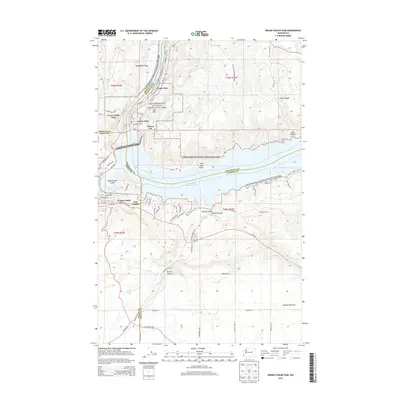
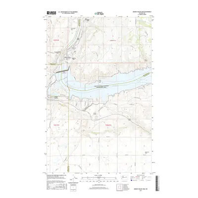
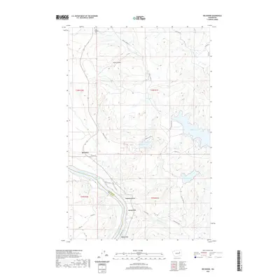
 1989 Belvedere1989 Print · USGSThe northern banks of the Columbia River are shown here in the late 1980s as the river swells into the Rufus Woods Lake reservoir. Genealogists and local historians can trace the riverside communities of Seatons Grove, Koontzville, and Elmer City, as well as the upland waters of Buffalo Lake and McGinnis Lake.2 unique versions available
 - 1989 Map of Grand Coulee Dam
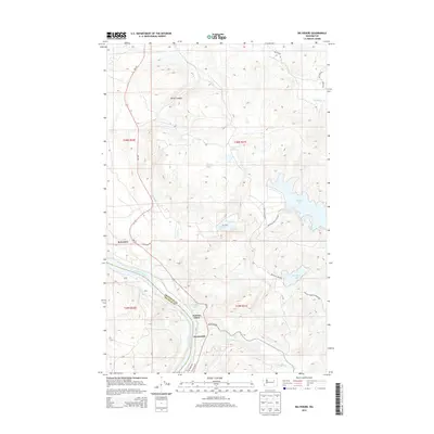
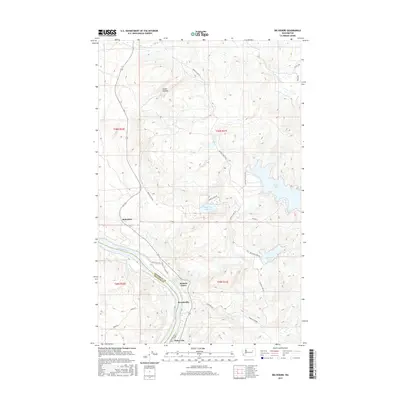
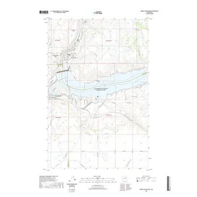
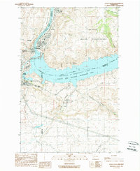 1989 Grand Coulee Dam1989 Print · USGSIn the late 1980s, the Columbia River landscape was defined by the massive scale of the Grand Coulee Dam and its surrounding government settlements. Researchers can trace the layout of Elmer City and Grand Coulee alongside infrastructure like the Pumping Station and Colville Indian Reservation.
 - 2011 Map of Grand Coulee Dam, 2011 Print
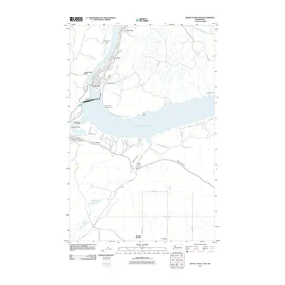 2011 Grand Coulee Dam2011 Print · USGSCovers Elmer City, including Grand Coulee, East Heights, and other nearby areas
 - 2011 Map of Belvedere, 2011 Print
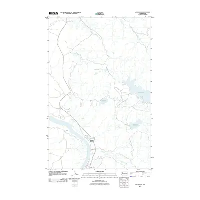 2011 Belvedere2011 Print · USGSCovers Elmer City, including Belvedere, Seatons Grove, and other nearby areas
 - 2014 Map of Belvedere, 2014 Print
 2014 Belvedere2014 Print · USGSCovers Elmer City, including Belvedere, Seatons Grove, and other nearby areas
 - 2014 Map of Grand Coulee Dam, 2014 Print
 2014 Grand Coulee Dam2014 Print · USGSCovers Elmer City, including Grand Coulee, East Heights, and other nearby areas
 - 2017 Map of Belvedere, 2017 Print
 2017 Belvedere2017 Print · USGSCovers Elmer City, including Belvedere, Seatons Grove, and other nearby areas
 - 2017 Map of Grand Coulee Dam, 2017 Print
 2017 Grand Coulee Dam2017 Print · USGSCovers Elmer City, including Grand Coulee, East Heights, and other nearby areas
 - 2020 Map of Grand Coulee Dam, 2020 Print
 2020 Grand Coulee Dam2020 Print · USGSCovers Elmer City, including Grand Coulee, East Heights, and other nearby areas
 - 2020 Map of Belvedere, 2020 Print
 2020 Belvedere2020 Print · USGSCovers Elmer City, including Belvedere, Seatons Grove, and other nearby areas
 - 2023 Map of Grand Coulee Dam, 2023 Print
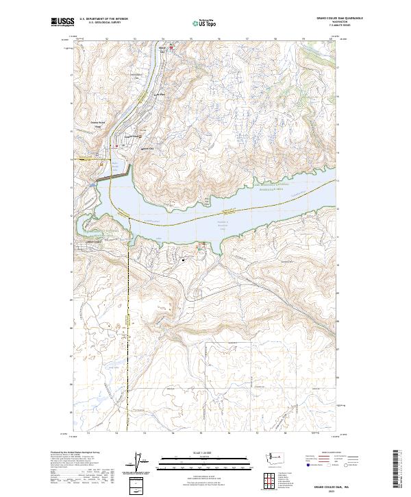 2023 Grand Coulee Dam2023 Print · USGSThe massive dam and its reservoirs define this reach of the Columbia River in the early 2020s. Researchers can trace the communities of Coulee Dam, Mason City, and Grand Coulee alongside the Spring Canyon Cem.
 - 2023 Map of Belvedere, 2023 Print
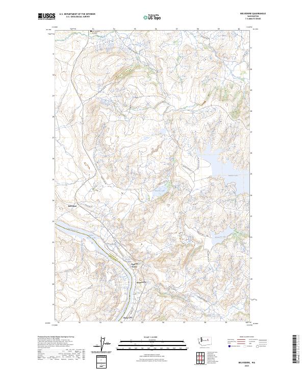 2023 Belvedere2023 Print · USGSThe banks of the Columbia River and the Colville Reservation highlands are captured in this recent survey. Local researchers can trace the roads connecting Elmer City and Seatons Grove or locate the Little Nespelem Cemetery and Buffalo Lake.
End of results
Showing maps 1-22 of 22
Top cities near Elmer City
Frequently asked questions
- What are the different types of historical maps available for Elmer City?
- What is the oldest map of Elmer City?
- Where can I purchase historical maps of Elmer City for my home or office?
- Where can I download high-res historical maps of Elmer City?
- Are there historical topographic maps available for Elmer City?
- Is there historical aerial imagery available for Elmer City?
- Where are historical maps of Elmer City sourced from?